Mount Mahura (Shepit)
Mahura is a 1,313 m mountain in the Pokuttia-Bukovyna Carpathians, on the Dovhyi Hrun ridge. It lies in the Vyzhnytsia district of Chernivtsi Oblast, south of the village of Dolishnii Shepit. To the west is the Shurdyn pass (1,173.5 m); to the south-east the ridge leads to Mount Lunhul (1,377 m) near the Ukrainian-Romanian border. The villages of Ruska and Foshky are also nearby.
The slopes of Mahura are steep and only partly forested, so the summit offers wide views over the Bukovynian mountains. The name «Mehura» is also found on maps and in local use.
How to get there
Our site has no marked route to this Mahura yet. The mountain is unusual in that a road runs up to the summit, to the Kovcheh tourist base; on foot it is convenient to climb from Dolishnii Shepit or from the Shurdyn pass. Do not confuse this summit with the other Mahuras of the Carpathians — the name is very common in the mountains.
Water, shelter and safety
Our map shows the Kovcheh shelter about 500 m from the summit, a picnic shelter and a spring above Dolishnii Shepit about 1.1 km away, and captured springs near Foshky and Dolishnii Shepit about 1.3 km away. The open slopes give no protection from wind or lightning: in a thunderstorm head down into the forest. In winter the road to the top may be impassable. In an emergency call 112 or 101 — the mountain rescue units of Bukovyna work around the clock.
Interesting facts
- An unusual tourist base, Kovcheh («the Ark»), has been built on the summit — a rare case in the Carpathians of a road leading right to the top.
- Mahura and neighbouring Lunhul are summits of the same ridge, Dovhyi Hrun; the Romanian border runs just south of Lunhul.
Comments
Travellers’ experience: reports, tips, questions.
No one has reported on this trail yet. Been here lately? Tell others what it is like now.
Water and shelter nearby
- Mountain shelter “Ark”530 m · Not verified · 1 291 m
- Spring (Dolishnii Shepit)1.1 km · Not verified · 1 145 m
- Captured spring (Foshky)1.3 km · Not verified · 1 163 m
- Captured spring (Dolishnii Shepit)1.3 km · Not verified · 1 085 m
Wildlife nearby
AllPlaces to stay nearby
All stays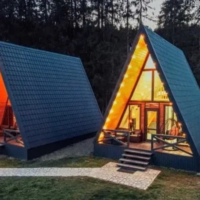 HotelVilla Paraiso ShurdynPutyla4.2 km from Mount Mahura (Shepit)Hot tubPoolJacuzziNearby: Mt Mahura 4.2 kmAviary of Selyatyn forestry 7.1 kmfrom 4 200 UAH per night
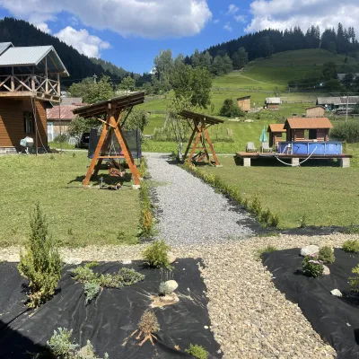 HotelVilla Karpatska BulbonaMyhove11 km from Mount Mahura (Shepit)Villa Karpatska Bulbona is located in the picturesque heart of the Carpathians in the village of Serhii, Vyzhnytsia district, Chernivtsi region.Nearby: St. Nicholas Church 3.9 km
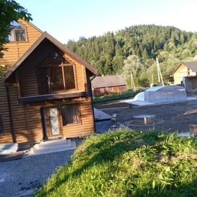 HotelVilla Paraiso KarpatyPutyla12 km from Mount Mahura (Shepit)Hot tubPoolSaunaNearby: St. Nicholas Church 3.0 kmfrom 1 440 UAH per night
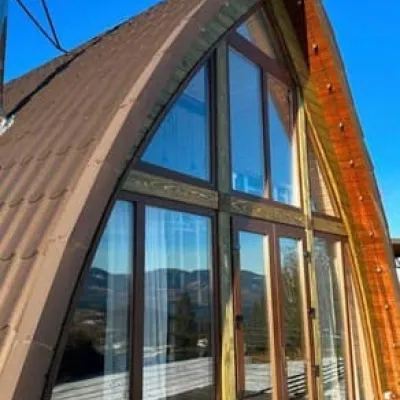 CottageRufus GlampingPutyla13 km from Mount Mahura (Shepit)PoolBBQParkingNearby: St. Nicholas Church 2.5 kmfrom 5 400 UAH per night
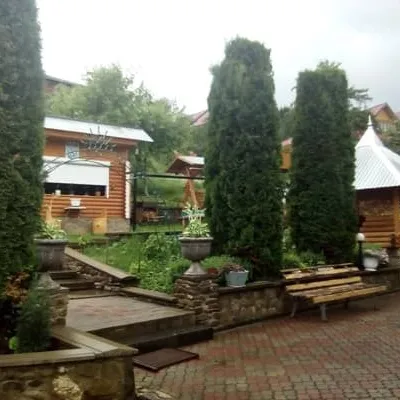 HotelU VlasiiPutyla14 km from Mount Mahura (Shepit)SaunaBBQParkingNearby: St. Nicholas Church 1.5 kmSt. Dmitry's Church 9.3 kmfrom 600 UAH per night
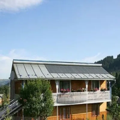 HotelPid SokoliyeiuPutyla14 km from Mount Mahura (Shepit)Hot tubSaunaBBQNearby: St. Nicholas Church 1.0 kmSt. Dmitry's Church 8.8 kmfrom 1 100 UAH per night
Trails nearby
All trails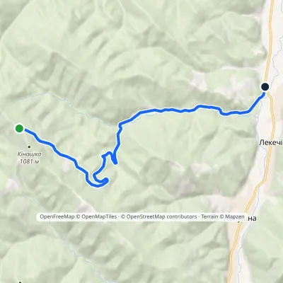 EasyOne-dayMarkedMount Kinashka Lekechi villageElevation profile521–1 043 m9.5 kmascent 4 m≈ 2.5 h walking15 km from Mount Mahura (Shepit)
 HardMulti-dayMarkedShepit village to Shybene villagevia Mount Yarovytsia, Mount Pnivie +1Elevation profile849–1 599 m73.4 kmascent 2 319 m19 km from Mount Mahura (Shepit)
 ModerateOne-dayMarkedShepit village Mount YarovytsiaElevation profile858–1 574 m20.8 kmascent 898 m≈ 6.5 h walking19 km from Mount Mahura (Shepit)
Nearby attractions
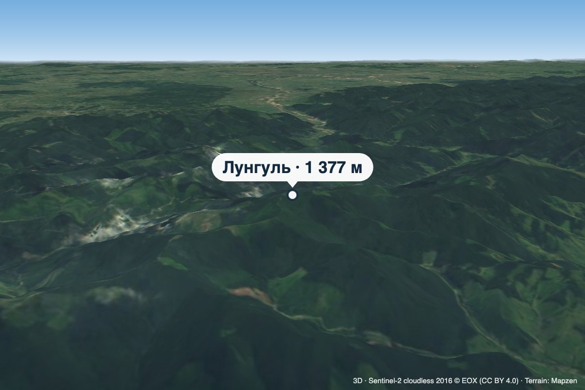 PeakMount LunhulRuskaaltitude 1 377 m4.3 km from Mount Mahura (Shepit)Lunhul is a 1,377 m summit (1,377.4 m exactly) in the Pokuttia-Bukovyna Carpathians. It stands on the boundary of the former Vyzhnytsia and Putyla districts of...
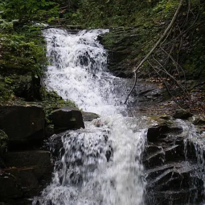 WaterfallChemernarsky Hook waterfallDolishnii Shepit · Pokuttia-Bukovina Carpathians5 km from Mount Mahura (Shepit)height 4 m803 m above sea levelChemernarsky Huk Waterfall is a small but very beautiful waterfall located in the village of Dolishniy Shepit, Chernivtsi region.
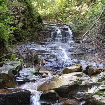 WaterfallChemernarsky waterfall Lower HookDolishnii Shepit · Pokuttia-Bukovina Carpathians5.1 km from Mount Mahura (Shepit)height 2.5 m716 m above sea levelThe Chemernarsky Lower Hook Waterfall (also known as Lower Shepit) is located in Dolishnyi Shepit, in the western Ukraine, Chernivtsi region.
Craft nearby
All craft places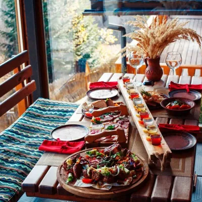 Koliby & Hutsul cuisineKoliba of the Karpaty complex, MyhoveMyhove20 km from Mount Mahura (Shepit)The Kolyba in Myhove is the restaurant of the Karpaty cottage complex on the main street of Myhove, Bukovyna’s ski resort in the Vyzhnytsia district.
 Eco farmsPrykarpatskyi Ravlyk Snail Farm, BahnaBahna33 km from Mount Mahura (Shepit)Prykarpatskyi Ravlyk snail farm is one of the few food farms in the Vyzhnytsia area that welcomes visitors not just to buy produce but for a proper farm visit.
 Markets & fairsNight Wood Market, KutyKuty35 km from Mount Mahura (Shepit)The night bazaar in Kuty is the most colourful woodwork market in the Hutsul region, and it vanishes at dawn.
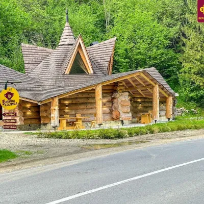 Koliby & Hutsul cuisineBabyna Koliba, KryvorivniaKryvorivnia36 km from Mount Mahura (Shepit)Babyna Kolyba («Granny's Koliba») serves authentic Hutsul food in Kryvorivnia, a village sometimes called the «Ukrainian Athens»: Ivan Franko, Mykhailo Kotsiubynskyi...
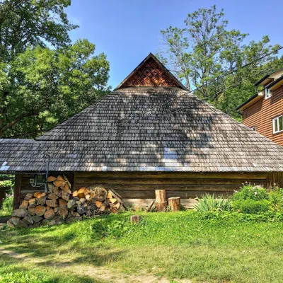 Ethno parks & homesteadsLived-in Hutsul Grazhda on Ihrets, KryvorivniaKryvorivnia37 km from Mount Mahura (Shepit)On the slopes of the Ihrets ridge above Kryvorivnia stands one of the few lived-in Hutsul grazhda homesteads still inhabited and farmed by a family.
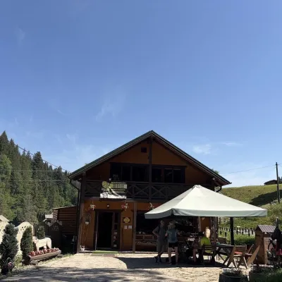 Craft shopsKopalnia Bryndzy cheese shop and tasting, VerkhovynaVerkhovyna38 km from Mount Mahura (Shepit)Kopalnia Bryndzy (“The Brynza Mine”) is a small farm cheese shop with a tasting room on the edge of Verkhovyna, in the valley of the Zhabievskyi stream.
