Mount Babyn Pohar
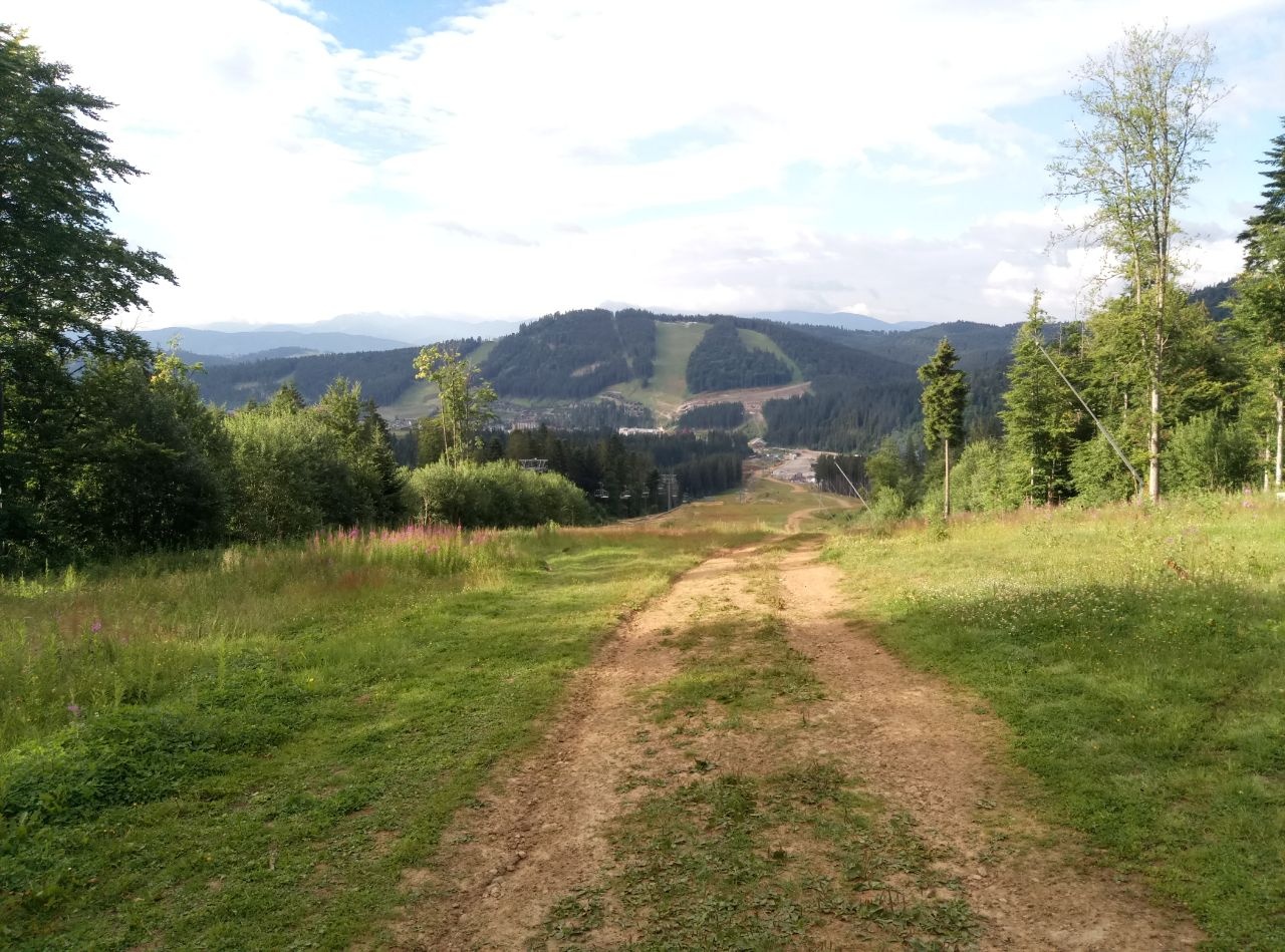
Babyn Pohar is a 1,449 m mountain in the eastern Gorgany, in the Nadvirna district of Ivano-Frankivsk Oblast. It stands at the western end of a long ridge crowned by Syniak (1,665 m), with Malyi Horhan (1,592 m) next along the crest. To the north-west, across the Zubrynka stream valley, rises Dovbushanka (1,754 m). The nearest village in our catalogue is Polianytsia (Bukovel), about 4 km away; reference books also name Zelena and Bystrytsia.
The summit is covered with spruce forest, so the wide views open from the clearings on the slopes rather than from the top itself. The mountain lies on the edge of the Gorgany Nature Reserve, and the Carpathian National Nature Park begins less than half a kilometre to the east.
How to get there
The red-marked East Carpathian Tourist Trail crosses Babyn Pohar: westwards along the main ridge to the Stoly pass, eastwards over Malyi Horhan and Syniak. From Polianytsia (Bukovel) you can walk the loops Polianytsia – Mount Malyi Horhan – Polianytsia (16.2 km) or Polianytsia – Malyi Horhan – Syniak – Polianytsia (18.8 km); both pass the summit.
From Bystrytsia the route Bystrytsia – Mount Malyi Horhan (22.1 km) climbs onto the ridge. For a two-day crossing try Yablunytsia – Khomiak – Syniak – Malyi Horhan – Dovbushanka – Vedmezhyk – Bystrytsia (38.2 km); the longest option is the Tatariv – Myslivka traverse over the main Gorgany summits (171 km).
Water, shelter and safety
Our map shows several springs on the Blazhiv mountain meadow about 1.1 km from the summit (one of them dries up), and a hut and a mountain shelter on the same meadow about 1.2 km away. Weather shelters stand on the slopes above Polianytsia. The Gorgany are famous for their boulder fields and dwarf-pine thickets: stay on the marked path, don't take shortcuts, and remember that the nature reserve has its own rules for visitors. The weather changes fast, so carry a rain jacket, warm layers and a charged phone. In an emergency call 112 or 101 — mountain rescue works around the clock.
Interesting facts
- In the local dialect «pohar» means a burnt area, a place left after a fire — hence the mountain's name.
- Bukovel ski lifts run on the southern slopes of Babyn Pohar, and a yellow-marked loop path leads from the resort up to the ridge.
- In the 1930s the Main Carpathian Trail crossed the summit; it then descended into the Zubrynka valley, where tourist shelters stood.
Photos: Kostya Holoborodov, CC BY-SA 4.0 — Wikimedia Commons.
Location on the map
Comments
Places to stay nearby
 Cottage"Shchivky"5.7 km from Mount Babyn PoharLiving room (fold-out sofa, table with chairs, TV, balcony; kitchenette — electric kettle, sink); double room (double bed, wardrobe, TV, balcony);Nearby: Mt Sinyak 4.7 kmPerevernuty Khata 2.5 km18 trails
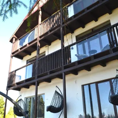 CottageApartments "Mayak". Cottage in the Carpathians with a view of the mountains9 km from Mount Babyn PoharHot tubBBQKitchenNearby: Mt Khomiak 6.2 kmPolonyna Khomyakov 6.9 km9 trails
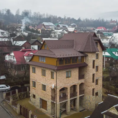 HotelGuest House "Beskyid"11 km from Mount Babyn PoharKitchenWi‑FiPetsNearby: Probiy waterfall 1.7 kmDovbush trail in Yaremche 2.9 km33 trails
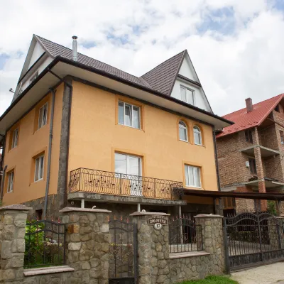 HotelGuest House "U Almy"12 km from Mount Babyn PoharKitchenTransferNearby: Probiy waterfall 1.2 kmDovbush trail in Yaremche 1.9 km31 trails
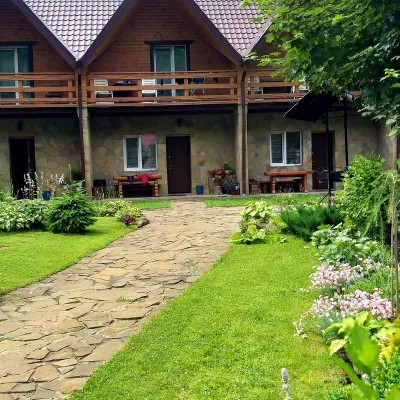 CottageCottages of Kiprey in Yaremche12 km from Mount Babyn PoharPoolBBQKitchenNearby: Probiy waterfall 1.4 kmDovbush trail in Yaremche 900 m31 trails
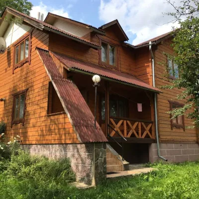 CottageCottage "V Sadu"12 km from Mount Babyn PoharThe access to the cottage is via an asphalt road. Two-story cottage for 8-9 guests.Nearby: Probiy waterfall 1.8 kmDovbush trail in Yaremche 1.7 km31 trails
Trails nearby
 HardMulti-dayMarkedEast Carpathian Tourist TrailElevation profile635–1 819 m278.1 kmascent 14 105 munder 1 km from Mount Babyn Pohar
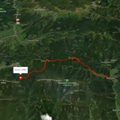 HardTwo-dayUnmarkedBystrytsia village Mount Malyi HorhanElevation profile727–1 440 m22.1 kmascent 1 349 m≈ 8 h walkingunder 1 km from Mount Babyn Pohar
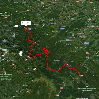 HardMulti-dayUnmarkedTatariv village to Myslivka villagevia Mount Syniak, Mount Dovbushanka +6Elevation profile671–1 792 m171.1 kmascent 9 973 munder 1 km from Mount Babyn Pohar
Nearby attractions
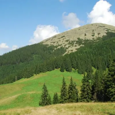 Mountain meadowPolonyna Blazhivaltitude 1 302 m1.3 km from Mount Babyn PoharThe Blazhiv meadow is located near the Malyi Horhan mountain. It is worth noting that although the Horhany are not very high, there are very steep and rocky slopes.
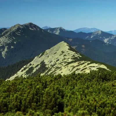 PeakMount Maly Gorganaltitude 1 592 m · Gorgany range2 km from Mount Babyn Pohar25 trails to the topSmall Gorgan, with a height of 1592 meters, is a peak of the Ukrainian Carpathians that is quite famous among outdoor enthusiasts, located on the territory of the...
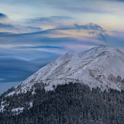 PeakMount Sinyakaltitude 1 665 m · Gorgany range3.8 km from Mount Babyn Pohar33 trails to the topMount Sinyak, 1665 meters high, is one of the peaks of the Gorgan massif of the Ukrainian Carpathians, located in the Nadvirna district of Ivano-Frankivsk region.