Mount Pantyr
Pantyr is a mountain in the south-eastern Gorgany, on the border of the Nadvirna district (Ivano-Frankivsk Oblast) and the Tiachiv district (Zakarpattia Oblast). Its height is 1,213 m according to OpenStreetMap and Wikidata and 1,225 m according to Ukrainian Wikipedia. Treeless meadows spread on both sides of the summit; the northern slopes are steep, the southern ones somewhat gentler. To the north lies the Legioniv Pass, to the west Mount Uria (1,447 m) and to the south Durnia (1,709 m). The nearest settlement is the village of Bystrytsia in the Nadvirna district (about 11 km in a straight line).
How to get there
Pantyr is part of long multi-day traverses of the Gorgany; our routes pass within a few dozen metres of the summit:
- Stara Huta — Mt Syvulia — Legioniv Pass — Mt Bratkivska — Mt Chorna Kleva — Polianytsia, 67.5 km;
- Bystrytsia — Mt Durnia — Mt Bratkivska — Mt Tataruka — Mt Blyznytsia — Kvasy, 64.5 km;
- Stara Huta — Mt Vysoka — Mt Syvulia — Mt Durnia — Mt Bratkivska — Mt Blyznytsia — Bilyn, 95.8 km.
These traverses take several days and require good fitness.
Water, shelter and safety
The nearest hut on our map is the one «on the Rafailovets stream», about 2.1 km away. We have no reliable springs near the summit, so stock up on water in advance. The Gorgany are known for boulder fields and dense dwarf pine where the path gets lost, so stick to your track and do not count on mobile coverage. In an emergency call 112 or 101 — the mountain rescue units work around the clock.
Interesting facts
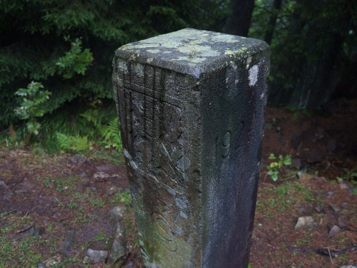
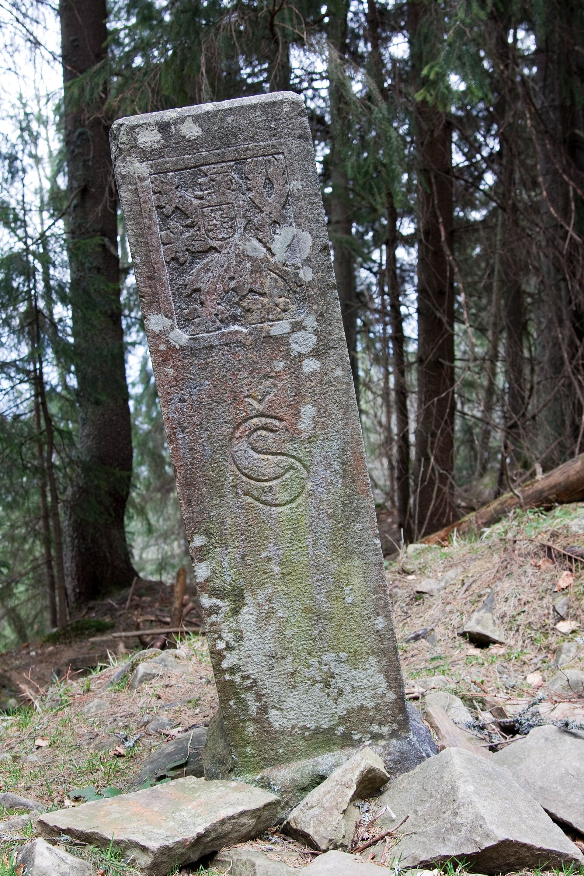
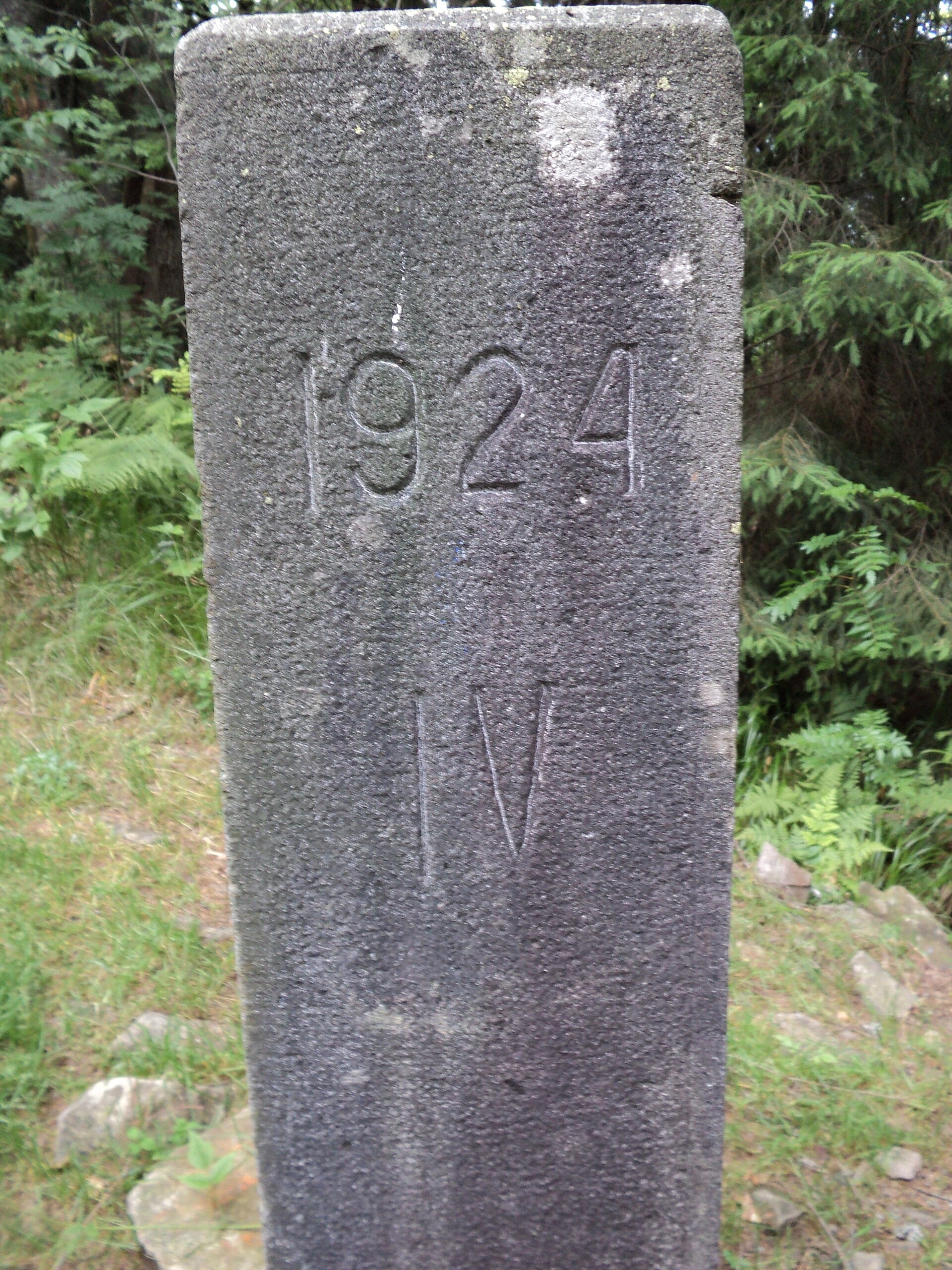
- On the top, 50–70 m from the main path, stands post No. 1 of the former Czechoslovak–Polish border; unlike many other border posts, it is well preserved.
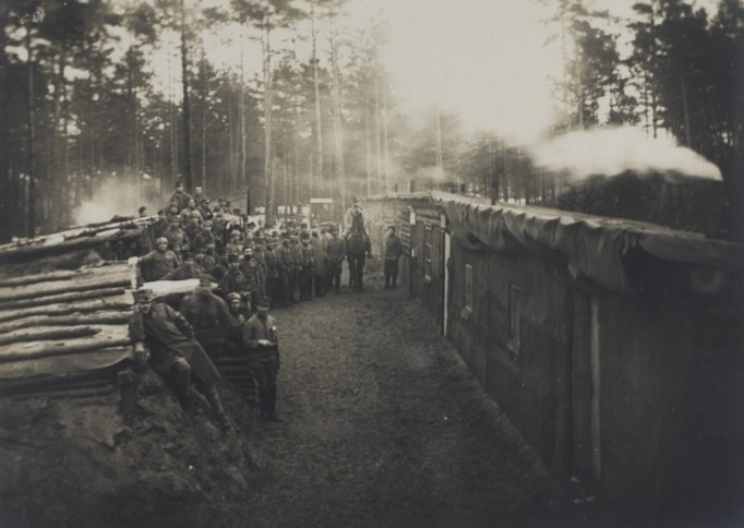
- The name «Pantyr» probably comes from the word «panzer» — after a concrete bunker built by Austrian troops to defend the summit during the First World War.
- In 1935 a tourist shelter with 22 beds was built here; today only its foundation remains.
- The Turbatsyl stream rises on the south-western slopes of the mountain.
Photos: EugeneB, CC BY-SA 3.0; Олександр Лупул, CC BY 3.0; DmitrOst, CC BY-SA 3.0; Adam Dulęba (1895-1944), Public domain — Wikimedia Commons.
Location on the map
Comments
Places to stay nearby
 Homestead"U Davidka i Matviika"17 km from Mount PantyrFireplaceKitchenParkingNearby: Mt Petros Gorgansky 4.6 kmMt Studenets 3.8 km2 trails
 HomesteadHomestead "Albertville" Osmoloda17 km from Mount PantyrFireplaceKitchenParkingNearby: Mt Petros Gorgansky 4.8 kmMt Studenets 4.0 km2 trails
 HomesteadHomestead "Faini Karpaty" Osmoloda17 km from Mount PantyrSaunaBBQKitchenNearby: Mt Petros Gorgansky 4.6 kmMt Studenets 3.8 km2 trails
Trails nearby
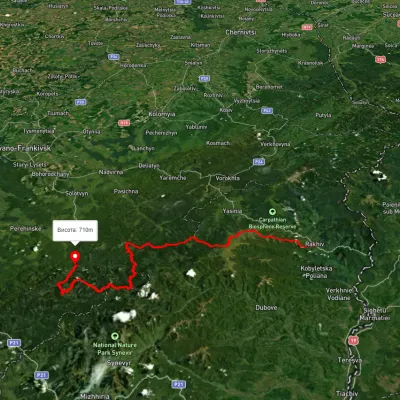 HardMulti-dayUnmarkedRakhiv to Osmoloda villagevia Mount Blyznytsia, Mount Troiaska +1Elevation profile437–1 858 m134.1 kmascent 7 086 munder 1 km from Mount Pantyr
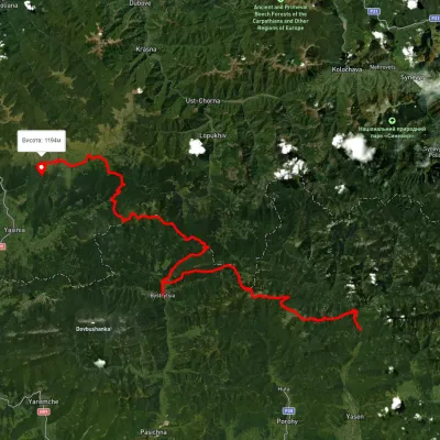
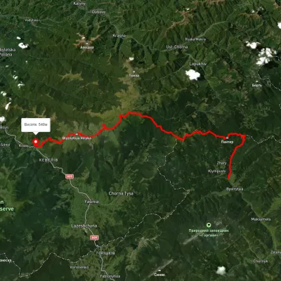 HardMulti-dayUnmarkedBystrytsia village to Kvasy villagevia Mount Durnia, Mount Bratkivska +2Elevation profile541–1 875 m64.5 kmascent 3 188 munder 1 km from Mount Pantyr
 HardMulti-dayUnmarkedOsmoloda village to Dragobratvia Mount Ihrovets, Mount Syvulia +4Elevation profile687–1 824 m116.7 kmascent 4 557 munder 1 km from Mount Pantyr
Nearby attractions
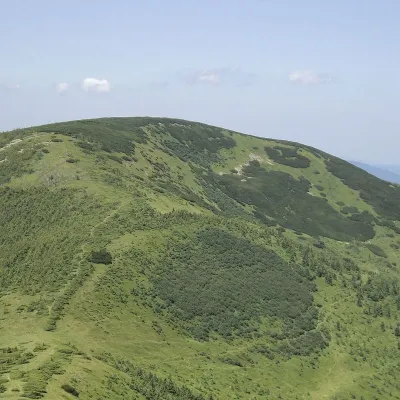 PeakMount Durniaaltitude 1 704 m · Gorgany range5.3 km from Mount Pantyr7 trails to the topMount Durnia is a 1704-meter (according to other sources, 1709-meter) peak of the Ukrainian Carpathians of the Horhan mountain range, located on the Bratkivsky ridge.
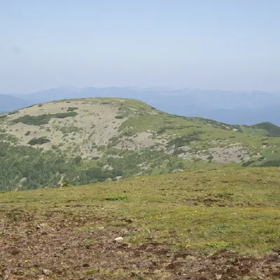 PeakMount Hropaaltitude 1 759 m · Gorgany range6.9 km from Mount Pantyr10 trails to the topMount Gropa (height - 1759 m (according to other sources - 1763 m)) is a peak in the Ukrainian Carpathians, located on the Bratkivsky ridge of the Horhan mountain range.