Mount Tovsta
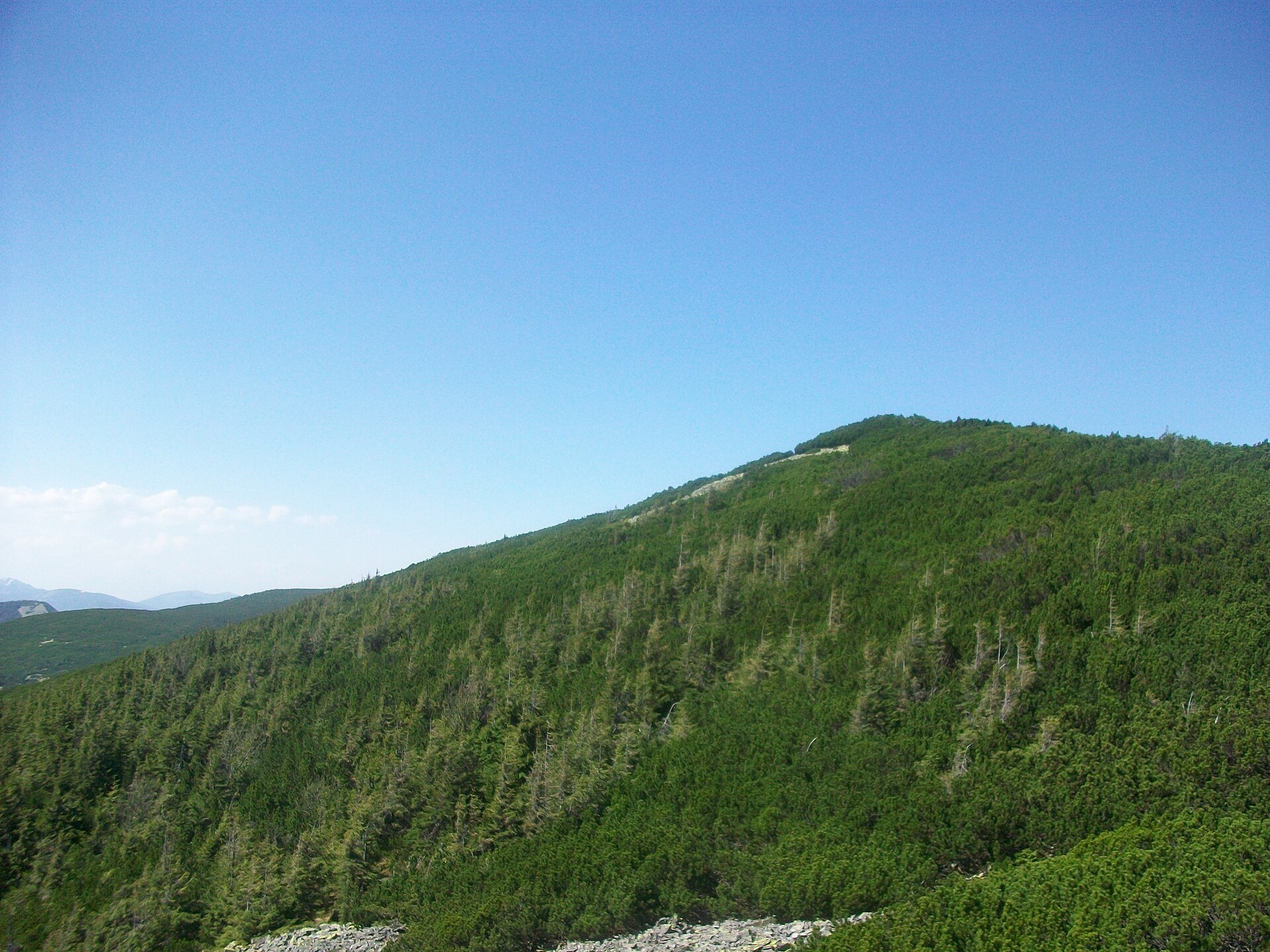
Tovsta is a mountain in the Gorgany massif. It lies in the Nadvirna district of Ivano-Frankivsk Oblast, north-east of the Dovbushanka ridge. It is 1399 m high (sources give 1398–1407 m). The nearest settlements are Zelena and Chernyk.
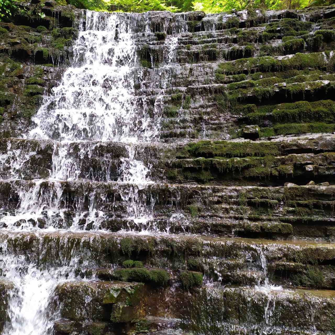
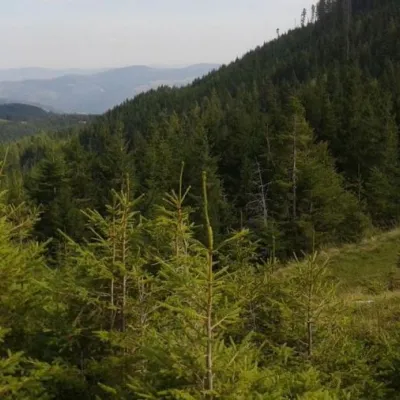
The foot and slopes of the mountain are forested; only the summit is bare. In places there are scree fields typical of the Gorgany. The name of the range probably comes from the Romanian word “gorgan” — a mound, a pyramid-shaped hill; its peaks are mostly of moderate height (1400–1500 m) but with steep relief. A narrow, fairly short ridge with several minor tops runs north-west from the summit. On the northern slope rises the Kudrynets stream, a tributary of the Sytnyi, with the picturesque Kudrynets waterfall.
How to get there
Our site has no marked route to Tovsta yet. Approaches lead from the valley of the Bystrytsia Nadvirnianska — from the villages of Zelena and Chernyk — along forest roads and paths. Plan the route in advance on a topographic map, load the track into an offline navigation app and allow extra time: Gorgany paths over boulders are slow going. The ascent can be combined with a visit to the Kudrynets waterfall on the northern slope.
Water, shelter and safety
Our map shows huts nearby: on the Zakedra meadow about 1 km from the summit and in the Bukovets tract about 2.3 km away. Water is easiest to get from streams on the slopes, but carrying a supply is a must. Scree is slippery after rain, and in fog it is easy to lose the path among the boulders — stick to your track. The best season is from May to October. In an emergency call 112 or 101; contacts of the nearest units are on the mountain rescue page.
Photos: Volodymyr Tomyn, CC BY-SA 4.0; MSha, CC BY-SA 4.0 — Wikimedia Commons.
Location on the map
Comments
Places to stay nearby
 HotelGuest House "Beskyid"8.3 km from Mount TovstaKitchenWi‑FiPetsNearby: Probiy waterfall 1.7 kmDovbush trail in Yaremche 2.9 km33 trails
 HotelGuest House "U Almy"9.3 km from Mount TovstaKitchenTransferNearby: Probiy waterfall 1.2 kmDovbush trail in Yaremche 1.9 km31 trails
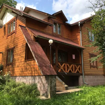 CottageCottage "V Sadu"9.8 km from Mount TovstaThe access to the cottage is via an asphalt road. Two-story cottage for 8-9 guests.Nearby: Probiy waterfall 1.8 kmDovbush trail in Yaremche 1.7 km31 trails
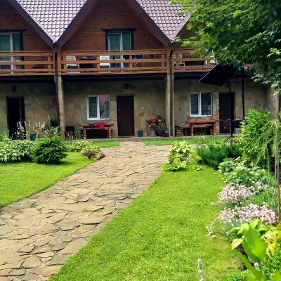 CottageCottages of Kiprey in Yaremche10 km from Mount TovstaPoolBBQKitchenNearby: Probiy waterfall 1.4 kmDovbush trail in Yaremche 900 m31 trails
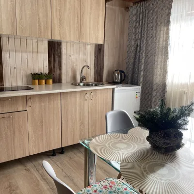 Cottage"Shchivky"11 km from Mount TovstaLiving room (fold-out sofa, table with chairs, TV, balcony; kitchenette — electric kettle, sink); double room (double bed, wardrobe, TV, balcony);Nearby: Mt Sinyak 4.7 kmPerevernuty Khata 2.5 km18 trails
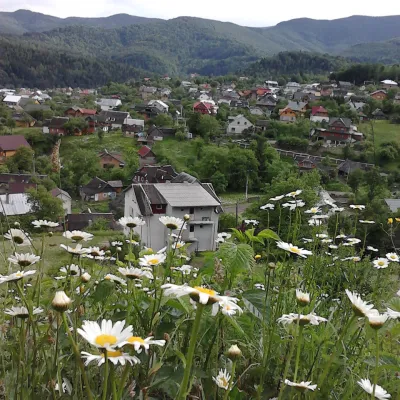 HomesteadHomestead "Hutsulochka"13 km from Mount TovstaPoolNearby: Peter and Paul Church 100 mWhite Stone Rock 1.9 km15 trails
Trails nearby
 HardMulti-dayUnmarkedYaremche to Polianytsia (Bukovel) villagevia Mount YavirnykElevation profile553–1 464 m36.1 kmascent 1 708 m≈ 12.5 h walking2.1 km from Mount Tovsta
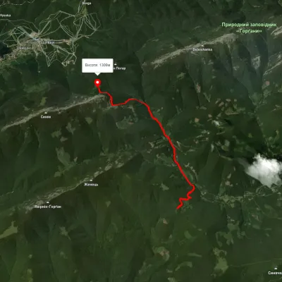 ModerateOne-dayMarkedBlazhiv polonyna Pereslop PassElevation profile847–1 370 m9.3 kmascent 998 m≈ 4.5 h walking2.3 km from Mount Tovsta
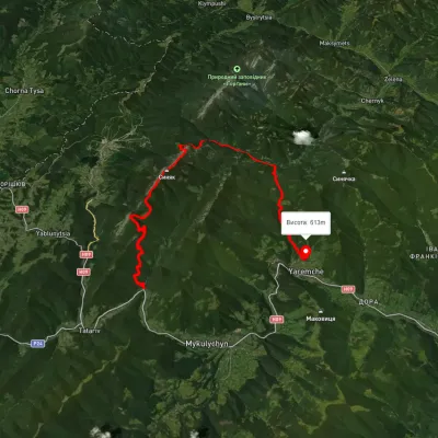 HardMulti-dayUnmarkedZhenets tract to Yaremchevia Mount Khomiak, Mount Syniak +1Elevation profile615–1 658 m31.3 kmascent 1 530 m≈ 11 h walking2.3 km from Mount Tovsta
Nearby attractions
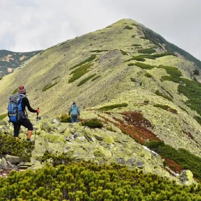 PeakDovbushanka Mountainaltitude 1 754 m · Gorgany range4.2 km from Mount Tovsta16 trails to the topMount Dovbushanka is a 1,754-meter peak of the Ukrainian Carpathians, located in the Gorgan mountain range on the ridge of the same name.
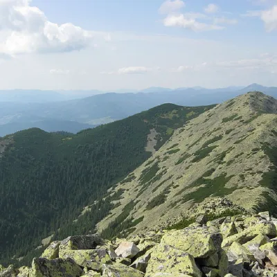 PeakMount Vedmezhikaltitude 1 737 m · Gorgany range4.7 km from Mount Tovsta10 trails to the topMount Vedmezhyk is a massive 1,737-meter peak of the Ukrainian Carpathians, located on the Dovbushansky ridge of the Horhan mountain range.
 Mountain meadowPolonyna Lazokaltitude 1 260 m5.2 km from Mount TovstaThe Lazok meadow near the city of Yaremche is quite popular among tourists. Many hiking trails start from here, and you can also spend the night here if the hike is...