Mount Temnatyk
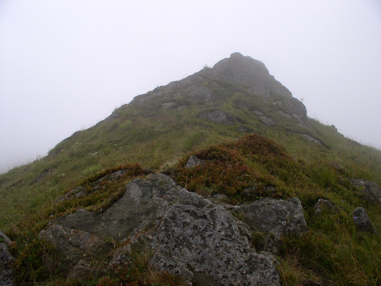
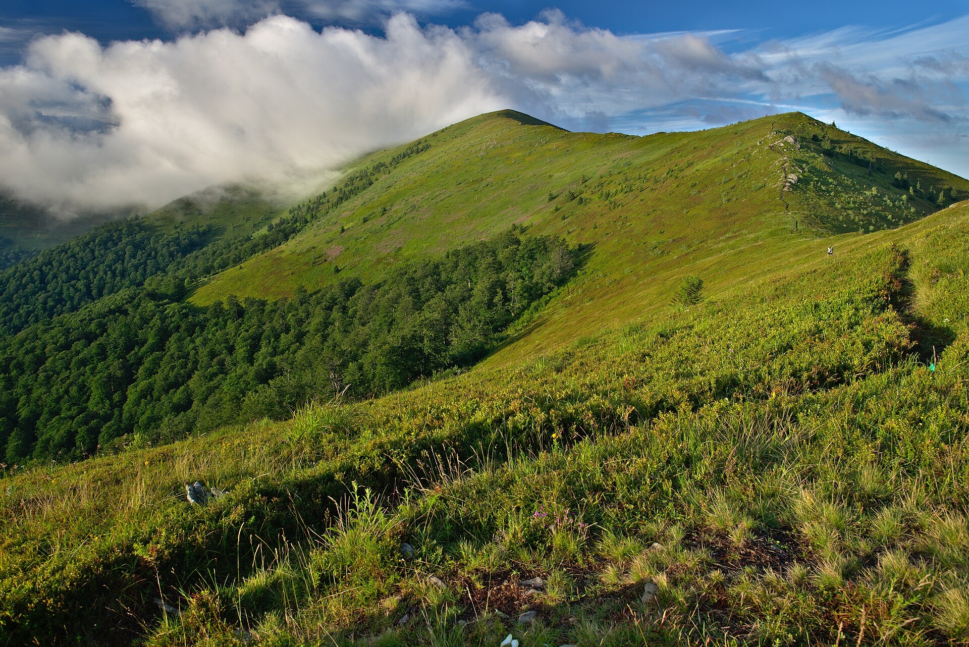
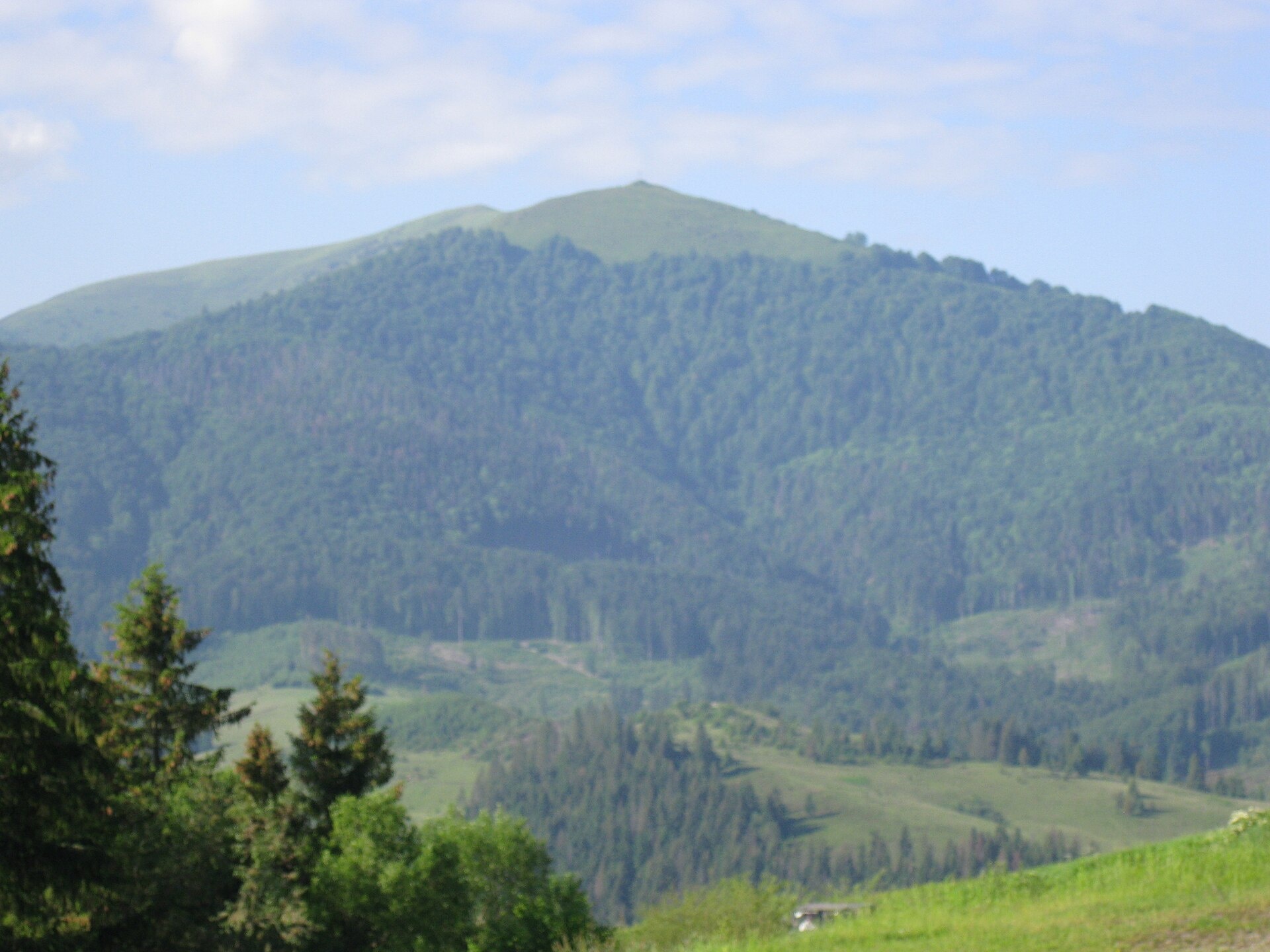
Temnatyk (also Tomnatyk) is a peak on the far north-western spur of the Polonyna Borzhava massif in Zakarpattia Oblast. It is 1343 m high. It is the Borzhava peak closest to Volovets, so hikes along the whole ridge often start here.
The mountain is dome-shaped. Its slopes are steep and covered with beech forest mixed with fir; above 1200–1250 m meadows prevail. To the south-east a treeless ridge links Temnatyk with Velykyi Verkh (1598 m), from where you can continue to Stii (1681 m), the highest peak of the massif. A large cross stands on one of its tops (Voskresenskyi Verkh, or Tsytska, 1219 m), which makes Temnatyk easy to recognise from Volovets.
How to get there
All routes start in Volovets, which you can reach by train. The route Volovets – Temnatyk – Plai – Velykyi Verkh – Hemba – Zhyd-Mahura (20.2 km) crosses the summit. The loop Volovets – Velykyi Verkh – Volovets (22 km) also passes Temnatyk. For a longer Borzhava traverse take Volovets – Plai – Velykyi Verkh – Stii – Hemba – Shypit waterfall (25.1 km). The Transcarpathian Tourist Trail runs over the summit too.
Water, shelter and safety
About 500 m from the summit there is a hut on the Temnatyk meadow, and our map shows a spring 1.8 km away. The treeless Borzhava ridge has hardly any shade or water, so carry enough. The crest is exposed to every wind: in a thunderstorm leave the ridge, in fog follow the waymarks. The best season is from May to October; in winter the slopes can be prone to avalanches. In an emergency call 112 or 101; contacts are on the mountain rescue page.
Interesting facts
- In the winter of 1914–1915 a battalion of the Ukrainian Sich Riflemen under Colonel Hryts Kossak held a defensive line on Temnatyk; overgrown trenches still recall the fighting.
- A street in Volovets is named after one of the fallen riflemen, Lev Koberskyi.
- On clear days the domes of the Mukachevo monastery can be seen from the summit.
Photos: Alex Zelenko, CC BY-SA 4.0; Jiří Komárek, CC BY-SA 4.0; ValeriySh, CC BY-SA 4.0 — Wikimedia Commons.
Location on the map
Comments
Places to stay nearby
 HomesteadHomestead "Dva Braty" Podobovets (sauna, tub)8.4 km from Mount TemnatykHot tubSaunaBBQNearby: Shypit Waterfall 2.0 kmMt Gemba 4.5 km16 trails
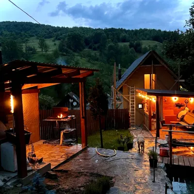 HomesteadPrivate Homestead "Forest House"14 km from Mount TemnatykThe house is designed for 6 people. Additional places are available.Nearby: St. Michael's Church 7.9 km10 trails
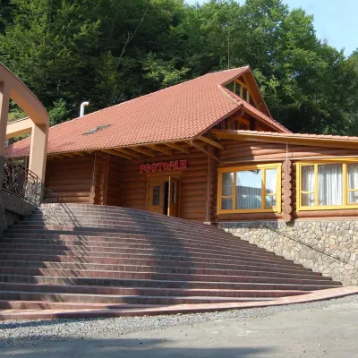 HotelHotel "Zatyshok" Nelypino17 km from Mount TemnatykSaunaParkingWi‑FiNearby: St. Michael's Church 3.7 km2 trails
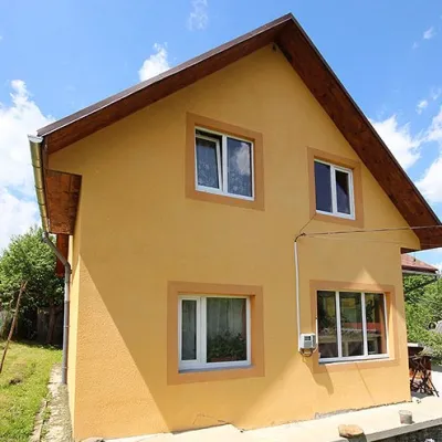 HomesteadHomestead "U Vasilya" Volovec3.5 km from Mount TemnatykSaunaFireplaceKitchenNearby: Holy Ascension Church 900 mMt Veliky Verkh 6.9 km26 trails
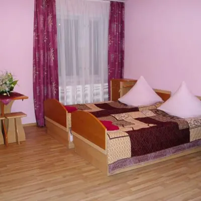 HomesteadHomestead "Zatyshok u Yolani" Mykulychyn3.8 km from Mount TemnatykSaunaBBQKitchenNearby: Holy Ascension Church 400 mMt Veliky Verkh 7.5 km26 trails
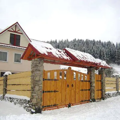 HomesteadHomestead "Pid Horoyu" Mykulychyn4 km from Mount TemnatykPoolSaunaBBQNearby: Holy Ascension Church 300 mMt Veliky Verkh 7.7 km25 trails
Trails nearby
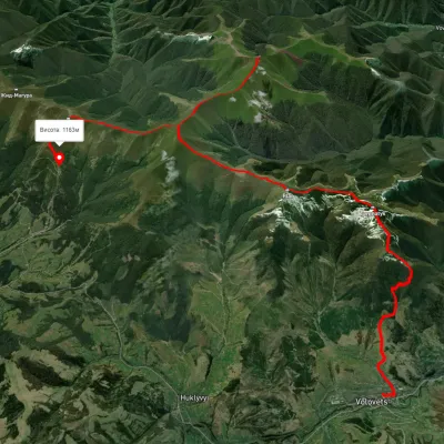 HardMulti-dayUnmarkedVolovets to Shypit Waterfallvia Mount Plai, Mount Velykyi Verkh +2Elevation profile488–1 659 m25.1 kmascent 1 886 m≈ 10 h walkingunder 1 km from Mount Temnatyk
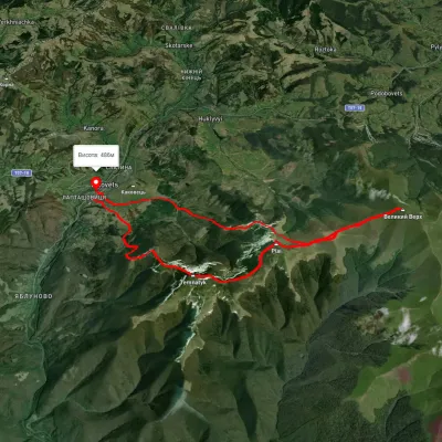 HardTwo-dayUnmarkedVolovets loopvia Mount Velykyi VerkhElevation profile486–1 591 m22 kmascent 1 362 m≈ 8 h walkingunder 1 km from Mount Temnatyk
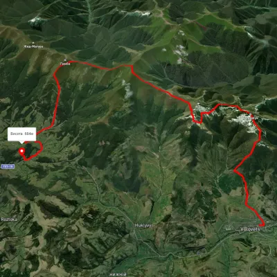 HardMulti-dayUnmarkedVolovets to Podobovets villagevia Mount Plai, Mount Velykyi Verkh +1Elevation profile491–1 587 m25 kmascent 1 516 m≈ 9.5 h walkingunder 1 km from Mount Temnatyk
Nearby attractions
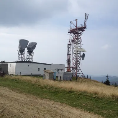 PeakMount Plaialtitude 1 323 m · Borzhava range2.2 km from Mount TemnatykPlai is a 1,323 m mountain in the Polonyna Borzhava massif (Polonynskyi Ridge), in the Mukachevo district of Zakarpattia Oblast.
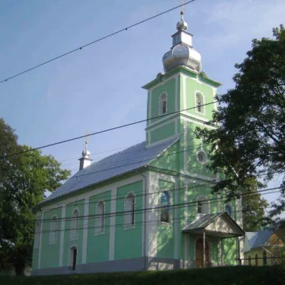 ChurchHoly Ascension Church, Volovets4.2 km from Mount TemnatykThe Holy Ascension Church of Volovets, which is currently the property of the Orthodox community belonging to the Moscow Patriarchate, was built in 1888-1895.
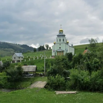 ChurchChurch of the Descent of the Holy Spirit (new), Huklyvyi4.6 km from Mount TemnatykChurch of the Descent of the Holy Spirit, founded in 1932 (UOC). It is said that the Orthodox community in Huklyve was organized by a Russian emigrant, priest Pastukhov.