Mount Koman

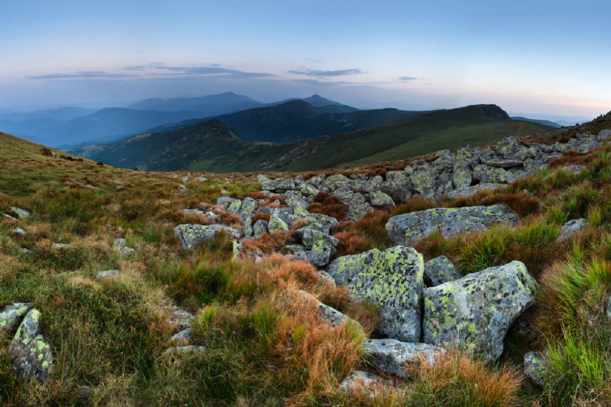
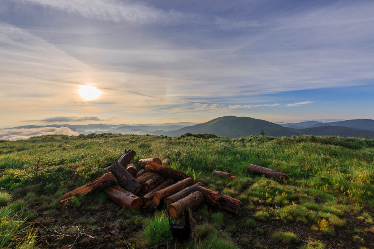
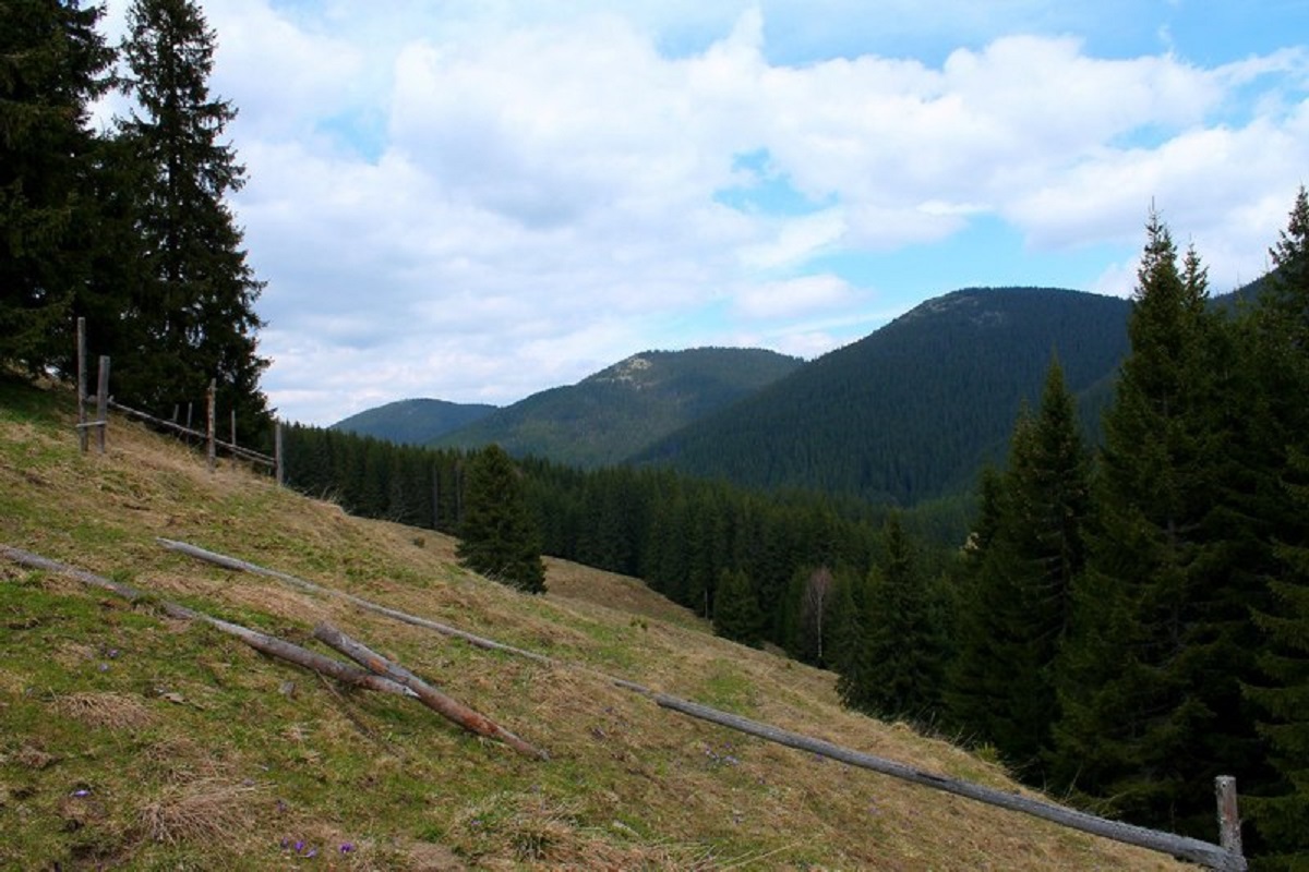
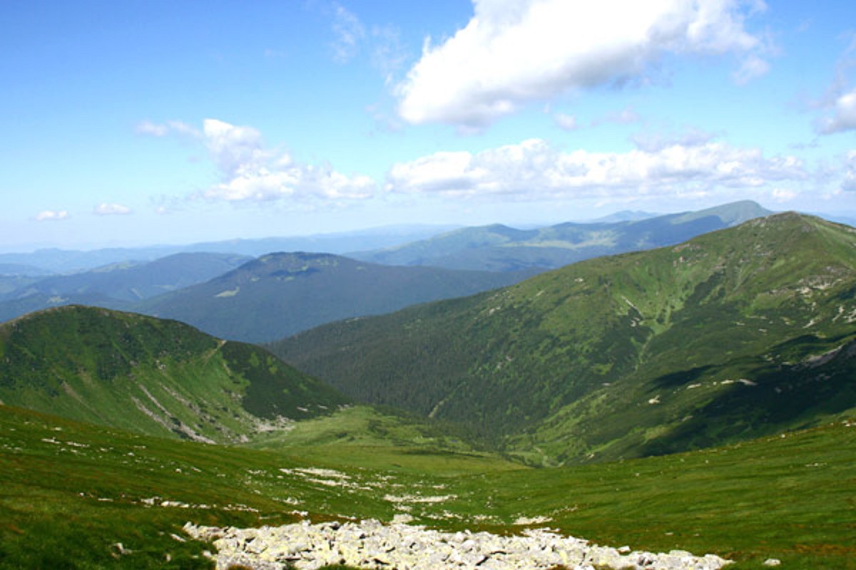
Mount Koman (also called Komen and Komyn) is a peak in the Chyvchyny Mountains (part of the Marmarosh mountain range in the Ukrainian Carpathians). It is located within the Verkhovyna district (in its southern part) of Ivano-Frankivsk region, in the southeastern direction from the village of Burkut.
The height of Mount Koman is 1723 meters (according to other information - 1721 m). The top has an oval shape, all slopes are very steep, especially in the southern and western directions. The peak itself and its summit part are unforested, covered with grasses and shrubs.
To the southeast of Mount Koman is Mount Komanova, and to the northeast is Mount Pryluchna.
The state border between Romania and Ukraine passes through the very top.
The nearest settlement is the village of Burkut in the Verkhovyna district of Ivano-Frankivsk region.
Comments
Travellers’ experience: reports, tips, questions.
No one has reported on this trail yet. Been here lately? Tell others what it is like now.
Location on the map
Water and shelter nearby
- Mountain shelter on Polonyna Baltahul1.8 km · Not verified · 1 511 m
Wildlife nearby
AllTrails nearby
All trails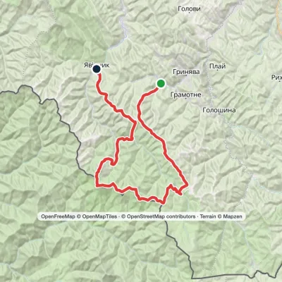 HardMulti-dayProbiinivka village to Shybene villagevia Mount Tarnytsia, Mount Pnivie +1Elevation profile797–1 766 m68.4 kmascent 2 793 m4.5 km from Mount Koman
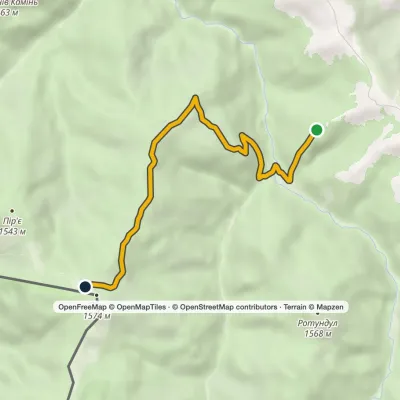 EasyOne-dayMarkedPirye Paukivkavia CheremoshElevation profile1 232–1 575 m6.3 kmascent 345 m≈ 2 h walking4.7 km from Mount Koman
 HardMulti-dayMarkedShepit village to Shybene villagevia Mount Yarovytsia, Mount Pnivie +1Elevation profile849–1 599 m73.4 kmascent 2 319 m5.1 km from Mount Koman
Nearby attractions
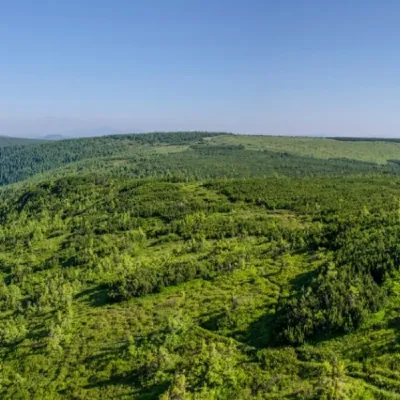 PeakMount KomanovaNyzhnyi Yalovetsaltitude 1 734 m · Chyvchyny range2.2 km from Mount KomanKomanova is a peak in the Ukrainian Carpathians, which is located on the territory of the Chyvchyn Mountains of the Marmarosh mountain range.
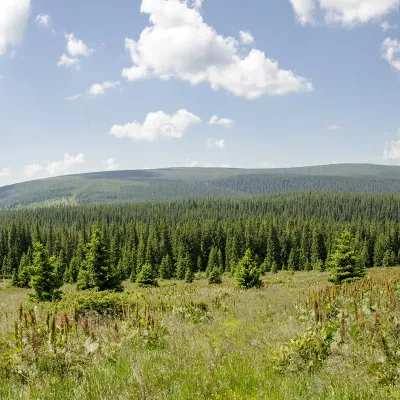 PeakMount PurulKhutir Burkutaltitude 1 616 m · Marmarosh range3.1 km from Mount KomanPurul (translated from Romanian as "pure") is a 1616-meter peak in the Ukrainian Carpathians, which is located in the Marmarosh mountain range within the Chivchyn...
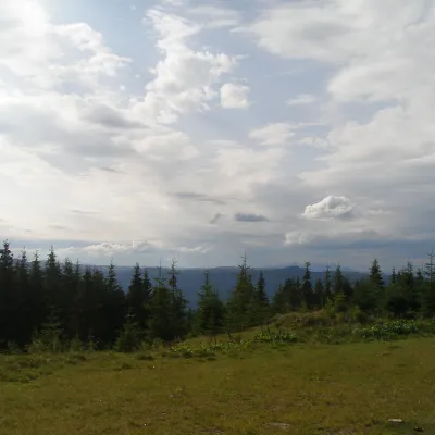 NatureBlack Dil Nature Reserve SarataSarata9.3 km from Mount KomanChornyi Dil is a landscape reserve of national importance in Ukraine. It is located west of the village of Sarata, Putyla district, Chernivtsi region, in the...
Craft nearby
All craft places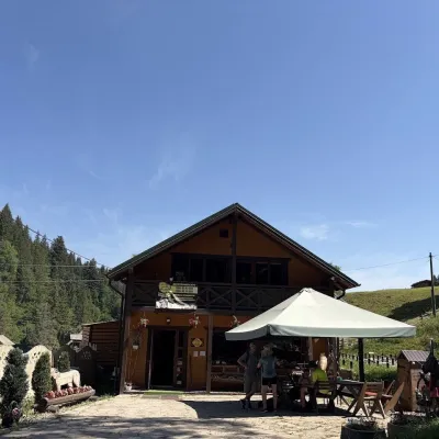 Craft shopsKopalnia Bryndzy cheese shop and tasting, VerkhovynaVerkhovyna40 km from Mount KomanKopalnia Bryndzy (“The Brynza Mine”) is a small farm cheese shop with a tasting room on the edge of Verkhovyna, in the valley of the Zhabievskyi stream.
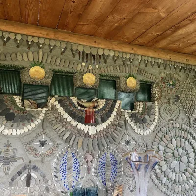 Ethno parks & homesteadsArt Ethno-Sadyba “Tsikava Sadyba”, VerkhovynaVerkhovyna41 km from Mount KomanTsikava Sadyba («The Curious Estate») is a private art homestead in the very centre of Verkhovyna that local housewife and artist Oksana Susiak has been shaping since...
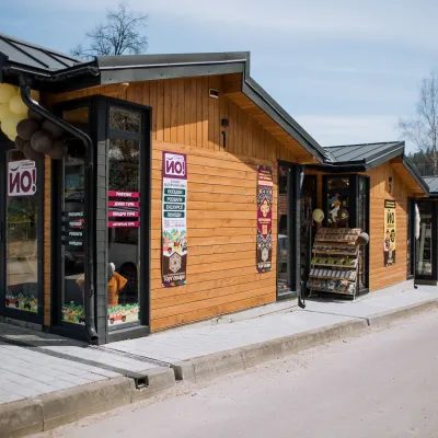 Markets & fairsTorhovyshche Souvenir Market, VerkhovynaVerkhovyna42 km from Mount KomanTorhovyshche is a modern souvenir market right in the centre of Verkhovyna, the capital of the mountain Hutsul region.
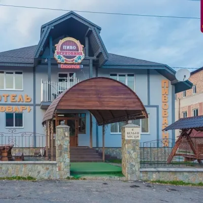 Craft beer & breweriesVerkhovyna Brewery at the Pyvovar Motel, VerkhovynaVerkhovyna42 km from Mount KomanVerkhovyna Brewery operates at the Pyvovar motel on the approach to Verkhovyna, the Hutsul capital of the Carpathians.
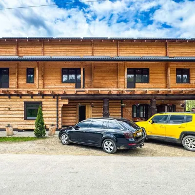 Koliby & Hutsul cuisineZRUB Ethno Restaurant, IltsiIltsi43 km from Mount KomanZRUB Ethno Restaurant is a new log-built home of Hutsul cooking in the village of Iltsi, on the edge of Verkhovyna, the town often called the Hutsul capital.
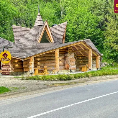 Koliby & Hutsul cuisineBabyna Koliba, KryvorivniaKryvorivnia43 km from Mount KomanBabyna Kolyba («Granny's Koliba») serves authentic Hutsul food in Kryvorivnia, a village sometimes called the «Ukrainian Athens»: Ivan Franko, Mykhailo Kotsiubynskyi...
