Hajnáčka – Pod Zabodou
Trail map
Route, springs and shelters: © OpenStreetMap contributors (ODbL) · elevation: Copernicus DEM © DLR e.V., © Airbus DS · Data & licences
About the trail
Route Hajnáčka – Pod Zabodou. Has yellow marking (regional route №8492, KST). Waymarking data: OpenStreetMap (© OpenStreetMap contributors, ODbL).
Officially marked regional tourist route No. 8492. The marking is yellow, the sign is a horizontal stripe on a white background. Marked and maintained by: KST. Length of the route — 4.3 km. Location: mountain massif — Bьorzhon and Cherkhat, Slovakia.
At a glance
A short route of 4.3 km with 172 m of ascent from Hajnáčka to Pod Zabodou. Estimated walking time: about 1.5 h, not counting stops. Difficulty: easy. Waymarking: yellow.
How we estimate walking time
By Naismith's rule, used by mountain clubs and guidebooks: an average hiker walks 4 km an hour on the flat and needs one more hour for every 600 m of ascent. For this trail: 4.3 km ÷ 4 = 1.1 h + 172 m ÷ 600 = 0.3 h, about 1.5 h of walking in total.
- Breaks, snacks and photos: add 20–30 %.
- A heavy pack, children, snow, a wet path or windfall add more; a long steep descent also takes time, especially for the knees.
- The height of the Carpathians (up to 2,655 m) hardly changes the pace — on the ridges wind, fog and weather slow you down.
- Limits: up to 9 h is one day; 9–13 h is a very long day or two; over 13 h means several days with overnight stays.
Route stages
- 0–1 kmClimb of 100 m (up to 449 m)
- 1–2.5 kmGentle ups and downs at 370–450 m
- 2.5–3 kmDescent of 130 m (down to 243 m)
- 3–4.5 kmGentle ups and downs at 220–260 m
Steepest kilometre: km 2.5–3.5, a descent of 150 m (≈15%).
Water and overnight stays
A spring near the trail: at km 3.5.
When to go
The route can be walked most of the year; it is most comfortable from April to October.
Getting there
Start: Hajnáčka. This is a one-way route: the finish is 3 km from the start in a straight line, so plan your way back in advance.
FAQ
- How long does the route take?
- Estimated walking time: about 1.5 h, not counting stops.
- Is there water on the route?
- A spring near the trail: at km 3.5.
Water and shelter on the route
- Drinking water below Hajnačkakm 3.7 from the start · Not verified · 256 m
Comments and trail condition
Travellers’ experience: reports, tips, questions.
No one has reported on this trail yet. Been here lately? Tell others what it is like now.
Wildlife along the route
All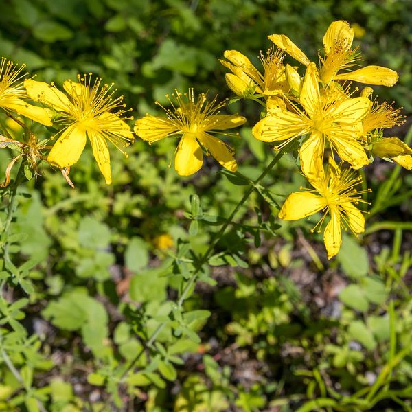
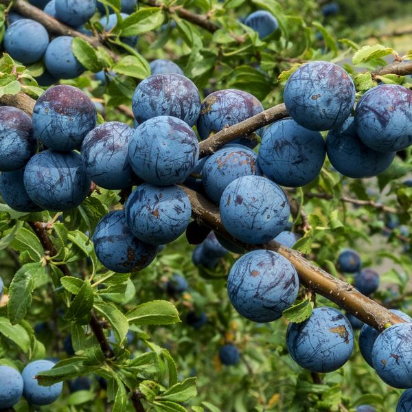
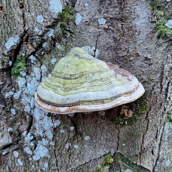
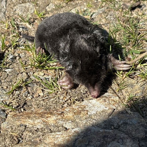
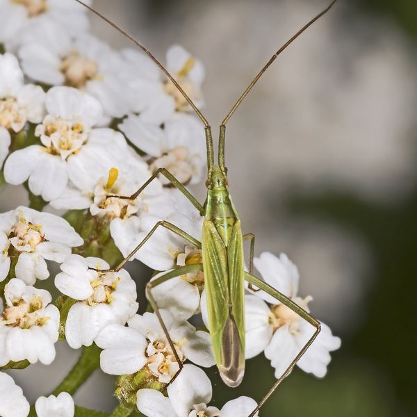
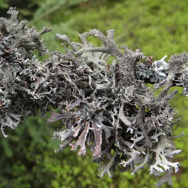
Based on naturalists’ records nearby (GBIF, iNaturalist), matched by altitude, habitat and season. Sightings are not guaranteed.
Trails nearby
All trails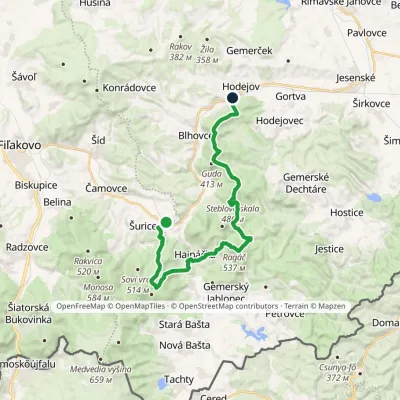 HardOne-dayMarkedHodejov, railway station Hajnáčka, railway stationElevation profile197–578 m23.7 kmascent 1 039 m≈ 7.5 h walking
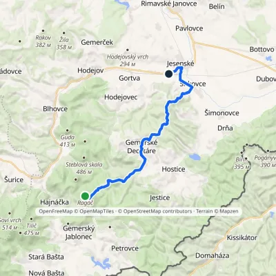 ModerateOne-dayMarkedJesenské, station RagáčElevation profile181–537 m17.4 kmascent 280 m≈ 5 h walking
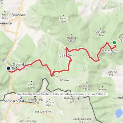 ModerateOne-dayMarkedŠiatorská Bukovinka Pohanský hradvia Mačacia, ObručnáElevation profile268–579 m14.8 kmascent 535 m≈ 4.5 h walking
Craft nearby
All craft places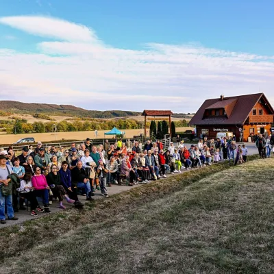 Cheese dairies & pasturesSalaš pod Maginhradom: Gemer sheep’s cheese and the Mitrovanie feastVeľké Teriakovce23 km from the trailAcross the road rises Maginhrad hill: in the 15th century a castle stood there that served as a Hussite fortress, and the Romantic poet Ján Botto dedicated a ballad to...
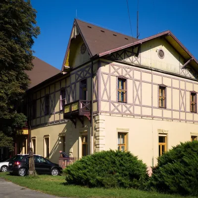 Water parks & thermal poolsČíž spa: iodine-bromine water, baths and summer poolsČíž24 km from the trailČíž is a spa with natural iodine-bromine water in southern Gemer, in a village in the Rimava basin not far from Rimavská Sobota, at about 170 m.
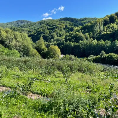 Eco farmsČučoriedková záhrada: pick-your-own blueberries and aronia juiceRatkovské Bystré46 km from the trailHere in 2010 the owners’ family planted the first Canadian blueberry bushes on a small plot — and gradually grew them into the Čučoriedková záhrada (Blueberry Garden).
