Karancs (Karanč)
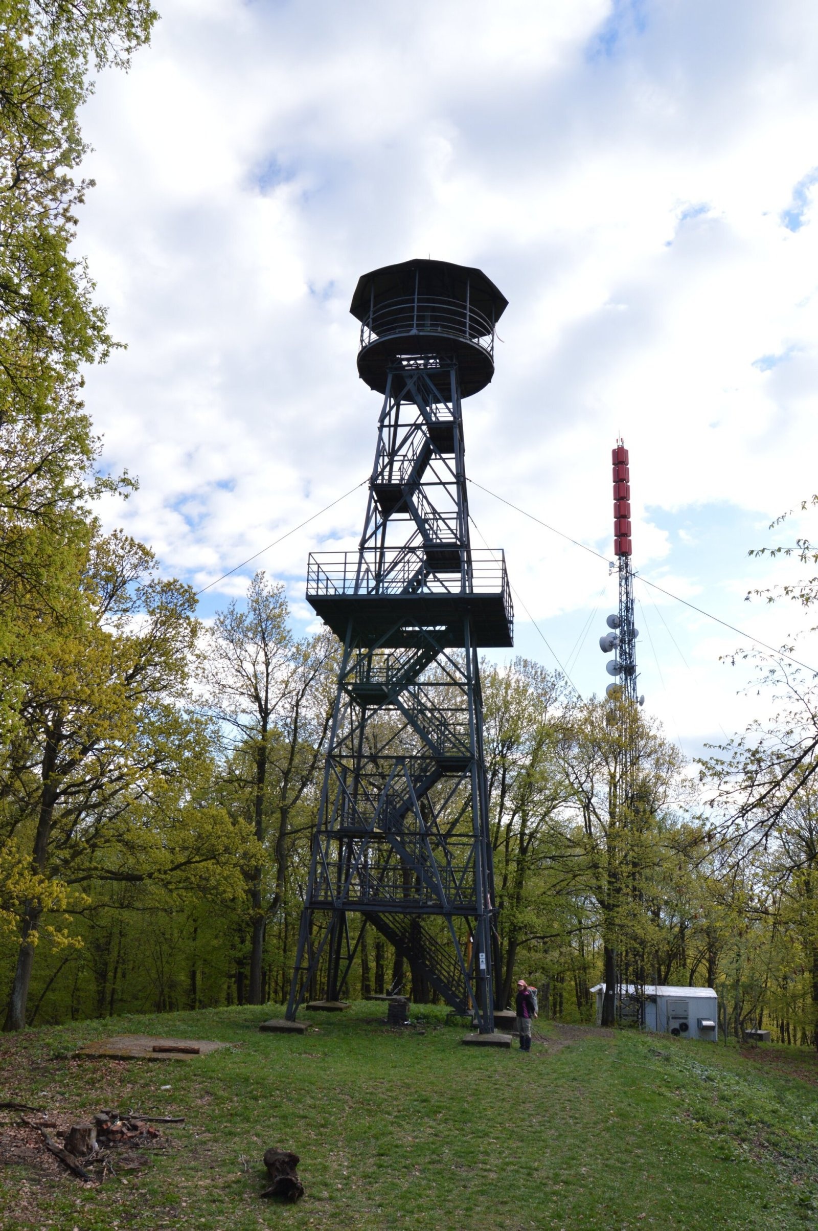
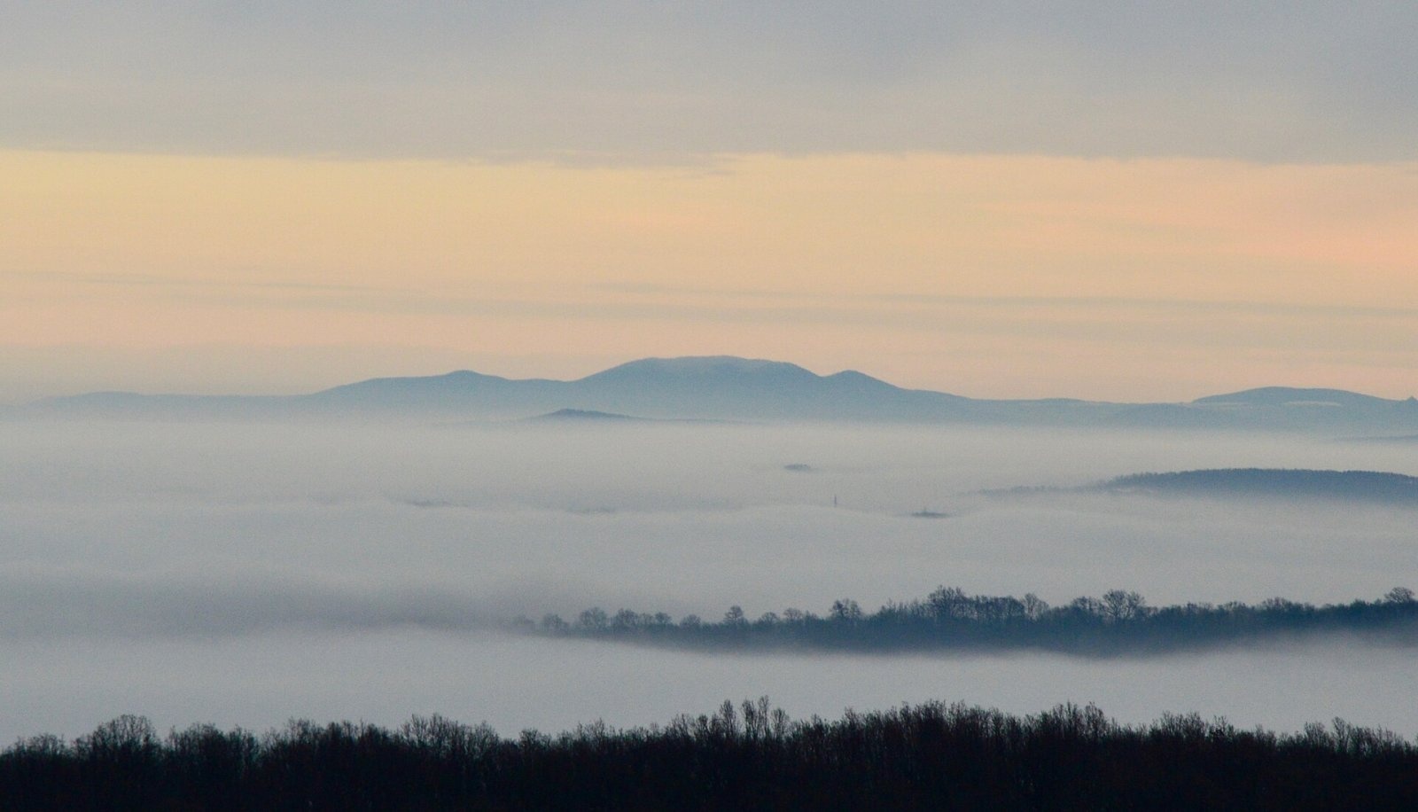
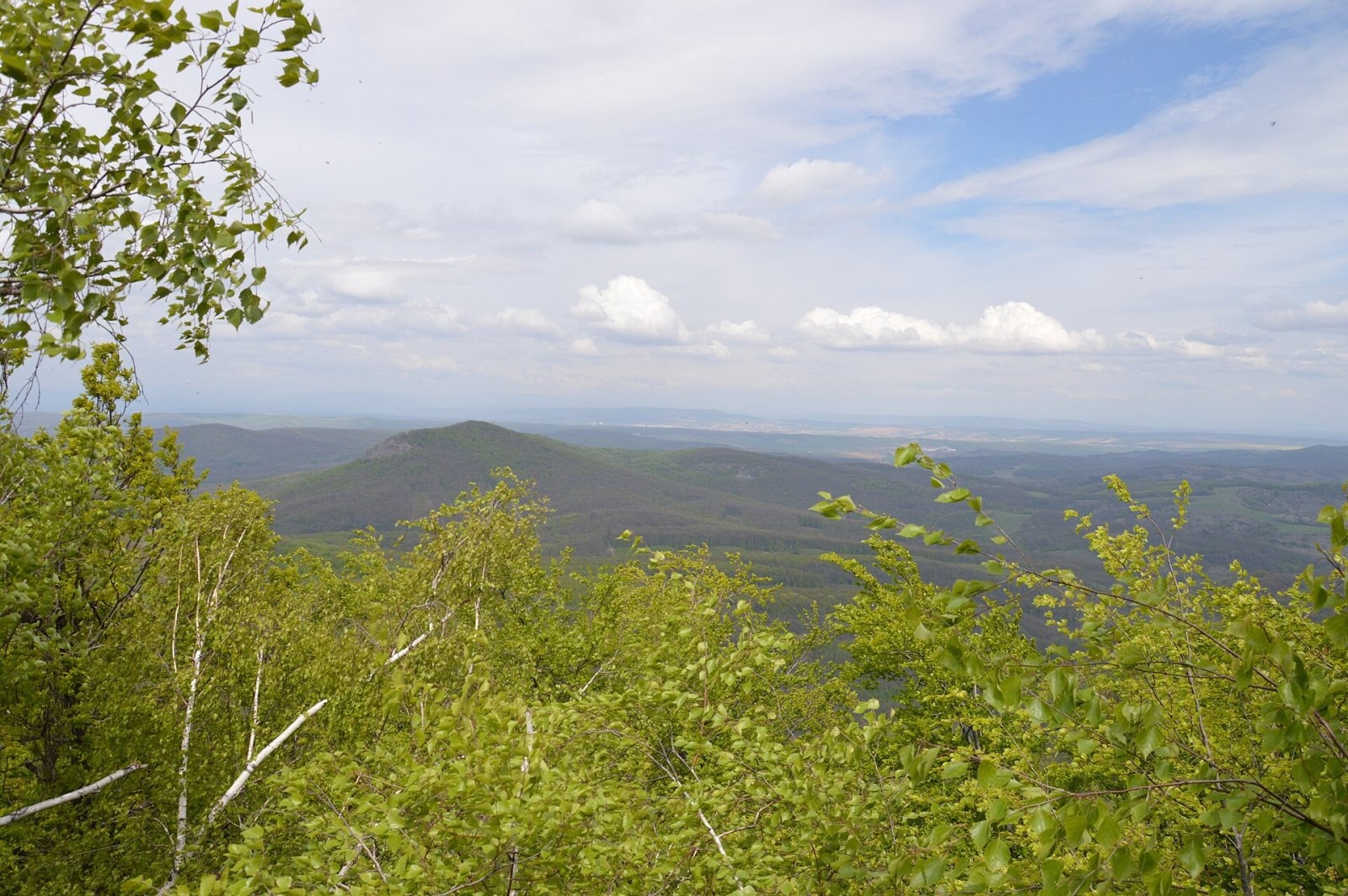
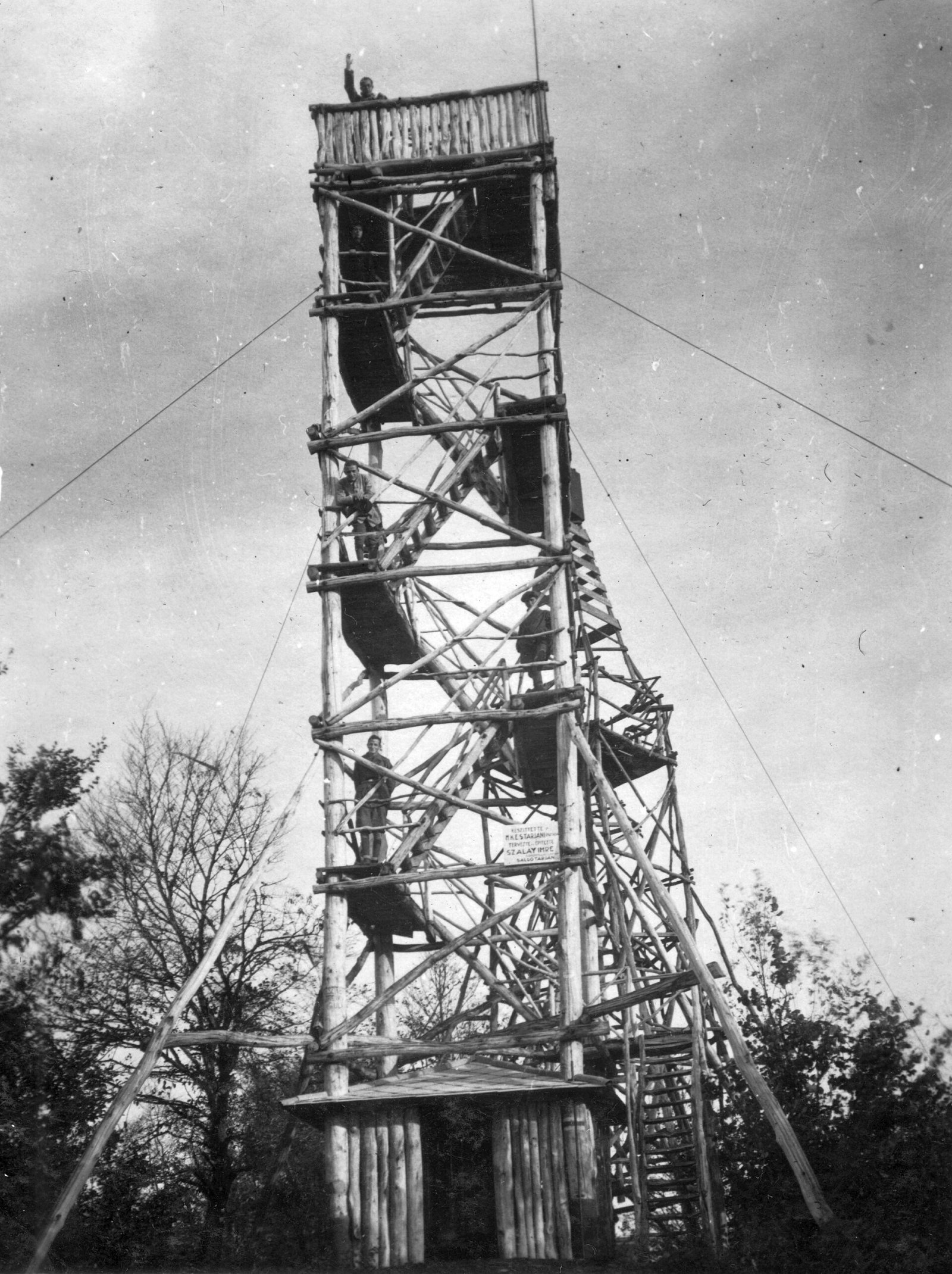
Karancs (Slovak: Karanč) is a 725.1 m dome on the Slovak–Hungarian border; Hungarian sources give 729 m. In the Slovak division it is the highest summit of the Cerová vrchovina (Hajnáčska vrchovina subunit); in the Hungarian one it is the highest point of the small Karancs Hills, sometimes jokingly called the "Olympus of the Palóc". The state border runs over the summit: the Slovak part belongs to the cadastre of Šiatorská Bukovinka in Lučenec District of the Banská Bystrica Region, the Hungarian part to the town of Salgótarján in Nógrád County. Its prominence reaches 445 m: from the centre of the Hungarian village of Karancslapujtő (about 200 m) to the summit is only 2–2.5 km.
Karancs stands out with its rounded shape among the lower basalt cones and ridges around it. Its slopes drain to the Ipeľ (Ipoly), and the Danube–Tisza watershed runs through the hills.
How to get there / routes
Marked trails lead to the summit from both countries:
- From Slovakia – the red trail from the Šiatorská Bukovinka railway stop or the yellow trail from the former Šiatorská Bukovinka border crossing.
- From Hungary – the red stripe (Hungarian section of the Mátra–Murány trail) from Somoskőújfalu railway station, the red triangle from Salgótarján starting by the lake next to road 21, or the green cross from Karancslapujtő.
The Hungarian "Northern Green" trail and the Slovak long-distance Via Slovakia also cross Karancs. Sources give no official walking times.
What you can see from the summit
The summit itself is covered by mixed forest, so there is no view without the tower. The 25.6 m steel lookout tower, however, rises above the treetops and gives an all-round panorama. You can see the neighbouring Medves hills and the Cerová vrchovina, and in good weather Kékes and Csóványos in Hungary, Sitno, Poľana and Kráľova hoľa in Slovakia, and at times even the Tatra peaks and the Danube Bend.
Nature and history
Karancs formed about 15 million years ago, in the middle Miocene, when andesite magma rose beneath the surface and solidified as a laccolith, which was later partly eroded. The andesite contains reddish garnet crystals that grew deep in the magma chamber. The contact between andesite and the overlying sandstone is exposed in the quarry near Šiatorská Bukovinka. The name is linked to the Turkic "kara" – "black" – after the dark green, almost black look of the wooded slopes.
On the Slovak side the mountain belongs to the Cerová vrchovina Protected Landscape Area, on the Hungarian side to the Karancs–Medves Protected Landscape Area, and the wider area is part of the Novohrad–Nógrád Geopark. An earlier wooden tower was replaced by today's steel one in 1966; Slovak sources say it originally served border protection. The tower was renovated in 1991 and 2001–2002 and is open free of charge all year. Below the summit stands St Margaret's chapel, a well-known pilgrimage site. There is also a TV transmitter near the tower. Since 2014 brown bears have again been regularly present in these forests.
Safety, season and rules
Karancs can be visited all year, but the slopes are steep. There are several springs near the summit, including Margaret's spring, but it is better to carry drinking water. When walking the ridge, remember that the state border runs over the summit. In Slovakia help comes from the Mountain Rescue Service HZS: 18 300 (+421 18 300); 112 works in both countries.
Interesting facts
- The Karancs tower stands only a few metres from the Slovak–Hungarian border.
- The Danube–Tisza watershed runs through these hills.
Photos: Pavouk, CC BY-SA 3.0; VargaA, CC BY-SA 4.0; Pavouk, CC BY-SA 3.0; FOTO:Fortepan — ID 62220: Adományozó/Donor: A R. archive copy at the Wayback Machine, CC BY-SA 3.0 — Wikimedia Commons.
Getting there from Ukraine
Border crossings
- Uzhhorod – Vyšné Nemecké — road, 24/7
- Malyi Bereznyi – Ubľa — road, 24/7 For cars and buses; pedestrians not confirmed by the Ukrainian border service, lorries up to 3.5 t.
- Mali Selmentsi – Veľké Slemence (pedestrian) — pedestrian, 09:00–21:00 Kyiv time Pedestrians and cyclists only; inconvenient for the Tatras without onward transport.
- Chop – Čierna nad Tisou (rail) — rail, 24/7
By car
From Uzhhorod to Brezno ≈274 km, ≈3 h 50 min without queues: Uzhhorod – Vyšné Nemecké → I/19 to Košice → D1 via Prešov and Poprad to the exit near Liptovský Hrádok → I/18 and I/72 over the Čertovica Pass to Brezno. To Banská Bystrica ≈322 km, ≈4 h 30 min: D1 to Ružomberok, then I/59 via Donovaly. From Lviv: to Brezno via Uzhok and Ubľa ≈498 km (≈7 h 45 min) or through Poland ≈554 km (≈7 h 05 min); to Banská Bystrica through Poland (Kraków – Chyżne – Trstená – Dolný Kubín – Ružomberok) ≈535 km, ≈7 h 15 min. The D1 requires an e-vignette (eznamka.sk).
Checked 23.10.2026; border crossing hours and timetables change — check before you travel.
Location on the map
Water and shelter nearby
- Spring below Malý Karanč / Kis-Karancs380 m · Not verified · 627 m
Comments
Trails nearby
All trails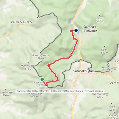 EasyOne-dayMarkedŠiatorská Bukovinka KarančElevation profile273–725 m7.1 kmascent 34 m≈ 2 h walkingunder 1 km from Karancs (Karanč)
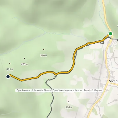 EasyOne-dayMarkedŠiatorská Bukovinka, state border MižeraElevation profile297–469 m2.3 kmascent 173 m≈ 60 min walkingunder 1 km from Karancs (Karanč)
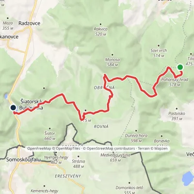 ModerateOne-dayMarkedŠiatorská Bukovinka Pohanský hradvia Mačacia, ObručnáElevation profile268–579 m14.8 kmascent 237 m≈ 4 h walking3.5 km from Karancs (Karanč)
Nearby attractions
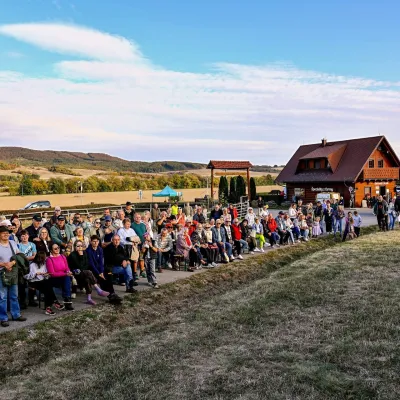 Cheese dairies & pasturesSalaš pod Maginhradom: Gemer sheep’s cheese and the Mitrovanie feastVeľké Teriakovce34 km from Karancs (Karanč)Across the road rises Maginhrad hill: in the 15th century a castle stood there that served as a Hussite fortress, and the Romantic poet Ján Botto dedicated a ballad to...
 Water parks & thermal poolsČíž spa: iodine-bromine water, baths and summer poolsČíž40 km from Karancs (Karanč)Číž is a spa with natural iodine-bromine water in southern Gemer, in a village in the Rimava basin not far from Rimavská Sobota, at about 170 m.
