Šiatorská Bukovinka — Pohanský hrad, via Mačacia, Obručná
Trail map
Route, springs and shelters: © OpenStreetMap contributors (ODbL) · elevation: Copernicus DEM © DLR e.V., © Airbus DS · Data & licences
About the trail
Route Šiatorská Bukovinka – Mačacia – Obručná – Pohanský hrad. Has red marking (national route №0813, KST). Waymarking data: OpenStreetMap (© OpenStreetMap contributors, ODbL).
Officially marked national tourist route No. 0813. Marking is red, sign — horizontal stripe on a white background. Marked and maintained by: KST. Length of the route — 14.8 km. Location: mountain range — B'iorzhon and Cherkhat, Slovakia.
At a glance
A one-day route of 14.8 km with 237 m of ascent and 536 m of descent from Pohanský hrad to Šiatorská Bukovinka. Estimated walking time: about 4 h, not counting stops. Difficulty: moderate. Waymarking: red.
Route stages
- 0–5 kmGentle ups and downs at 430–580 m, past Pohanský hrad, Malý Garád
- 5–6 kmDescent of 140 m (down to 288 m)
- 6–9 kmClimb of 220 m (up to 509 m)
- 9–15 kmDescent of 230 m to Šiatorská Bukovinka
Steepest kilometre: km 5–6, a descent of 130 m (≈13%).
Water and overnight stays
A spring near the trail: at km 9. There are no springs between km 0 and 9 — carry at least 1.5 l of water.
When to go
The route can be walked most of the year; it is most comfortable from April to October.
Getting there
Start: Pohanský hrad. This is a one-way route: the finish is 8 km from the start in a straight line, so plan your way back in advance.
FAQ
- How long does the route take?
- Estimated walking time: about 4 h, not counting stops.
- Is there water on the route?
- A spring near the trail: at km 9. There are no springs between km 0 and 9 — carry at least 1.5 l of water.
Water and shelter on the route
- Spring below Dunivá horakm 8.7 from the start · Not verified · 486 m
Comments
Trails nearby
All trails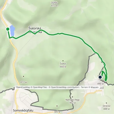 EasyOne-dayMarkedŠiatorská Bukovinka Ruins of Šomoška CastleElevation profile268–490 m5.1 kmascent 224 m≈ 1.5 h walking
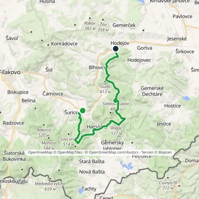 HardTwo-dayMarkedHodejov, railway station Hajnáčka, railway stationElevation profile197–578 m23.7 kmascent 1 039 m≈ 8 h walking
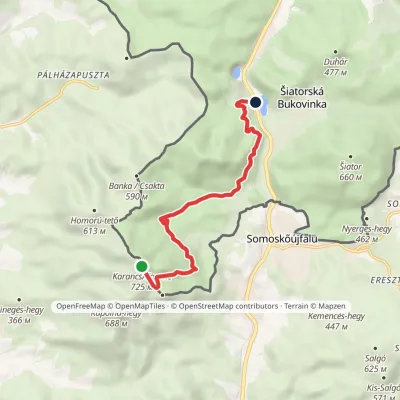 EasyOne-dayMarkedŠiatorská Bukovinka KarančElevation profile273–725 m7.1 kmascent 34 m≈ 2 h walking
Craft nearby
All craft places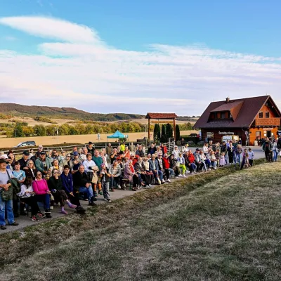 Cheese dairies & pasturesSalaš pod Maginhradom: Gemer sheep’s cheese and the Mitrovanie feast26 km from the trailAcross the road rises Maginhrad hill: in the 15th century a castle stood there that served as a Hussite fortress, and the Romantic poet Ján Botto dedicated a ballad to...
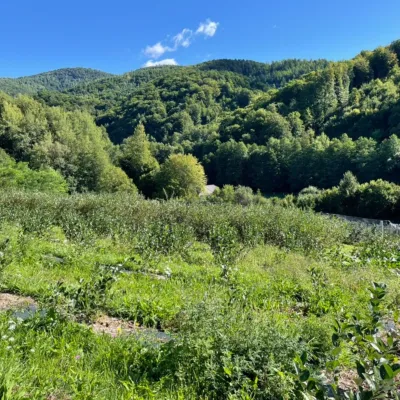 Eco farmsČučoriedková záhrada: pick-your-own blueberries and aronia juice50 km from the trailHere in 2010 the owners’ family planted the first Canadian blueberry bushes on a small plot — and gradually grew them into the Čučoriedková záhrada (Blueberry Garden).
