Tree moss
Never identify a mushroom from a photo alone. If in doubt, leave it. In case of poisoning call 112 (103 in Ukraine) at once.
About
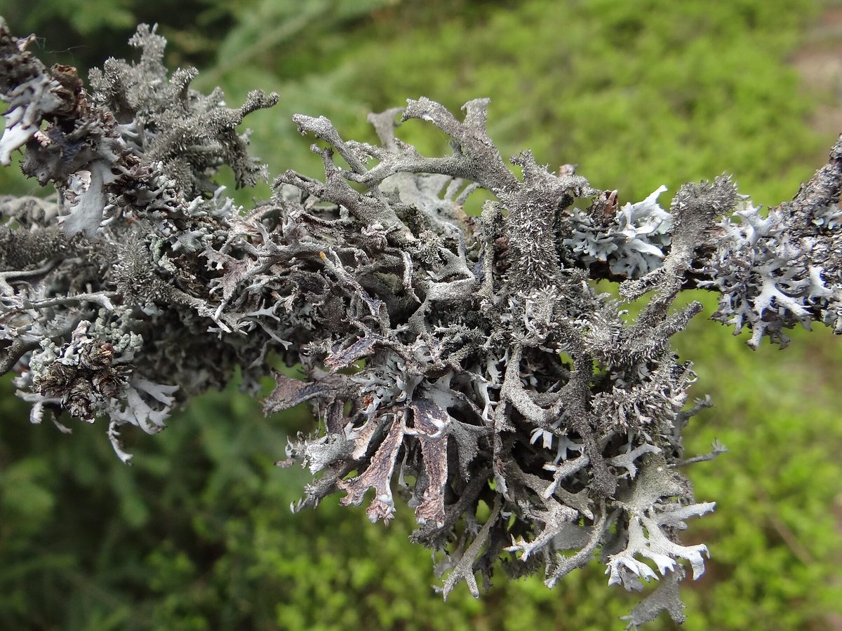
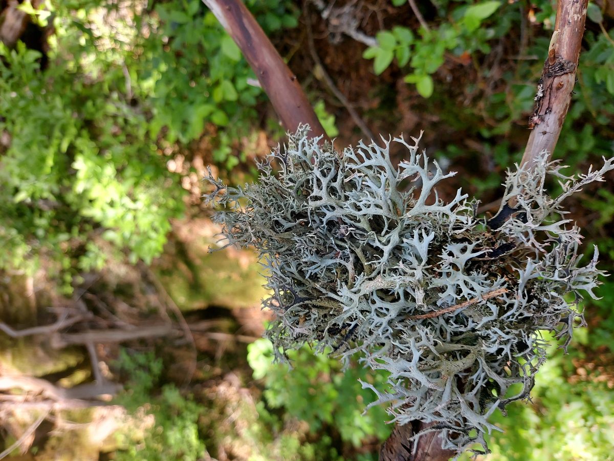
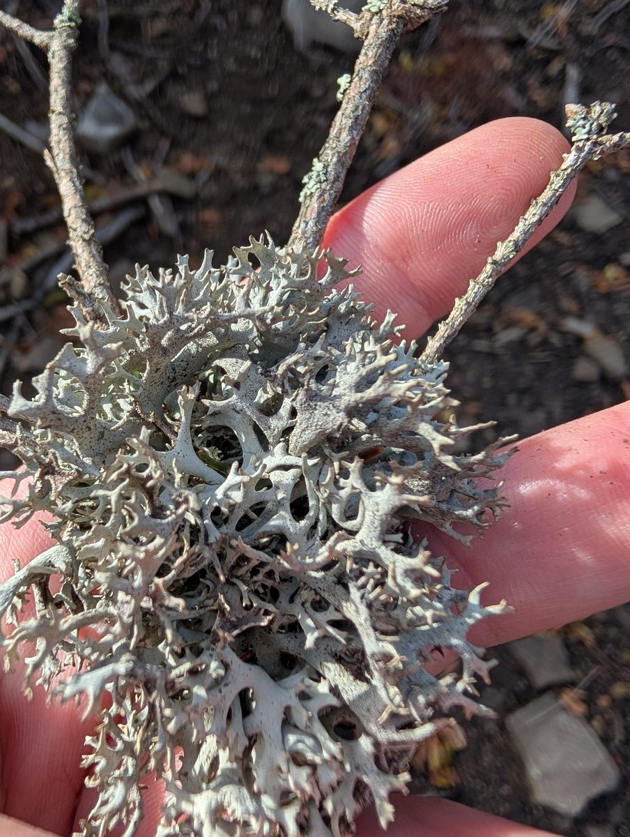
Gray "beards" and bushy clumps on the branches of spruces, which tourists call moss, are mostly lichens. One of the most common is Pseudevernia furfuracea. A lichen is not a plant, but a symbiosis of a fungus and a microscopic alga: the fungus forms the body, while the alga feeds it with the products of photosynthesis. In our catalog, we list lichens among fungi.
The body of Pseudevernia furfuracea consists of narrow flat ribbons 3–10 cm long, which fork several times. They are ash-gray on top and covered with small outgrowths, as if sprinkled with flour. The underside is channelled, black in older parts, and whitish or pinkish at the tips. This distinguishes it from the similar Evernia prunastri, which has soft ribbons and a white underside.
In the Carpathians, Pseudevernia furfuracea grows on the bark and branches of spruce, fir, pine, larch, birch, on old wooden fences and roofs — from the foothills to the upper limit of the forest. It covers trees most abundantly in humid mountain forests where fogs often linger. In the Ukrainian Carpathians, this is one of the most frequently observed species by naturalists, which has not yet been included in our catalog.
The lichen does not harm the tree: it merely clings to the bark and takes water and nutrients from the air and rain. It is more abundant on dying branches simply because there is more light there.
The lichen grows slowly — a few millimeters per year. This species is collected industrially in some European countries for perfumery, and it is not suitable for food.
Where in the Carpathians

The map shows where naturalists recorded the species (GBIF, CC0 and CC BY records), not every place it lives. The Ukrainian Carpathians are less studied, so a blank area does not mean the species is absent.
- Countries
- Slovakia · Ukraine · Poland · Romania · Hungary · Czechia
- Mountain ranges
- Gorgany, Bihor-Vlădeasa Mountains, Low Tatras, Kysuce Beskids, Lesser Fatra, Western Tatras, High Tatras, Maramureș Mountains, Skole Beskids, Babia Góra
- Altitude belts
- Foothills (below 600 m) · Beech forests (600–1200 m) · Conifer forests (1200–1600 m)
When to see it
| Jan | Feb | Mar | Apr | May | Jun | Jul | Aug | Sep | Oct | Nov | Dec | |
|---|---|---|---|---|---|---|---|---|---|---|---|---|
| Sightings |
From naturalists’ observations in the Carpathians (iNaturalist, research grade): the darker the cell, the more often the species is seen that month.
Protection and rules
Not listed in the Red Book of Ukraine.
FAQ
What is the gray "moss" hanging on spruces in the Carpathians?
Mostly, these are lichens — Pseudevernia furfuracea, Hypogymnia, and Usnea. A lichen is a symbiosis of a fungus and an alga, not a moss.
Do lichens harm trees?
No. They merely attach to the bark and take water and nutrients from the air and precipitation.
Similar species
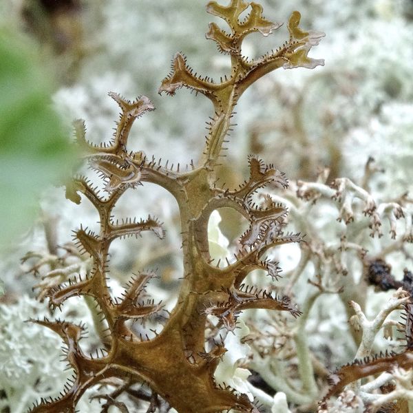
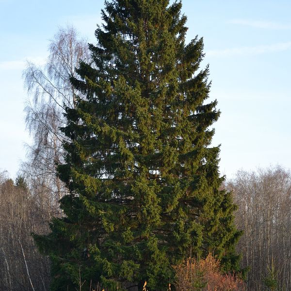
Where to meet it
Trails
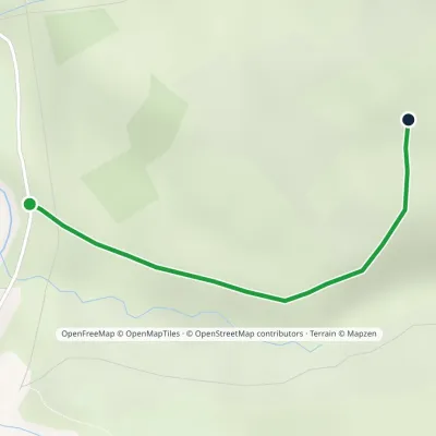 EasyOne-dayMarkedTrail to the UPA hut museum in Yala tractElevation profile815–969 m1.2 kmascent 154 m≈ 30 min walking
 HardMulti-dayMarkedBystrytsia village to Yasiniavia Mount Bratkivska, Okole Pass +3Elevation profile625–1 788 m54.1 kmascent 2 070 m
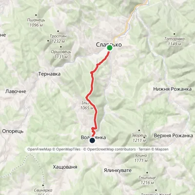 ModerateOne-dayMarkedNo. 5001 Slavske Volosianka villagevia Mount IlzaElevation profile599–1 065 m9.1 kmascent 492 m≈ 3.5 h walking
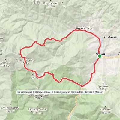 HardMulti-dayYasinia loopvia Dragobrat, Mount Stih +2Elevation profile625–1 771 m46.2 kmascent 1 512 m
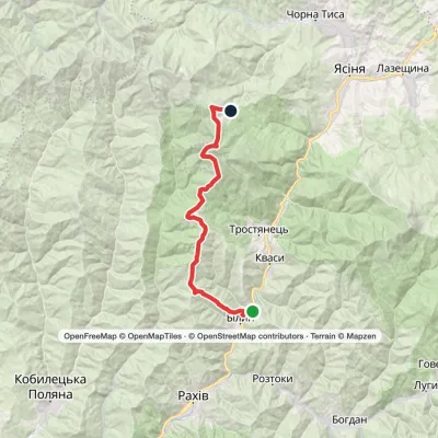 HardMulti-dayBilyn village to Dragobratvia Mount Blyznytsia, Mount StihElevation profile498–1 785 m26.5 kmascent 1 717 m≈ 10 h walking
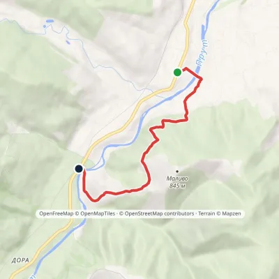 EasyOne-dayMarkedBaron's Trail: Deliatyn Dora villageElevation profile421–701 m5.3 kmascent 277 m≈ 2 h walking
 HardMulti-dayChorna Tysa village loopvia Mount Dohiaska, Mount Troiaska +1Elevation profile777–1 762 m45.3 kmascent 1 258 m≈ 14 h walking
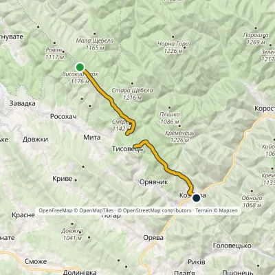 ModerateOne-dayMarkedNo. 505 Kozova village Rosokhatski polonynyvia TysovetsElevation profile608–1 177 m14.9 kmascent 329 m≈ 4.5 h walking
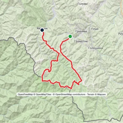 HardMulti-dayProbiinivka village to Shybene villagevia Mount Tarnytsia, Mount Pnivie +1Elevation profile797–1 766 m68.4 kmascent 2 793 m
 HardMulti-dayChorna Tysa village to Kvasy villagevia Dragobrat, Lake Vorozheska +3Elevation profile631–1 771 m36.6 kmascent 1 728 m≈ 12.5 h walking
 ModerateTwo-dayMarkedBystrytsia village loopvia Mount HropaElevation profile867–1 759 m14.9 kmascent 892 m≈ 5.5 h walking
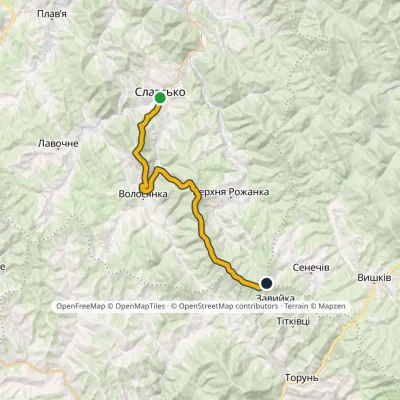 HardTwo-dayMarkedNo. 5011 Slavsko «Where Three Regions Meet»Elevation profile592–1 287 m24.5 kmascent 1 326 m≈ 9 h walking
Mountain ranges: Gorgany, Maramureș Mountains, Skole Beskids. In other countries: 🇷🇴 Bihor-Vlădeasa Mountains, 🇸🇰 Low Tatras, 🇸🇰 Kysuce Beskids, 🇸🇰 Lesser Fatra, 🇸🇰 Western Tatras, 🇸🇰 High Tatras, 🇵🇱 Babia Góra, 🇵🇱 Żywiec Beskids, 🇷🇴 Harghita and Gurghiu Mountains, 🇵🇱 Gorce, 🇷🇴 Cindrel Mountains
Trails and peaks near which naturalists recorded the species (GBIF, iNaturalist), matched by altitude and habitat. Sightings are not guaranteed.
Sources
- Wikipedia (en): Pseudevernia furfuracea
- Wikipedia (pl): Mąklik otrębiasty
- iNaturalist: Pseudevernia furfuracea (спостереження в Карпатах)
GBIF · iNaturalist · Wikidata · Distribution data: GBIF.org (CC0 and CC BY records), iNaturalist; names and identifiers: Wikidata (CC0). Text: Karpaty.rocks, checked 11.11.2026.
