Horse mint
For information only, not medical advice. Do not self-medicate — consult a doctor. Many Carpathian medicinal plants are protected and must not be collected.
About
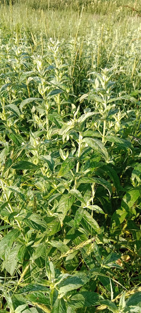
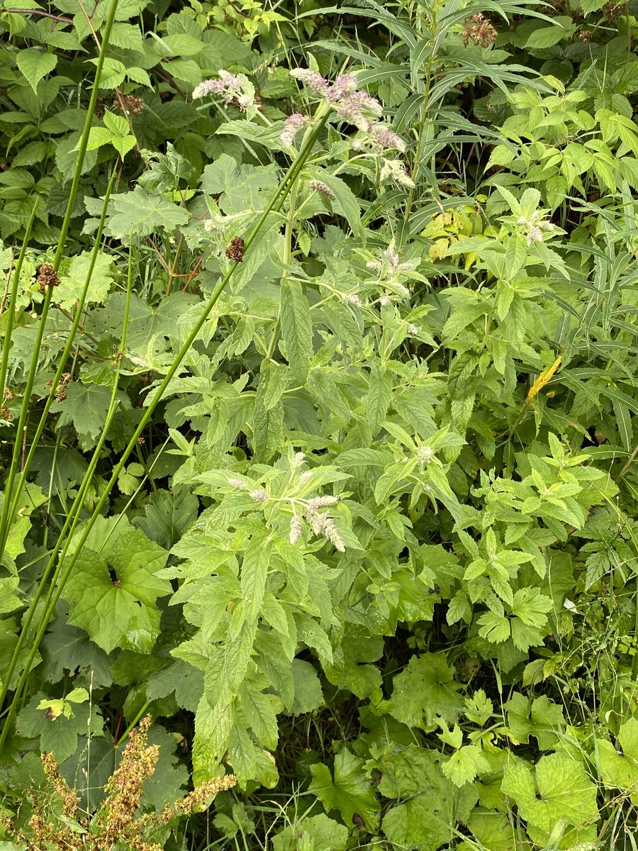
Mentha longifolia is a wild mint of Europe and Asia, easily recognizable by its scent. It is demanding in terms of light and moisture, so it feels best in open sunny places with light, moist, and fertile soil—on wet meadows and near water. In the shade, the plant develops poorly: the lower leaves fall off, and the essential oil content decreases. It also occurs in the Carpathians.
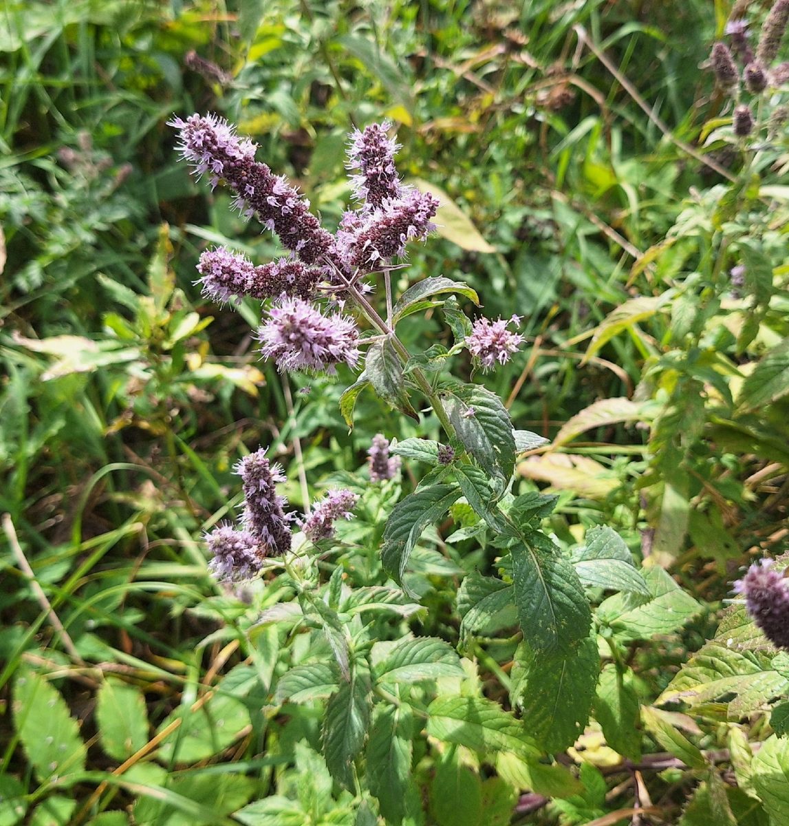
This perennial herb has a creeping rhizome and upright square stems 40–120 cm tall. The leaves are sessile or nearly sessile, lanceolate, 5–10 cm long, serrated, and are gray-green above and whitish below due to dense hairiness. The small flowers, 3–5 mm, are purple, lavender, or white, gathered in dense rings that together form long spike-like inflorescences at the tops of the stems. It blooms in July – August.
The scent of mint comes from its essential oil. Besides menthol, it contains menthone, carvacrol, linalool, and pulegone. The quantity and composition of the oil are highly variable and depend on lighting and soil.
The leaves and flowering tops have traditionally been collected during the flowering period, dried for herbal teas, and used as a spice. When collecting, cut the stems above the ground and do not uproot the plant. Horse mint can easily be confused with other wild mints, particularly the hairy forms of Mentha spicata, but they all smell like mint; instead, herbs with a similar spike that lack a minty scent should be avoided.
Where in the Carpathians

The map shows where naturalists recorded the species (GBIF, CC0 and CC BY records), not every place it lives. The Ukrainian Carpathians are less studied, so a blank area does not mean the species is absent.
- Countries
- Slovakia · Czechia · Poland · Ukraine · Romania · Hungary · Austria · Serbia
- Mountain ranges
- Strážov Mountains, Slovak Ore Mountains, White Carpathians, Greater Fatra, Low Tatras, Kysuce Beskids, Moravian-Silesian Beskids, Lesser Fatra, Slovak Central Mountains, Volovec Mountains
- Altitude belts
- Foothills (below 600 m) · Beech forests (600–1200 m)
When to see it
| Jan | Feb | Mar | Apr | May | Jun | Jul | Aug | Sep | Oct | Nov | Dec | |
|---|---|---|---|---|---|---|---|---|---|---|---|---|
| Flowering | ||||||||||||
| Fruit |
From naturalists’ observations in the Carpathians (iNaturalist, research grade): the darker the cell, the more often the species is seen that month.
Look-alikes — how to tell them apart
Hairy forms are very similar; botanists distinguish them by their hairs: in Mentha longifolia, they are simple and unbranched, while in Mentha spicata, they are branched.
In folk tradition
The leaves and flowering tops are traditionally dried for herbal teas and used as a spice.
Protection and rules
Not protected. Collecting plants is prohibited in reserves and protected areas of national parks.
FAQ
Does wild mint grow in the Carpathians?
Yes, Mentha longifolia occurs in the Carpathians in wet sunny meadows and near water.
When does wild mint bloom?
Mentha longifolia blooms in July – August, abundantly at the end of July.
Similar species
Where to meet it
Trails
 EasyOne-dayMarkedZhynets tract road to Bukovelvia Khomiakiv polonynaElevation profile779–1 352 m7.7 kmascent 572 m≈ 3 h walking
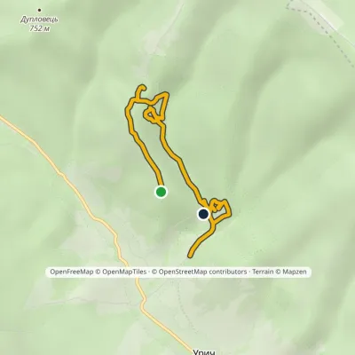 EasyOne-dayMarkedNo. 5048 «In the Footsteps of Legendary Tustan»Elevation profile551–712 m4.1 kmascent 139 m≈ 1.5 h walking
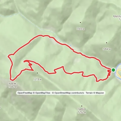 ModerateOne-dayMarkedZhenets tract Zhenets tract (Mykulychyn village)via Mount KhomiakElevation profile650–1 542 m13.2 kmascent 888 m≈ 5 h walking
 ModerateOne-dayMarkedTatariv village loopvia Mount KhomiakElevation profile788–1 483 m10.2 kmascent 694 m≈ 4 h walking
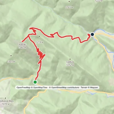 ModerateTwo-dayMarkedPolianytsia village to Zhenets tract (Mykulychyn village)via Mount KhomiakElevation profile654–1 542 m14.6 kmascent 758 m≈ 5 h walking
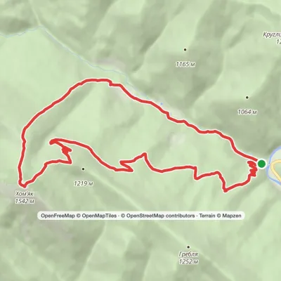 ModerateOne-dayMarkedZhenets tract loopvia Mount KhomiakElevation profile650–1 542 m14.1 kmascent 875 m≈ 5.5 h walking
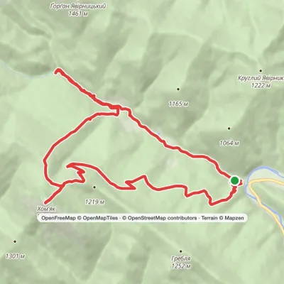 ModerateTwo-dayMarkedZhenets tract loopvia Mount Khomiak, Huk WaterfallElevation profile651–1 542 m18 kmascent 947 m≈ 6.5 h walking
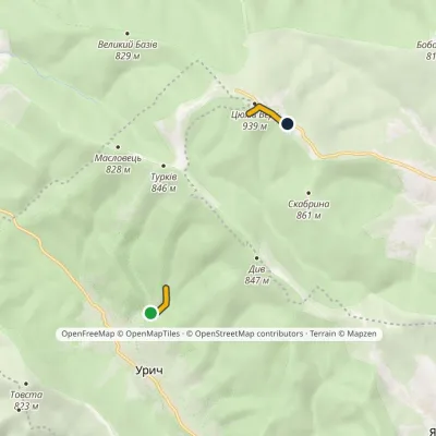 EasyOne-dayMarkedNo. 5050 Tustan Carpathian polonynyElevation profile554–939 m1.3 kmascent 410 m≈ 1 h walking
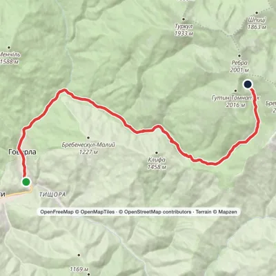 ModerateTwo-dayMarkedLuhy village Lake BrebeneskulElevation profile653–1 793 m16.4 kmascent 1 155 m≈ 6.5 h walking
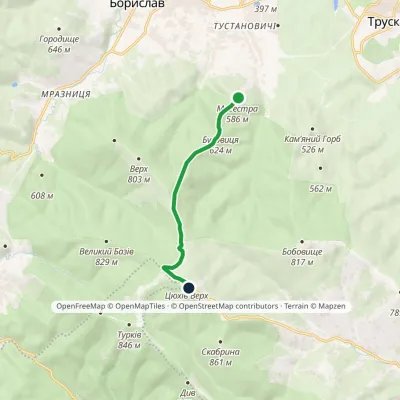 EasyOne-dayMarkedTsiukhiv Dil: Bukovytsia resort viewing tower (VeloBeskydy)Elevation profile552–939 m6.3 kmascent 387 m≈ 2.5 h walking
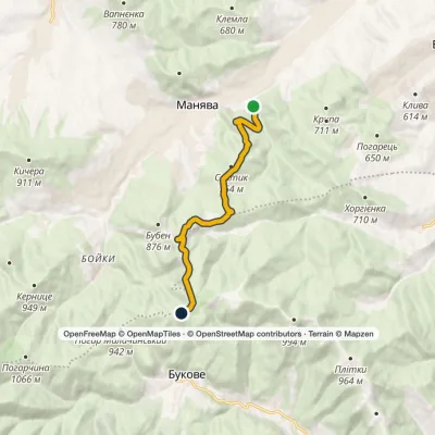 ModerateOne-dayMarkedManiava village Monastyretska polonynaElevation profile497–950 m12.1 kmascent 406 m≈ 4 h walking
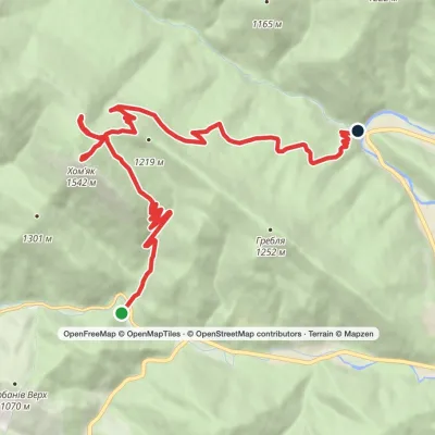 ModerateTwo-dayMarkedYablunytsia village to Zhenets tract (Mykulychyn village)via Mount Khomiak, Khomiakiv polonynaElevation profile653–1 542 m14.8 kmascent 770 m≈ 5 h walking
Waters and waterfalls
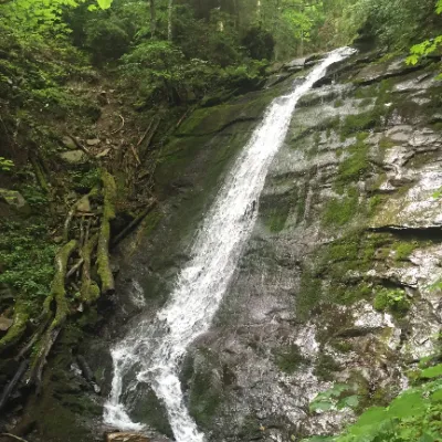 WaterfallNarinetskyi waterfall, MykulychynMykulychynNarinetskyi Waterfall is a waterfall in the Ukrainian Carpathians, on the Noretskyi Stream (a left tributary of the...
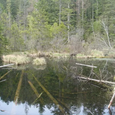 LakeLake Zhuravlyne (Dead Lake)KamiankaThere is one mysterious place in the Skole Beskydy National Nature Park - Zhuravlyne Lake, also called Dead Lake.
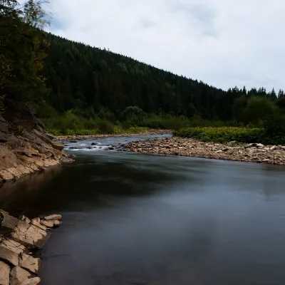 RiverSvicha RiverVyhodaThe Svicha is a 107-km right-bank tributary of the Dniester. It rises on the northern slopes of the main Gorgany...
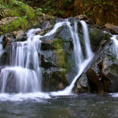 WaterfallKamianka waterfallDubyna"Kamianka Waterfall or Kamianka Waterfall is the most famous waterfall located on the mountain river of the same name...
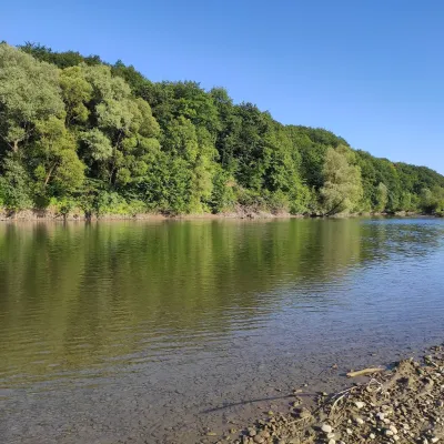 RiverBystrytsia Solotvynska RiverSolotvynThe Bystrytsia Solotvynska rises at about 1,390 m at the foot of Mala Syvulia and Bystryk, near the Peklo cliffs in...
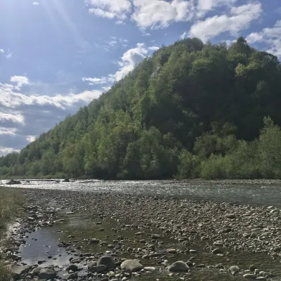 RiverBystrytsia Nadvirnianska RiverNadvirnaThe Bystrytsia Nadvirnianska rises on the northern slope of Mount Chorna Kleva in the Gorgany, at about 1,280 m.
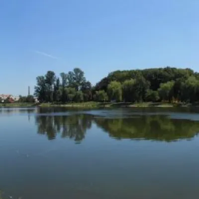 LakeCity lake in KolomyiaKolomyiaAfter touring the city, it's a good idea to relax and unwind by the water.
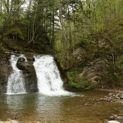 WaterfallGurkalo waterfallKorchynGurkal, located on the Velyka Richka River, has a very eloquent name! You can't argue with it, especially when the...
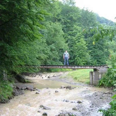 WaterfallMikva waterfallVyzhenkaThe Mykva Waterfall is a small but very picturesque waterfall located in the village of Vyzhenka, Chernivtsi region.
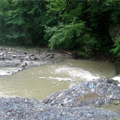 RiverVyzhenka RiverVyzhenkaTheriver Vyzhenka is located in the village of the same name in the Chernivtsi region.
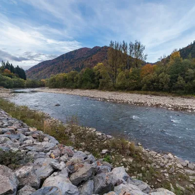 RiverTeresva RiverUst-ChornaThe Teresva forms in Ust-Chorna, where the Mokrianka and Brusturianka meet, and flows south through Dubove, Kalyny,...
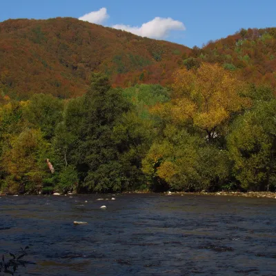 RiverUzh RiverVelykyi BereznyiAbove the Uzh near Kamianytsia stand the ruins of Nevytsky Castle, and in Uzhhorod the Masaryk Bridge offers a good...
Mountain ranges: In other countries: 🇸🇰 Strážov Mountains, 🇸🇰 Slovak Ore Mountains, 🇨🇿 White Carpathians, 🇸🇰 Greater Fatra, 🇸🇰 Low Tatras, 🇸🇰 Kysuce Beskids, 🇨🇿 Moravian-Silesian Beskids, 🇸🇰 Lesser Fatra, 🇸🇰 Slovak Central Mountains, 🇸🇰 Volovec Mountains, 🇸🇰 Javorníky, 🇵🇱 Low Beskids, 🇸🇰 Považský Inovec, 🇸🇰 Slovak Paradise
Trails and peaks near which naturalists recorded the species (GBIF, iNaturalist), matched by altitude and habitat. Sightings are not guaranteed.
Sources
- Вікіпедія: М'ята довголиста
- Wikipedia (en): Mentha longifolia
- iNaturalist: Mentha longifolia (спостереження в Карпатах)
GBIF · iNaturalist · Wikidata · Distribution data: GBIF.org (CC0 and CC BY records), iNaturalist; names and identifiers: Wikidata (CC0). Text: Karpaty.rocks, checked 09.11.2026.
