Fairy primrose
About
Primula minima is a plant of the high mountains of Europe: the Alps, Carpathians, and Balkans. In the Tatras, it is quite common and grows even on the highest peaks, particularly on Gerlach (2655 m); below 1300 m, it is rarely found. Most of our records are from the Western, High, and Low Tatras, as well as from the Belianske Tatras, Chornohora, and Romania's Făgăraș Mountains.
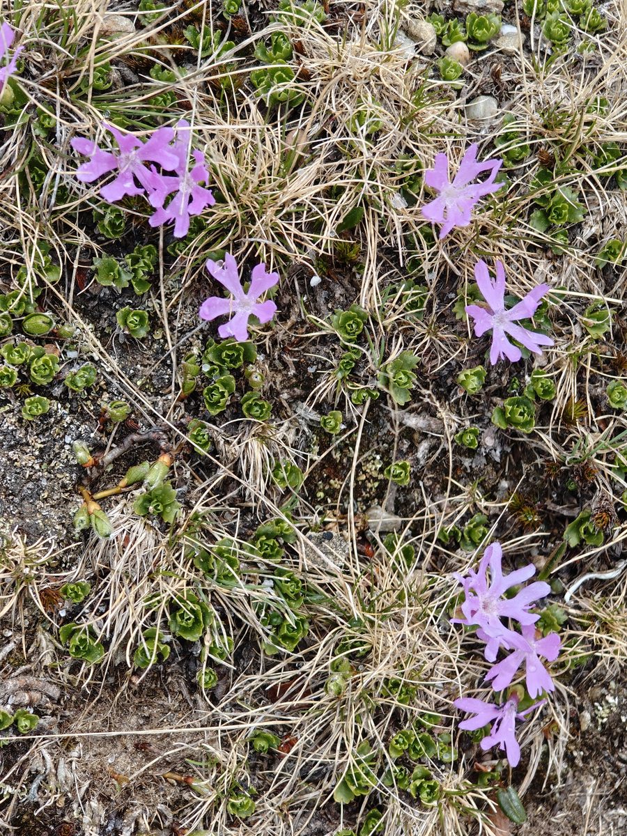
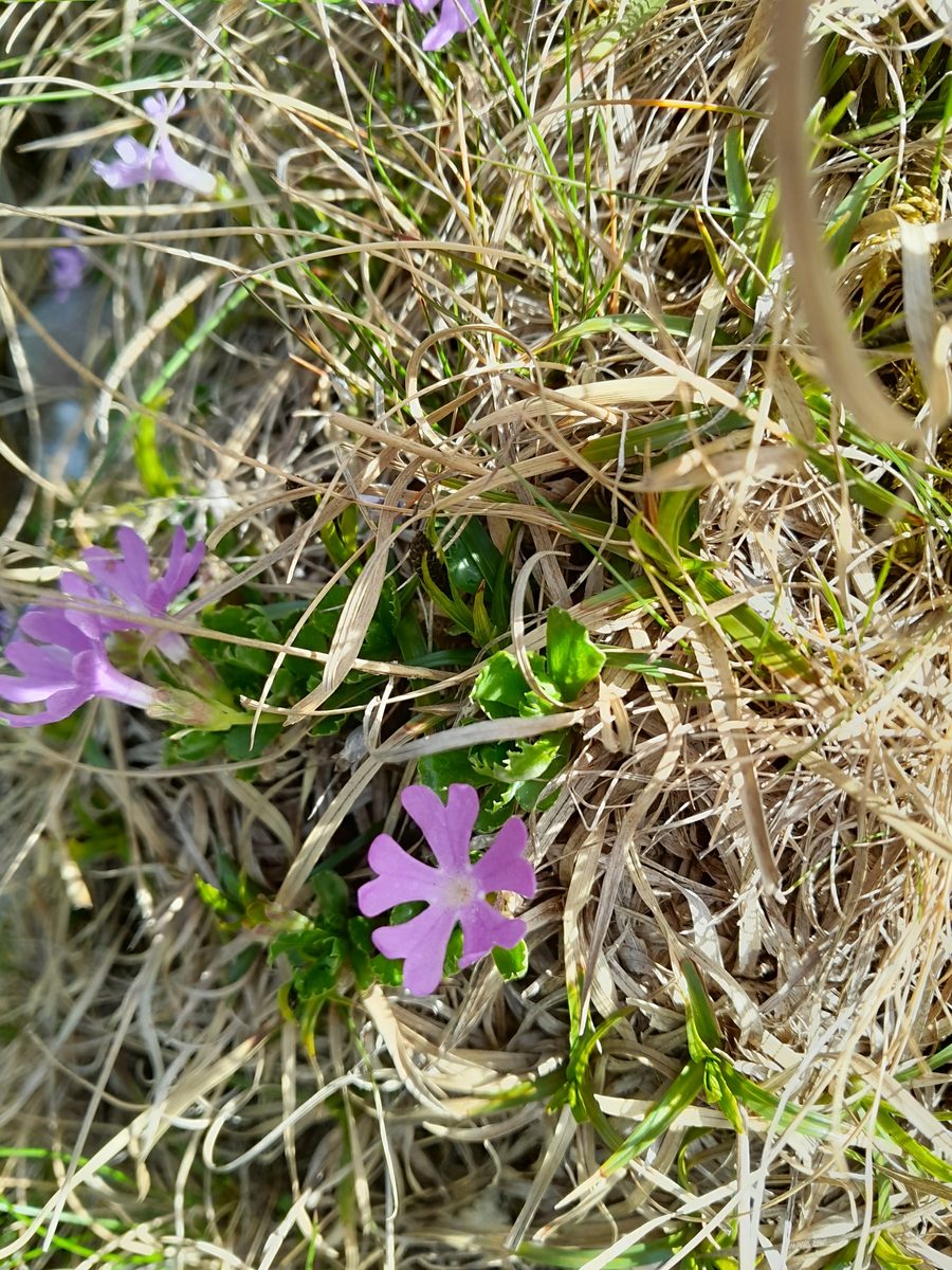
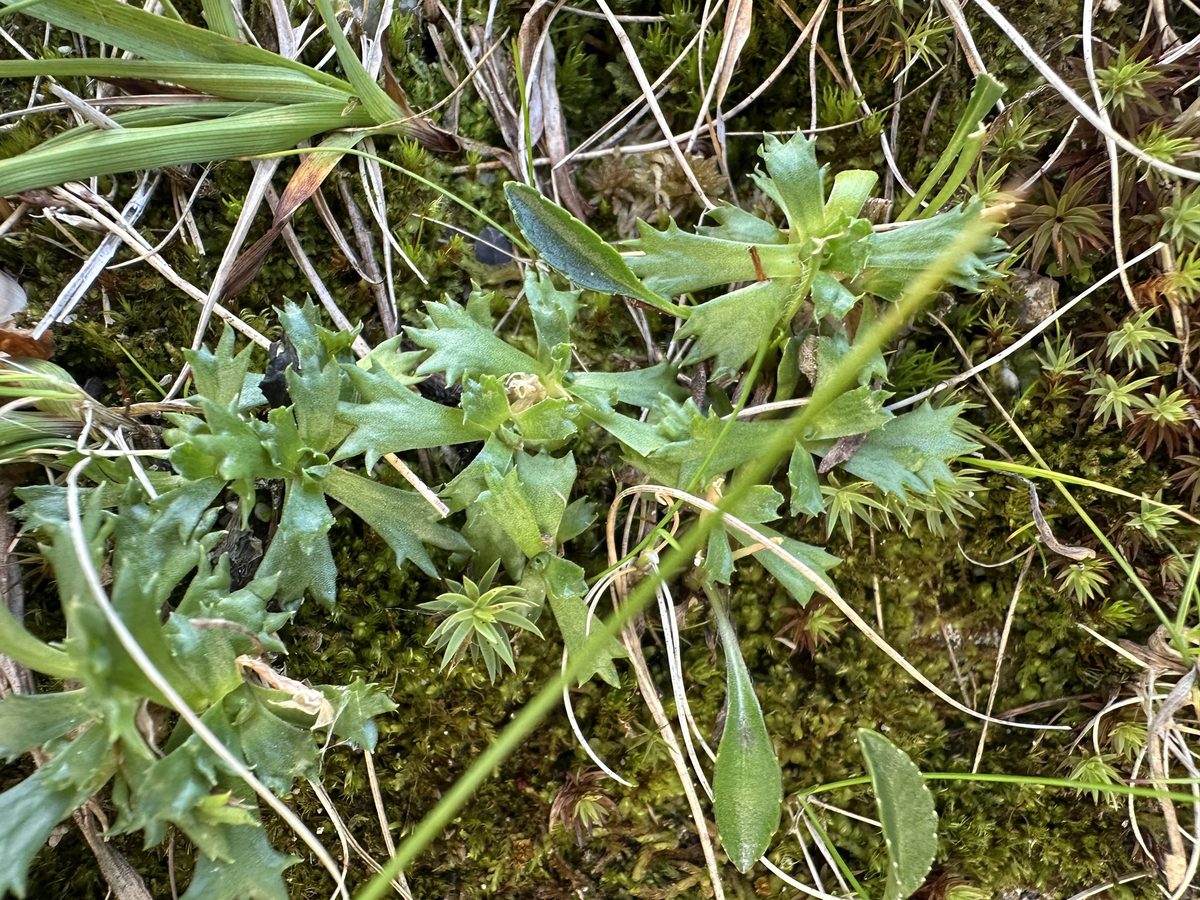
The stem is very short, about one centimeter. The evergreen leaves are gathered in a rosette: wedge-shaped, fleshy, glossy, with a few teeth at the tip. A waxy coating protects them from water loss. The flower is solitary, on a short stalk, purple, about 3 cm in diameter; the five petals are deeply cut, and a ring of white hairs is visible in the throat.
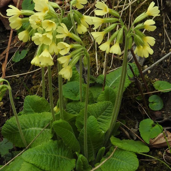
It blooms in June–July. Unlike auricula, this primrose prefers acidic granite rocks: it grows on rocky ledges, among stones, on screes, and grassy slopes, sometimes forming continuous mats.
In Ukraine, Primula minima is rare: according to Ukrainian Wikipedia, it grows in Chornohora and on Marmarosh and is listed in the Red Book of Ukraine as "rare." In Poland, the species has been under strict protection since 2004. The greatest threat is trampling near trails, so do not stray from the path.
Where in the Carpathians

Orange — where naturalists recorded the species (GBIF, CC0/CC BY); a blank area does not mean it is absent.
- Countries
- Ukraine · Slovakia · Romania · Poland
- Mountain ranges
- Chornohora. In other countries: 🇸🇰 Western Tatras, 🇸🇰 High Tatras, 🇸🇰 Low Tatras, 🇸🇰 Belianske Tatras, 🇷🇴 Făgăraș Mountains, 🇷🇴 Bucegi Mountains, 🇷🇴 Retezat Mountains, 🇷🇴 Parâng Mountains
- Altitude belts
- Subalpine belt (1600–1900 m) · Alpine belt (above 1900 m)
When to see it
| Jan | Feb | Mar | Apr | May | Jun | Jul | Aug | Sep | Oct | Nov | Dec | |
|---|---|---|---|---|---|---|---|---|---|---|---|---|
| Flowering |
From naturalists’ observations in the Carpathians (iNaturalist, research grade): the darker the cell, the more often the species is seen that month.
Protection and rules
According to Ukrainian Wikipedia, listed in the Red Book of Ukraine (rare). In Poland, it is under strict protection. Picking is prohibited.
Admire, don’t pick: plants listed in the Red Data Book of Ukraine — and any plants in nature reserves and strictly protected zones of national parks — must not be collected.
FAQ
Does Primula minima grow in Ukraine?
Yes, in Chornohora and on Marmarosh, but rarely — the species is listed in the Red Book of Ukraine. In the Tatras, it occurs much more frequently.
When does Primula minima bloom?
In June–July, in the high mountains.
Comments
Travellers’ experience: reports, tips, questions.
No one has written here yet. Be the first — your experience helps others.
Similar species
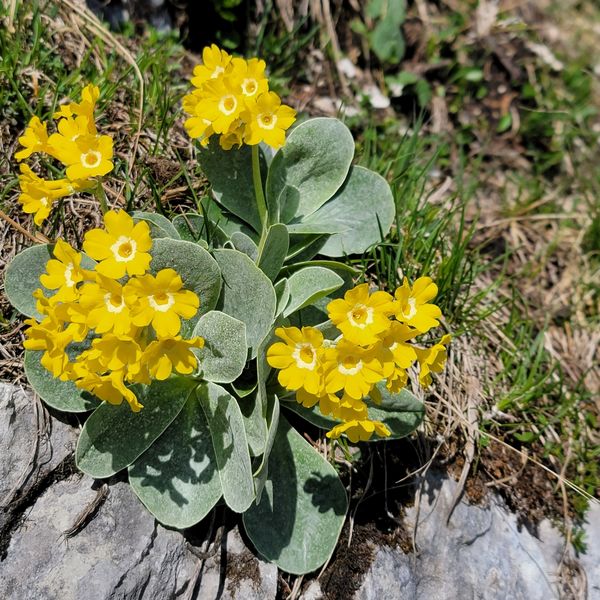
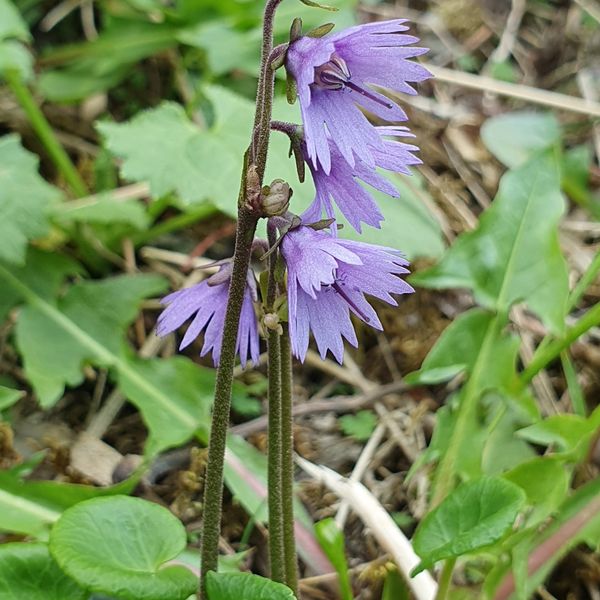
Where to meet it
Trails
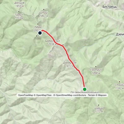 EasyOne-dayMount Pip Ivan Chornohirskyi to Lake Brebeneskulvia Mount Dzembronia, Mount BrebeneskulElevation profile1 799–2 035 m8.8 kmascent 364 m≈ 3 h walking
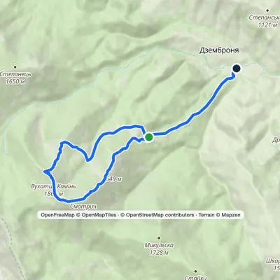 ModerateOne-dayMarkedDzembronia village loopvia Smotrych polonyna, Mount Smotrych +2Elevation profile817–1 898 m10.4 kmascent 696 m≈ 4 h walking
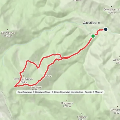 ModerateOne-dayMarkedDzembronia village loopvia Mount Vukhatyi Kamin, Mount SmotrychElevation profile803–1 898 m14.4 kmascent 1 035 m≈ 5.5 h walking
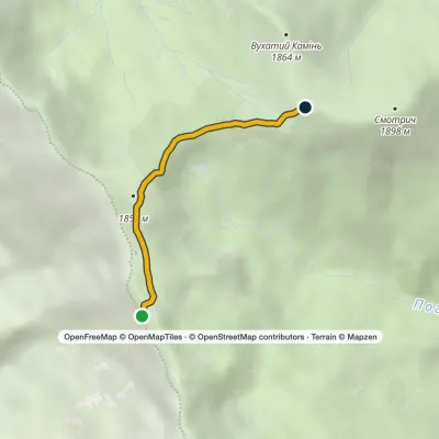 EasyOne-dayMarkedSmotrych saddle Mount Pip IvanElevation profile1 762–1 856 m2.1 kmascent 107 m≈ 45 min walking
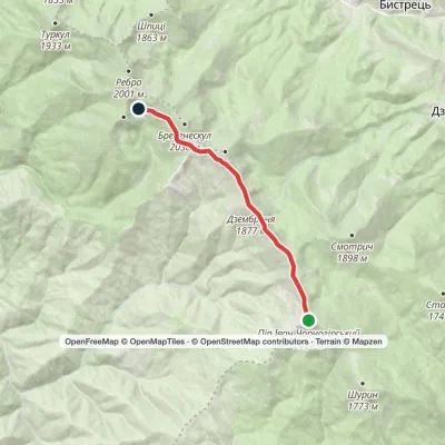 EasyOne-dayMarkedMount Pip Ivan Chornohirskyi Lake BrebeneskulElevation profile1 791–2 028 m8.5 kmascent 207 m≈ 2.5 h walking
 HardOne-dayDzembronia village loopvia Mount Brebeneskul, Mount MenchulElevation profile1 010–2 035 m24 kmascent 1 455 m≈ 8.5 h walking
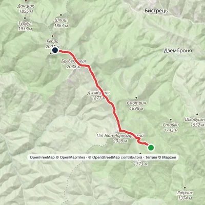 ModerateOne-dayMarkedVesnarka polonyna to Lake Brebeneskulvia Mount Pip Ivan Chornohirskyi, Mount DzembroniaElevation profile1 506–2 035 m13.2 kmascent 911 m≈ 5 h walking
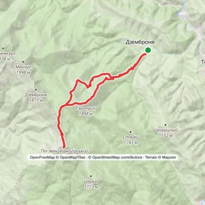 HardOne-dayMarkedDzembronia village loopvia Mount Pip Ivan Chornohirskyi, Mount SmotrychElevation profile815–2 028 m25.3 kmascent 1 398 m≈ 8.5 h walking
 ModerateOne-dayMarkedDzembronia village Mount Pip Ivan ChornohirskyiElevation profile822–2 028 m9.7 kmascent 1 340 m≈ 4.5 h walking
 HardOne-dayMarkedDzembronia village loopvia Mount Vukhatyi Kamin, Mount Pip Ivan Chornohirskyi +1Elevation profile793–2 028 m21.3 kmascent 1 432 m≈ 7.5 h walking
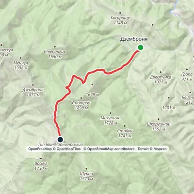 ModerateOne-dayMarkedDzembronia village Mount Pip Ivan ChornohirskyiElevation profile818–2 028 m10.4 kmascent 1 308 m≈ 5 h walking
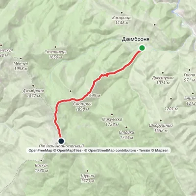 ModerateOne-dayMarkedDzembronia village loopvia Mount Smotrych, Mount Pip Ivan Chornohirskyi +1Elevation profile820–2 028 m9.2 kmascent 1 342 m≈ 4.5 h walking
Peaks and meadows
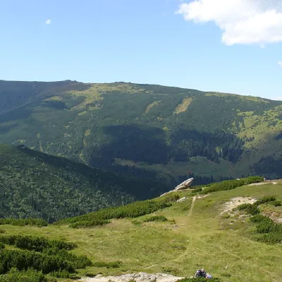 PeakMount MenchulDzembroniaaltitude 1 998 m · Chornohora range69 trails to the topMenchul (1998 m) is a peak in the south-eastern part of the main Chornohora ridge, 1.4 km from Brebeneskul; its...
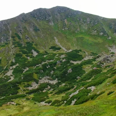 PeakMount BrebeneskulBystretsaltitude 2 035 m · Chornohora range71 trails to the topBrebeneskul (2035 m) is the second highest mountain in Ukraine, in the middle of the main Chornohora ridge.
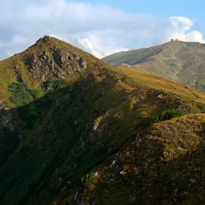 PeakMount DzembronyaDzembroniaaltitude 1 877 m · Chornohora range68 trails to the topMount Dzembronia, with a height of 1877 meters, is one of the most famous peaks of the Ukrainian Carpathians, located...
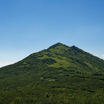 PeakMount StaikyYavirnyk (Shybene)altitude 1 743 m · Chornohora range1 trail to the topMount Staiky is a peak that lies within the Chornohora mountain range in the Ukrainian Carpathians, with a height of...
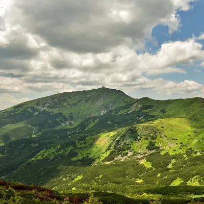 PeakMount Pip Ivan of Chornohora (Pip Ivan, Black Mountain)Dzembroniaaltitude 2 028 m93 trails to the topPip Ivan Chornohirskyi (2028 m) is the third highest mountain in Ukraine, at the south-eastern end of the Chornohora...
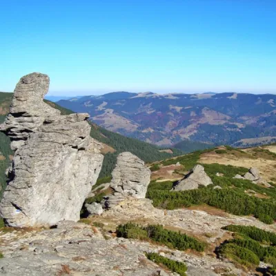 PeakMount Vukhatyi KaminVerkhovyna districtaltitude 1 864 m · Chornohora rangeMount Eared Stone impresses tourists with intricate forms of stone statues.
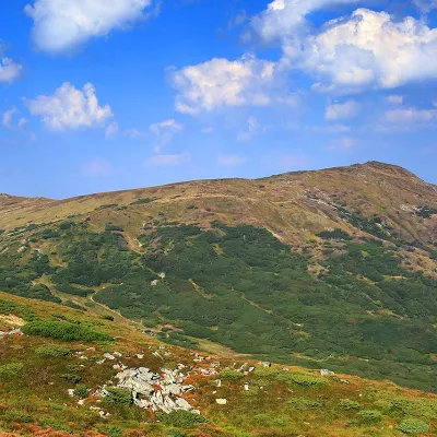 PeakMount SmotrychDzembroniaaltitude 1 898 m · Chornohora range55 trails to the topMount Smotrych (also known as Smotrets) is an 1898-meter peak of the Ukrainian Carpathians.
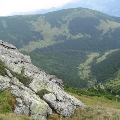 PeakMount ShurinYavirnyk (Shybene)altitude 1 772 m · Chornohora range29 trails to the topMount Shuryn, with a height of 1772 meters, is a peak of the Ukrainian Carpathians located in the southeastern part...
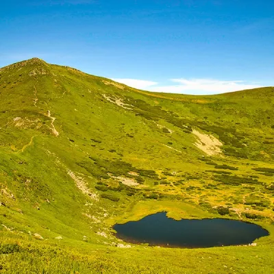 PeakMount Gutin TomnatikBystretsaltitude 2 016 m · Chornohora range79 trails to the topGutin Tomnatik (2016 m) is the fifth highest mountain in Ukraine, on a south-western spur of Chornohora in the...
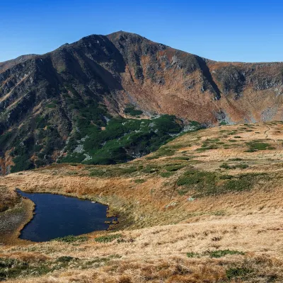 Mountain meadow1 820 mPolonyna BrebeneskaLuhyBrebeneska Polonyna is a high mountain pasture on the south-western, Transcarpathian side of the main Chornohora...
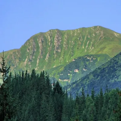 PeakMount RebraBystretsaltitude 2 001 m · Chornohora range91 trails to the topRebra (2001 m) is a peak in the central part of the main Chornohora ridge, on the border of the Ivano-Frankivsk and...
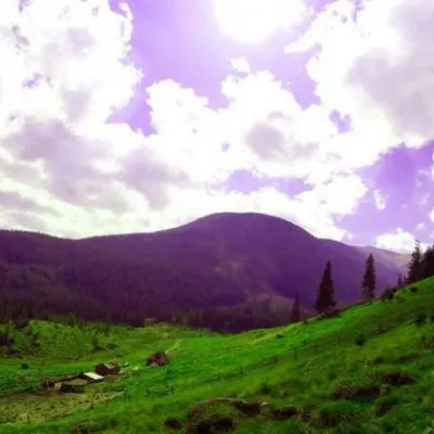 Mountain meadowPolonyna GadzhinaBystretsIt seemed that the Chornohora massif was literally crowded with people, but sometimes you can come across places that...
Mountain ranges: Chornohora. In other countries: 🇸🇰 Western Tatras, 🇸🇰 High Tatras, 🇸🇰 Low Tatras, 🇸🇰 Belianske Tatras, 🇷🇴 Făgăraș Mountains, 🇷🇴 Bucegi Mountains, 🇷🇴 Retezat Mountains, 🇷🇴 Parâng Mountains
Trails and peaks near which naturalists recorded the species (GBIF, iNaturalist), matched by altitude and habitat. Sightings are not guaranteed.
Sources
- Wikipedia (pl): Pierwiosnek maleńki
- Вікіпедія: Первоцвіт дрібний
- GBIF: Primula minima
- Перелік видів рослин та грибів, що заносяться до Червоної книги України (наказ Міндовкілля від 15.02.2021 № 111)
GBIF · iNaturalist · Wikidata · Distribution data: GBIF.org (CC0 and CC BY records), iNaturalist; names and identifiers: Wikidata (CC0). Text: Karpaty.rocks, checked 11.11.2026.
