Blackberry (Rubus hirtus)
Never eat berries you are not sure about and never give unknown berries to children. In case of poisoning call 112 (103 in Ukraine).
About
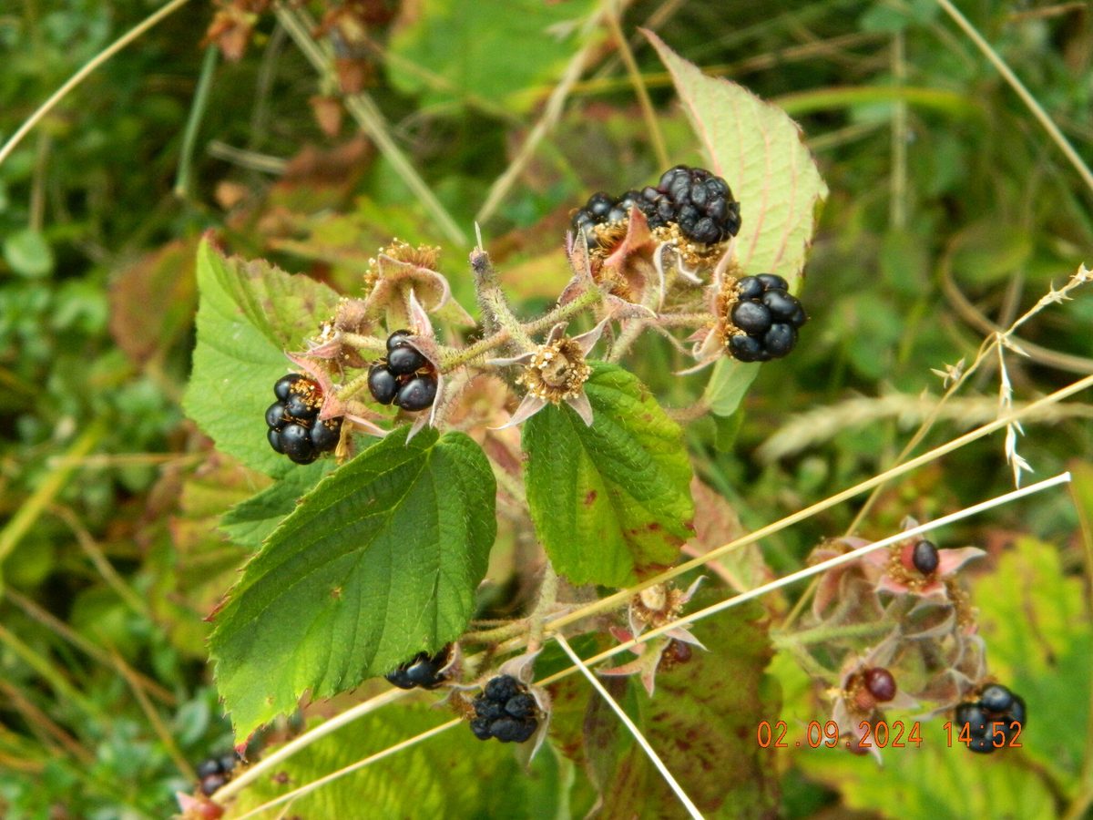
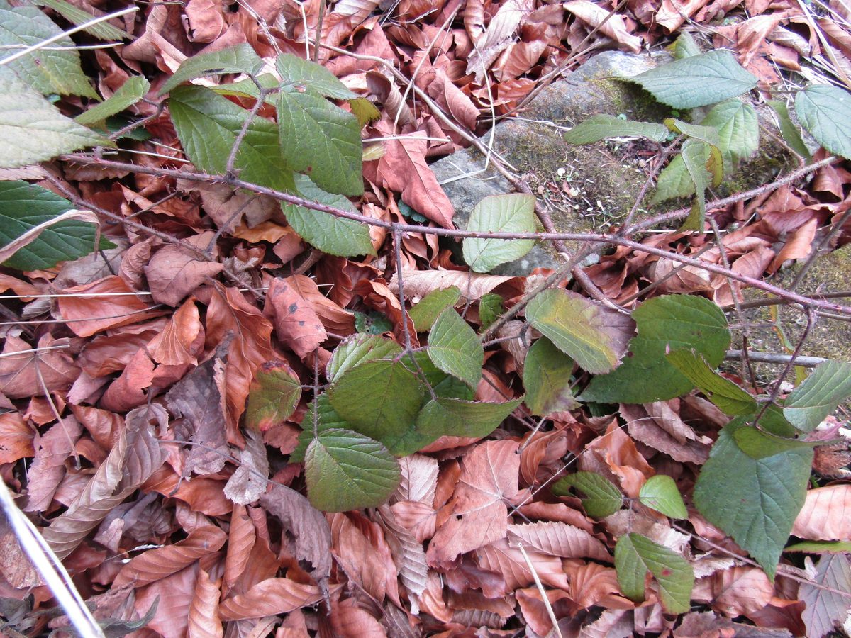
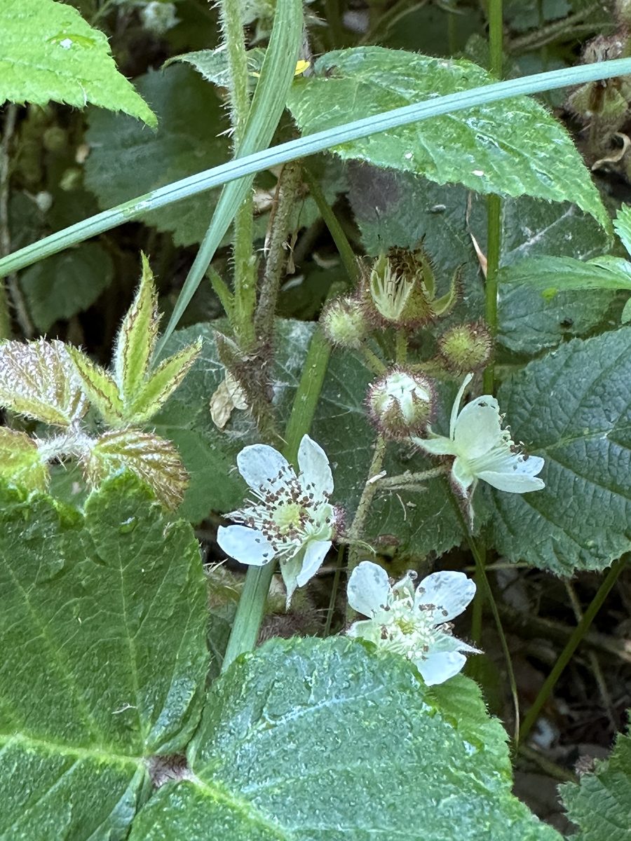
Rubus hirtus is a semi-shrub with sprawling or arching shoots that lie on the ground and root at the tips. The shoots are densely covered with dark red glandular bristles and thin prickles — they feel rough and sticky to the touch. The leaves are mostly trifoliate, dark green, and hairy underneath; some leaves winter under the snow green.
It blooms in June — July with white flowers in sparse racemes. The fruits are shiny black aggregate drupes without a bluish bloom. They ripen in August — September, and the ripe berry is picked along with the white core — this distinguishes blackberry from raspberry, which has a hollow berry.
In the Carpathians, this blackberry forms dense thickets under the canopy of beech, fir, and spruce forests, in clearings, along forest edges, and along forest roads — from the foothills to the middle mountain belt. Naturalists frequently record it in the Ukrainian Carpathians.
Blackberries are a complex group to identify: botanists distinguish hundreds of small species in Europe that hybridize with each other. Therefore, several similar blackberries may grow nearby in the forest. The fruits of all of them are edible and differ only in taste and juiciness.
The berries are eaten fresh, made into jams and drinks. In forest thickets, be cautious: blackberries attract bears, and among the grass and branches, you might not notice a viper.
Where in the Carpathians

Teal — roughly where the species can occur, by elevation and habitat; orange — where naturalists recorded it (GBIF, CC0/CC BY).
Range: elevation belt and forests — our model (AWS Terrain Tiles; © OpenStreetMap)
- Countries
- Ukraine · Slovakia · Poland · Czechia
- Mountain ranges
- nearly all Carpathian ranges, in the forest belt
- Altitude belts
- Foothills (below 600 m) · Beech forests (600–1200 m)
When to see it
| Jan | Feb | Mar | Apr | May | Jun | Jul | Aug | Sep | Oct | Nov | Dec | |
|---|---|---|---|---|---|---|---|---|---|---|---|---|
| Flowering | ||||||||||||
| Fruit |
From naturalists’ observations in the Carpathians (iNaturalist, research grade): the darker the cell, the more often the species is seen that month.
Safety
Berries are edible. In blackberry thickets, make noise and talk to avoid surprising a bear, and watch your step: a viper may be basking in the thickets.
Look-alikes — how to tell them apart
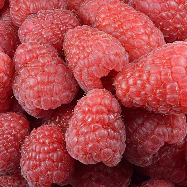
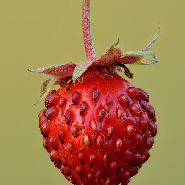
The shoots are upright; the ripe berry is red, picked with the core, and is hollow inside.
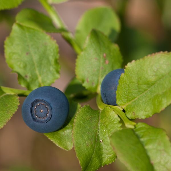
Berries have a bluish waxy coating, with few large drupes; it mostly grows on riverbanks and in lowland floodplains.
In folk tradition
Berries are eaten fresh, made into jams and drinks.
Protection and rules
Not listed in the Red Book of Ukraine. Berries can be collected for personal use outside protected areas.
FAQ
When does blackberry ripen in the Carpathians?
In August — September, depending on the altitude and lighting of the location.
How does blackberry differ from raspberry?
Ripe blackberry is black and picked with the white core. Raspberry is red, has a hollow berry, and its shoots are upright.
Comments
Travellers’ experience: reports, tips, questions.
No one has written here yet. Be the first — your experience helps others.
Similar species
Where to meet it
Trails
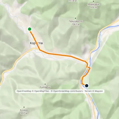 EasyOne-dayMarkedNo. 5004 Korostiv SviatoslavElevation profile468–532 m5.5 kmascent 14 m≈ 1.5 h walking
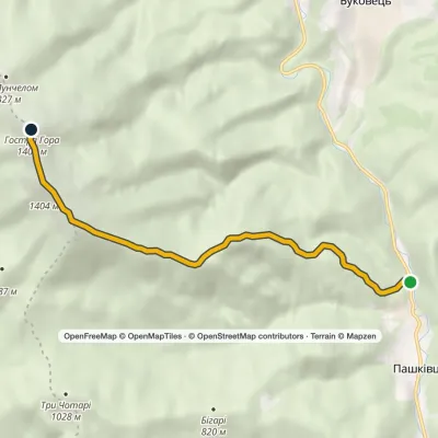 ModerateOne-dayMarkedPashkivtsi Mount HostraElevation profile482–1 405 m6.6 kmascent 979 m≈ 3.5 h walking
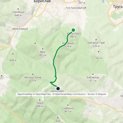 EasyOne-dayMarkedTsiukhiv Dil: Bukovytsia resort viewing tower (VeloBeskydy)Elevation profile552–939 m6.3 kmascent 387 m≈ 2 h walking
 HardOne-dayKamianytsia village loopvia Antalovetska PolianaElevation profile172–968 m22.8 kmascent 933 m≈ 7.5 h walking
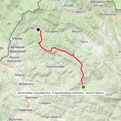 Hard1–2 daysLumshory village to Sil villagevia Mount Mala Holytsia, Mount YavirnykElevation profile258–1 184 m35.5 kmascent 1 569 m≈ 11.5 h walking
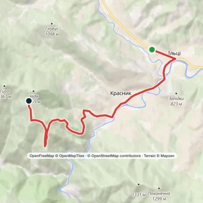 ModerateOne-dayIltsi village Vesnarka polonynaElevation profile636–1 262 m9.8 kmascent 656 m≈ 3.5 h walking
 ModerateOne-dayMarkedPashkivtsi village Mount Hostra HoraElevation profile482–1 345 m5.8 kmascent 872 m≈ 3 h walking
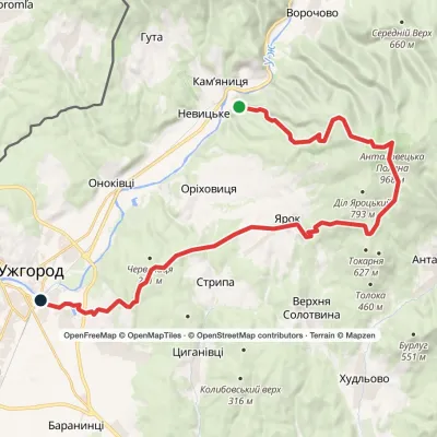 HardOne-dayKamianytsia village to Uzhhorodvia Antalovetska Poliana, Yarok villageElevation profile117–968 m28.9 kmascent 909 m≈ 8.5 h walking
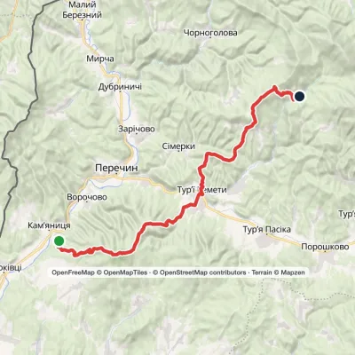 Hard1–2 daysMarkedLumshory Nevytske CastleElevation profile178–960 m40.9 kmascent 1 594 m≈ 13 h walking
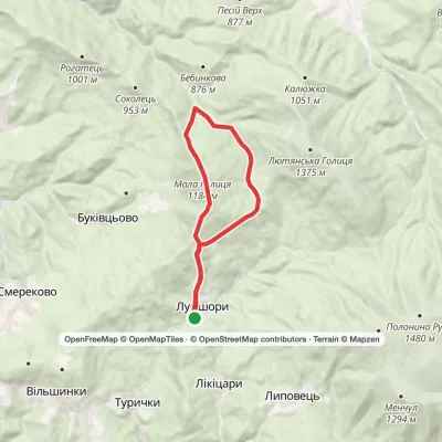 ModerateOne-dayLumshory village loopvia Mount Mala HolytsiaElevation profile445–1 184 m15.9 kmascent 1 122 m≈ 6 h walking
 ModerateOne-dayLumshory village Mount Liutianska HolytsiaElevation profile446–1 375 m8.8 kmascent 929 m≈ 3.5 h walking
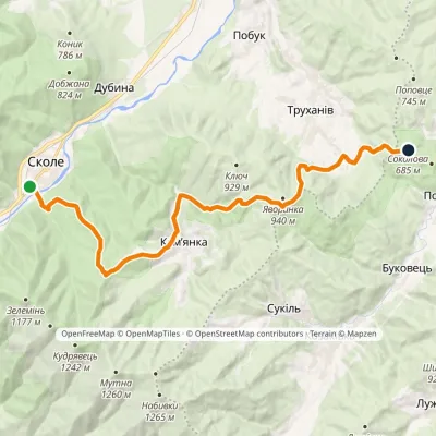 HardOne-dayMarkedNo. 501 Skole Dovbush RocksElevation profile437–921 m20.4 kmascent 987 m≈ 6.5 h walking
Peaks and meadows
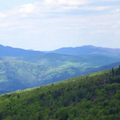 PeakMount KlyuchKamiankaaltitude 927 m · Skole Beskids range2 trails to the topMount Klyuch is one of the peaks of the ridge in the Skole Beskydy, which starts from the Sukel River (Bukivets...
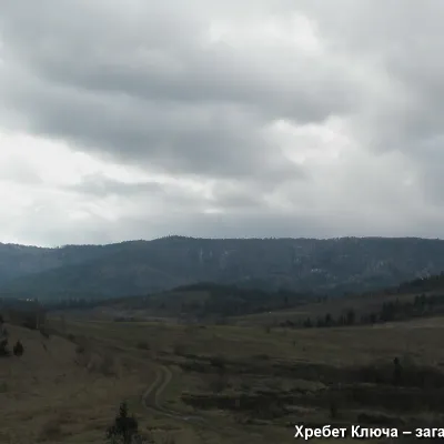 PeakMount YavorinkaTrukhanivaltitude 940 m3 trails to the topThe top of Mount Yavorinka is 940 meters above sea level. Mount Yavorinka is the highest peak of the Klyucha ridge,...
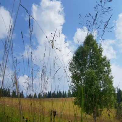 Mountain meadow1 184 mPolonyna ShuvarenkoNadvirna districtShuvarenko Polonyna is a high mountain meadow in the Ukrainian Carpathians, located in Ivano-Frankivsk region near...
Waters and waterfalls
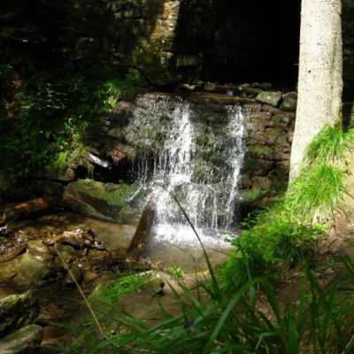 WaterfallLumshory waterfallsLumshoryLumshory waterfalls are a group of waterfalls in the Ukrainian Carpathians, a hydrological natural monument of local...
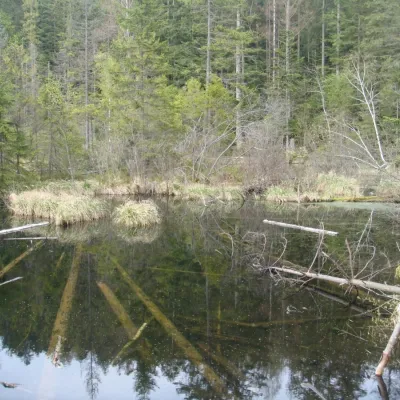 LakeLake Zhuravlyne (Dead Lake)KamiankaThere is one mysterious place in the Skole Beskydy National Nature Park - Zhuravlyne Lake, also called Dead Lake.
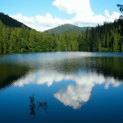 LakeSynevyr Lake Synevyrska PolyanaSynevyrska PolyanaLake Synevyr, located on the territory of the National Nature Park of the same name in Mizhhirya district of...
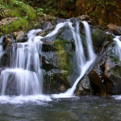 WaterfallKamianka waterfallDubyna"Kamianka Waterfall or Kamianka Waterfall is the most famous waterfall located on the mountain river of the same name...
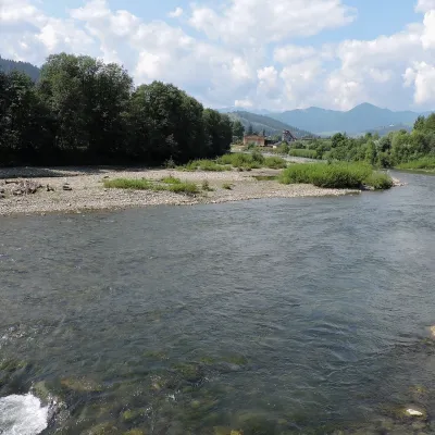 RiverChornyi Cheremosh RiverVerkhovynaThe Chornyi Cheremosh rises south-east of Burkut on the slopes of the Chyvchyn Mountains, the most remote corner of...
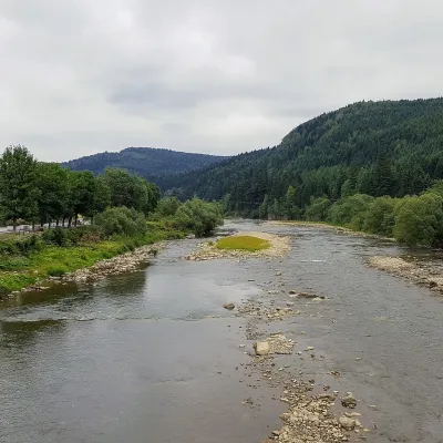 RiverOpir RiverSkoleThe Opir is a 58-km mountain river of the Skole Beskids. It rises on the eastern slope of Mount Velykyi Yavirnyk,...
Mountain ranges: Vihorlat-Gutin Volcanic Ridge, Gorgany, Skole Beskids, Rivna Polonyna, Pokuttia-Bukovina Carpathians, Chornohora. In other countries: 🇸🇰 Štiavnica Mountains, 🇸🇰 Slovak Ore Mountains, 🇸🇰 Kremnica Mountains
Trails and peaks near which naturalists recorded the species (GBIF, iNaturalist), matched by altitude and habitat. Sightings are not guaranteed.
Sources
- Вікіпедія: Ожина шорстка
- Wikipedia (pl): Jeżyna gruczołowata
- Лісовий кодекс України, ст. 69: загальне використання лісових ресурсів (збирання грибів і ягід для власних потреб)
- iNaturalist: Rubus hirtus (спостереження в Карпатах)
GBIF · iNaturalist · Wikidata · Distribution data: GBIF.org (CC0 and CC BY records), iNaturalist; names and identifiers: Wikidata (CC0). Text: Karpaty.rocks, checked 11.11.2026.
