Eastern Carpathians
Східні Карпати · Carpații Orientali
The Eastern Carpathians are the longest part of the arc: from the Low Beskids and the Bieszczady through the Ukrainian Carpathians into Romania. Here are Chornohora with Hoverla, the stone-strewn Gorgany, Svydovets and the Maramureș Mountains, and in Romania the Rodna, Călimani and Ceahlău. Mountain pastures (polonyny), shepherds' huts and long ridge walks define these mountains.
- Elevation
- 104–2,303 m
- Highest summit
- Pietrosul Rodnei, 2,303 m
- Area
- ≈ 54,182 km²
- Countries
- Ukraine, Romania, Poland, Slovakia
Ranges and massifs
On the map
Waymarked trails · 10
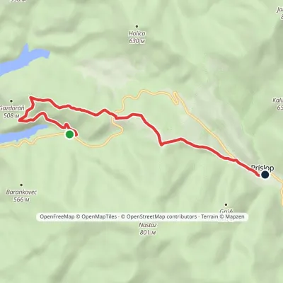 EasyOne-dayMarkedPríslop Nad Brezoveckou zátokouElevation profile381–642 m7.1 kmascent 287 m≈ 2.5 h walking
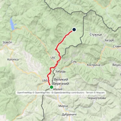 HardTwo-dayMarkedVýchodokarpatská magistrála (East Carpathian Trail)Elevation profile206–513 m25.9 kmascent 692 m≈ 8 h walking
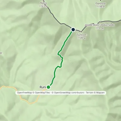 EasyOne-dayMarkedRunina Sedlo pod ĎurkovcomElevation profile551–1 132 m3.7 kmascent 554 m≈ 2 h walking
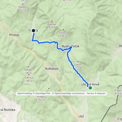 ModerateOne-dayMarkedUličské Krivé TopoľaElevation profile279–663 m12.4 kmascent 501 m≈ 4 h walking
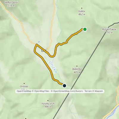 EasyOne-dayMarkedVeľké Dunavy Pod kalinovomElevation profile239–488 m5.8 kmascent 27 m≈ 1.5 h walking
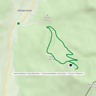 EasyOne-dayMarkedRožok Educational TrailElevation profile274–659 m4.5 kmascent 586 m≈ 2.5 h walking
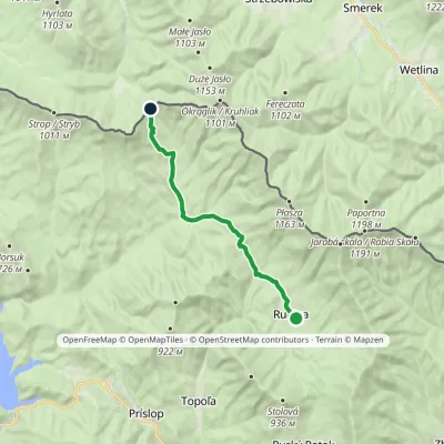 ModerateOne-dayMarkedRunina Ruské sedloElevation profile467–798 m12.2 kmascent 460 m≈ 4 h walking
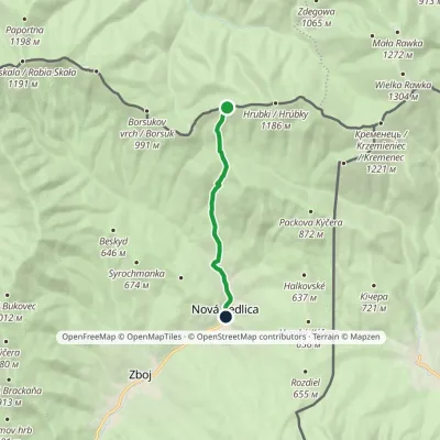 EasyOne-dayMarkedNová Sedlica ČierťažElevation profile390–1 075 m6.1 km≈ 1.5 h walking
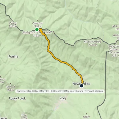 EasyOne-dayMarkedNová Sedlica WetlinaElevation profile390–1 189 m10.8 km≈ 2.5 h walking
© EEA (CC BY 4.0) · GMBA Mountain Inventory v2 (CC BY 4.0) · © OpenStreetMap contributors (ODbL)
