Eastern Carpathians
Східні Карпати · Carpații Orientali
The Eastern Carpathians are the longest part of the arc: from the Low Beskids and the Bieszczady through the Ukrainian Carpathians into Romania. Here are Chornohora with Hoverla, the stone-strewn Gorgany, Svydovets and the Maramureș Mountains, and in Romania the Rodna, Călimani and Ceahlău. Mountain pastures (polonyny), shepherds' huts and long ridge walks define these mountains.
- Elevation
- 104–2,303 m
- Highest summit
- Pietrosul Rodnei, 2,303 m
- Area
- ≈ 54,182 km²
- Countries
- Ukraine, Romania, Poland, Slovakia
Ranges and massifs
On the map
Waymarked trails · 25
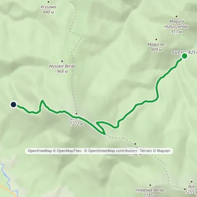 EasyOne-dayMarkedNature trail Suche Rzeki Smerek «Silver Fir»Elevation profile612–1 206 m8 kmascent 587 m≈ 3 h walking
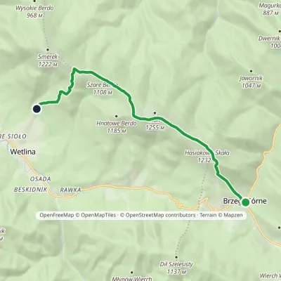 ModerateOne-dayMarkedNature trail «Globeflower» on Połonina WetlińskaElevation profile735–1 248 m10.3 kmascent 594 m≈ 4 h walking
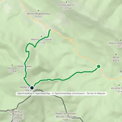 ModerateOne-dayMarkedWielka Rawka Tourist TrailElevation profile685–1 303 m8.8 kmascent 1 126 m≈ 4.5 h walking
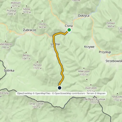 EasyOne-dayMarkedCisna Roztoki GórneElevation profile559–687 m8.1 kmascent 141 m≈ 2.5 h walking
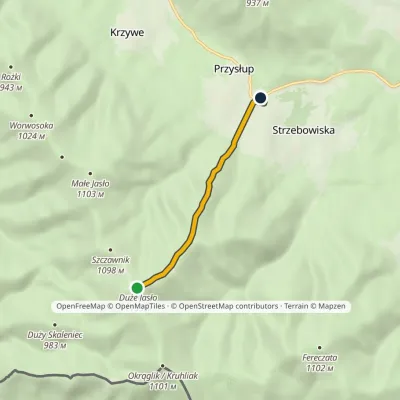 EasyOne-dayMarkedJasło Przysłup Pass (railway station)Elevation profile671–1 152 m3.9 km≈ 60 min walking
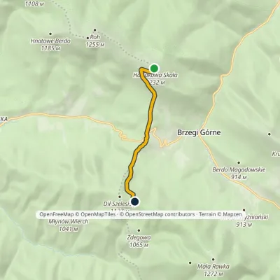 EasyOne-dayMarkedDział Chatka Puchatkavia Wyżna PassElevation profile869–1 223 m4.7 kmascent 240 m≈ 1.5 h walking
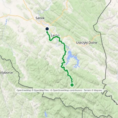 HardMulti-dayMarkedKrysowa ZagórzElevation profile306–935 m60.8 kmascent 1 503 m
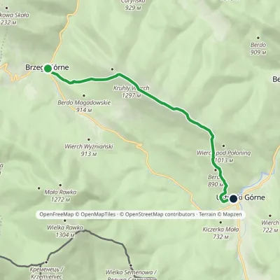 ModerateOne-dayMarkedNature trail «Common Beech» on Połonina CaryńskaElevation profile655–1 291 m8.6 kmascent 556 m≈ 3.5 h walking
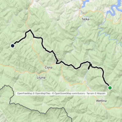 HardMulti-dayMarkedOrłowicz Pass JaworneElevation profile525–1 094 m33.9 kmascent 1 383 m≈ 11 h walking
© EEA (CC BY 4.0) · GMBA Mountain Inventory v2 (CC BY 4.0) · © OpenStreetMap contributors (ODbL)
