Żabi Koń
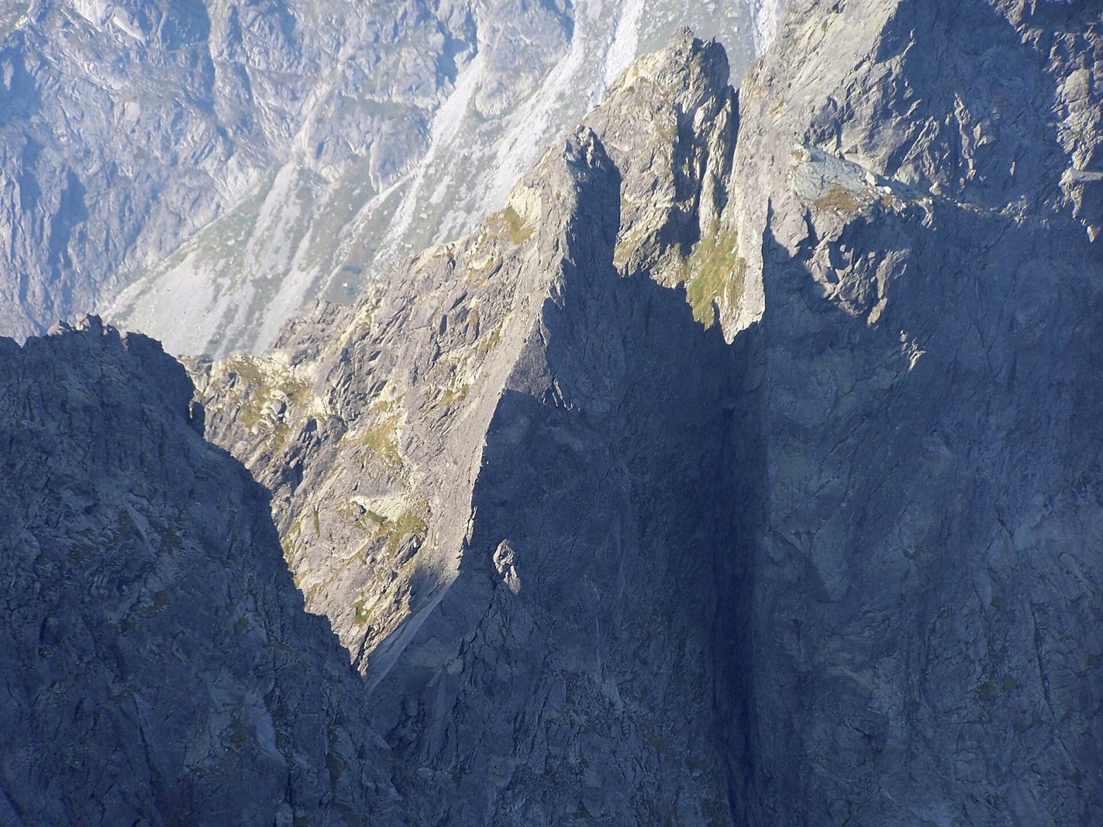
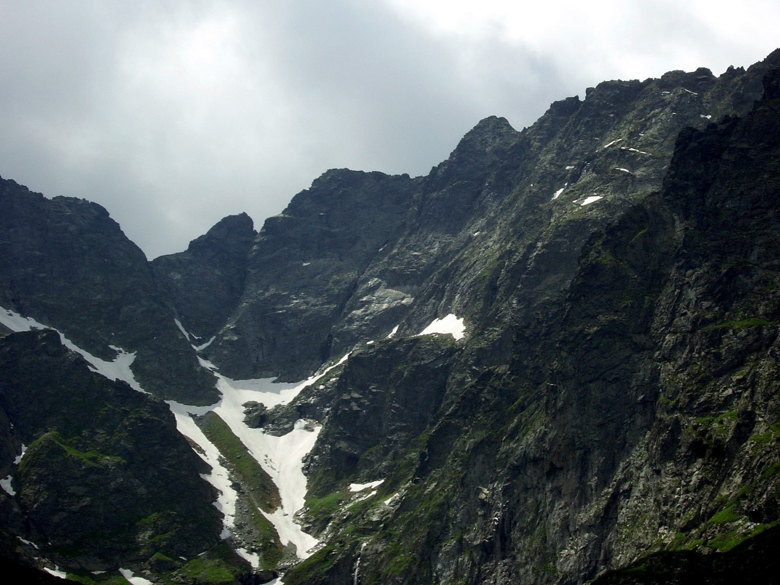
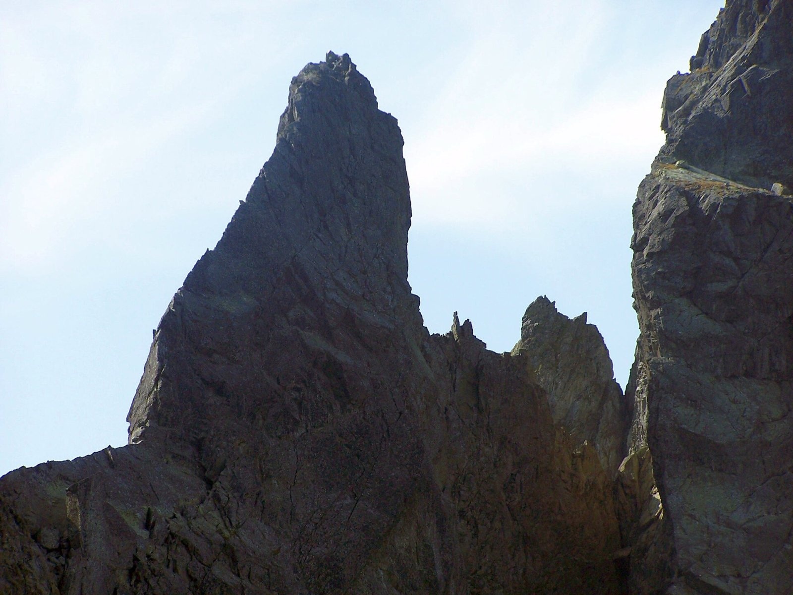
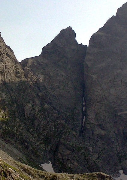
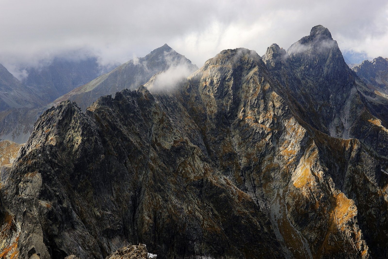
Żabi Koń (Slovak Žabí kôň, German Simonturm, Hungarian Simon-torony) is a 2291 m rock tower on the main ridge of the High Tatras, on the Polish–Slovak border. It is the lowest summit of the ridge separating the Polish Rybi Potok valley from the Slovak Žabia dolina Mengusovská, a branch of the Mengusovská valley. The tower stands between Rysy, separated by the Żabia Przełęcz pass (2224 m), and Żabia Turnia Mięguszowiecka on the Wołowy Grzbiet ridge, separated by Żabia Przełęcz Wyżnia (2249 m).
From the shores of Morskie Oko Żabi Koń looks like a squat granite fin, and seen along the ridge, from the east or west, like a sharp needle. Its south face is about 120 m high and the north face, above the Kocioł pod Rysami cirque, about 150 m. The east ridge splits into the steeper Upper Horse (about 45–50°) and the gentler Lower Horse, about 40 m long, which drops vertically to the north.
How to get there / trails
There is no marked hiking trail to Żabi Koń and no hikers' ascents; it is one of the few Tatra summits reserved for rock climbers. Eleven climbing routes lead to the top. The easiest is the east ridge from Żabia Przełęcz: grade II UIAA, about 30 min, although many climbers rate it higher because of the great exposure. The west ridge from Żabia Przełęcz Wyżnia is V, about 45 min; descending the west ridge is II–III with one or two abseils. The classic north face is V, about 2 h. The ridge is much easier to reach from the southern, Slovak side than from the northern, Polish side.
The most convenient bases are the PTTK huts at Morskie Oko and in the Roztoka valley. Żabi Koń itself is well seen from the red trail to Rysy, which passes nearby via Bula pod Rysami.
The view from the top
The sources do not describe the view from the summit. Two valleys lie below the tower: to the north the Rybi Potok valley with Czarny Staw pod Rysami and Morskie Oko, to the south the Žabia dolina Mengusovská with the Frog Tarns that gave the summit its name.
Nature and history
The tower was named in 1905 by Janusz Chmielowski and the guide Klimek Bachleda while descending from Rysy to Żabia Przełęcz with Jędrzej Marusarz Jarząbek. Bachleda called it a «horse», the climbers' term for very sharp, precipitous ridge sections, and Chmielowski added the adjective «Żabi» (Frog) after the nearby Frog Tarns. Bachleda declared that the man who would climb this tower had not yet been born. Yet the very next day, 12 September 1905, Katherine Bröske and Simon Häberlein reached the top via the south face; Häberlein's first name lives on in the German and Hungarian names. Slovak authors regard this ascent as the beginning of the era of sport climbing in the High Tatras.
The first winter ascent was made by Alfréd Grósz and Tibold Kregczy on 26 March 1913. The north face, then considered the hardest in the Tatras, was climbed on 16 June 1929 by Bronisław Czech, Wiesław Stanisławski and Lida Skotnicówna. In 1907 the Hungarian climber Jenő Wachter died below the summit, considered the first strictly mountaineering fatality in the Tatras.
Safety, season and rules
The summit lies on the boundary of the Tatra National Park (TPN) and Slovakia's TANAP. Climbing off the marked trails is allowed only to climbers under park rules or with a licensed mountain guide; on the Slovak side TANAP's high-mountain trails close every year for the winter and spring season. The ridge is extremely exposed, and the weather in the Rysy massif changes quickly. In the Polish Tatras help comes from TOPR: 985 or +48 601 100 300, general emergency number 112; in the Slovak Tatras from HZS: 18 300 (+421 18 300).
Photos: Adam Opioła, CC BY-SA 4.0; Krzysztof Dudzik-Górnicki (User:ToSter), CC BY 3.0; Adam Opioła, CC BY-SA 4.0; The original uploader was Makarczuk at Polish Wikipedia., CC BY-SA 3.0; Rezerwa58, CC BY 3.0; Krzysztof Dudzik-Górnicki (User:ToSter), CC BY-SA 3.0; Krkavec, Public domain — Wikimedia Commons.
Getting there from Ukraine
Border crossings
- Krakovets – Korczowa — road, 24/7
- Shehyni – Medyka — road, 24/7 Pedestrian crossing is not confirmed by the Ukrainian border service — check dpsu.gov.ua before the trip.
- Smilnytsia – Krościenko — road, 24/7
- Hrushiv – Budomierz — road, 24/7
- Mostyska – Przemyśl (rail) — rail, 24/7
By car
Lviv – Zakopane ≈421 km, ≈5 h 10 min without border queues. Route: M-10 Lviv – Krakovets → Krakovets – Korczowa checkpoint → A4 motorway (Rzeszów – Tarnów – Kraków) → Kraków southern bypass → S7/DK7 → DK47 ('Zakopianka') via Nowy Targ → Zakopane. The A4 Katowice – Kraków section (Balice and Mysłowice toll plazas) is tolled, but this route does not use it. In summer and at weekends the DK47 near Zakopane is often congested.
Checked 23.10.2026; border crossing hours and timetables change — check before you travel.
Location on the map
Water and shelter nearby
- Hut under Rysy710 m · Standing · 2 250 m
- Spring below Mengusovský Volovec1.1 km · Not verified · 1 977 m
- Spring below Kazalnica Mięguszowiecka1.3 km · Not verified · 1 884 m
- Spring below Apostoły2.1 km · Not verified · 1 411 m
- Rumanov potok Spring2.2 km · Not verified · 1 934 m
- Spring below Zlomisková veža (south-east slope), 1 861 m2.4 km · Not verified · 1 861 m
- Spring below Zlomisková veža (south-east slope), 1 836 m2.5 km · Not verified · 1 836 m
- Spring below Zlomisková veža (south-east slope), 1 835 m2.5 km · Not verified · 1 835 m
- Spring below Ostrva (north slope)2.6 km · Not verified · 1 634 m
- Morskie Oko Hut2.6 km · Standing · 1 410 m
- Popradské Pleso Mountain Hotel2.6 km · Standing · 1 494 m
- Spring below Zadná Ostrva (north slope), 1 514 m2.6 km · Not verified · 1 514 m
- Spring below Zadná Ostrva (north slope), 1 509 m2.7 km · Not verified · 1 509 m
- Majláth Hut2.7 km · Standing · 1 500 m
- Spring below Zadná Ostrva (north slope), 1 506 m2.7 km · Not verified · 1 506 m
- Spring below Ostrva (north-west slope)2.7 km · Not verified · 1 559 m
Comments
Trails nearby
All trails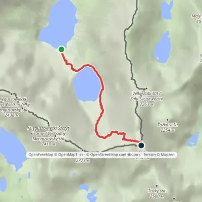 HardOne-dayMarkedMorskie Oko Rysyvia Czarny StawElevation profile1 401–2 501 m3.4 kmascent 1 100 m≈ 3 h walkingunder 1 km from Żabi Koń
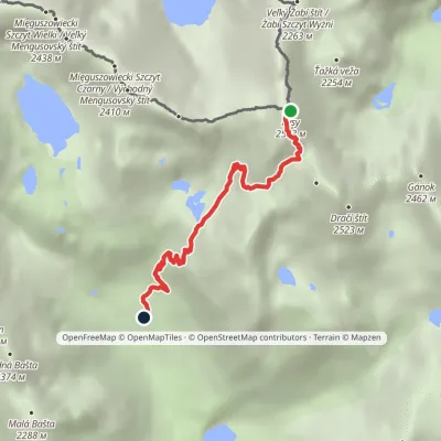 HardOne-dayMarkedJunction at Žabí potok RysyElevation profile1 626–2 501 m4.3 kmascent 875 m≈ 3 h walkingunder 1 km from Żabi Koń
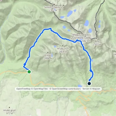 HardTwo-dayMarkedTri studničky, old forester's lodge Popradské Pleso, stopElevation profile1 105–2 142 m21.4 kmascent 1 142 m≈ 7.5 h walking1.4 km from Żabi Koń
Nearby attractions
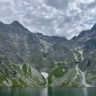 PeakRysyaltitude 2 501 munder 1 km from Żabi Koń2 trails to the topRysy (German Meeraugspitze, Hungarian Tengerszem-csúcs) is a mountain on the main ridge of the High Tatras, on the border between Poland and Slovakia.
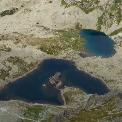 LakeŽabie plesá Mengusovské (Frog Tarns)Vyšné Hágyunder 1 km from Żabi KońŽabie plesá Mengusovské (the Frog Tarns) are three glacial lakes in Kotlina Žabích plies, the upper storey of Mengusovská dolina in the Slovak High Tatras, within...
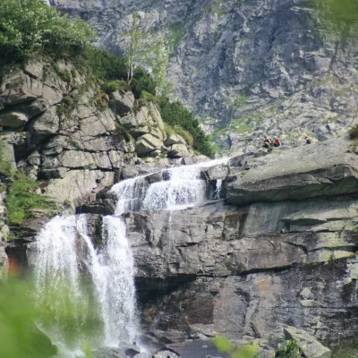 WaterfallCzarnostawiańska Siklawa (Black Lake Falls)1.4 km from Żabi KońCzarnostawiańska Siklawa (Black Lake Falls) is a cascading waterfall in the Polish High Tatras, in the Rybi Potok Valley (Dolina Rybiego Potoku) inside Tatra National...
Craft nearby
All craft places Cheese dairies & pasturesShepherd's Hut on Rusinowa PolanaBrzegi9.4 km from Żabi KońRusinowa Polana is one of the most beautiful mountain glades in the Polish Tatras, and from May to October it is home to the bacówka (shepherd's hut) of baca Stanisław...
 Water parks & thermal poolsClimatic spas of the High Tatras: Nový Smokovec, Polianka, KotlinaVysoké Tatry11 km from Żabi KońNový Smokovec is the best known of the climatic spas of the High Tatras. It grew up in a spruce forest at about 1010 m, south-west of Starý Smokovec, with which it...
 Cheese dairies & pasturesFurtek's Shepherd's Huts, Kuźnice and KalatówkiZakopane13 km from Żabi KońAbove Kuźnice — the southern edge of Zakopane where most hikes into the Western and High Tatras begin — the flocks are tended by baca Andrzej Staszel, nicknamed "Furtek".
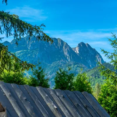 Koliby & Hutsul cuisineBąkowo Zohylina Wyźnio Highland TavernZakopane15 km from Żabi KońBąkowo Zohylina Wyźnio is a regional highland tavern in Zakopane housed in a wooden "szałas" (shepherd-hut-style building) with a view of the Tatras.
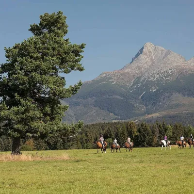 Horse ridingKone vo Východnej: horse rides below the TatrasVýchodná15 km from Żabi KońKone vo Východnej (“Horses in Východná”) is a small family horse farm on the meadows above the village of Východná in upper Liptov, with a sweeping view of the High...
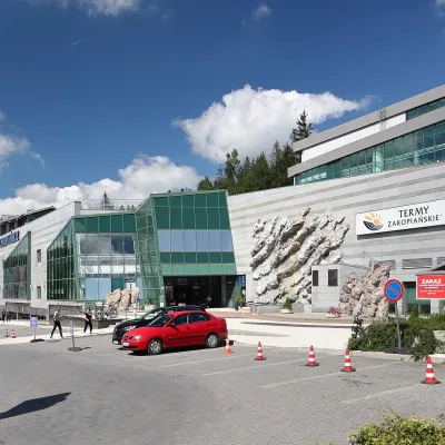 Water parks & thermal poolsTermy Zakopiańskie (Aqua Park Zakopane)Zakopane15 km from Żabi KońTermy Zakopiańskie is a thermal water park right in Zakopane, on Jagiellońska Street, only a kilometre from Krupówki.
