Žabie plesá Mengusovské (Frog Tarns)
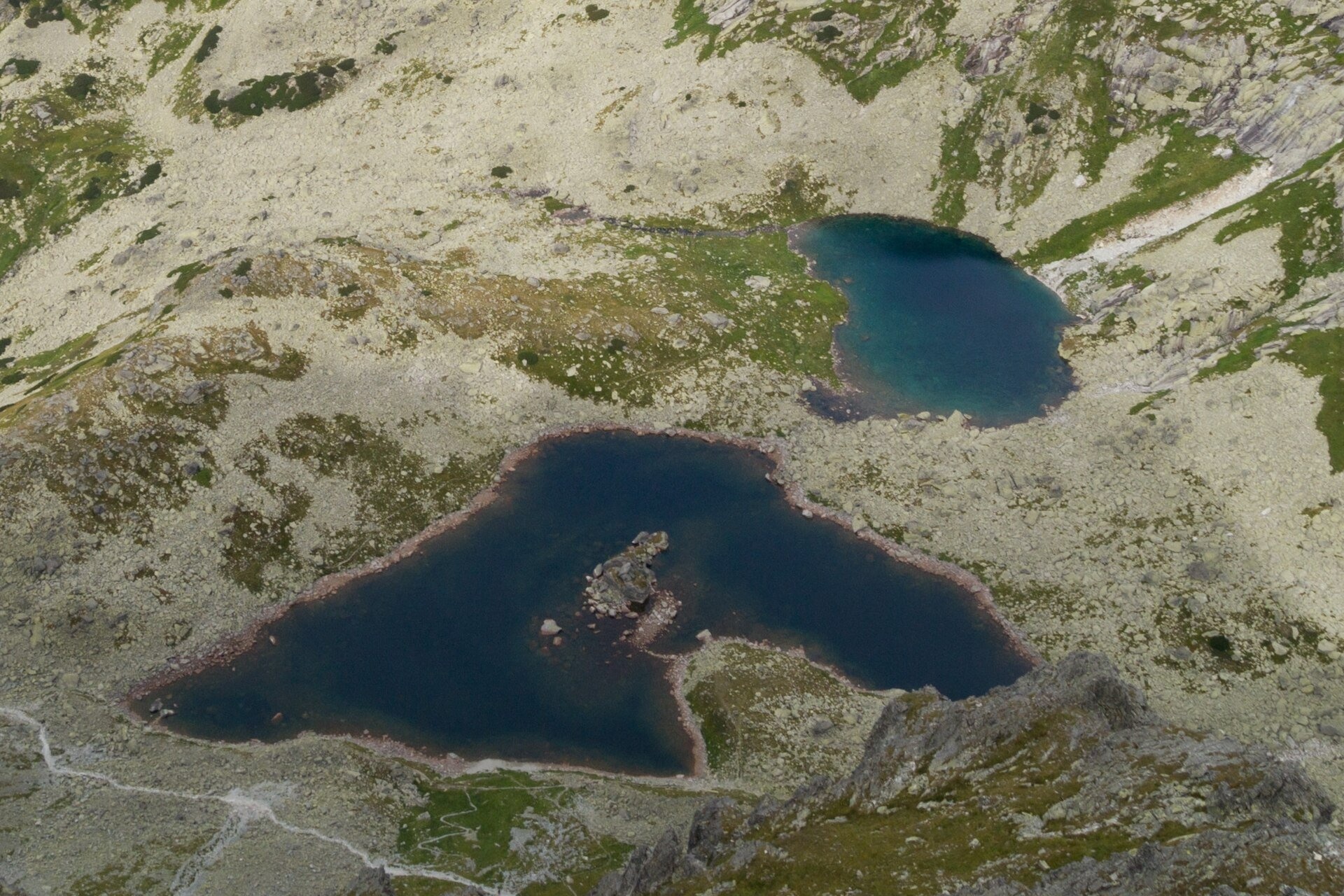
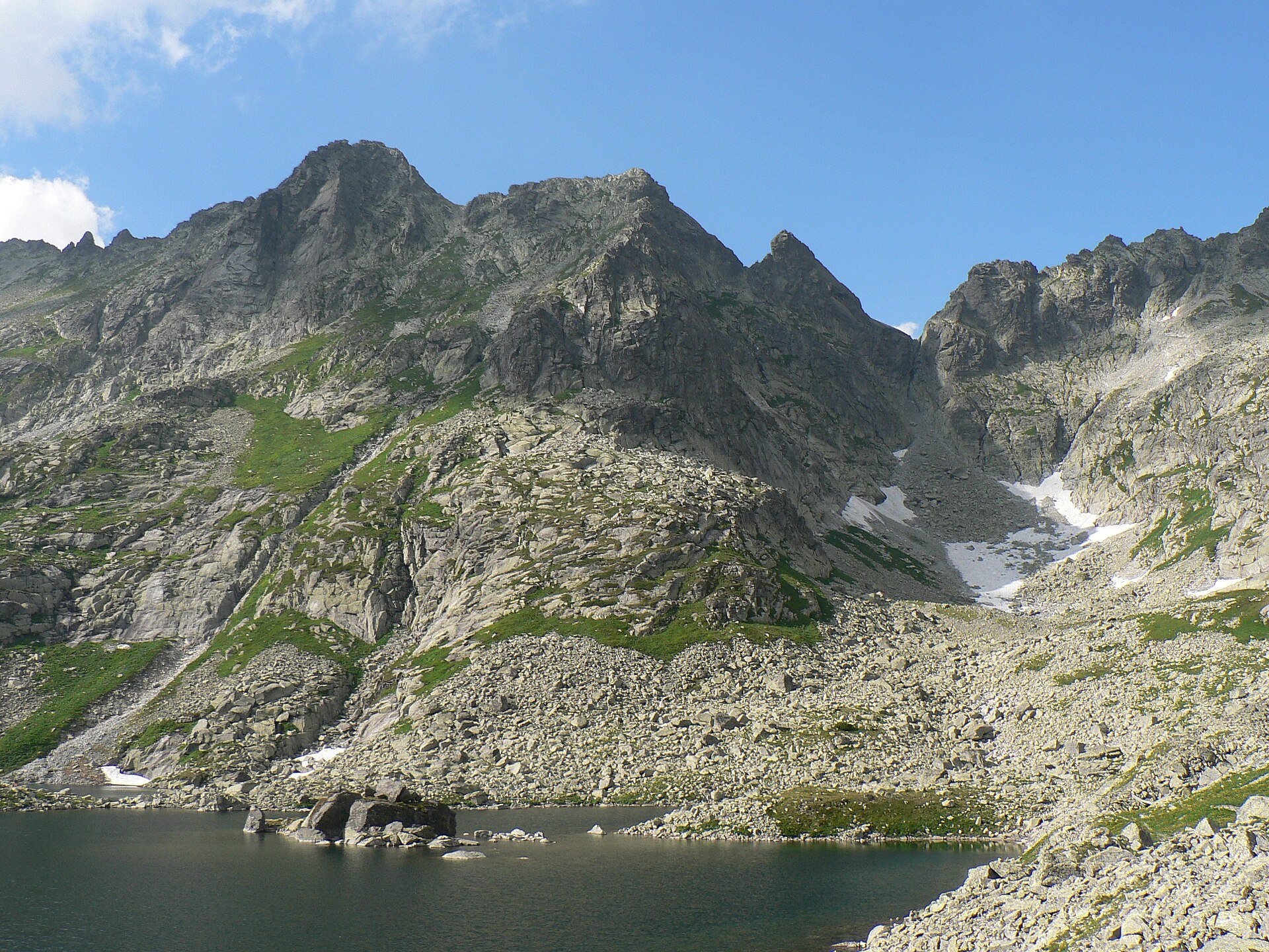
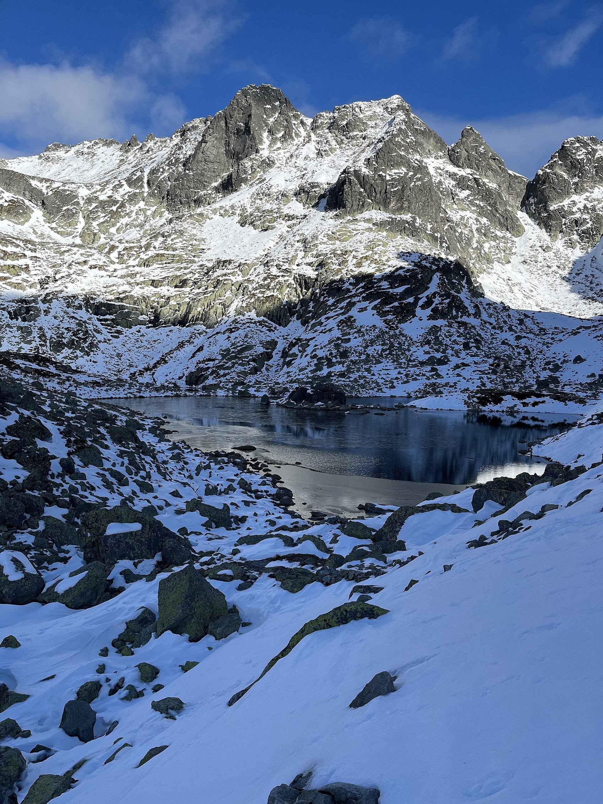
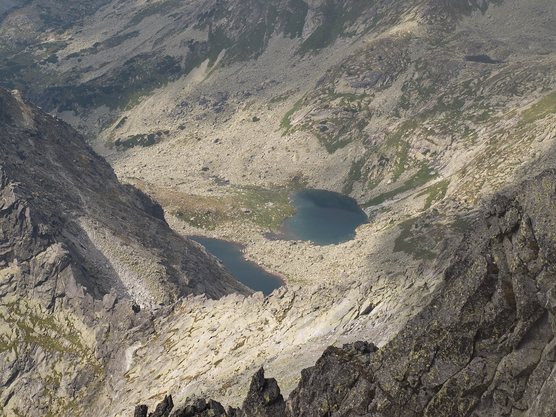
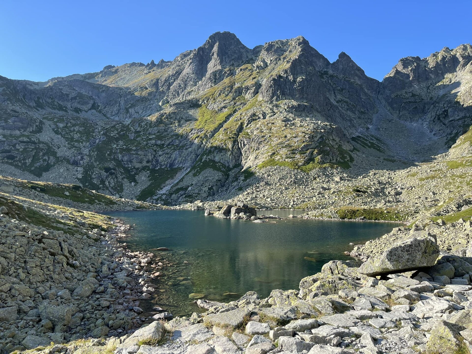
Žabie plesá Mengusovské (the Frog Tarns) are three glacial lakes in Kotlina Žabích plies, the upper storey of Mengusovská dolina in the Slovak High Tatras, within Tatra National Park (TANAP). The basin lies right below Rysy: to the north it is closed by Volí chrbát, the ridge on the Polish border with Žabí kôň, Žabia veža and Volia veža; to the west by Mengusovský Volovec; and to the east by the Kôpky ridge.
The largest is Veľké Žabie pleso: according to measurements by TANAP staff in 1962–1967 it covers 2.65 ha, measures 287 by 170 m, is about 7 m deep and lies at 1,919–1,921 m. Next to it lies Malé Žabie pleso — smaller (1.19 ha) but the deepest in the basin at 12.6 m. The two were once a single lake; after the water level dropped they were separated by a stone bar that rises only a few dozen centimetres above the surface. Žabí potok flows out of Malé pleso into the Hincov potok. The third and smallest, Vyšné Žabie pleso, lies at about 2,045 m. The name comes from a rocky islet in Veľké pleso whose outline reminds some people of a frog; the other tarns took their names from it.
Interestingly, in 1895 the engineer Jozef Pfinn proposed extending the rack railway from Štrbské Pleso all the way to the Frog Tarns and building a cable car from there to Rysy. The project was never carried out, because of opposition from the hiking community and lack of money.
What to see and do
- The "frog" islet in Veľké pleso — best seen from above, from the path to Rysy.
- A panorama of the basin — Žabí kôň and Rysy rise above the water, and the jagged Bašty ridge is well seen from the tarns.
- Chata pod Rysmi (2,250 m) — above the tarns, below the Váha saddle: the highest mountain hut in Slovakia, open only from 1 June to 31 October. It opened in 1933 and was destroyed by avalanches several times; since the 2010–2013 reconstruction the building is protected against them.
How to get there
The Frog Tarns lie on the red Junction at Žabí potok – Rysy route. From Štrbské Pleso the red and blue trails lead past Popradské pleso to the junction above Žabí potok — 1 h 45 min (1 h 35 min down). From there the red trail climbs the Žabia dolina past Veľké Žabie pleso to Chata pod Rysmi — 1 h 45 min up, 1 h 15 min down; one more hour takes you to the summit of Rysy. Malé pleso lies a little off the path but is clearly visible. From Štrbské Pleso to the tarns it is about 600 m of ascent and several hours of walking: a real high-mountain hike, and above the tarns the path climbs the rocky slopes of Dolinka pod Váhou. Children and people without mountain experience should rather stop at Popradské pleso.
Season and safety
The red trail from the junction above Žabí potok via Chata pod Rysmi to Rysy is closed from 1 November to 31 May (§ 4 of the TANAP Visitor Regulations, decree 26/2023), so you can visit the tarns from 1 June to 31 October. Entry to TANAP is free. You may walk only on marked trails and only in daylight; dogs are not allowed on the red trail to Rysy, and drones are banned without a permit. Snow often lingers in the basin until June, and the slopes above Chata pod Rysmi are avalanche-prone. Mountain Rescue Service HZS: 18 300, general emergency number 112.
Nearby
- Popradské pleso and the Symbolic Cemetery — on the way from Štrbské Pleso.
- Veľké Hincovo pleso — the largest lake of the Slovak Tatras, in the neighbouring valley.
- Rysy — the summit above the basin.
- Czarny Staw pod Rysami — on the Polish side of the ridge.
Official website: tanap.sk
Photos: Rafał Kozubek, CC BY-SA 3.0, Wikimedia Commons; Krzysztof Dudzik-Górnicki (User:ToSter), CC BY-SA 3.0, Wikimedia Commons; Punteador, CC BY-SA 4.0, Wikimedia Commons; Rafik k, CC BY-SA 4.0, Wikimedia Commons; Andrej-airliner, CC BY 4.0, Wikimedia Commons; Michal Klajban, CC BY-SA 3.0, Wikimedia Commons.
Getting there from Ukraine
Border crossings
- Uzhhorod – Vyšné Nemecké — road, 24/7
- Malyi Bereznyi – Ubľa — road, 24/7 For cars and buses; pedestrians not confirmed by the Ukrainian border service, lorries up to 3.5 t.
- Mali Selmentsi – Veľké Slemence (pedestrian) — pedestrian, 09:00–21:00 Kyiv time Pedestrians and cyclists only; inconvenient for the Tatras without onward transport.
- Chop – Čierna nad Tisou (rail) — rail, 24/7
By car
Uzhhorod – Poprad ≈195 km, ≈2 h 55 min without queues: Uzhhorod – Vyšné Nemecké checkpoint → I/19 via Sobrance and Michalovce → Košice → D1 motorway via Prešov → Poprad (Liptovský Mikuláš is ≈56 km further on the D1, total ≈249 km). Košice – Poprad ≈112 km. The D1 requires an e-vignette (eznamka.sk). Note: from Lviv the fastest way to Poprad is through Poland — Krakovets – A4 – Kraków – Zakopane – Łysa Polana ≈468 km (≈5 h 50 min); via Uzhok and Malyi Bereznyi ≈419 km but slower (≈6 h 40 min). Zakopane – Poprad ≈69 km, Zakopane – Liptovský Mikuláš ≈80 km.
Checked 23.10.2026; border crossing hours and timetables change — check before you travel.
Location on the map
Comments
Trails nearby
All trails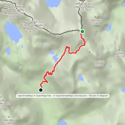 HardOne-dayMarkedJunction at Žabí potok RysyElevation profile1 626–2 501 m4.3 kmascent 875 m≈ 3 h walkingunder 1 km from Žabie plesá Mengusovské (Frog Tarns)
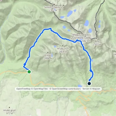 HardTwo-dayMarkedTri studničky, old forester's lodge Popradské Pleso, stopElevation profile1 105–2 142 m21.4 kmascent 1 142 m≈ 7.5 h walkingunder 1 km from Žabie plesá Mengusovské (Frog Tarns)
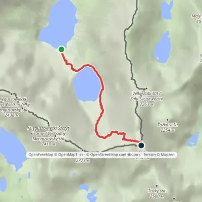 HardOne-dayMarkedMorskie Oko Rysyvia Czarny StawElevation profile1 401–2 501 m3.4 kmascent 1 100 m≈ 3 h walkingunder 1 km from Žabie plesá Mengusovské (Frog Tarns)
Nearby attractions
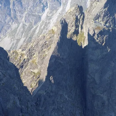 PeakŻabi Końaltitude 2 291 munder 1 km from Žabie plesá Mengusovské (Frog Tarns)Żabi Koń (Slovak Žabí kôň, German Simonturm, Hungarian Simon-torony) is a 2291 m rock tower on the main ridge of the High Tatras, on the Polish–Slovak border.
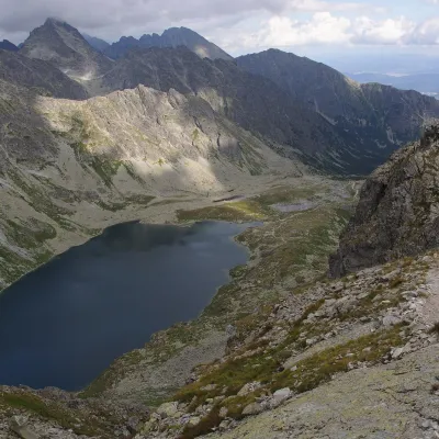 LakeVeľké Hincovo plesoVyšné Hágy1.5 km from Žabie plesá Mengusovské (Frog Tarns)Veľké Hincovo pleso is the largest and deepest glacial lake in the Slovak part of the Tatras and in all of Slovakia.
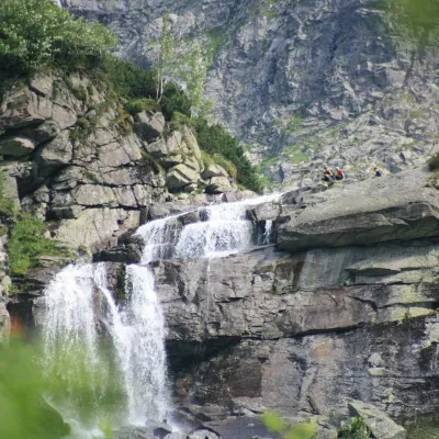 WaterfallCzarnostawiańska Siklawa (Black Lake Falls)2.1 km from Žabie plesá Mengusovské (Frog Tarns)Czarnostawiańska Siklawa (Black Lake Falls) is a cascading waterfall in the Polish High Tatras, in the Rybi Potok Valley (Dolina Rybiego Potoku) inside Tatra National...
Craft nearby
All craft places Cheese dairies & pasturesShepherd's Hut on Rusinowa PolanaBrzegi10 km from Žabie plesá Mengusovské (Frog Tarns)Rusinowa Polana is one of the most beautiful mountain glades in the Polish Tatras, and from May to October it is home to the bacówka (shepherd's hut) of baca Stanisław...
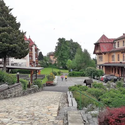 Water parks & thermal poolsClimatic spas of the High Tatras: Nový Smokovec, Polianka, KotlinaVysoké Tatry11 km from Žabie plesá Mengusovské (Frog Tarns)Nový Smokovec is the best known of the climatic spas of the High Tatras. It grew up in a spruce forest at about 1010 m, south-west of Starý Smokovec, with which it...
 Cheese dairies & pasturesFurtek's Shepherd's Huts, Kuźnice and KalatówkiZakopane13 km from Žabie plesá Mengusovské (Frog Tarns)Above Kuźnice — the southern edge of Zakopane where most hikes into the Western and High Tatras begin — the flocks are tended by baca Andrzej Staszel, nicknamed "Furtek".
 Horse ridingKone vo Východnej: horse rides below the TatrasVýchodná14 km from Žabie plesá Mengusovské (Frog Tarns)Kone vo Východnej (“Horses in Východná”) is a small family horse farm on the meadows above the village of Východná in upper Liptov, with a sweeping view of the High...
 Koliby & Hutsul cuisineBąkowo Zohylina Wyźnio Highland TavernZakopane15 km from Žabie plesá Mengusovské (Frog Tarns)Bąkowo Zohylina Wyźnio is a regional highland tavern in Zakopane housed in a wooden "szałas" (shepherd-hut-style building) with a view of the Tatras.
 Water parks & thermal poolsTermy Zakopiańskie (Aqua Park Zakopane)Zakopane16 km from Žabie plesá Mengusovské (Frog Tarns)Termy Zakopiańskie is a thermal water park right in Zakopane, on Jagiellońska Street, only a kilometre from Krupówki.
