Mountain shelter
Morskie Oko Hut
Poland · High Tatras range · 1 410 m


- Photo: Cybularny · CC BY 4.0 · Wikimedia Commons
- Photo: Marcel Maslyk · CC BY-SA 4.0 · Wikimedia Commons
- Photo: Jakub Hałun · CC BY-SA 4.0 · Wikimedia Commons
- Photo: Jar.ciurus · CC BY-SA 3.0 pl · Wikimedia Commons
Condition
StandingNo hikers’ reports yet. According to open data the hut is open — check its website or call before setting out.
Last edited on the OSM map 31.08.2026
- 1 410 m
- Sleeps up to 79
- Meals served
Practical info
- Run by: PTTK
- Local name: Schronisko PTTK nad Morskim Okiem im. Stanisława Staszica
- Food: Kitchen or buffet
- Built: 1908
- Contacts: schroniskomorskieoko.pl
About
The Morskie Oko Hut sits on a glacial moraine beside the most famous lake of the Tatras, in Dolina Rybiego Potoku in the High Tatras, at 1,410 m. It consists of two buildings: the Old Hut, a 19th-century former coach house and the oldest working hut in the Polish Tatras, and the New Hut built by the Tatra Society in 1908. Together they have 79 beds, a restaurant, a bar and a TOPR rescue station. The building is a listed monument.
The first shelter by the lake was built as early as 1827; later the Tatra Society named its hut after Stanisław Staszic.
Access is by the asphalt road from Palenica Białczańska, closed to private cars. From the hut the red trail circles the lake and climbs past Czarny Staw to Rysy, the blue trail leads to the Five Polish Ponds valley and the yellow one to Szpiglasowa Przełęcz. Mountain rescue: 985 or +48 601 100 300.
On the map
Coordinates: 49.20146, 20.07128
How to get there
from the Palenica Białczańska car park along the asphalt road (partly the red trail), about 2 h 20 min.
Trails nearby
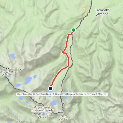 EasyOne-dayMarkedPalenica Białczańska Morskie OkoElevation profile993–1 410 m7.8 kmascent 417 m≈ 3 h walking
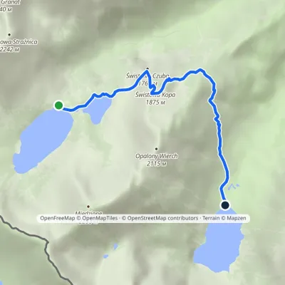 ModerateOne-dayMarkedHut in the Valley of Five Lakes Hut at Morskie OkoElevation profile1 398–1 875 m4.6 kmascent 213 m≈ 1.5 h walking
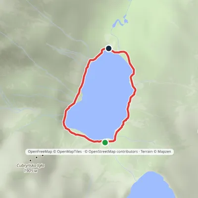 EasyOne-dayMarkedAround Morskie OkoElevation profile1 395–1 423 m2.5 kmascent 23 m≈ 45 min walking
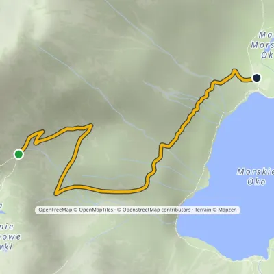 ModerateOne-dayMarkedPod Mnichem Junction to Szpiglasowa PassElevation profile1 409–1 794 m2.3 kmascent 8 m≈ 30 min walking
Report the condition
Been here recently? Tell us what you saw and add photos — your report appears on the page right away with today’s date.
