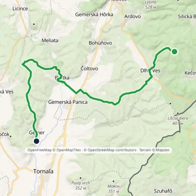
Tornaľa station – Ružový kopec, state border
Trail map
Route, springs and shelters: © OpenStreetMap contributors (ODbL) · elevation: Copernicus DEM © DLR e.V., © Airbus DS · Data & licences
About the trail
Route Tornaľa station – Ružový kopec, state border. Has blue marking (regional route №2641, KST). Waymarking data: OpenStreetMap (© OpenStreetMap contributors, ODbL).
Officially marked regional tourist route No. 2641. Marking is blue, sign — horizontal stripe on a white background. Marked and maintained by: KST. Length of the route — 15.6 km. Location: mountain range — Slovak Rudohorie, Slovakia.
At a glance
A one-day route of 15.6 km with 85 m of ascent and 239 m of descent from Tornaľa station to Ružový kopec, state border. Estimated walking time: about 4 h, not counting stops. Difficulty: moderate. Waymarking: blue.
How we estimate walking time
By Naismith's rule, used by mountain clubs and guidebooks: an average hiker walks 4 km an hour on the flat and needs one more hour for every 600 m of ascent. For this trail: 15.6 km ÷ 4 = 3.9 h + 85 m ÷ 600 = 0.1 h, about 4 h of walking in total.
- Breaks, snacks and photos: add 20–30 %.
- A heavy pack, children, snow, a wet path or windfall add more; a long steep descent also takes time, especially for the knees.
- The height of the Carpathians (up to 2,655 m) hardly changes the pace — on the ridges wind, fog and weather slow you down.
- Limits: up to 9 h is one day; 9–13 h is a very long day or two; over 13 h means several days with overnight stays.
Route stages
- 0–16 kmGentle ups and downs at 180–380 m
Steepest kilometre: km 6–7, a descent of 100 m (≈10%).
Water and overnight stays
Our map shows no springs near the trail — bring your own water (at least 2.5 l).
When to go
The route can be walked most of the year; it is most comfortable from April to October.
Getting there
Start: Tornaľa station. This is a one-way route: the finish is 13 km from the start in a straight line, so plan your way back in advance.
FAQ
- How long does the route take?
- Estimated walking time: about 4 h, not counting stops.
- Is there water on the route?
- Our map shows no springs near the trail — bring your own water (at least 2.5 l).
Comments and trail condition
Travellers’ experience: reports, tips, questions.
No one has reported on this trail yet. Been here lately? Tell others what it is like now.
Wildlife along the route
All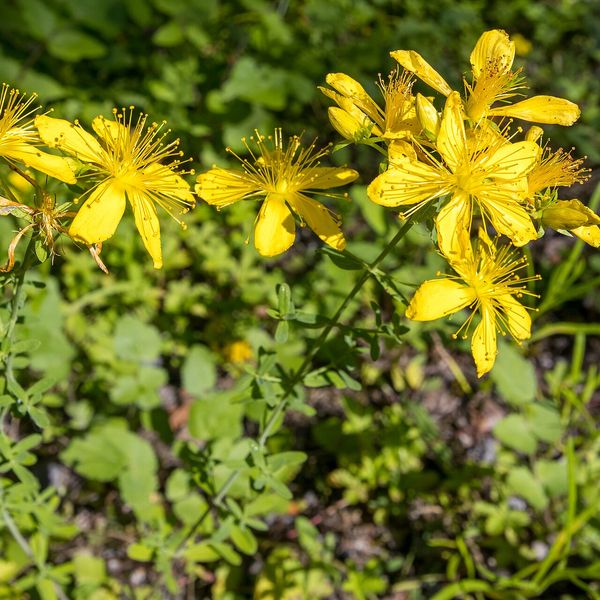
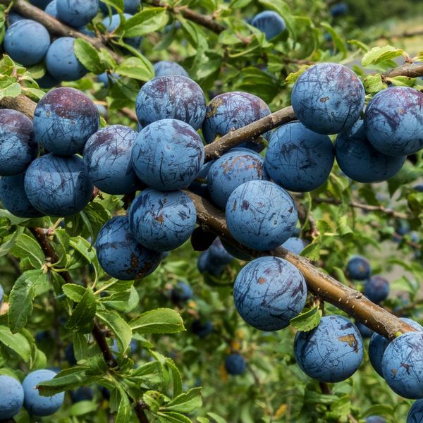
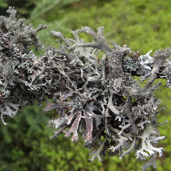
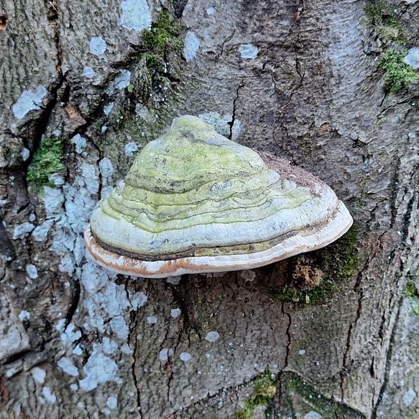
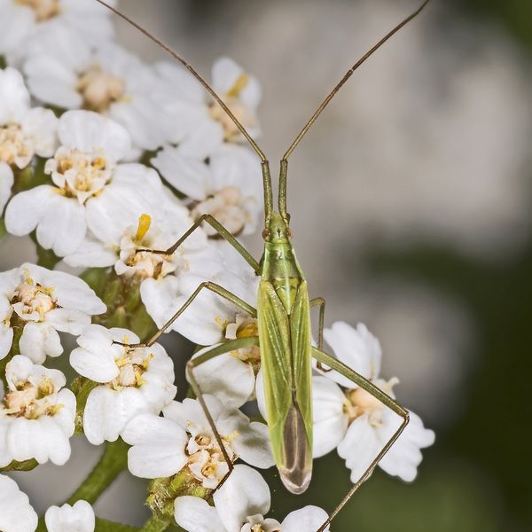
Based on naturalists’ records nearby (GBIF, iNaturalist), matched by altitude, habitat and season. Sightings are not guaranteed.
Trails nearby
All trails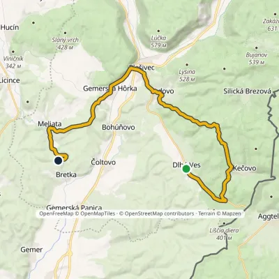
Craft nearby
All craft places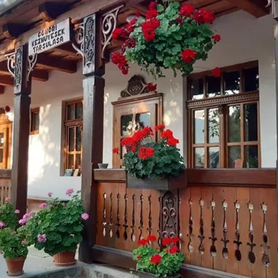 Markets & fairsGemer Craft Fair at Krásnohorská Dlhá Lúka below Krásna HôrkaKrásnohorská Dlhá Lúka18 km from the trailKrásnohorská Dlhá Lúka is a village below Krásna Hôrka castle, a few kilometres from Rožňava. In 2002 the Association of Gemer Craftsmen (Združenie gemerských...
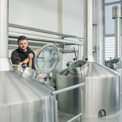 Craft beer & breweriesKaltenecker Brewery, Rožňava: Gemer craft beer from the sourceRožňava20 km from the trailThe modern Kaltenecker brewery was founded in 1997, and from the start it took a different path from the big breweries of the day: instead of one-size-fits-all beer, a...
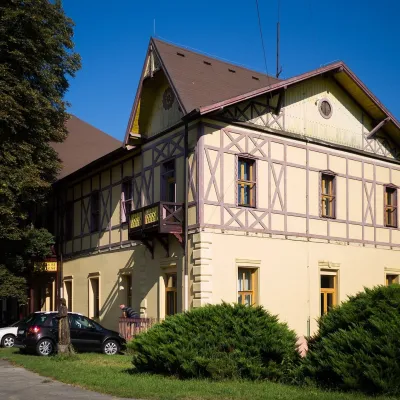 Water parks & thermal poolsČíž spa: iodine-bromine water, baths and summer poolsČíž24 km from the trailČíž is a spa with natural iodine-bromine water in southern Gemer, in a village in the Rimava basin not far from Rimavská Sobota, at about 170 m.
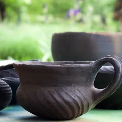 Crafts & workshopsHáj Pottery: wheel-thrown ceramics and wood-fired kilns in HájHáj32 km from the trailAt the back of an old farmhouse here is Háj Pottery (Hájske hrnčiarstvo), run by Amália Holíková. She throws utility ware on the wheel and models it by hand, but her...
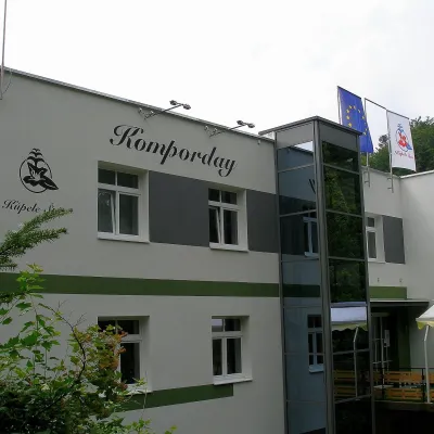 Water parks & thermal poolsŠtós spa: climatic cure, speleotherapy and poolŠtós35 km from the trailKúpele Štós is a climatic spa in south-eastern Slovakia, in the settlement of Štós-kúpele a few kilometres north of the mining village of Štós, where the Volovské...
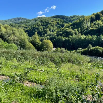 Eco farmsČučoriedková záhrada: pick-your-own blueberries and aronia juiceRatkovské Bystré36 km from the trailHere in 2010 the owners’ family planted the first Canadian blueberry bushes on a small plot — and gradually grew them into the Čučoriedková záhrada (Blueberry Garden).
