Biloberizka


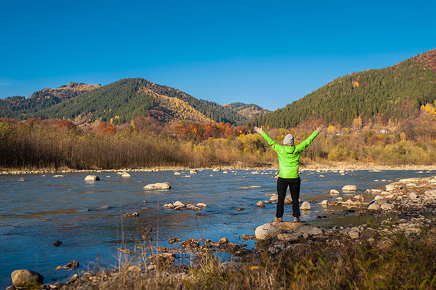
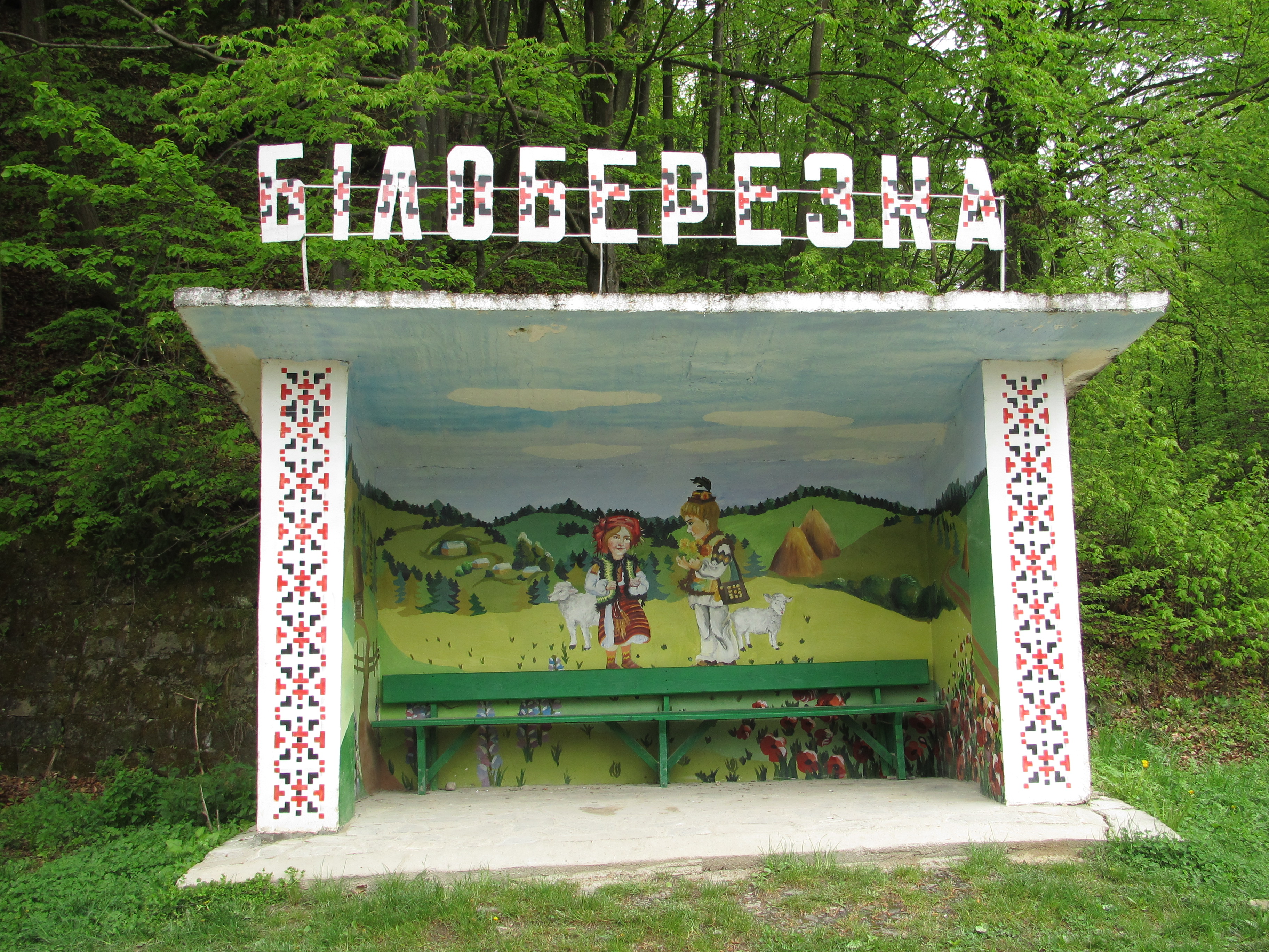
Biloberizka is a village in Ukraine, the center of the Biloberizka rural territorial community of the Verkhovyna district of Ivano-Frankivsk region. One of the largest villages in the district is located on the left bank of the Cheremosh River. The territory covers 20 km². The population is over 1600 people. Biloberizka is located at a distance of 33 km from the district center. The history of the village dates back to the XVII century. The village is worth visiting the Church of the Intercession of the Blessed Virgin Mary (1844).
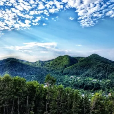
There are the highest peaks of the Ukrainian Carpathians, where the White River and the Black River flow. Wild garlic grows along the banks and drops its white flowers into the foamy stream, so the river, which is created by the White and Black reservoirs, was once called Cheremosh. The picturesque Verkhovyna village of Biloberizka, which is located on the banks of the Cheremosh, fits perfectly into the wreath of other villages that bear names derived from certain tree species: Krasnoillia, Iltsi, Yaseniv, Yavoriv, Bereziv...
The intensive settlement of Verkhovyna region dates back to the seventeenth and eighteenth centuries. The massive development of these lands is explained by the influx of fugitives from the lowlands of Prykarpattia who did not want to tolerate feudal exploitation, and therefore went to the mountains and settled there.
At that time, the Carpathian mountains and meadows became a stronghold of the Carpathian opryshky. Under the protection of the vigilantes, the newcomers, without fear of being turned back, began to start their own farms, laying the foundation for new villages. In addition, the free valleys of the White and Black Cheremosh had good pastures for cattle breeding.
Thus, natural conditions and social oppression led to the emergence of new villages, including Biloberizka. Thus, Biloberizka was founded in 1669.
The legend of Biloberizka
It is said that in ancient times, an ancient wise and kind man lived in the mountains near the stormy Cheremosh. He had two daughters, Rada and Zrada. Rada, who was even more intelligent than her father, like him, always did only good to people - advising them on how to do this or that better, helping them out of trouble. Betrayal, on the other hand, was insidious, secretly doing evil.
Rumors about the beauty and wisdom of the Council spread through the near and far neighborhoods, until they reached the king of Hungary. He decided to take her as his wife at any cost. He sent his servants to bring Rada to Hungary. When the Hungarians refused, they persuaded Zrada to help them get her sister. She willingly agreed to do so. She lured Rada into a trap, promising that she would show her something very interesting from a high cliff. When Rada saw the relentless and powerful strangers who wanted to capture her, she threw herself off the cliff onto the sharp stones below and fell to her death, choosing death over infamy.
Afraid of her father's anger, Zrada changed her appearance and went into hiding, and still wanders among people. And the unfortunate father buried his beloved Rada near the Cheremosh River, abundantly watering her grave with tears. And a white birch tree grew on that grave, attracting attention from afar with its beauty and unusual for a tree bark, symbolizing the girl's purity and chastity. People often came here, and later began to settle here, near the white birch. And in memory of the beautiful girl, this village was named Biloberizka.
On the high mountains that surround Biloberizka from all sides, along with many other tree species, there are indeed many birches. There are even whole birch groves. Obviously, one of the local tracts, which was densely covered with birch trees, was once called "white birches," which was formed into one word - Biloberizka.
And old-timers say that on the site of the village there were forests with a significant predominance of birches, which were cut down by the first settlers and used for housing construction.
Mountain Search and Rescue Service, Verkhovyna village, +38 (03432) 2-19-41, +38 (067) 342-04-96.
Comments
Travellers’ experience: reports, tips, questions.
No one has written here yet. Be the first — your experience helps others.
What's nearby
What to visit
Landmarks, museums and places of interest near Biloberizka.
 SightThe written stoneBukovets4 km from the centre
 ChurchChurch of the Nativity of the Blessed Virgin Mary, PetrashiPetrashi6.5 km from the centreYou will definitely be attracted by the beautiful slopes of the Carpathian Mountains around you, and it will be interesting to visit the ancient wooden church of the...
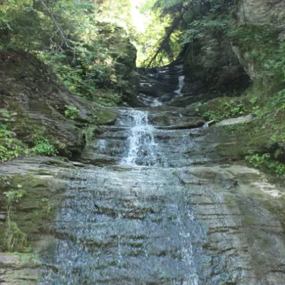 WaterfallSrednyi Huk waterfall (Bukovyna waterfalls)Roztoky · Pokuttia-Bukovina Carpathians7 km from the centreheight 10 m425 m above sea levelThe Srednyi Huk waterfall is one of the Bukovyna waterfalls located in the Chernivtsi region in western Ukraine.
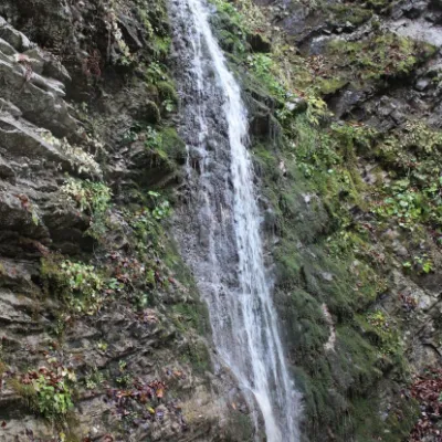 WaterfallSych waterfall (Bukovinian waterfalls)Roztoky · Pokuttia-Bukovina Carpathians7 km from the centreheight 10 m424 m above sea levelThe Sych Waterfall is one of the waterfalls that are part of the Bukovyna Waterfalls, located in the Roztotskyi district of the Chernivtsi region of Ukraine.
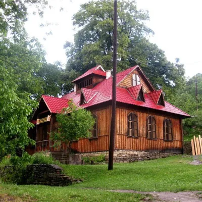 MuseumMuseum of Ethnography and Local History of the Hutsul Region, PidzakharychiPidzakharychi7.8 km from the centreTheMuseum of Ethnography and Local History of the Hutsul Region in the village of Pidzakharychi, Chernivtsi Oblast, was founded in the 20th century and is located in...
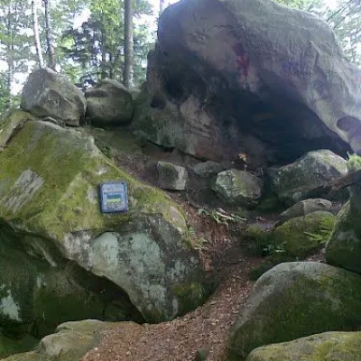 Historic siteDovbush's cave, Pidzakharychi.Pidzakharychi8.5 km from the centreThe brave leader of the opryshky did not ignore these places: not far from the Nimchych Pass, there was Dovbush's cave, which served as a refuge for the rebels.
Craft nearby
All craft places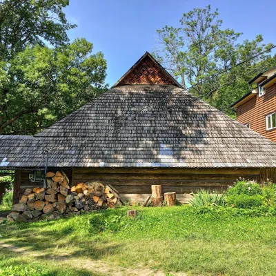 Ethno parks & homesteadsLived-in Hutsul Grazhda on Ihrets, KryvorivniaKryvorivnia9.9 km from the centreOn the slopes of the Ihrets ridge above Kryvorivnia stands one of the few lived-in Hutsul grazhda homesteads still inhabited and farmed by a family.
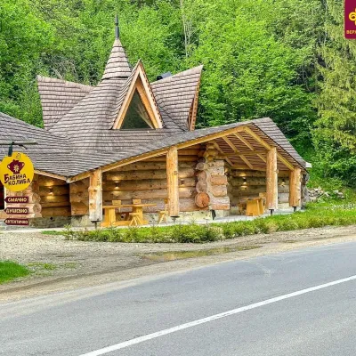 Koliby & Hutsul cuisineBabyna Koliba, KryvorivniaKryvorivnia11 km from the centreBabyna Kolyba («Granny's Koliba») serves authentic Hutsul food in Kryvorivnia, a village sometimes called the «Ukrainian Athens»: Ivan Franko, Mykhailo Kotsiubynskyi...
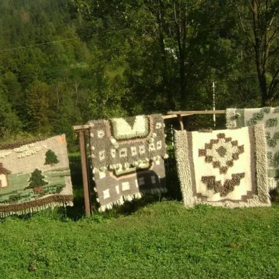 Crafts & workshopsHutsul Grazhda Folk Art Centre, YavorivYavoriv11 km from the centreThe village of Yavoriv near Kosiv is known as the capital of Hutsul lizhnyk weaving. Woollen blankets are woven in almost every other house here, and in summer...
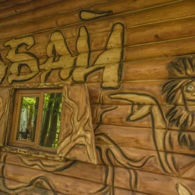 Koliby & Hutsul cuisineBabai Restaurant, YavorivYavoriv12 km from the centreBabai Restaurant is one of the best-known roadside eateries of the Hutsul region. It stands in the village of Yavoriv (Ryvni hamlet), Kosiv district, right by the...
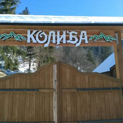 Koliby & Hutsul cuisineKoliba Restaurant, SokolivkaSokolivka12 km from the centreKolyba Restaurant in Sokolivka is a genuine Hutsul koliba by the main Kosiv–Verkhovyna road, above the mountain river Rybnytsia.
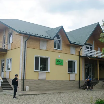 Cheese dairies & pasturesDaleki Hory Cheese Dairy, SnidavkaSnidavka13 km from the centreDaleki Hory (“Distant Mountains”) is one of the highest craft cheese dairies in Ukraine. It stands in the mountain village of Snidavka in the Kosiv area, about 940...
Where to stay
Hotels, sadybas and cottages in and around Biloberizka.
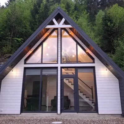 CottageCottage "lisovi_a_frame"Verkhovyna6.9 km from the centreBBQParkingWi‑FiNearby: St. Dmitry's Church 7.6 kmWaterfall Kizya 8.9 kmfrom 4 000 UAH per night
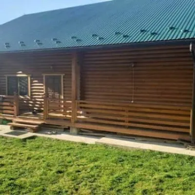 HotelFaina KhataVerkhovyna7.5 km from the centreBBQParkingWi‑FiNearby: Lake Bukovets 7.2 kmBukovelian pass 7.6 kmfrom 4 200 UAH per night
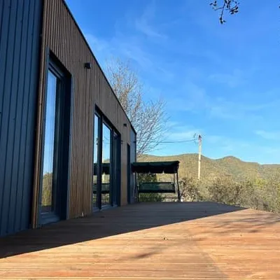 CottageB-HouseKosiv9 km from the centreBBQParkingWi‑FiNearby: Sykavka waterfall 1.5 kmDovbush's cave 2.5 km1 trailfrom 3 840 UAH per night
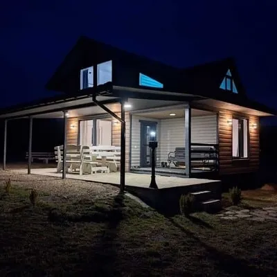 CottageBukhouse carpathiansVerkhovyna9.4 km from the centreBBQParkingWi‑FiNearby: Bukovelian pass 500 mLake Bukovets 900 m2 trailsfrom 4 200 UAH per night
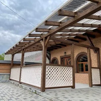 HotelShepit KryvorivniVerkhovyna9.5 km from the centreBBQParkingWi‑FiNearby: Lake Bukovets 3.6 kmBukovelian pass 3.9 km2 trailsfrom 1 430 UAH per night
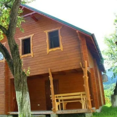 CottageBilakivVerkhovyna9.9 km from the centreHot tubSaunaParkingNearby: Lake Bukovets 3.6 kmBukovelian pass 4.0 km2 trailsfrom 5 310 UAH per night
Trails nearby
All trails ModerateOne-dayBukovets village loopvia Pysanyi KaminElevation profile807–1 221 m12.4 kmascent 484 m≈ 4 h walking3.8 km from the centre
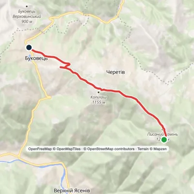 EasyOne-dayPysanyi Kamin Bukovets villageElevation profile813–1 221 m6.9 kmascent 90 m≈ 2 h walking3.8 km from the centre
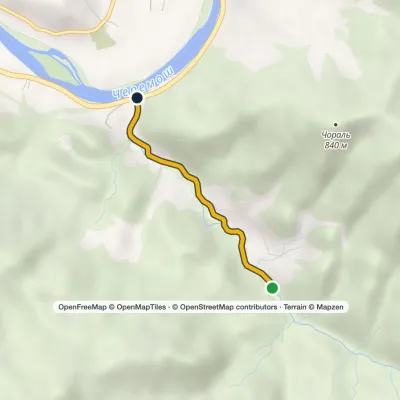 EasyOne-dayMarkedSmuharski WaterfallsElevation profile398–488 m4 km≈ 1 h walking6.9 km from the centre
Peaks nearby
All peaks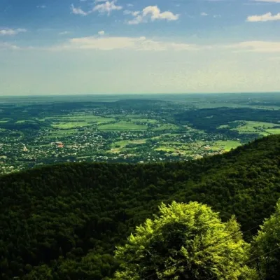 PeakMount Mykhalkova (Kosiv)Kosivaltitude 812 m13 km from the centre2 trails to the topMount Mykhalkova (Mykhalkiv), with a height of 812 meters, is part of the Pokuttya Carpathians. The highest point of the city of Kosiv and the village of Horod.
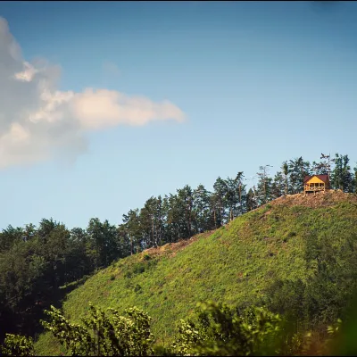 PeakMount Ostry (Ostra)Kosivaltitude 584 m15 km from the centre2 trails to the topThe mountain offers wonderful views of the entire Kosiv. The descent is steep, and autumn is magical here.
 PeakMount Sopka (Stizhky, Zinyakov top).Kosivaltitude 620 m16 km from the centre2 trails to the topStizhki (620 meters) offers a panoramic view of the city of Kosiv. The mountain is covered with forests - beech, spruce, fir, and in the more holy places - sycamore.
