Liptovská Sielnica
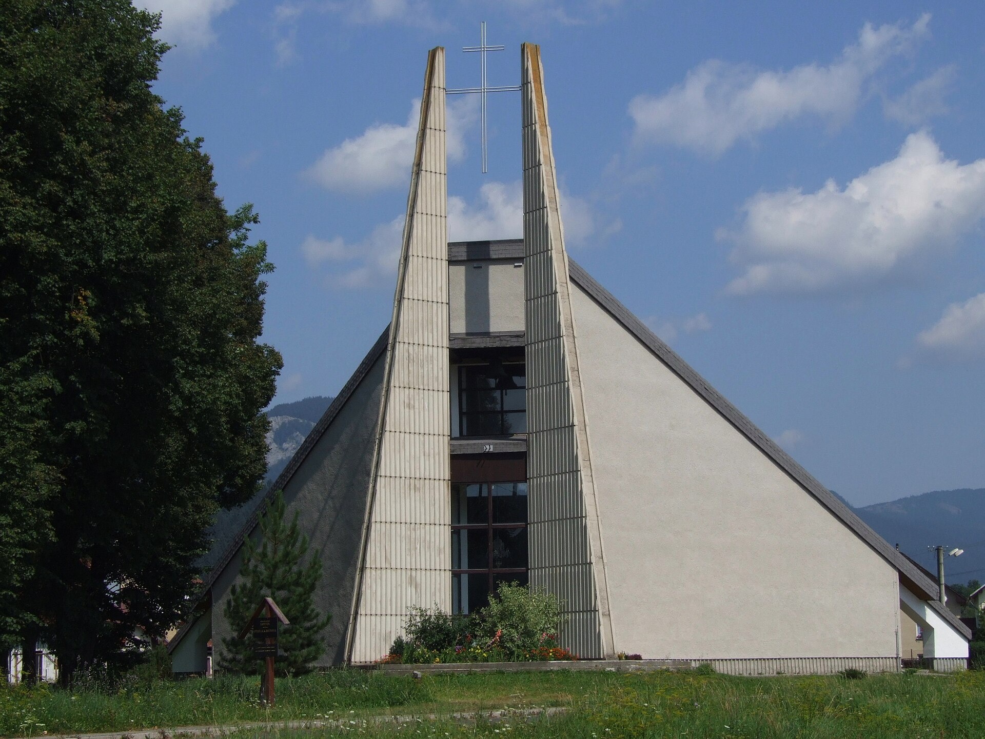
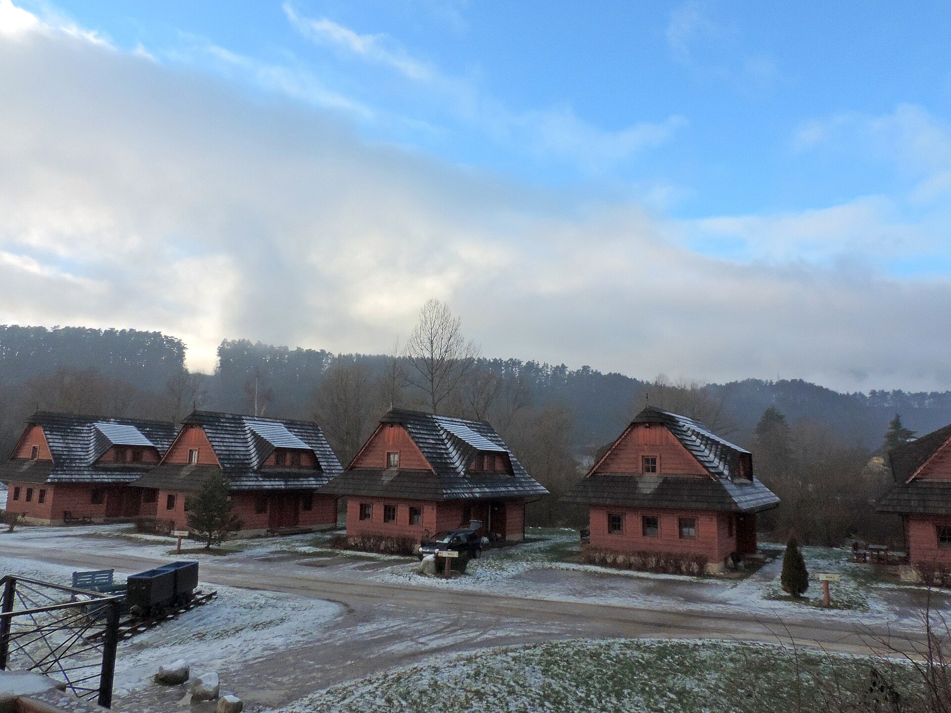
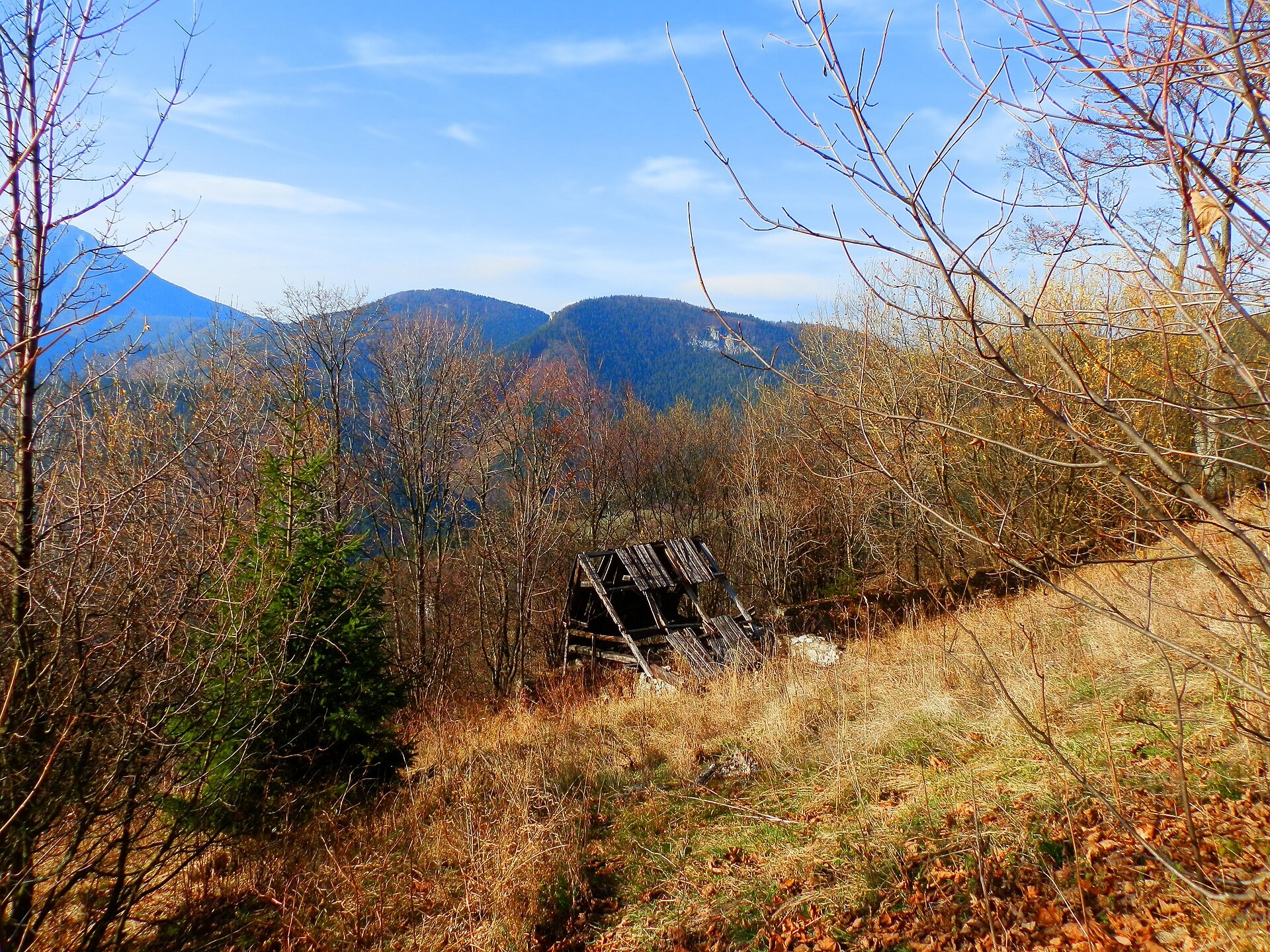
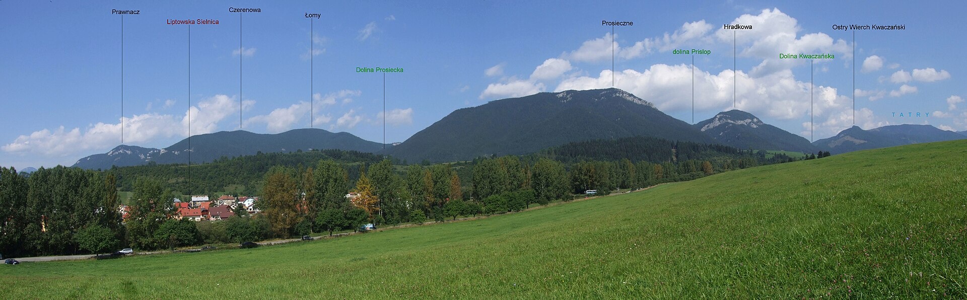
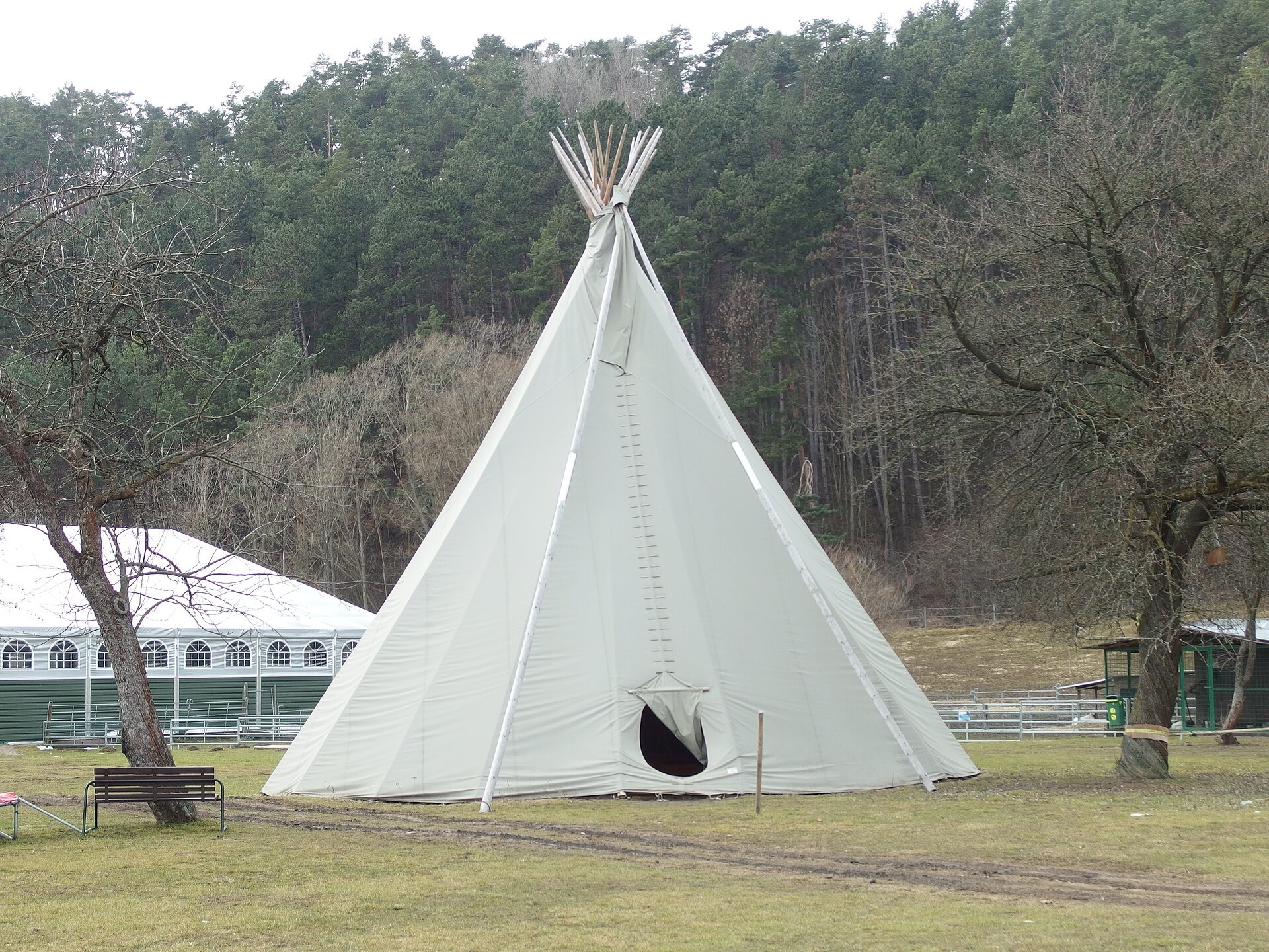
Photos: Jerzy Opioła, CC BY-SA 4.0 (Wikimedia Commons); Jan Starec, CC BY-SA 3.0 (Wikimedia Commons); Michal Jakubský, CC BY 3.0 (Wikimedia Commons); Jerzy Opioła, CC BY-SA 4.0 (Wikimedia Commons); Michal Jakubský, CC BY 3.0 (Wikimedia Commons); Jan Starec, CC BY-SA 3.0 (Wikimedia Commons)
Liptovská Sielnica is a village in the Liptovský Mikuláš District, Žilina region, Slovakia. It is located in the historical Liptov region at an elevation of 574 metres, in the Liptov Basin by the lower part of the Kvačanka stream. The settlement lies near the Choč Mountains, making it a convenient base for exploring this scenic mountain area.
The first historical mention of Liptovská Sielnica dates back to 1262. Before 1918, it was part of Liptó County within the Kingdom of Hungary, and from 1939 to 1945, it belonged to the Slovak Republic.
Liptovská Sielnica is known as a holiday base by the Liptovská Mara reservoir, which offers a water sports centre and equipment rental. The village is situated between the popular Kvačianska and Prosiecka valleys. Facilities include a hotel, restaurant, campsite, and private accommodation. Nearby attractions include the ruins of Liptovský Hrad, the wooden articled church in Svätý Kríž, and natural sites such as the Lúčanský waterfall.
Visitors can enjoy numerous trails, such as "Kvačianska Valley Mouth – Volovec – Pysné Saddle" and "Na Tokarinách – Sivý vrch", as well as routes to waterfalls and picturesque valleys. Hiking enthusiasts can ascend peaks like Hrubá kopa, Pachoľa, and Malý Choč. For relaxation, there are the Bešeňová Water Park, Lúčky Spa and AQUA-VITAL Park, and Tatralandia Aquapark. Local craft experiences include Salaš Dechtáre above Liptovská Mara. The area also features the Červenec and Žiarska mountain huts.
Getting there from Ukraine
From Uzhhorod ≈275 km, ≈3 h 35 min without queues: Uzhhorod – Vyšné Nemecké → I/19 to Košice → D1 motorway via Prešov, Poprad and Liptovský Mikuláš to Ružomberok (≈270 km, ≈3 h 25 min from the border). From Lviv it is faster through Poland: M-10 → Krakovets – Korczowa → A4 to Kraków → S7/DK7 to the Chyżne – Trstená border → R3 and I/59 via Dolný Kubín to Ružomberok: ≈482 km, ≈6 h 15 min (via Uzhok and Ubľa ≈500 km, ≈7 h 30 min). The D1 requires an e-vignette (eznamka.sk).
Sources: Wikipedia, Wikidata, OpenStreetMap, Karpaty.rocks data. More on Wikipedia
What's nearby
Trails nearby
All trails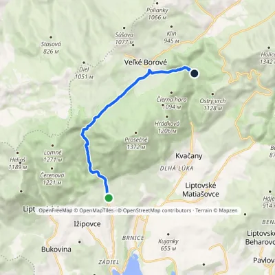 EasyOne-dayMarkedProsiek Oblazy, junctionElevation profile618–942 m8.8 kmascent 391 m≈ 3 h walking1.4 km from the centre
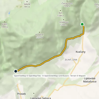 EasyOne-dayMarkedÚstie Prosieckej Valley KvačanyElevation profile632–766 m4.6 kmascent 171 m≈ 1.5 h walking1.6 km from the centre
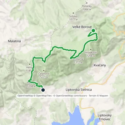 ModerateTwo-dayMarkedLiptovská Anna Dolina Borovianky, junctionElevation profile662–1 372 m17 kmascent 1 132 m≈ 6.5 h walking3.1 km from the centre
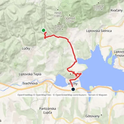 ModerateOne-dayMarkedVlachy Liptovský CastleElevation profile520–999 m13.7 kmascent 649 m≈ 4.5 h walking3.4 km from the centre
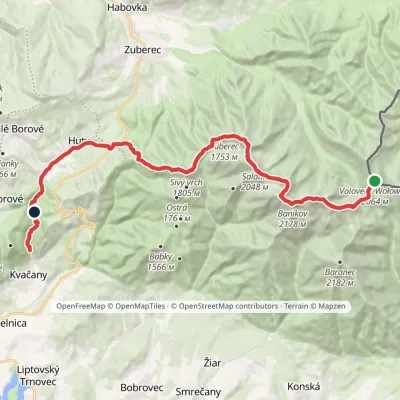 HardMulti-dayMarkedÚstie Kvačianskej doliny Pyšné sedlovia VolovecElevation profile644–2 178 m27.6 kmascent 1 566 m≈ 10 h walking4.2 km from the centre
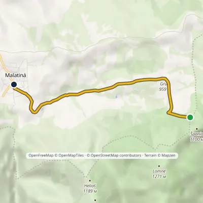 EasyOne-dayMarkedMalatiná, municipal office Malatinska RoveňElevation profile771–995 m4.6 kmascent 47 m≈ 1 h walking4.6 km from the centre
Peaks nearby
All peaks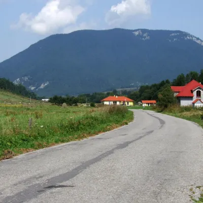 PeakProsečnéVeľké Borovéaltitude 1 372 m3.3 km from the centreProsečné (local forms Prosečnô, Prosečná; Polish Prosieczne) is a prominent 1372 m peak in the Choč Mountains of northern Slovakia.
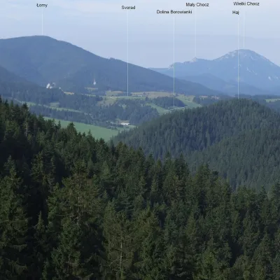 PeakLomnéLiptovská Annaaltitude 1 278 m4.3 km from the centreLomné (also Lômy; Polish Łomy) is a 1278 m summit in the Slovak Choč Mountains. It rises above the famous Prosiecka dolina gorge, about 13 km north-west of Liptovský...
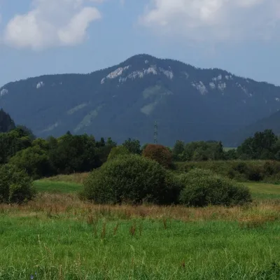 PeakPravnáčLiptovská Annaaltitude 1 206 m4.5 km from the centrePravnáč (Polish Prawnacz) is a 1206 m summit in the Choč Mountains (Chočské vrchy) in northern Slovakia.
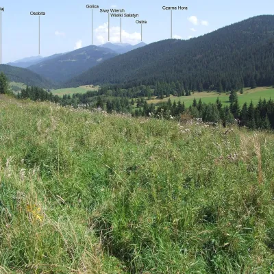 PeakČierna horaKvačanyaltitude 1 094 m5 km from the centreČierna hora ("Black Mountain") is a 1094 m summit in the Choč Mountains (Chočské vrchy) in northern Slovakia.
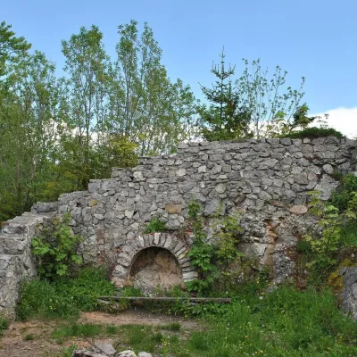 PeakSestrčLiptovská Sielnicaaltitude 1 000 m6.1 km from the centreSestrč is a 999.9 m summit in the Choč Mountains (Chočské vrchy) in the Liptov region of northern Slovakia.
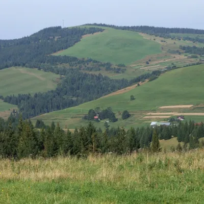 PeakPoliankyMalé Borovéaltitude 1 066 m8.2 km from the centrePolianky is a 1066 m summit in the Skorušinské vrchy in Slovakia (Polish geographers call the range the Orava or Skoruszyna Foothills).
What to visit
All LakeLiptovská MaraLiptovský Trnovec4.2 km from the centreLiptovská Mara is a large reservoir on the Váh river in central Liptov, by the town of Liptovský Mikuláš, with views of the Western and Low Tatras.
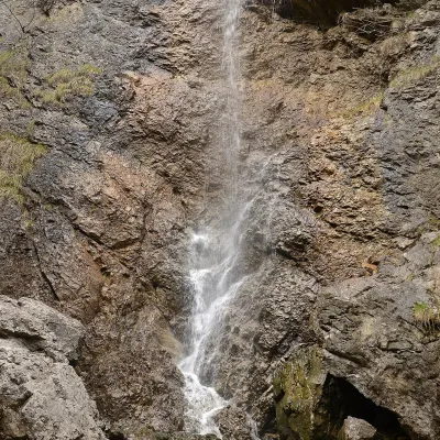 WaterfallČervené piesky waterfall in the Prosiecka valleyProsiek4.2 km from the centreČervené piesky is a 15-metre waterfall in a side valley of the Prosiecka dolina in the Chočské vrchy of northern Slovakia, above the village of Prosiek in the Liptov...
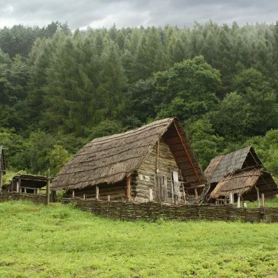 MuseumHavránok Archaeological Open-Air Museum, Liptovská MaraLiptovská Sielnica5.1 km from the centreArcheoskanzen Havránok is an open-air archaeological museum on a hill above the dam of the Liptovská Mara reservoir, about 2 km south of the village of Bobrovník,...
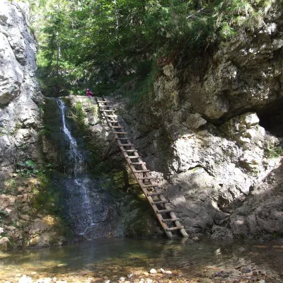 WaterfallRáztocký waterfall and the Oblazy mills (Kvačianska valley)Kvačany6.1 km from the centreThe Ráztocký waterfall (Ráztocký vodopád) is an eight-metre waterfall on the Ráztoka stream in the Chočské vrchy of northern Slovakia, just above the locality of...
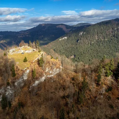 CastleLiptov Castle (ruins)Liptovská Sielnica6.1 km from the centreLiptov Castle (Liptovský hrad), also known as Liptov Old Castle or Sielnica Castle, is the ruin of a medieval fortress on the summit of Sestrč (999.9 m) in the Choč...
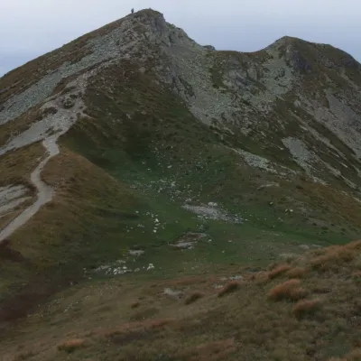 Mountain meadowThe grassy hole of Salatín and Brestová in the Western TatrasZuberecaltitude 2 048 m15 km from the centreSalatín (2,048 m) is a massive grassy mountain on the main ridge of the Western Tatras (Západné Tatry) in Slovakia, above the Bobrovecká and Jalovecká valleys on the...
Craft nearby
All craft places Koliby & Hutsul cuisineSalaš Dechtáre above Liptovská MaraGalovany5.9 km from the centreSalaš Dechtáre is a wooden koliba above the Liptovská Mara reservoir that is described as one of Slovakia’s first commercial salaš restaurants.
 Water parks & thermal poolsAquapark TatralandiaLiptovský Mikuláš6 km from the centreAquapark Tatralandia is a large year-round water leisure complex near Liptovský Mikuláš, on the northern shore of the Liptovská Mara reservoir.
 Water parks & thermal poolsBešeňová Water ParkBešeňová7 km from the centreBešeňová — the "thermal heart of Liptov" Bešeňová Water Park (Vodný park Bešeňová) lies on the edge of the village of the same name in the western part of the Liptov...
 Water parks & thermal poolsLúčky Spa and AQUA-VITAL ParkLúčky8.6 km from the centreLúčky Spa (Kúpele Lúčky) lies in a quiet valley beneath the Choč Mountains, in the village of Lúčky near Ružomberok.
 Craft beer & breweriesLiptovar brewery, Liptovský Mikuláš: craft beer and brewpubLiptovský Mikuláš10 km from the centreLiptovský Mikuláš is the main town of the Liptov region, a short drive from the Low and Western Tatras, the Demänovská Valley and the Liptovská Mara reservoir.
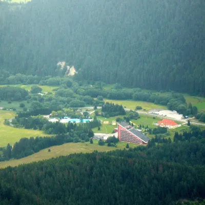 Water parks & thermal poolsTERMAL raj thermal bath, Liptovský JánLiptovský Ján17 km from the centreLiptovský Ján: thermal water at the entrance to Jánska dolina Liptovský Ján is an old village in southern Liptov, about 10 km from Liptovský Mikuláš, at the entrance...
Spas and thermal pools nearby
Water parks & thermal poolsAquapark TatralandiaLiptovský Mikuláš6 km from the centreAquapark Tatralandia is a large year-round water leisure complex near Liptovský Mikuláš, on the northern shore of the Liptovská Mara reservoir.Water parks & thermal poolsBešeňová Water ParkBešeňová7 km from the centreBešeňová — the "thermal heart of Liptov" Bešeňová Water Park (Vodný park Bešeňová) lies on the edge of the village of the same name in the western part of the Liptov...Water parks & thermal poolsLúčky Spa and AQUA-VITAL ParkLúčky8.6 km from the centreLúčky Spa (Kúpele Lúčky) lies in a quiet valley beneath the Choč Mountains, in the village of Lúčky near Ružomberok.Huts, shelters and springs nearby
Getting there from Ukraine
Border crossings
- Uzhhorod – Vyšné Nemecké — road, 24/7
- Malyi Bereznyi – Ubľa — road, 24/7 For cars and buses; pedestrians not confirmed by the Ukrainian border service, lorries up to 3.5 t.
- Mali Selmentsi – Veľké Slemence (pedestrian) — pedestrian, 09:00–21:00 Kyiv time Pedestrians and cyclists only; inconvenient for the Tatras without onward transport.
- Chop – Čierna nad Tisou (rail) — rail, 24/7
By car
From Uzhhorod ≈275 km, ≈3 h 35 min without queues: Uzhhorod – Vyšné Nemecké → I/19 to Košice → D1 motorway via Prešov, Poprad and Liptovský Mikuláš to Ružomberok (≈270 km, ≈3 h 25 min from the border). From Lviv it is faster through Poland: M-10 → Krakovets – Korczowa → A4 to Kraków → S7/DK7 to the Chyżne – Trstená border → R3 and I/59 via Dolný Kubín to Ružomberok: ≈482 km, ≈6 h 15 min (via Uzhok and Ubľa ≈500 km, ≈7 h 30 min). The D1 requires an e-vignette (eznamka.sk).
Checked 23.10.2026; border crossing hours and timetables change — check before you travel.
