Szlak Sułkowickich Kowali
Trail map
Route, springs and shelters: © OpenStreetMap contributors (ODbL) · elevation: Copernicus DEM © DLR e.V., © Airbus DS · Data & licences
About the trail
Route Szlak Sułkowickich Kowali. Has blue marking (regional route, PTTK). Waymarking data: OpenStreetMap (© OpenStreetMap contributors, ODbL).
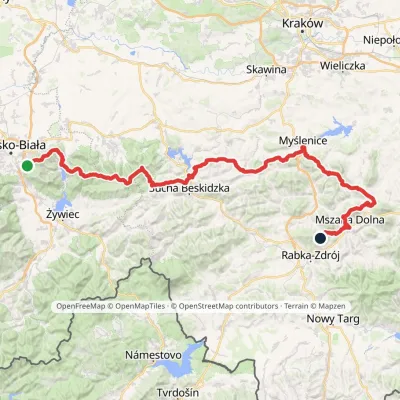
Officially marked regional tourist route. The marking is blue, the sign is a horizontal stripe on a white background. Marked and maintained by: PTTK. Length of the route — 20.4 km. Location: mountain range — Makowski Beskid, Poland.
At a glance
A one-day route of 20.4 km with 584 m of ascent. Estimated walking time: about 6 h, not counting stops. Difficulty: moderate. Waymarking: blue.
How we estimate walking time
By Naismith's rule, used by mountain clubs and guidebooks: an average hiker walks 4 km an hour on the flat and needs one more hour for every 600 m of ascent. For this trail: 20.4 km ÷ 4 = 5.1 h + 584 m ÷ 600 = 1 h, about 6 h of walking in total.
- Breaks, snacks and photos: add 20–30 %.
- A heavy pack, children, snow, a wet path or windfall add more; a long steep descent also takes time, especially for the knees.
- The height of the Carpathians (up to 2,655 m) hardly changes the pace — on the ridges wind, fog and weather slow you down.
- Limits: up to 9 h is one day; 9–13 h is a very long day or two; over 13 h means several days with overnight stays.
Route stages
- 0–4 kmClimb of 150 m (up to 381 m)
- 4–5 kmDescent of 120 m (down to 265 m)
- 5–11 kmGentle ups and downs at 230–360 m
- 11–16 kmClimb of 210 m (up to 444 m)
- 16–18 kmDescent of 150 m (down to 290 m)
- 18–20 kmGentle ups and downs at 280–320 m
Steepest kilometre: km 14–15, a climb of 100 m (≈10%).
Water and overnight stays
Our map shows no springs near the trail — bring your own water (at least 3 l).
When to go
The route can be walked most of the year; it is most comfortable from April to October.
Getting there
This is a one-way route: the finish is 14 km from the start in a straight line, so plan your way back in advance.
FAQ
- How long does the route take?
- Estimated walking time: about 6 h, not counting stops.
- Is there water on the route?
- Our map shows no springs near the trail — bring your own water (at least 3 l).
Comments and trail condition
Travellers’ experience: reports, tips, questions.
No one has reported on this trail yet. Been here lately? Tell others what it is like now.
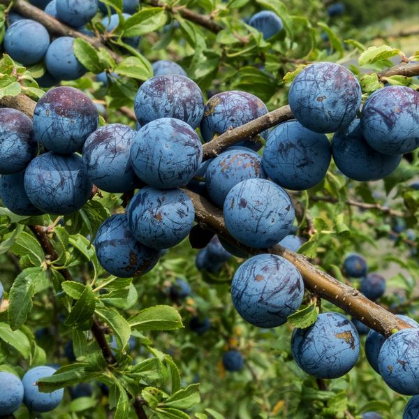
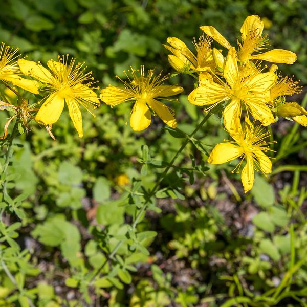
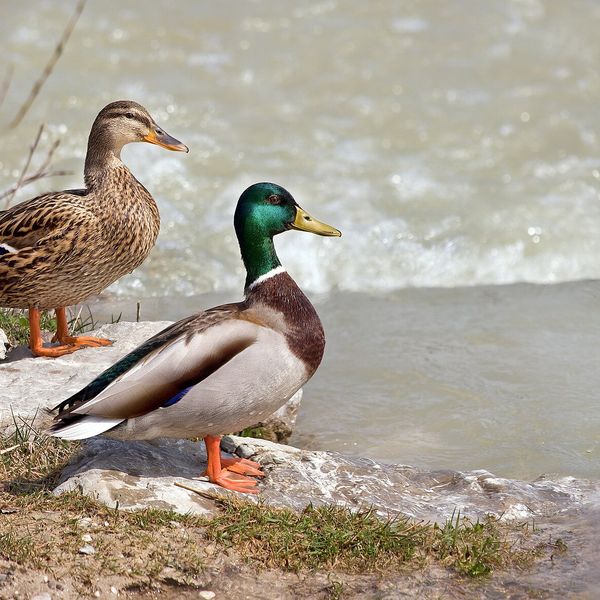
Wildlife along the route
All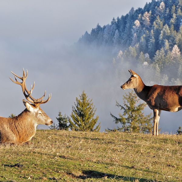
- Adders live here — what to do after a bite
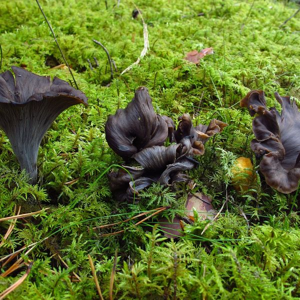
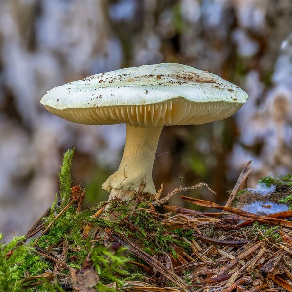
- Mushroom season — but never identify a mushroom from a photo alone
Based on naturalists’ records nearby (GBIF, iNaturalist), matched by altitude, habitat and season. Sightings are not guaranteed.
Trails nearby
All trails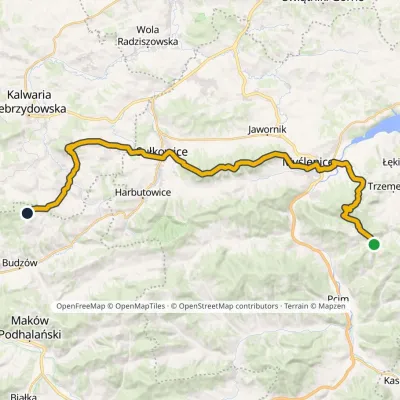
Craft nearby
All craft places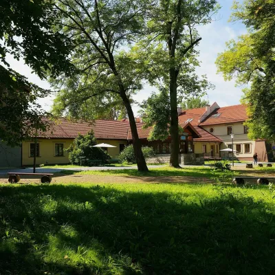 Water parks & thermal poolsSwoszowice spa: sulphide baths in KrakówKraków7.9 km from the trailSwoszowice is a spa within Kraków, on the city's southern edge by the Wilga river. Its operator stresses that it is the only spa in Poland, and one of few in Europe,...
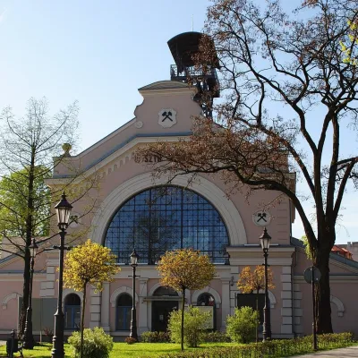 Water parks & thermal poolsWieliczka Salt Mine Health Resort: treatment undergroundWieliczka16 km from the trailThe Wieliczka Salt Mine Health Resort (Uzdrowisko Kopalnia Soli „Wieliczka”) is an unusual treatment centre: its wards and halls lie 135 m underground, on the third...
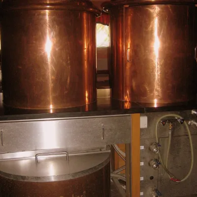 Craft shopsCistercian monastery shop, Szczyrzyc: abbey cheese, milk and Gryf beerSzczyrzyc33 km from the trailIts heart is the Cistercian abbey: the monks arrived in the first half of the 13th century and, according to the monastery itself, have lived here without interruption...
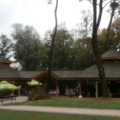 Water parks & thermal poolsRabka-Zdrój spa: brine graduation tower, pump rooms, treatmentsRabka-Zdrój41 km from the trailRabka-Zdrój is a spa in the Raba valley between the Gorce, the Beskid Wyspowy and the Beskid Makowski, halfway from Kraków to Zakopane.
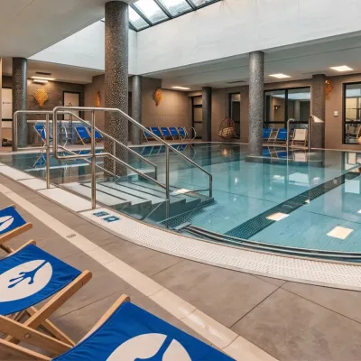 Water parks & thermal poolsTermy Gorce thermal bathsNiedźwiedź43 km from the trailTermy Gorce is a small, cosy thermal complex in the village of Poręba Wielka, in the municipality of Niedźwiedź, at the foot of the Gorce Mountains.
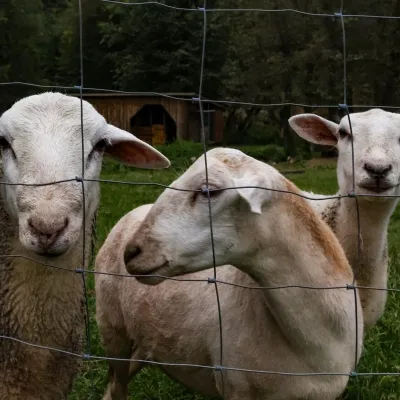 Eco farmsOrawskie Ranczo Educational Farm, Harkabuz: animals and craft workshopsHarkabuz48 km from the trailOrawskie Ranczo is a small family educational farm (zagroda edukacyjna) in the village of Harkabuz near Raba Wyżna, where Orawa meets Podhale.
