Poiana Stânii
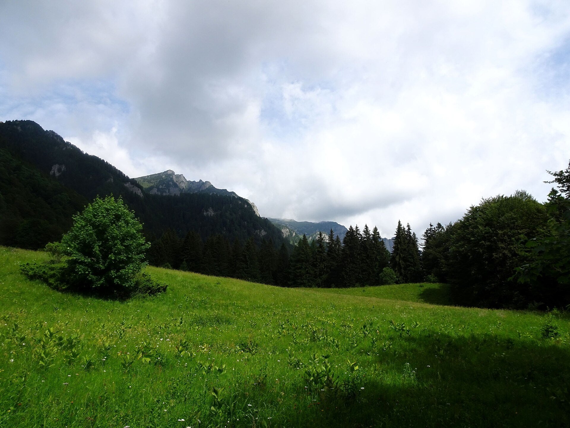
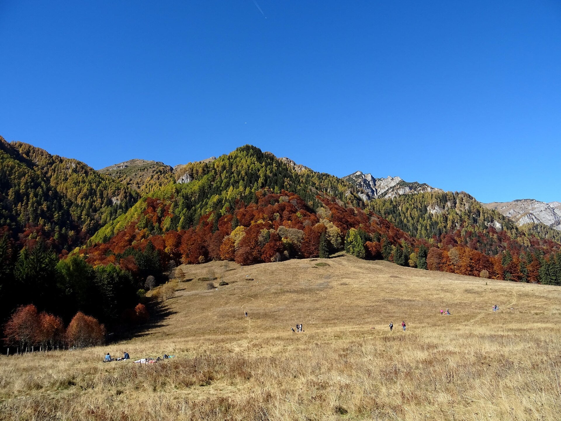
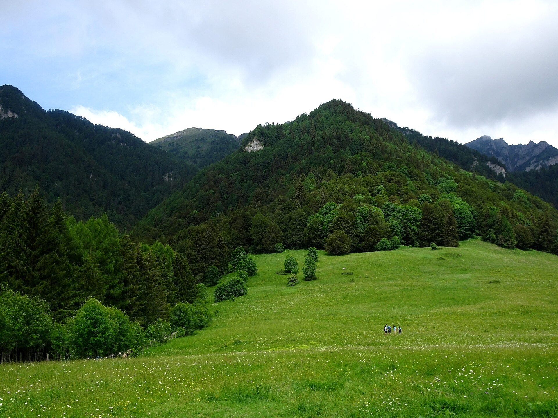
Poiana Stânii (in full Poiana Stânii Regale, "the meadow of the royal sheepfold") is a broad mountain meadow at about 1,270 m on the Prahova side of the Bucegi Mountains, above the resort of Sinaia. Forest surrounds it, and above the trees you can see Mount Furnica, the Peleș valley, the edge of the Piatra Arsă plateau, Jepii Mici and Jepii Mari, and Caraiman with the Heroes' Cross — this is how the Munții Noștri hiking atlas describes the view.
The meadow is named after the royal sheepfold (a stână is a shepherds' summer station) that stood here in the time of King Carol I. The TV channel Observator writes that the meadow and the nearby rocks were favourite places for the walks and "country parties" Romanian monarchs gave for distinguished guests, and that the meadow itself is a hay meadow of 17 hectares declared a botanical reserve. Today the Stâna Regală building at the edge of the meadow recalls the sheepfold and is a handy landmark on every map.
What to see and do
- The meadow itself — an even grassy slope with the Bucegi walls above it; in autumn the forest around turns russet and red.
- The Franz Joseph Rocks (Stâncile Franz Joseph) — a viewpoint at 1,299 m, five minutes through the forest. According to the Munții Noștri atlas it was laid out in 1896, when Carol I brought the Austrian emperor Franz Joseph here; a bronze bas-relief on the rock still commemorates the visit. You see the Prahova valley, Sinaia, Bușteni, Predeal and the Baiului Mountains.
- The Royal Path (Poteca Regală) — the alley from Peleș Castle, traced soon after the castle opened in 1883; in 1889 it was paved and given balustrades.
- The Sfânta Ana rock with a rock-cut hermit's cell — a short detour from the access road.
How to get there
The easiest way is the Royal Path from Peleș Castle in Sinaia: blue stripe, 1.7 km, 1–2 hours at an easy pace; the atlas recommends this walk for any age and in any season. The second option is route no. 38 (blue stripe) along the access road that leaves the Sinaia – Cota 1400 road at 1,020 m: 3.3 km, about an hour, 315 m of ascent, also suitable for bicycles. From the Poiana Țapului railway halt route no. 3 (yellow dot) climbs 3.7 km in 1 h 30 min to 2 h 15 min with 472 m of ascent, past the rocks "Săgeata și scutul" and "Stânca cu Clopoței".
Above the meadow the blue stripe climbs steeply through the forest along the Piatra Arsă spur to the Bucegi Plateau — a real mountain ascent, not a stroll.
Season, rules and safety
The meadow is visited all year round, but on the climb from the meadow to Piatra Arsă the atlas warns of avalanche risk. The meadow is a hayfield and a reserve: keep to the path, do not trample the grass before mowing and do not light fires.
Bears live in the Romanian Carpathians: stay on the marked paths, never leave food by a tent or a car, and near flocks do not run from the sheepdogs — stop and walk calmly around the herd. Salvamont mountain rescue: national dispatch 0SALVAMONT — 0725 826 668 or 112; advice for hikers is on salvamontromania.ro.
Nearby
The Bucegi Plateau with the Babele and Sphinx rocks, and the peaks Caraiman and Vârful cu Dor above Sinaia.
Photos: Whitepixels, CC0, Wikimedia Commons.
Getting there from Ukraine
Border crossings
- Porubne – Siret — road and pedestrian, 24/7
- Diakivtsi – Racovăț — road and pedestrian, 24/7 No freight traffic.
- Krasnoilsk – Vicovu de Sus — road and pedestrian, 08:00–20:00 Cars up to 3.5 t and pedestrians only; not 24/7.
- Solotvyno – Sighetu Marmației — road and pedestrian, 24/7 Passenger traffic only: vehicles up to 3.5 t with up to 9 seats, pedestrians.
- Diakove – Halmeu — road, 24/7 No pedestrian crossing.
By car
Chernivtsi – Bușteni ≈426 km, ≈7 h 32 min (via Diakivtsi – Racovăț); Rakhiv – Bușteni ≈454 km, ≈8 h 01 min (via Solotvyno – Sighetu Marmației); Uzhhorod – Bușteni ≈557 km, ≈9 h 15 min (via Diakove – Halmeu). Times without border queues, our road routing (GraphHopper, OSM).
Checked 03.11.2026; border crossing hours and timetables change — check before you travel.
Location on the map
Water and shelter nearby
- Spring below Colții Pietrei Arse210 m · Not verified · 1 265 m
- Poiana Stanii Spring360 m · Not verified · 1 269 m
- Fântână cu izvor Spring650 m · Not verified · 1 180 m
- Spring below Furnica (east slope), 1 351 m1 km · Not verified · 1 351 m
- Spring below Furnica (south-east slope), 1 329 m1.7 km · Not verified · 1 329 m
- Cota 1500 Hut1.8 km · Not verified · 1 505 m
- Fântâna lui Davila Spring2.1 km · Not verified · 1 291 m
- Spring below Furnica (south-east slope), 2 018 m2.2 km · Not verified · 2 018 m
- Drinking water (Sinaia), 920 m2.2 km · Not verified · 920 m
- Salvamont Sinaia Hut2.4 km · Not verified · 2 043 m
- Drinking water (Sinaia), 894 m2.6 km · Not verified · 894 m
- Drinking water (Sinaia), 874 m2.7 km · Not verified · 874 m
- Drinking water (Sinaia), 838 m2.9 km · Not verified · 838 m
- Spring below Furnica (north-west slope)2.9 km · Not verified · 1 866 m
- Drinking water (Sinaia), 827 m2.9 km · Has water · 827 m
- Gatej Spring3 km · Not verified · 1 059 m
Wildlife nearby
All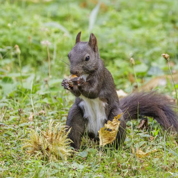
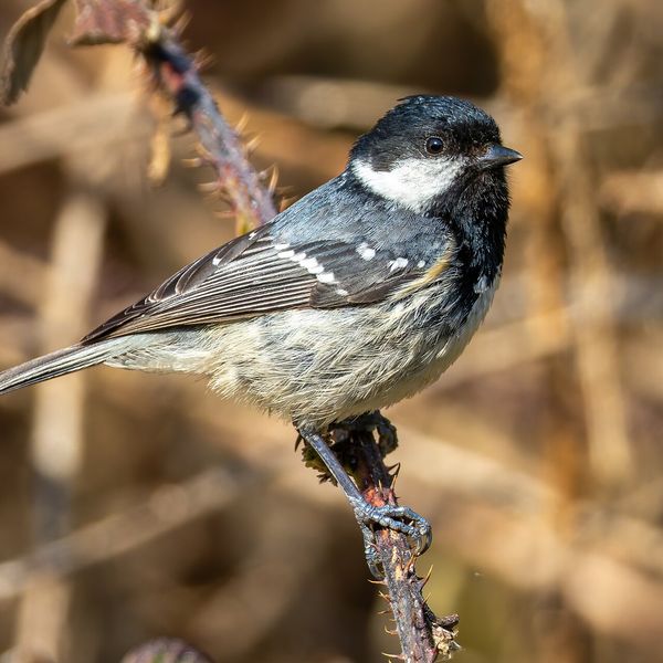
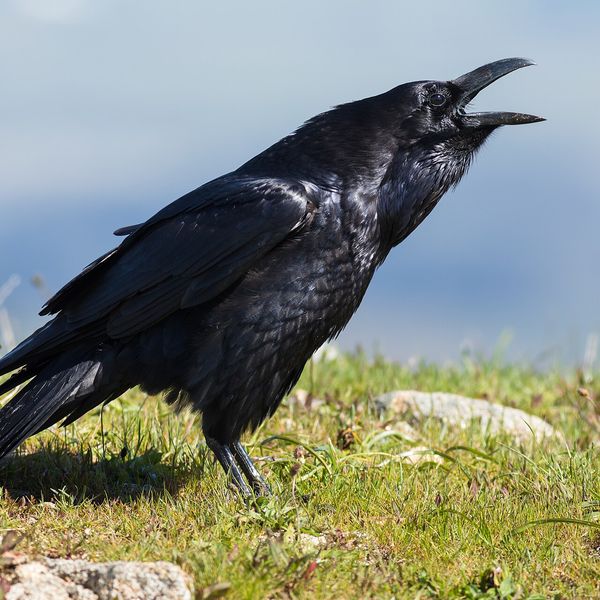
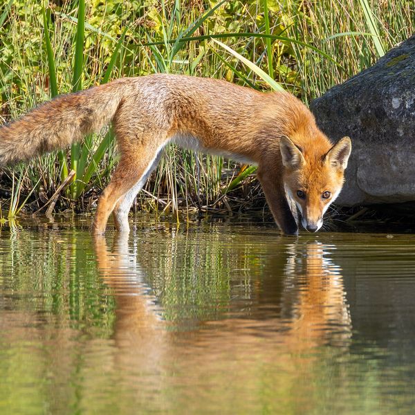
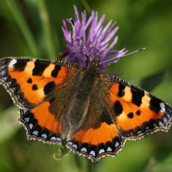
Based on naturalists’ records nearby (GBIF, iNaturalist), matched by altitude, habitat and season. Sightings are not guaranteed.
Comments
Trails nearby
All trails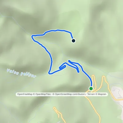 EasyOne-dayMarkedSinaia–Cota 1400 road Poiana StâniiElevation profile1 097–1 312 m3.3 kmascent 215 m≈ 1.5 h walkingunder 1 km from Poiana Stânii
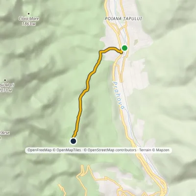 EasyOne-dayMarkedPoiana Țapului Stâna Regală HutElevation profile842–1 274 m3.5 kmascent 432 m≈ 1.5 h walkingunder 1 km from Poiana Stânii
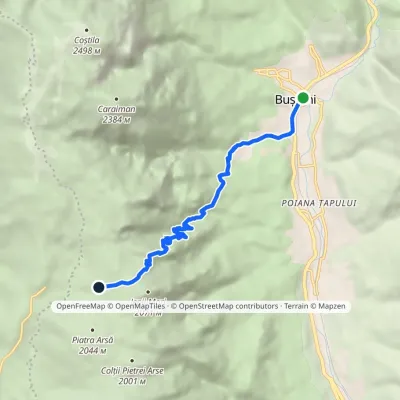 ModerateOne-dayMarkedBușteni Piatra Arsă HutElevation profile877–2 003 m8.4 kmascent 1 116 m≈ 4.5 h walking2.6 km from Poiana Stânii
Nearby attractions
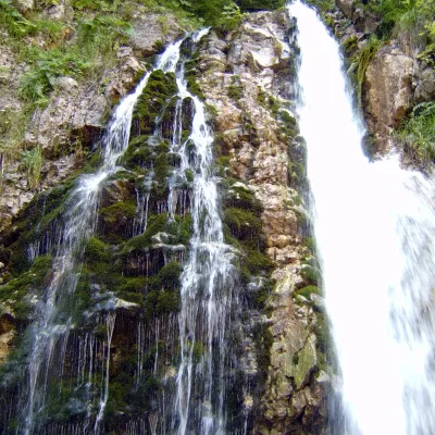 WaterfallUrlătoarea Waterfall (Cascada Urlătoarea)Bușteni3 km from Poiana StâniiUrlătoarea Waterfall (Cascada Urlătoarea) is one of the best known in Romania. It lies on the eastern slope of the Bucegi Mountains, in the Bucegi Natural Park, very...
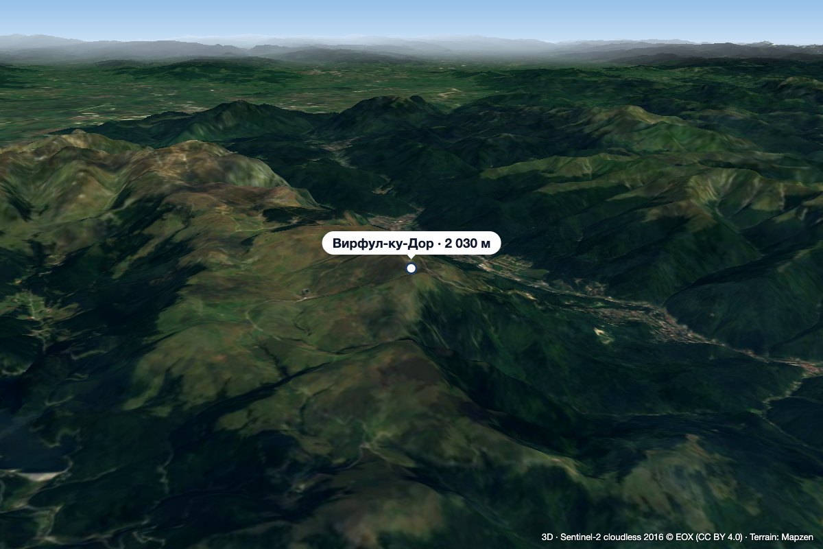 PeakVârful cu DorSinaiaaltitude 2 030 m3.2 km from Poiana Stânii1 trail to the topVârful cu Dor (literally “the Peak with Longing”) is a 2,030 m summit on the southern edge of the Bucegi plateau, above the resort of Sinaia in Prahova County.
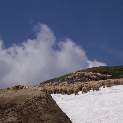 Mountain meadowBucegi PlateauBuștenialtitude 2 193 m5.7 km from Poiana StâniiThe Bucegi Plateau (Romanian: Platoul Bucegi) is a high grassy tableland in the Bucegi Mountains of Romania's Southern Carpathians.
