Bucegi Plateau
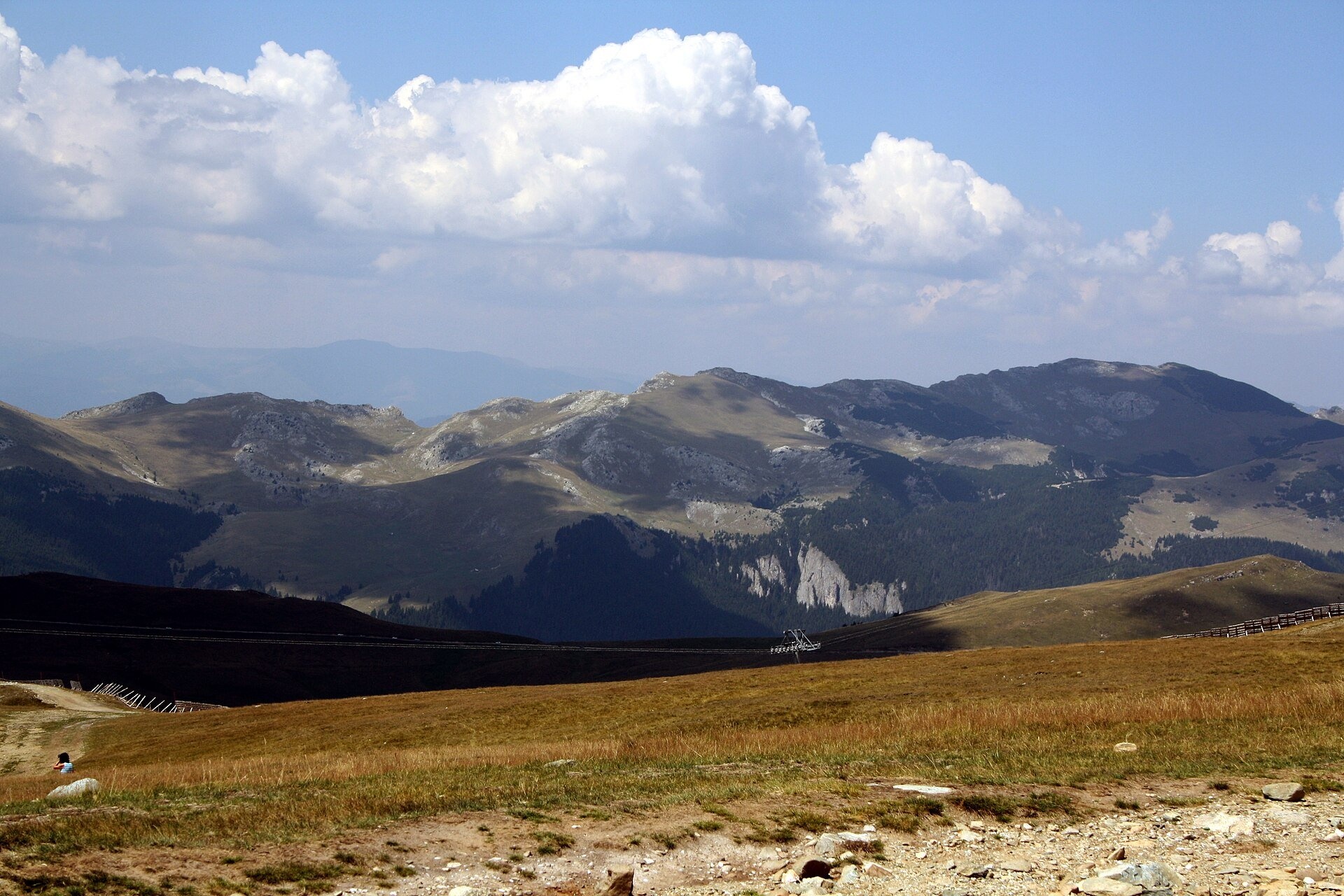
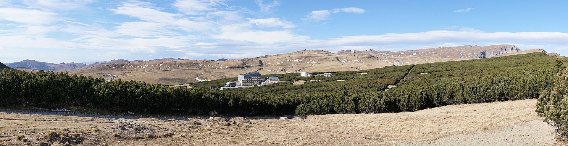
The Bucegi Plateau (Romanian: Platoul Bucegi) is a high grassy tableland in the Bucegi Mountains of Romania's Southern Carpathians. It lies at roughly 1,600–2,400 m and slopes gently from north to south. Towards the Prahova valley it ends in sheer rock walls, while the top is a wide expanse of gentle pastures with patches of dwarf pine. The plateau is part of Bucegi Natural Park and spreads over three counties — Dâmbovița, Prahova and Brașov.
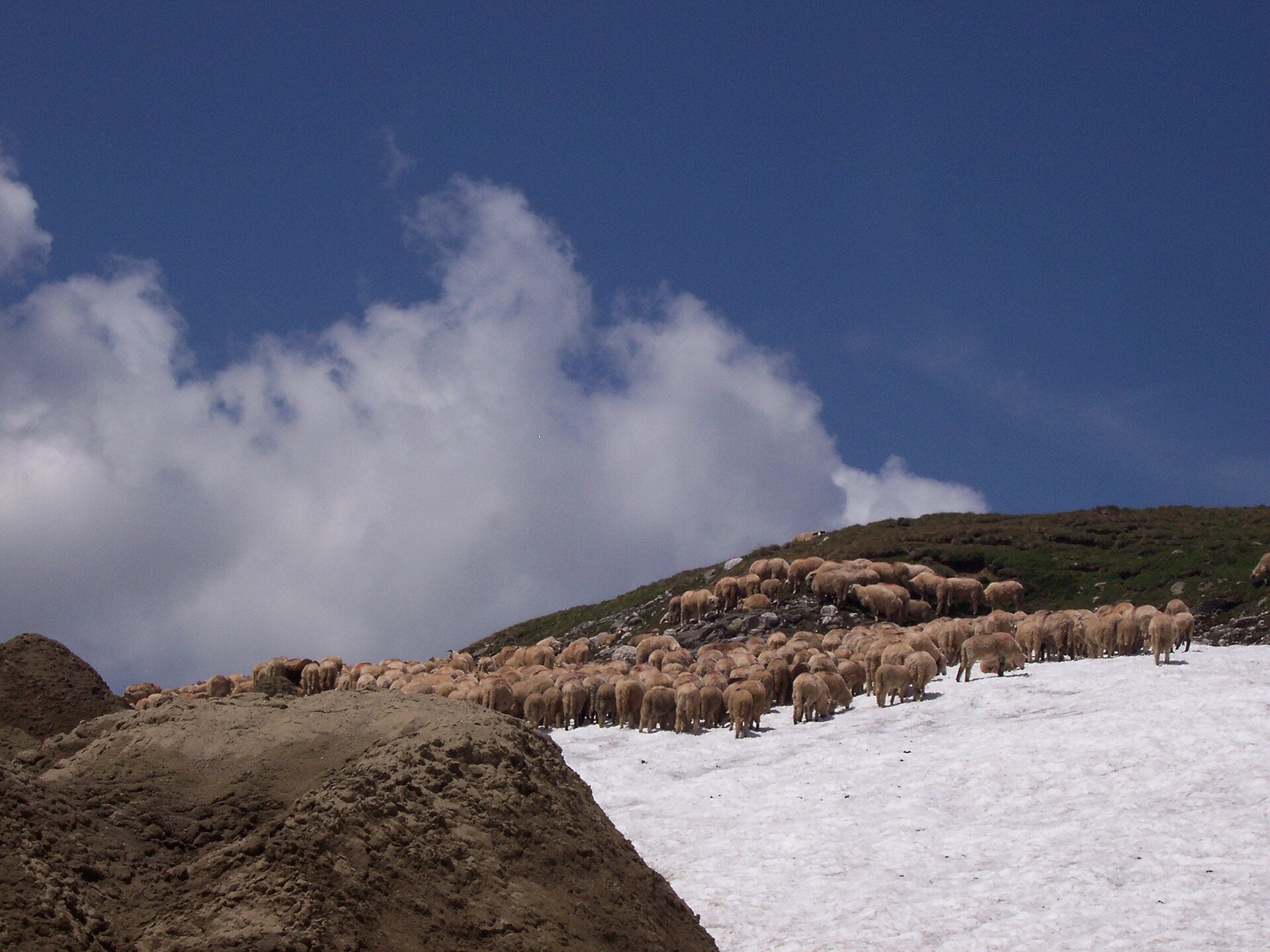
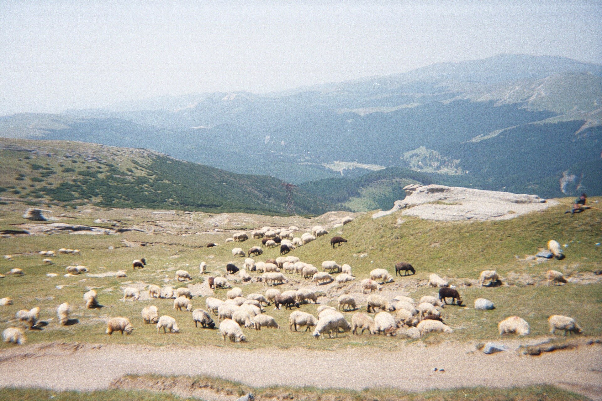
This is the Romanian counterpart of a Carpathian polonyna that everybody knows: flocks graze here in summer and oddly shaped rocks stand beside the paths. Romanian Wikipedia notes that the Bucegi pastures are partly used for transhumant sheep farming. According to the European Forum on Nature Conservation and Pastoralism (EFNCP), smallholders from the village of Moieciu de Sus drive their livestock to the summer pastures around 1 June, and the highest one, on the Bucegi plateau, is a full day's walk away; the animals come back around 1 October.
What to see and do
- Babele — a group of mushroom-shaped rocks next to the upper cable-car station.
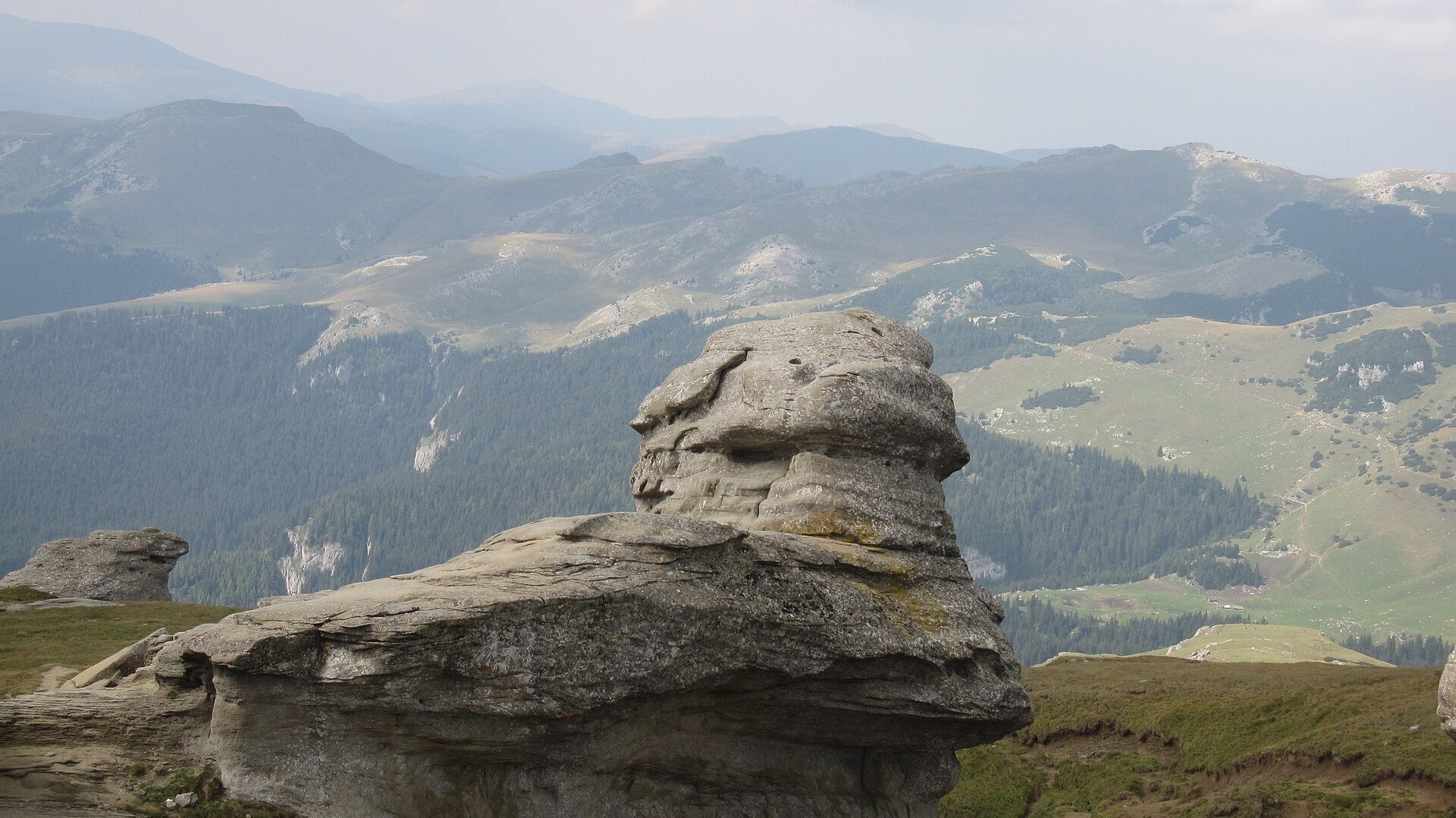
- The Sphinx (Sfinxul din Bucegi) — a conglomerate rock 8 m high and 12 m wide at 2,206 m; the name "Sphinx of Bucegi" first appeared in 1935, and the earliest known photograph of the rock dates from 1900 (Romanian Wikipedia).
- The path to Omu — marked with a yellow stripe from the Babele hut, about 2 hours across the plateau. Above the Prahova valley rises Caraiman with the Heroes' Cross built in 1926–1928, and further north Coștila.
- Pastures and flocks — in summer you see them right from the paths; in the photos on this page sheep graze both on grass and next to snow patches.
How to get there
The easiest way up is the Bușteni–Babele cable car (Telecabina Bușteni–Babele): it is 4,350 m long, the upper station stands at 2,290 m and the ride takes about 12 min 40 s (the line opened in August 1978). From the resort of Sinaia the Sinaia – Cota 1400 – Cota 2000 cable cars reach the plateau. By car the plateau is reached from Sinaia via Cuibul Dorului and the Șaua Dichiului saddle, or from the south, from the village of Moroeni past the Bolboci dam. Cable-car timetables and prices change, so check them with the operator before you go.
Season, rules and safety
The plateau lies within Bucegi Natural Park (32,663 ha). The park visiting ticket costs 10 lei per adult and is valid for 3 months; it can be bought online or in cash from the rangers (according to bucegipark.ro, as of November 2026). Park rules allow motor vehicles on public roads only. The best time for walking is June to September; on the open plateau the weather changes fast, fog and thunderstorms arrive within minutes, and in winter snow hides the waymarks.
Bears live in the Romanian Carpathians: stay on the marked paths, never leave food by a tent or a car, and near flocks do not run from the sheepdogs — stop and walk calmly around the herd. Salvamont mountain rescue: national dispatch 0SALVAMONT — 0725 826 668 or 112; advice for hikers is on salvamontromania.ro.
Nearby
Summits above the plateau: Omu, Caraiman, Coștila; above Sinaia — Vârful cu Dor. Meadows lower down, in the forest belt: Poiana Stânii above Sinaia, Poiana Izvoarelor and Poiana Diham in the north of the massif.
Photos: Andrei Dan Suciu, CC BY 3.0, Wikimedia Commons; Bogdan Giusca (Bogdan Giuşcă (talk)), CC BY-SA 3.0, Wikimedia Commons; Gabriel from Bucharest, Romania, CC BY 2.0, Wikimedia Commons; Pulcherus, CC BY-SA 4.0, Wikimedia Commons; xulescu_g, CC BY-SA 2.0, Wikimedia Commons; Stefan Jurca from Munich, Germany, CC BY-SA 2.0, Wikimedia Commons.
Getting there from Ukraine
Border crossings
- Porubne – Siret — road and pedestrian, 24/7
- Diakivtsi – Racovăț — road and pedestrian, 24/7 No freight traffic.
- Krasnoilsk – Vicovu de Sus — road and pedestrian, 08:00–20:00 Cars up to 3.5 t and pedestrians only; not 24/7.
- Solotvyno – Sighetu Marmației — road and pedestrian, 24/7 Passenger traffic only: vehicles up to 3.5 t with up to 9 seats, pedestrians.
- Diakove – Halmeu — road, 24/7 No pedestrian crossing.
By car
Chernivtsi – Bușteni ≈426 km, ≈7 h 32 min (via Diakivtsi – Racovăț); Rakhiv – Bușteni ≈454 km, ≈8 h 01 min (via Solotvyno – Sighetu Marmației); Uzhhorod – Bușteni ≈557 km, ≈9 h 15 min (via Diakove – Halmeu). Times without border queues, our road routing (GraphHopper, OSM).
Checked 03.11.2026; border crossing hours and timetables change — check before you travel.
Location on the map
Water and shelter nearby
- Babele Hut30 m · Locked · 2 200 m
- Spring below Caraiman (south-west slope), 2 043 m960 m · Not verified · 2 043 m
- Spring below Caraiman (south-west slope), 2 026 m1.1 km · Not verified · 2 026 m
- Caraiman Hut1.2 km · Standing · 2 025 m
- Caraiman ”Ghost” Spring1.4 km · Not verified · 1 855 m
- Spring below Cimitirul Elefanților (south-west slope), 1 819 m1.7 km · Not verified · 1 819 m
- Spring below Jepii Mici1.8 km · Not verified · 1 642 m
- Spring below Cimitirul Elefanților (west slope), 1 705 m2.2 km · Not verified · 1 705 m
- Spring below Cimitirul Elefanților (south-west slope), 1 648 m2.3 km · Not verified · 1 648 m
- Spring below Cimitirul Elefanților (west slope), 1 696 m2.3 km · Not verified · 1 696 m
- Spring below Claia Mica (north-west slope)2.5 km · Not verified · 1 373 m
- Salvamont Peștera Hut2.5 km · Not verified · 1 610 m
- Hut below Pietrosul2.7 km · Not verified · 1 591 m
- Piatra Arsă Hut2.8 km · Standing · 1 950 m
- Spring below Obârșia3 km · Not verified · 2 008 m
- Spring below Claia Mica (north slope)3 km · Not verified · 1 200 m
Wildlife nearby
All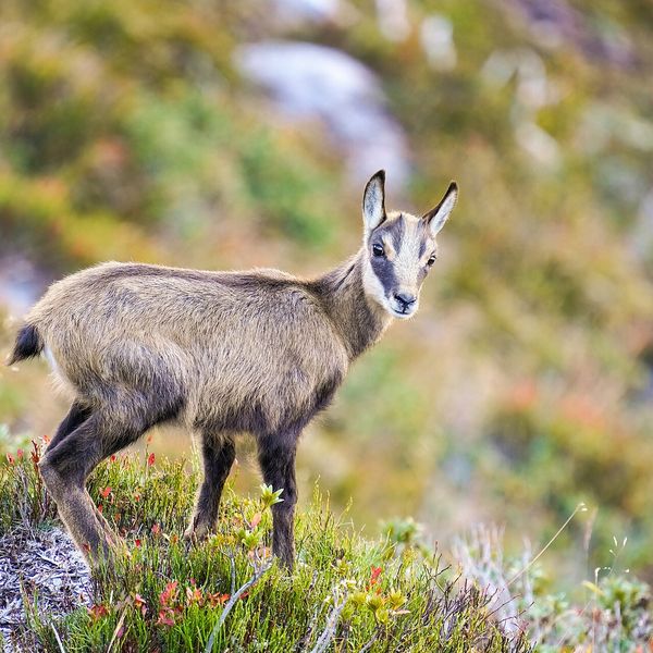
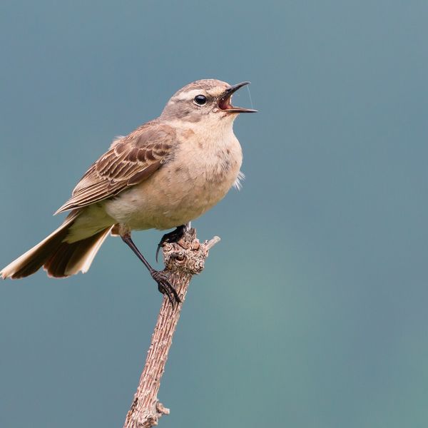
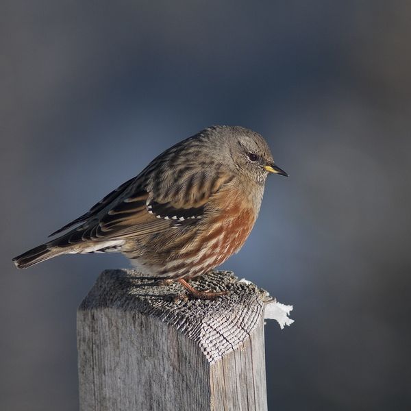
Based on naturalists’ records nearby (GBIF, iNaturalist), matched by altitude, habitat and season. Sightings are not guaranteed.
Comments
Trails nearby
All trails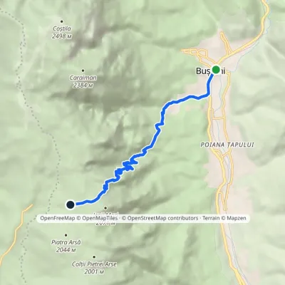 ModerateOne-dayMarkedBușteni Piatra Arsă HutElevation profile877–2 003 m8.4 kmascent 1 116 m≈ 4.5 h walking2.8 km from Bucegi Plateau
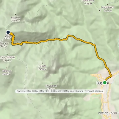 HardTwo-dayMarkedBușteni Omu HutElevation profile885–2 502 m11.8 kmascent 1 649 m≈ 6 h walking3.5 km from Bucegi Plateau
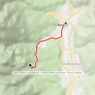 EasyOne-dayMarkedBușteni Urlătoarea WaterfallElevation profile877–1 206 m4.1 kmascent 329 m≈ 1.5 h walking3.5 km from Bucegi Plateau
Nearby attractions
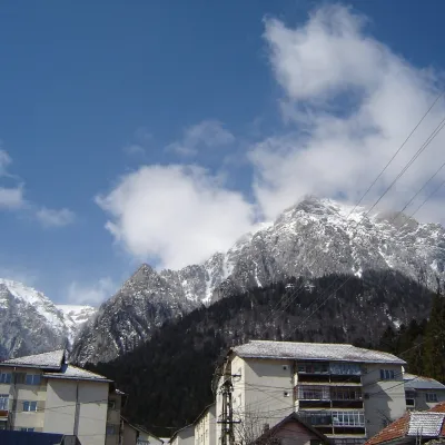 PeakCaraiman PeakBuștenialtitude 2 384 m1.9 km from Bucegi PlateauCaraiman Peak (Romanian Vârful Caraiman) is a 2,384 m summit in the Bucegi Mountains of the Southern Carpathians in Romania.
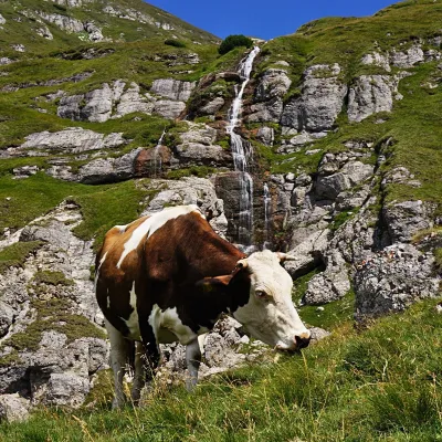 WaterfallObârșia Ialomiței Waterfall (Cascada Obârșia Ialomiței)Bușteni3.1 km from Bucegi PlateauObârșia Ialomiței Waterfall (Cascada Obârșia Ialomiței; on maps also Cascada Obârșiei) lies in the Bucegi Mountains, at the head of the Obârșia valley, at about 2,000 m.
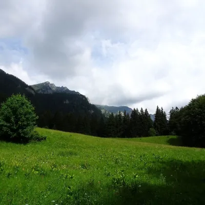 Mountain meadowPoiana StâniiSinaiaaltitude 1 273 m5.7 km from Bucegi PlateauPoiana Stânii (in full Poiana Stânii Regale, "the meadow of the royal sheepfold") is a broad mountain meadow at about 1,270 m on the Prahova side of the Bucegi...
