Poiana Izvoarelor
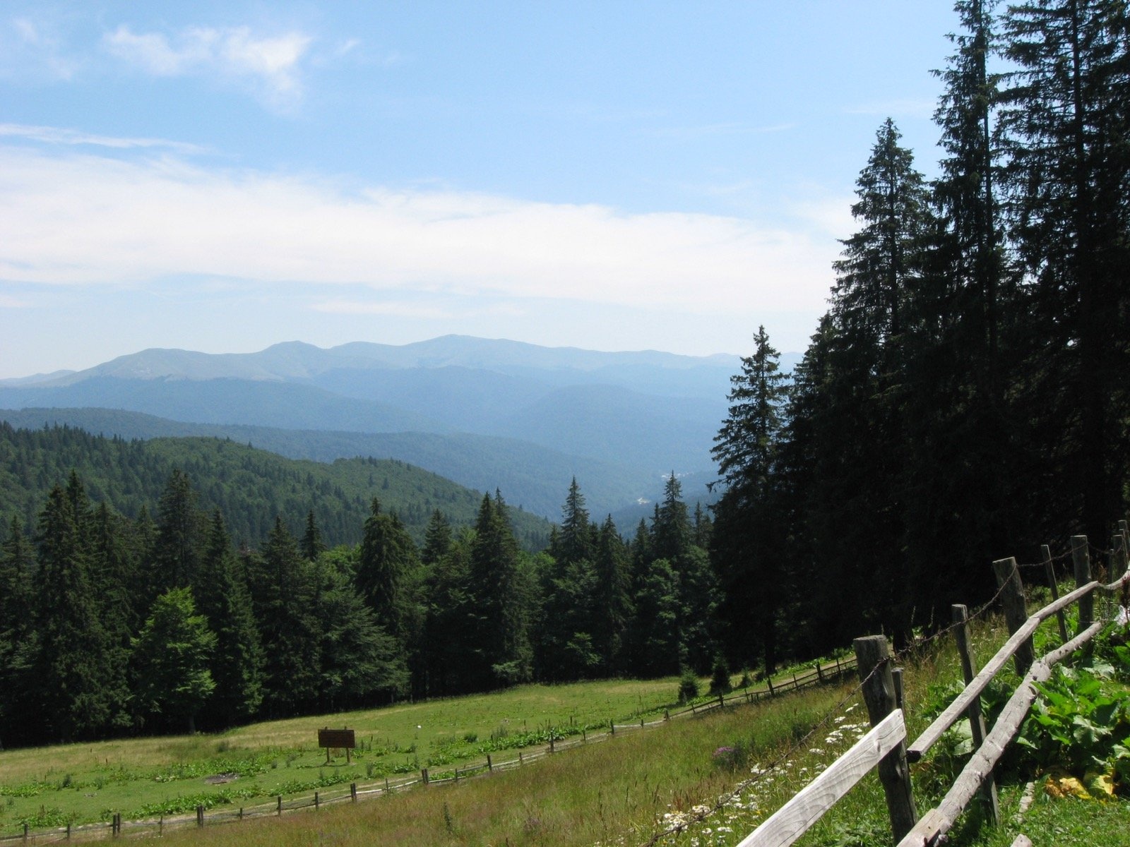
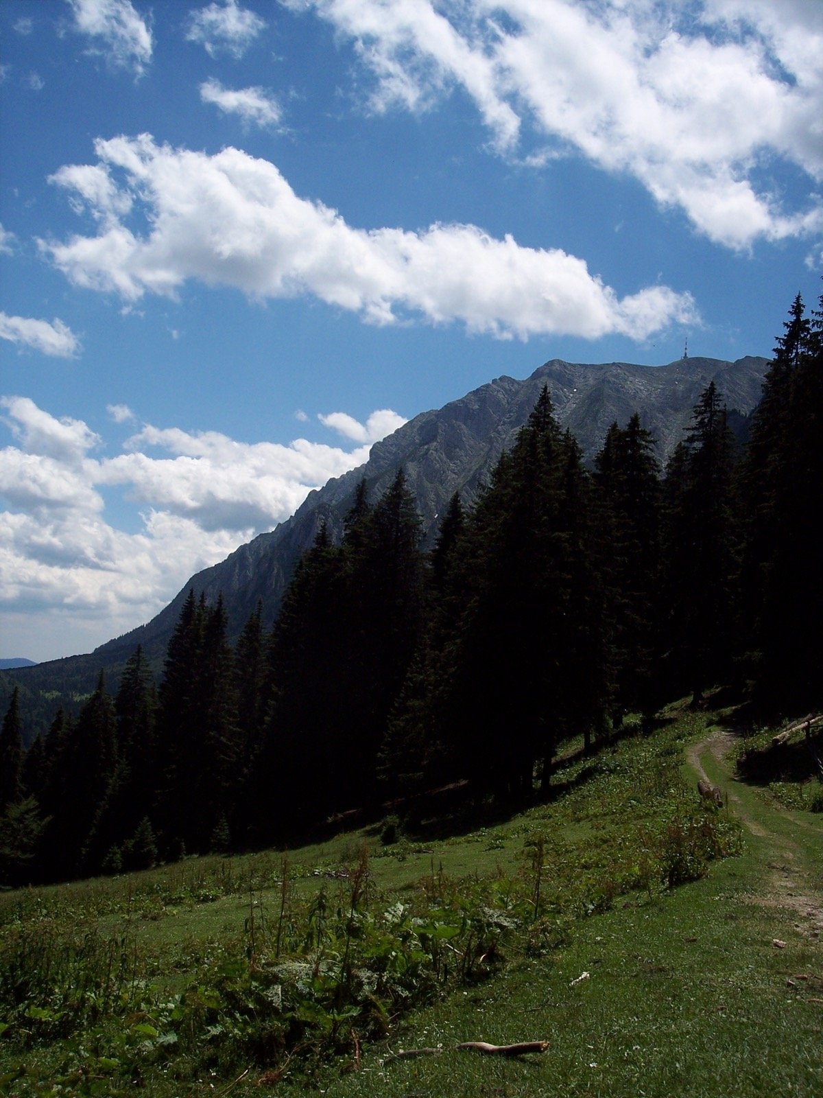
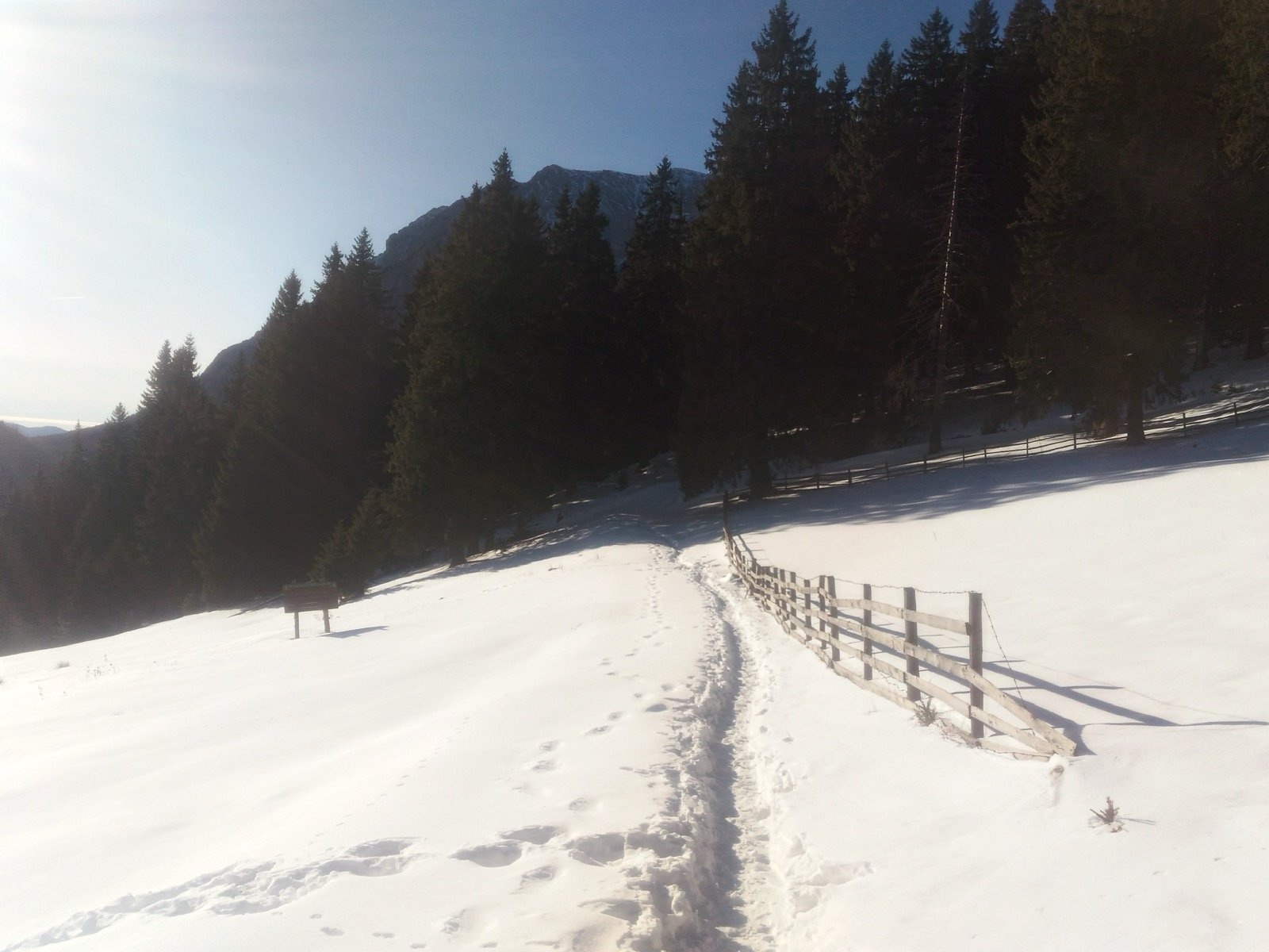
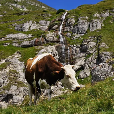
Poiana Izvoarelor ("the meadow of the springs") is a mountain meadow at about 1,455 m on the south-eastern slope of Mount Diham, in the northern part of the Bucegi Mountains above the town of Bușteni. Romanian Wikipedia describes the place as the edge of a fine fir forest; the Poiana Izvoarelor hut stands at the edge of the meadow and marks it on maps. The path explains the name: the Munții Noștri hiking atlas notes that springs and rivulets, where you can fill a bottle, cross the way up again and again.
A wooden fence runs across the meadow. A little further east route no. 45 crosses another wide meadow which, the atlas says, leads to a stână, a shepherds' summer station. From Poiana Izvoarelor you look at the northern precipices of Bucegi, of which Bucșoiu is a part.
What to see and do
- The panorama of the northern Bucegi walls — right from the grass.
- Poiana Pichetul Roșu — the next meadow to the west, named after a former border-guard post with a red roof.
- The Curmătura Armăsarilor saddle between the forested summits Diham (1,582 m) and Căpățâna Porcului (1,571 m) — 5–10 minutes above the meadow.
- The Take Ionescu path — the start of the demanding climb to Bucșoiu (2,492 m) and Omu.
How to get there
From Bușteni walk the asphalt road up the Valea Cerbului to the Gura Diham hut (987 m), 1–1.5 hours. Behind the hut route no. 11 (red stripe) climbs a forest corridor and turns left to Poiana Izvoarelor; it is another 1–1.5 hours from Gura Diham, with seven temporary streams on the way. From Poiana Diham route no. 45 (blue cross) comes over the Curmătura Armăsarilor saddle; the whole route, as far as the Șaua Baiului saddle, is 2.9 km and takes 1 h 15 min to 2 h.
Further west route no. 11 is one of the hardest in Bucegi: 14.6 km from Bușteni to the Omu hut, more than 1,800 m of ascent, 7.5–8 hours. The atlas warns that there is no water source on the five hours between Poiana Izvoarelor and Omu.
Season, rules and safety
The meadow itself can be reached all year, although in winter, the atlas says, deep snow makes route no. 45 difficult, and the climb to Bucșoiu and Omu is not recommended in winter at all. On the climb below Bucșoiu the path crosses rock slabs fitted with a cable — they are slippery in rain. Keep to the marked path and take your litter with you.
Bears live in the Romanian Carpathians: stay on the marked paths, never leave food by a tent or a car, and near flocks do not run from the sheepdogs — stop and walk calmly around the herd. Salvamont mountain rescue: national dispatch 0SALVAMONT — 0725 826 668 or 112; advice for hikers is on salvamontromania.ro.
Nearby
Poiana Diham below Măgura Cenușie, the peaks Bucșoiu and Omu, and in the south of the massif the Bucegi Plateau.
Photos: Radu Privantu, CC BY 2.0, Flickr; manuela marginean (hbunny), CC BY 2.0, Flickr; I C I, CC BY-SA 2.0, Flickr.
Getting there from Ukraine
Border crossings
- Porubne – Siret — road and pedestrian, 24/7
- Diakivtsi – Racovăț — road and pedestrian, 24/7 No freight traffic.
- Krasnoilsk – Vicovu de Sus — road and pedestrian, 08:00–20:00 Cars up to 3.5 t and pedestrians only; not 24/7.
- Solotvyno – Sighetu Marmației — road and pedestrian, 24/7 Passenger traffic only: vehicles up to 3.5 t with up to 9 seats, pedestrians.
- Diakove – Halmeu — road, 24/7 No pedestrian crossing.
By car
Chernivtsi – Bușteni ≈426 km, ≈7 h 32 min (via Diakivtsi – Racovăț); Rakhiv – Bușteni ≈454 km, ≈8 h 01 min (via Solotvyno – Sighetu Marmației); Uzhhorod – Bușteni ≈557 km, ≈9 h 15 min (via Diakove – Halmeu). Times without border queues, our road routing (GraphHopper, OSM).
Checked 03.11.2026; border crossing hours and timetables change — check before you travel.
Location on the map
Water and shelter nearby
- Poiana Izvoarelor Hut0 m · Standing · 1 455 m
- Spring below Diham970 m · Not verified · 1 384 m
- Spring below La Clește1.1 km · Not verified · 1 394 m
- Spring popas+izvor+cruce1.2 km · Not verified · 1 312 m
- Morar Spring1.2 km · Not verified · 1 368 m
- Diham Hut1.7 km · Standing · 1 320 m
- Spring below Colțul Mălinului2.5 km · Not verified · 1 581 m
- Mălăiești Spring2.9 km · Not verified · 1 086 m
Wildlife nearby
AllComments
Trails nearby
All trails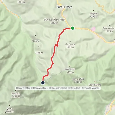 EasyOne-dayMarkedLa Șipote Poiana Pichetul RoșuElevation profile1 082–1 462 m6 kmascent 379 m≈ 2.5 h walkingunder 1 km from Poiana Izvoarelor
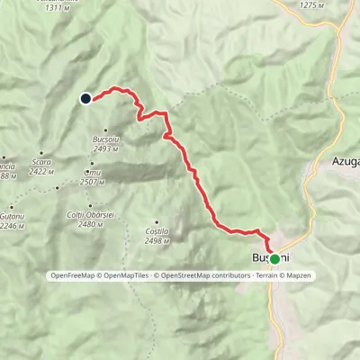 ModerateOne-dayMarkedBușteni Mălăiești HutElevation profile887–1 787 m12.1 kmascent 1 031 m≈ 5 h walkingunder 1 km from Poiana Izvoarelor
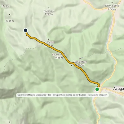 EasyOne-dayMarkedAzuga station Diham HutElevation profile935–1 448 m6.2 kmascent 531 m≈ 2.5 h walking1.3 km from Poiana Izvoarelor
Nearby attractions
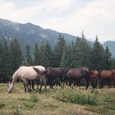 Mountain meadowPoiana DihamPârâul Recealtitude 1 350 m1.3 km from Poiana IzvoarelorPoiana Diham (Romanian: Poiana Dihamului) is a wide mountain meadow in the Diham Mountains, on the northern edge of the Bucegi massif.
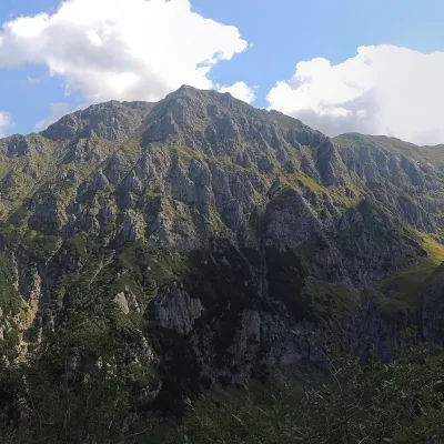 PeakBucșoiuPârâul Recealtitude 2 492 m2.8 km from Poiana IzvoarelorBucșoiu (Romanian Vârful Bucșoiu) is a 2,492 m summit in the northern part of the Bucegi Mountains. According to Romanian Wikipedia it is the third-highest peak of the...
 WaterfallObârșia Ialomiței Waterfall (Cascada Obârșia Ialomiței)Bușteni5.7 km from Poiana IzvoarelorObârșia Ialomiței Waterfall (Cascada Obârșia Ialomiței; on maps also Cascada Obârșiei) lies in the Bucegi Mountains, at the head of the Obârșia valley, at about 2,000 m.
