Obârșia Ialomiței Waterfall (Cascada Obârșia Ialomiței)
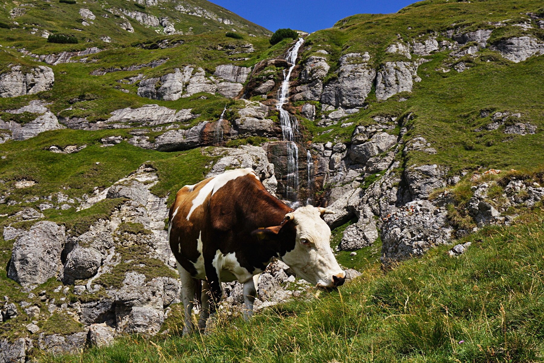
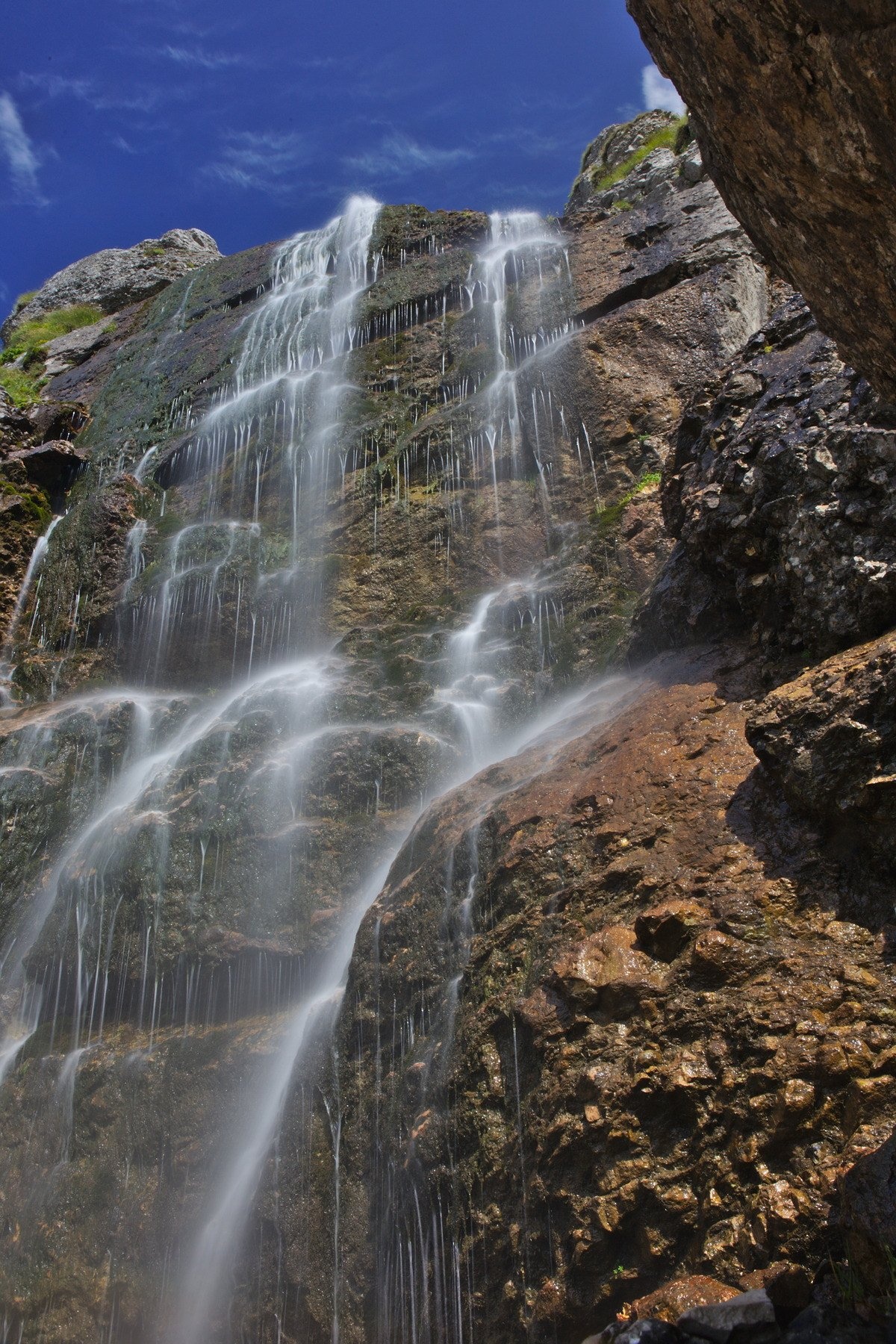
Obârșia Ialomiței Waterfall (Cascada Obârșia Ialomiței; on maps also Cascada Obârșiei) lies in the Bucegi Mountains, at the head of the Obârșia valley, at about 2,000 m. The valley is of glacial origin and consists of two cirques — a lower and an upper one — separated by a rock step; the waterfall formed on that step.
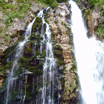
The Munții Noștri guide calls it the highest waterfall of the Southern Carpathians and the second in Romania by height of fall — more than 100 m; the water comes down not as one column but as a series of threads over rock ledges. The Ialomița river rises here.
What to see
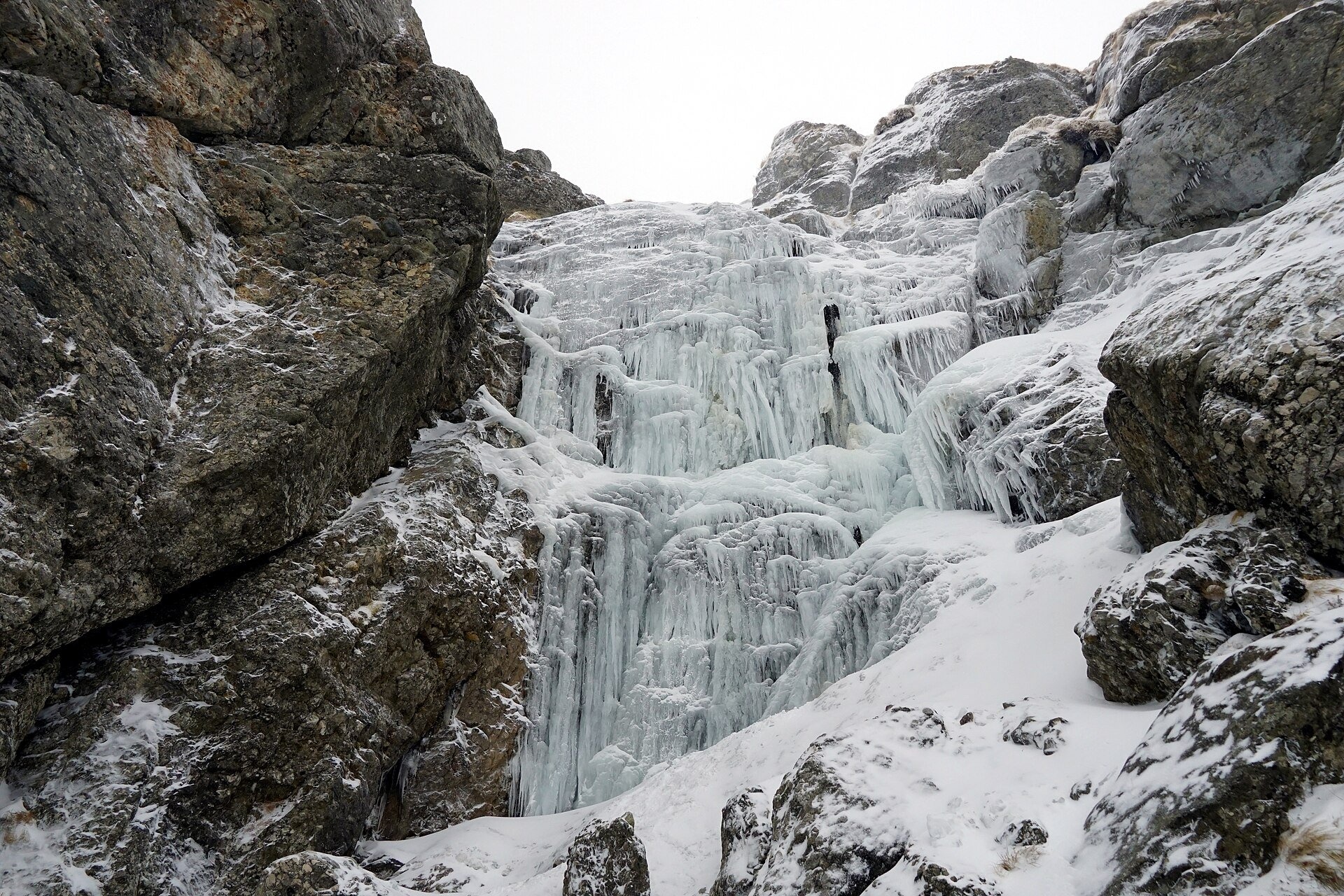
On the left the waterfall is flanked by the Obârșia mountains, on the right by the Doamnele ridge. Above the step the valley is dominated by Mecetul Turcesc, a huge limestone rock with white, almost vertical walls. In the cold season the threads freeze: Wikimedia Commons has a photograph of a solid wall of ice.
There is most water during the snow melt and after rain; at the end of a dry summer the threads grow thin.
How to get there
The waterfall is reached on the «blue band» route (01MN02 in the Munții Noștri guide), which runs from Sinaia across the Bucegi plateau to the Omu hut. The relevant section starts at Hotel Peștera in the upper Ialomița valley: the trail follows the Obârșia valley past the waterfall, climbs the glacial step and comes out in the upper cirque.
It then climbs steeply in zigzags below the Mecetul Turcesc rock to a saddle and to the Omu hut (2,507 m). Hotel Peștera is also reached by descending from the plateau at the Babele hut.
Season and safety
Munții Noștri notes that in winter the section from Hotel Peștera to the Omu hut is impassable. This is high-mountain terrain: the weather changes fast, and on the step the trail crosses rock and scree — you need mountain boots, warm clothes and time in hand. Keep to the waymarks and stay away from the edge of the step.
Bears live in the Romanian Carpathians: stay on the marked path, talk as you walk and leave no food or litter; near sheepfolds do not run from the shepherd dogs — stop and calmly walk around the flock. Mountain rescue (Salvamont): national dispatch 0SALVAMONT — 0725 826 668 or 112; the service's advice for hikers is at salvamontromania.ro.
Photos: Nicu Buculei, CC BY-SA 3.0, Wikimedia Commons; xulescu_g, CC BY-SA 2.0, Wikimedia Commons.
Getting there from Ukraine
Border crossings
- Porubne – Siret — road and pedestrian, 24/7
- Diakivtsi – Racovăț — road and pedestrian, 24/7 No freight traffic.
- Krasnoilsk – Vicovu de Sus — road and pedestrian, 08:00–20:00 Cars up to 3.5 t and pedestrians only; not 24/7.
- Solotvyno – Sighetu Marmației — road and pedestrian, 24/7 Passenger traffic only: vehicles up to 3.5 t with up to 9 seats, pedestrians.
- Diakove – Halmeu — road, 24/7 No pedestrian crossing.
By car
Chernivtsi – Bușteni ≈426 km, ≈7 h 32 min (via Diakivtsi – Racovăț); Rakhiv – Bușteni ≈454 km, ≈8 h 01 min (via Solotvyno – Sighetu Marmației); Uzhhorod – Bușteni ≈557 km, ≈9 h 15 min (via Diakove – Halmeu). Times without border queues, our road routing (GraphHopper, OSM).
Checked 03.11.2026; border crossing hours and timetables change — check before you travel.
Location on the map
Comments
Trails nearby
All trails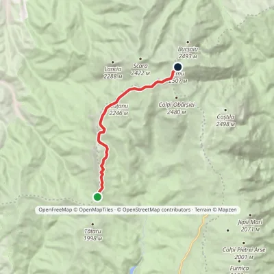 HardOne-dayMarkedStrunga Saddle Omu HutElevation profile1 904–2 502 m9.5 kmascent 761 m≈ 4 h walking1.2 km from Obârșia Ialomiței Waterfall (Cascada Obârșia Ialomiței)
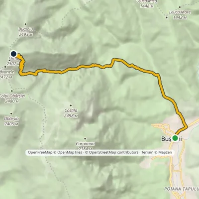 HardTwo-dayMarkedBușteni Omu HutElevation profile885–2 502 m11.8 kmascent 1 649 m≈ 6 h walking1.8 km from Obârșia Ialomiței Waterfall (Cascada Obârșia Ialomiței)
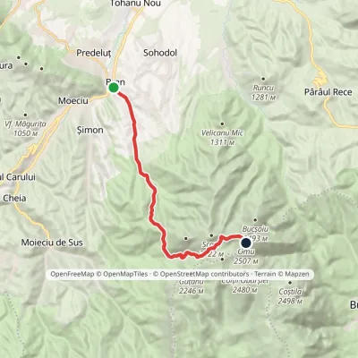 HardTwo-dayMarkedBran Omu Hutvia Poiana GauraElevation profile762–2 505 m15.5 kmascent 1 865 m≈ 7.5 h walking1.9 km from Obârșia Ialomiței Waterfall (Cascada Obârșia Ialomiței)
Nearby attractions
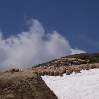 Mountain meadowBucegi PlateauBuștenialtitude 2 193 m3.1 km from Obârșia Ialomiței Waterfall (Cascada Obârșia Ialomiței)The Bucegi Plateau (Romanian: Platoul Bucegi) is a high grassy tableland in the Bucegi Mountains of Romania's Southern Carpathians.
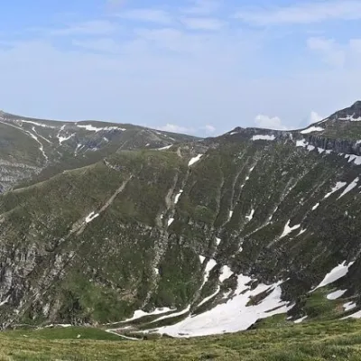 PeakCoștila PeakBuștenialtitude 2 490 m3.2 km from Obârșia Ialomiței Waterfall (Cascada Obârșia Ialomiței)Coștila Peak (Romanian Vârful Coștila) is a 2,490 m summit in the Bucegi Mountains of the Southern Carpathians in Romania.
 WaterfallUrlătoarea Waterfall (Cascada Urlătoarea)Bușteni6.6 km from Obârșia Ialomiței Waterfall (Cascada Obârșia Ialomiței)Urlătoarea Waterfall (Cascada Urlătoarea) is one of the best known in Romania. It lies on the eastern slope of the Bucegi Mountains, in the Bucegi Natural Park, very...
