Coștila Peak
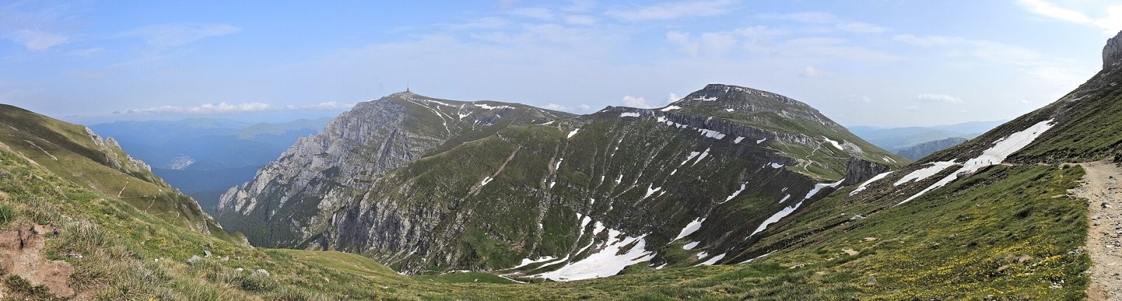
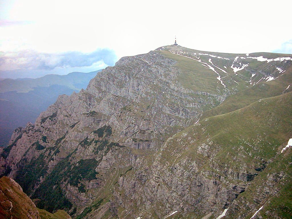
Coștila Peak (Romanian Vârful Coștila) is a 2,490 m summit in the Bucegi Mountains of the Southern Carpathians in Romania. According to Romanian Wikipedia it is the fifth-highest peak of the Bucegi, after Omu (2,514 m), Bucura Dumbravă (2,503 m), Capul Morarului (2,501 m) and Bucșoiu (2,492 m). Coștila stands on the eastern edge of the Bucegi plateau, about 4 km west of the town of Bușteni in the Prahova valley, between Caraiman to the south and Omu to the north-west.
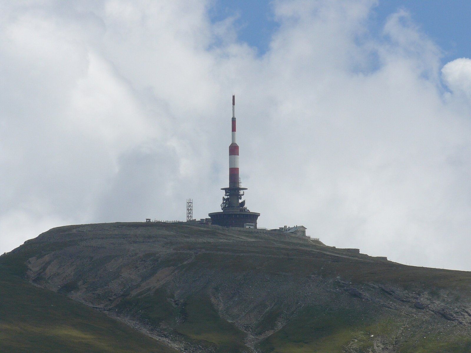
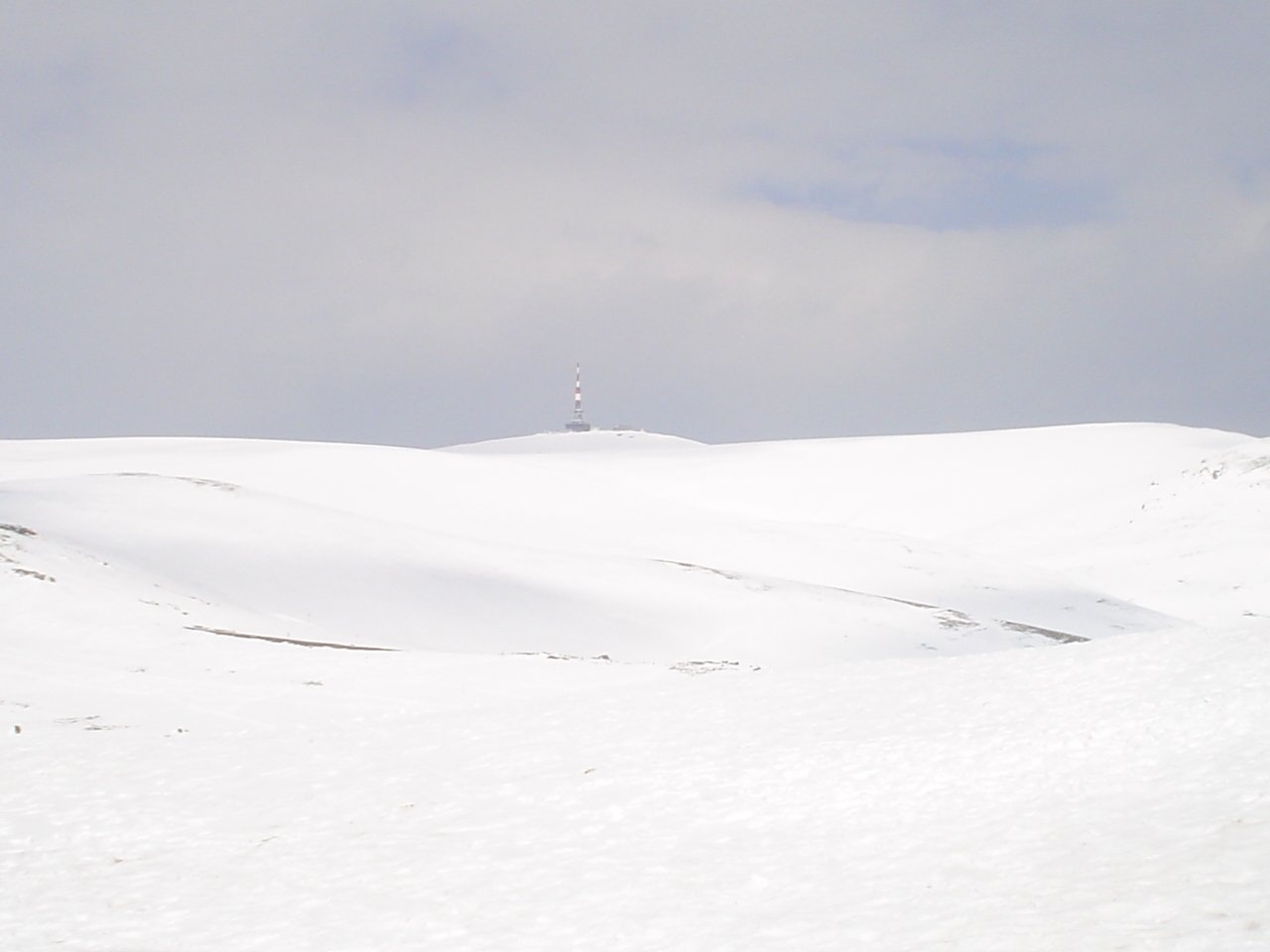
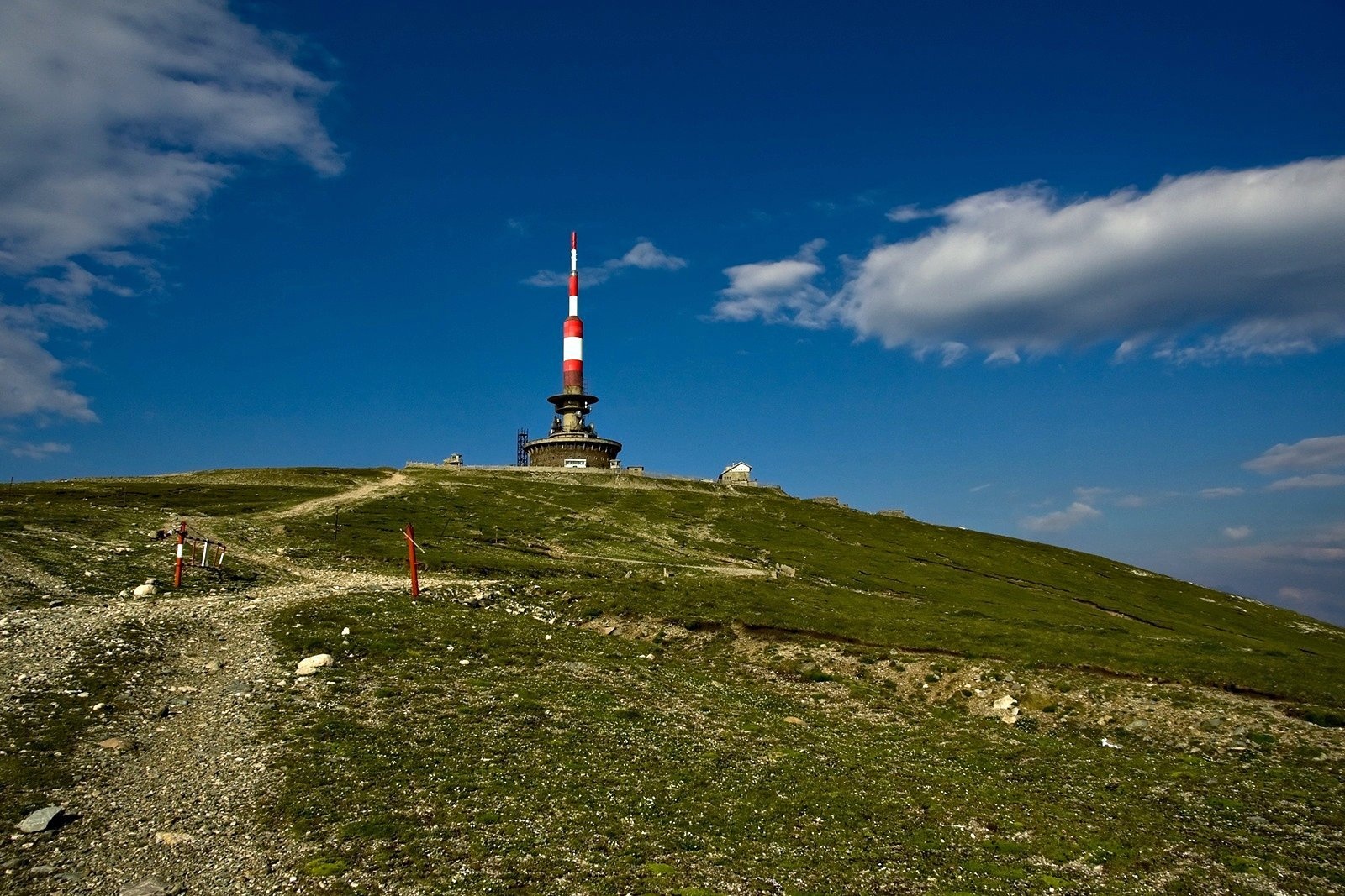
The summit is easy to recognise by its tall radio and television relay mast. According to Romanian Wikipedia, after an extension it is 106 m high (originally 80 m), so its top is the highest man-made point in Romania, 52 m above Moldoveanu in the Făgăraș. Coștila with its mast can be seen from the Piatra Mare and Postăvarul ridges, from the Baiu and Ciucaș Mountains and from the Prahova valley, and on clear days it has even been photographed from Bucharest and from the Făgăraș ridge.
How to get there / trails
The relay is a strategic site, once guarded by a military unit, and today a fence restricts access to the summit itself. There is no waymarked trail to the top. A rocky service road leads there from the plateau, while the marked trails to Omu from the upper station of the Babele cable car (about 2,170 m, 2.7 km away) cross the plateau further west. From Bușteni a yellow trail climbs to Omu via the Poiana Coștilei clearing at the foot of the mountain. The Bușteni cable-car timetable changes, so check it in advance.
What you can see from the summit
From the edge of the plateau near Coștila, according to a photographer's description on Wikimedia Commons, you can see almost the whole Prahova valley, the Heroes' Cross on Caraiman and Omu Peak. To the east, beyond the Prahova, stretch the rounded Baiu Mountains.
Nature and history
Below the summit the so-called Prahova Escarpment (Romanian Abruptul Prahovean) drops to the Prahova – one of the wildest parts of the Bucegi, with a height difference of 500–900 m. Here lie the Albă and Coștila valleys, and the walls of the Albă valley, Coștila and Gălbenele are, according to Romanian Wikipedia, the highest vertical rock faces in Romania, with countless climbing routes. The Coștila valley starts right below the relay; it is alpine in character with many waterfall steps, and snow lies on its floor until late autumn, sometimes from one year to the next. Near it, at about 1,690 m, stands the small Coștila refuge (1937, restored in 2016), looked after by the Romanian Alpine Club – a traditional meeting place for climbers.
Geologically the Bucegi are a broad syncline of Mesozoic rocks – Jurassic limestones, the so-called Bucegi conglomerates and micaceous sandstones – resting on crystalline schists. Dwarf mountain pine grows on the ledges of the Prahova Escarpment, and the rare blue honeysuckle has been found on Brâna Mare a Coștilei near the Albă valley. The Bucegi Prahova Escarpment reserve sees few visitors, which is why most of the massif's chamois have retreated here.
The name Coștila (locals also say Coștilele or Goștilele) is linked to the old goștină tax – a tithe on sheep: in past centuries the levy from the sheepfolds was collected here on this mountain.
Safety, season and rules
The summit lies in Bucegi Natural Park; a visitor ticket is required (10 lei per adult for three months, online or from the rangers). The walls and steep slopes of the Prahova Escarpment are terrain for trained climbers, not for hikers: stay on the marked paths and keep away from the edge of the plateau in fog. In winter avalanches come down the steep valleys above Bușteni – before you go, check the snow and avalanche bulletin at meteoromania.ro.
The Bucegi have many bears. The park and Salvamont advise walking in a group and talking, not hiking at dusk or at night, keeping dogs on a leash, never approaching a bear or running from it, and not leaving food near your tent. Rescue: national dispatch 0SALVAMONT – 0725 826 668 or 112. Bear advice is on the website of Bucegi Natural Park.
Photos: Xulescu g, CC BY-SA 4.0; Iulian from Bucharest, Romania, CC BY-SA 2.0; Treteen, CC BY 3.0; Horia Varlan from Bucharest, Romania, CC BY 2.0; Mitrutpopoiu at Romanian Wikipedia, Public domain — Wikimedia Commons.
Getting there from Ukraine
Border crossings
- Porubne – Siret — road and pedestrian, 24/7
- Diakivtsi – Racovăț — road and pedestrian, 24/7 No freight traffic.
- Krasnoilsk – Vicovu de Sus — road and pedestrian, 08:00–20:00 Cars up to 3.5 t and pedestrians only; not 24/7.
- Solotvyno – Sighetu Marmației — road and pedestrian, 24/7 Passenger traffic only: vehicles up to 3.5 t with up to 9 seats, pedestrians.
- Diakove – Halmeu — road, 24/7 No pedestrian crossing.
By car
Chernivtsi – Bușteni ≈426 km, ≈7 h 32 min (via Diakivtsi – Racovăț); Rakhiv – Bușteni ≈454 km, ≈8 h 01 min (via Solotvyno – Sighetu Marmației); Uzhhorod – Bușteni ≈557 km, ≈9 h 15 min (via Diakove – Halmeu). Times without border queues, our road routing (GraphHopper, OSM).
Checked 03.11.2026; border crossing hours and timetables change — check before you travel.
Location on the map
Water and shelter nearby
- Coștila Hut1.3 km · Not verified · 1 610 m
- Spring below Colțul Mălinului1.5 km · Not verified · 1 581 m
- Spring below Colțul Gălbenele1.6 km · Not verified · 1 479 m
- Băncuța Coștila Spring1.6 km · Not verified · 1 450 m
- Valea Albă Spring1.7 km · Not verified · 1 403 m
- Caraiman Hut2.1 km · Standing · 2 025 m
- Spring below Caraiman (south-west slope), 2 043 m2.1 km · Not verified · 2 043 m
- Spring below Caraiman (south-west slope), 2 026 m2.1 km · Not verified · 2 026 m
- Caraiman ”Ghost” Spring2.2 km · Not verified · 1 855 m
- Spring below Jepii Mici2.4 km · Not verified · 1 642 m
- Babele Hut2.5 km · Standing · 2 200 m
- Morar Spring2.8 km · Not verified · 1 368 m
- Spring below Claia Mica (north-west slope)2.8 km · Not verified · 1 373 m
- Izvor Mecet Spring2.8 km · Not verified · 2 279 m
- Salvamont Hut3 km · Not verified · 1 270 m
- Spring below Claia Mica (north slope)3 km · Not verified · 1 200 m
Comments
Nearby attractions
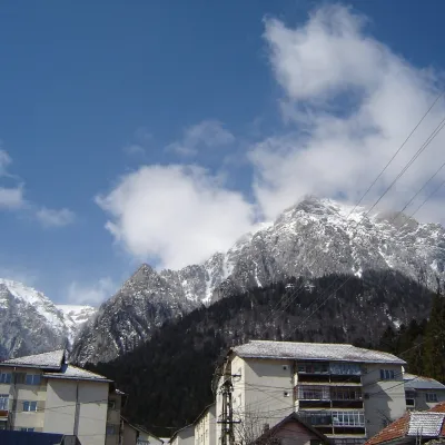 PeakCaraiman PeakBuștenialtitude 2 384 m1.4 km from Coștila PeakCaraiman Peak (Romanian Vârful Caraiman) is a 2,384 m summit in the Bucegi Mountains of the Southern Carpathians in Romania.
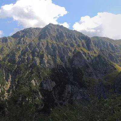 PeakBucșoiuPârâul Recealtitude 2 492 m3.6 km from Coștila PeakBucșoiu (Romanian Vârful Bucșoiu) is a 2,492 m summit in the northern part of the Bucegi Mountains. According to Romanian Wikipedia it is the third-highest peak of the...
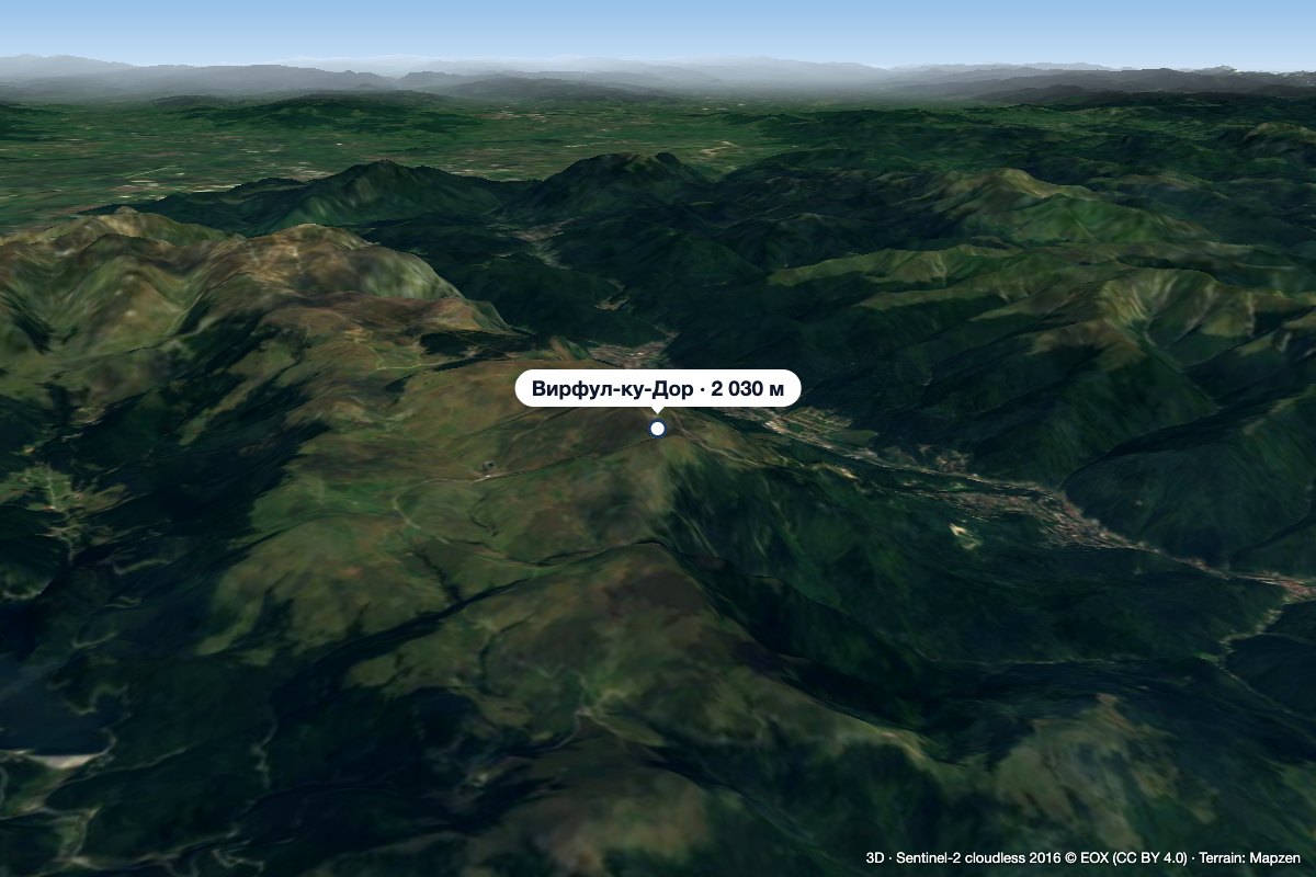 PeakVârful cu DorSinaiaaltitude 2 030 m8.4 km from Coștila PeakVârful cu Dor (literally “the Peak with Longing”) is a 2,030 m summit on the southern edge of the Bucegi plateau, above the resort of Sinaia in Prahova County.
