Urlătoarea Waterfall (Cascada Urlătoarea)
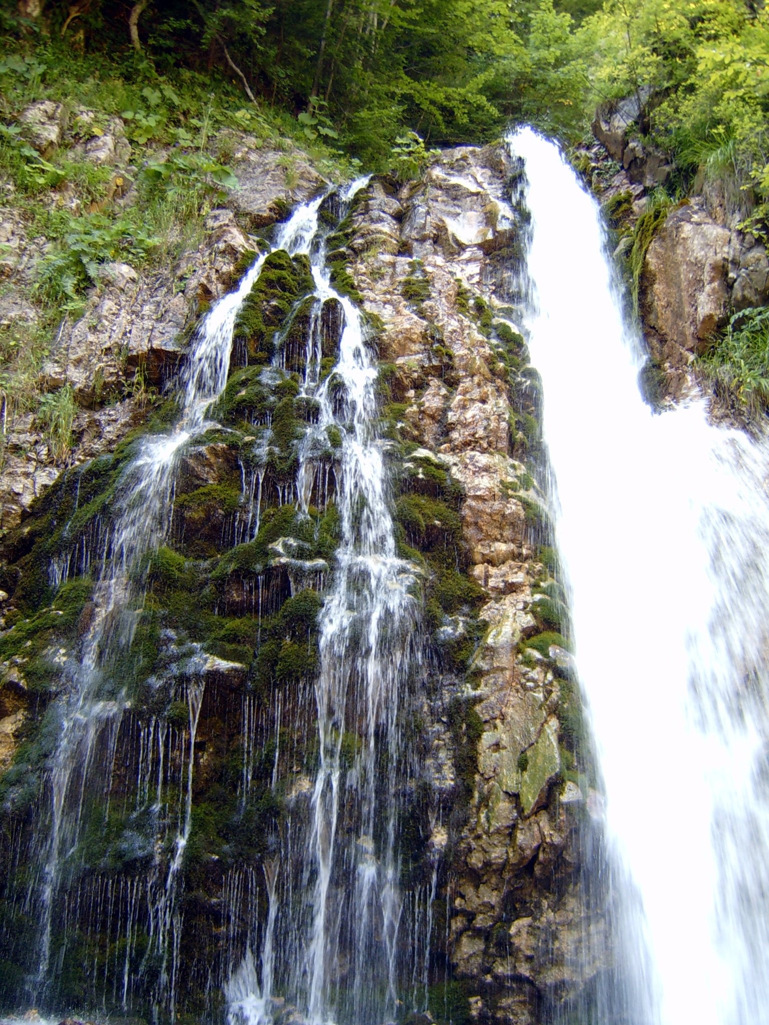
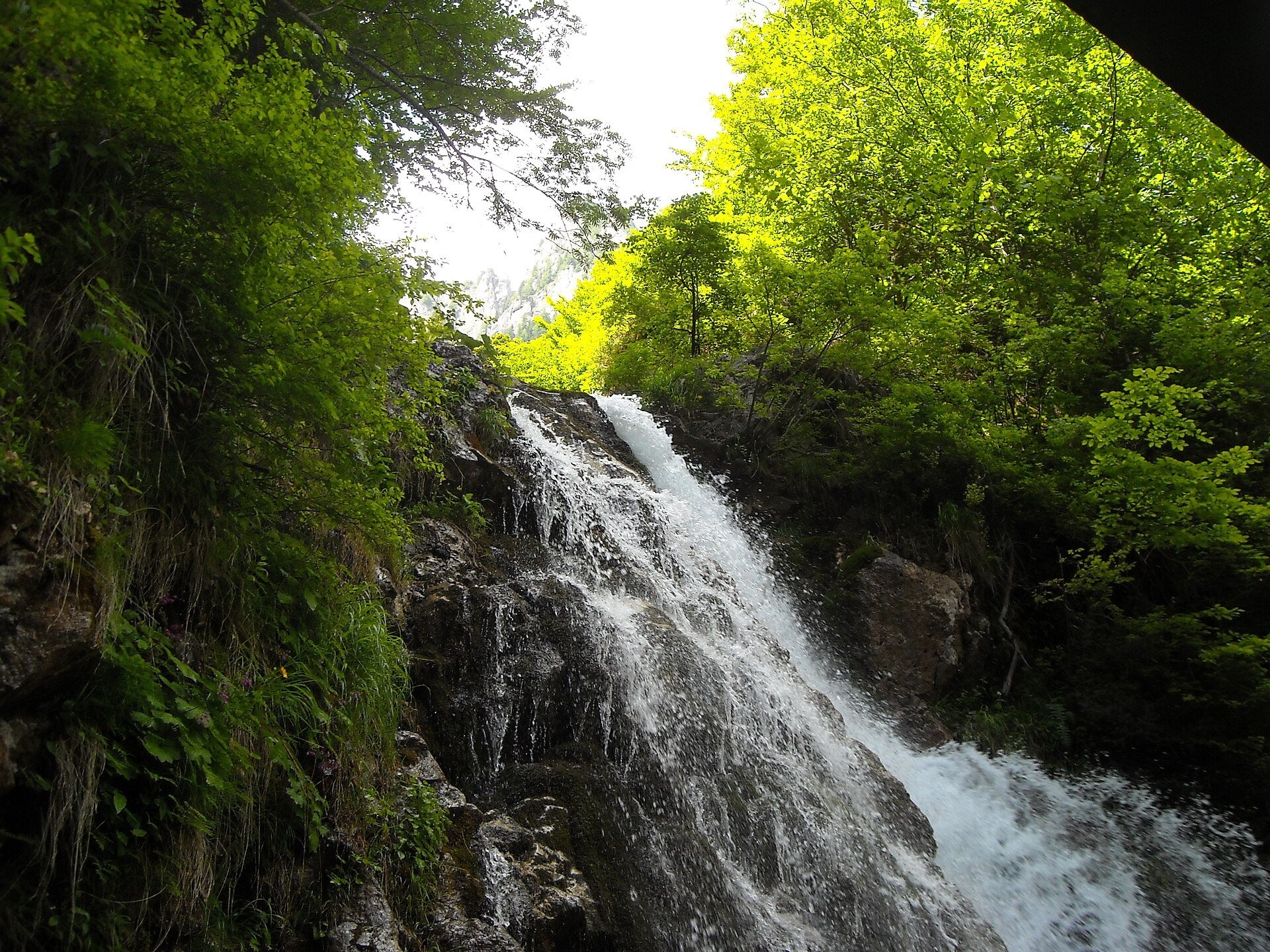
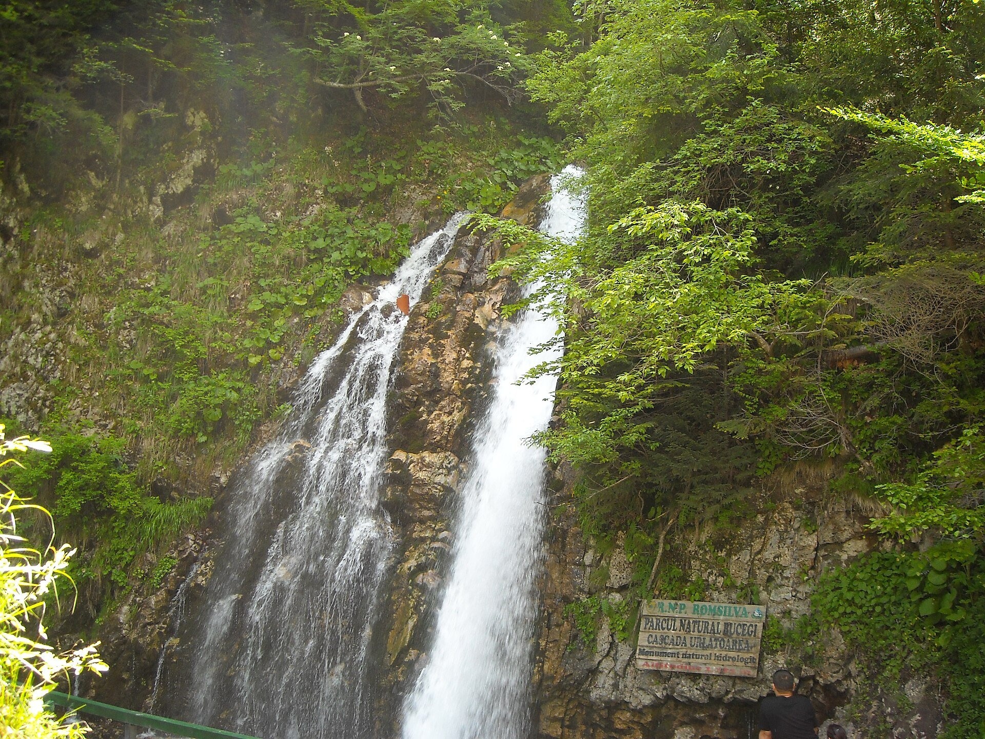
Urlătoarea Waterfall (Cascada Urlătoarea) is one of the best known in Romania. It lies on the eastern slope of the Bucegi Mountains, in the Bucegi Natural Park, very close to the resort town of Bușteni, at about 1,100 m. The main drop is 15 m; higher up, on the Urlătoarea Mare and Urlătoarea Mică streams, there are several smaller steps. According to the Munții Noștri guide the waterfall formed where the Valea Comorilor and Urlătoarea Mică valleys meet.
The name means "the howling one": it comes from the noise of the water, loudest after rain when the stream is full.
What to see
This is the easiest mountain walk in the Bucegi, so families come here. The Jepii Mari trail (blue triangle), which climbs from Bușteni to the Bucegi plateau and the Piatra Arsă hut, passes nearby — fit hikers continue along it.
How to get there
From Bușteni — trail no. 5, red dot: from the railway station to the lower cable-car station, left of it along a forest road, then on a path to the water intake and on the level to the waterfall. 3.6 km, 1 h 15 min – 1 h 30 min, about 320 m of ascent, graded easy/medium (Munții Noștri data).
From Poiana Țapului — trail no. 4, blue dot: from the railway halt up to road DN1, out of the village along Urlătoarei street, 30–40 minutes on a forest road and another 10–15 minutes through the forest in the Urlătoarea Mică valley. 2.7 km, about 45 minutes, about 310 m of ascent.
Season and safety
According to Munții Noștri both paths are passable all year and need no special equipment. On the route from Bușteni there is a steeper section of about 200 m that is slippery in rain and mud; in winter take ice grips. Signs on the trail warn that bears visit the area.
Bears live in the Romanian Carpathians: stay on the marked path, talk as you walk and leave no food or litter; near sheepfolds do not run from the shepherd dogs — stop and calmly walk around the flock. Mountain rescue (Salvamont): national dispatch 0SALVAMONT — 0725 826 668 or 112; the service's advice for hikers is at salvamontromania.ro.
Photos: Alesia17, CC BY 3.0, Wikimedia Commons; Luca Sironi, CC BY 3.0, Wikimedia Commons.
Getting there from Ukraine
Border crossings
- Porubne – Siret — road and pedestrian, 24/7
- Diakivtsi – Racovăț — road and pedestrian, 24/7 No freight traffic.
- Krasnoilsk – Vicovu de Sus — road and pedestrian, 08:00–20:00 Cars up to 3.5 t and pedestrians only; not 24/7.
- Solotvyno – Sighetu Marmației — road and pedestrian, 24/7 Passenger traffic only: vehicles up to 3.5 t with up to 9 seats, pedestrians.
- Diakove – Halmeu — road, 24/7 No pedestrian crossing.
By car
Chernivtsi – Bușteni ≈426 km, ≈7 h 32 min (via Diakivtsi – Racovăț); Rakhiv – Bușteni ≈454 km, ≈8 h 01 min (via Solotvyno – Sighetu Marmației); Uzhhorod – Bușteni ≈557 km, ≈9 h 15 min (via Diakove – Halmeu). Times without border queues, our road routing (GraphHopper, OSM).
Checked 03.11.2026; border crossing hours and timetables change — check before you travel.
Location on the map
Comments
Trails nearby
All trails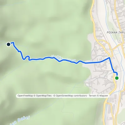 EasyOne-dayMarkedPoiana Țapului Urlătoarea WaterfallElevation profile844–1 128 m2.6 kmascent 284 m≈ 1 h walkingunder 1 km from Urlătoarea Waterfall (Cascada Urlătoarea)
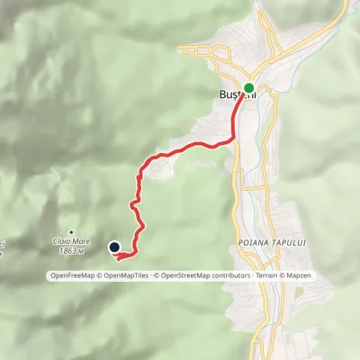 EasyOne-dayMarkedBușteni Urlătoarea WaterfallElevation profile877–1 206 m4.1 kmascent 329 m≈ 1.5 h walkingunder 1 km from Urlătoarea Waterfall (Cascada Urlătoarea)
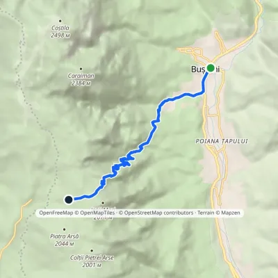 ModerateOne-dayMarkedBușteni Piatra Arsă HutElevation profile877–2 003 m8.4 kmascent 1 116 m≈ 4.5 h walkingunder 1 km from Urlătoarea Waterfall (Cascada Urlătoarea)
Nearby attractions
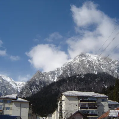 PeakCaraiman PeakBuștenialtitude 2 384 m2.8 km from Urlătoarea Waterfall (Cascada Urlătoarea)Caraiman Peak (Romanian Vârful Caraiman) is a 2,384 m summit in the Bucegi Mountains of the Southern Carpathians in Romania.
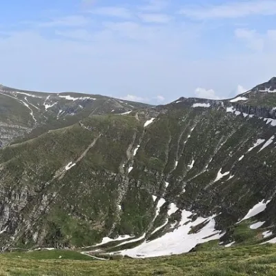 PeakCoștila PeakBuștenialtitude 2 490 m4.2 km from Urlătoarea Waterfall (Cascada Urlătoarea)Coștila Peak (Romanian Vârful Coștila) is a 2,490 m summit in the Bucegi Mountains of the Southern Carpathians in Romania.
 WaterfallObârșia Ialomiței Waterfall (Cascada Obârșia Ialomiței)Bușteni6.6 km from Urlătoarea Waterfall (Cascada Urlătoarea)Obârșia Ialomiței Waterfall (Cascada Obârșia Ialomiței; on maps also Cascada Obârșiei) lies in the Bucegi Mountains, at the head of the Obârșia valley, at about 2,000 m.
