Moroeni
Dâmbovița County · Romania
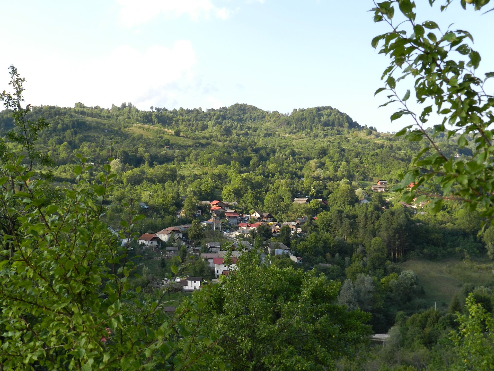
Photos: Moroeni: view of the village, the Bădău area — Dacia la putere, CC BY-SA 4.0 (Wikimedia Commons)
Moroeni is a village in Romania.
Elevation: about 545 m above sea level. Population: 1,307 (2021). Mountains nearby: Bucegi Mountains.
Here and nearby on the site: 1 trail.
Facts: Wikidata, OpenStreetMap. More on Wikipedia
What's nearby
Trails nearby
All trails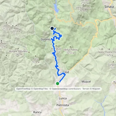 HardTwo-dayMarkedMoroeni Scropoasa HutElevation profile592–1 412 m22.8 kmascent 886 m≈ 7.5 h walking1.4 km from the centre
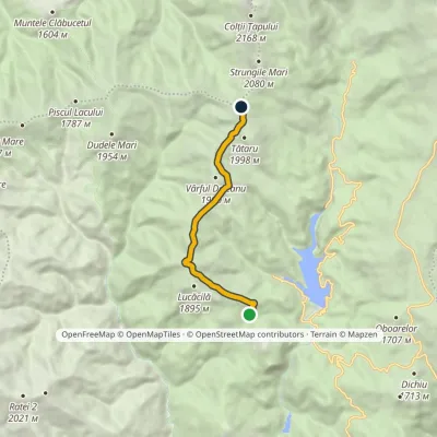 ModerateOne-dayMarkedPodu' cu Florile Hut Strungulița SaddleElevation profile1 582–1 930 m7.7 kmascent 428 m≈ 3 h walking14 km from the centre
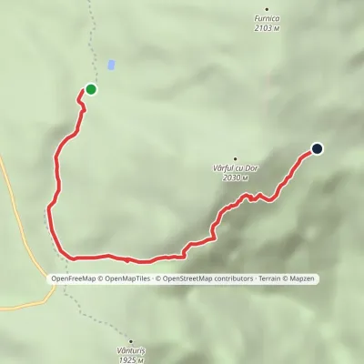 ModerateOne-dayMarkedValea Soarelui chairlift Piatra TurculuiElevation profile1 672–1 822 m4.8 kmascent 139 m≈ 1.5 h walking15 km from the centre
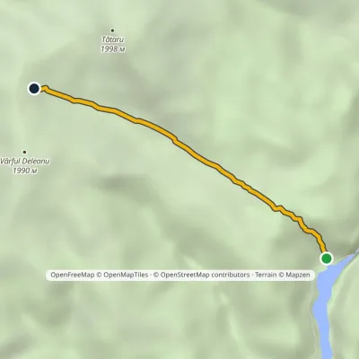 ModerateOne-dayMarkedLake Bolboci Tătaru SaddleElevation profile1 448–1 846 m3.1 kmascent 421 m≈ 1.5 h walking16 km from the centre
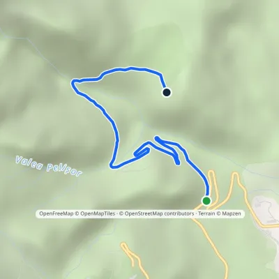 EasyOne-dayMarkedSinaia–Cota 1400 road Poiana StâniiElevation profile1 097–1 312 m3.3 kmascent 215 m≈ 1.5 h walking18 km from the centre
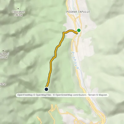 EasyOne-dayMarkedPoiana Țapului Stâna Regală HutElevation profile842–1 274 m3.5 kmascent 432 m≈ 1.5 h walking18 km from the centre
Peaks nearby
All peaks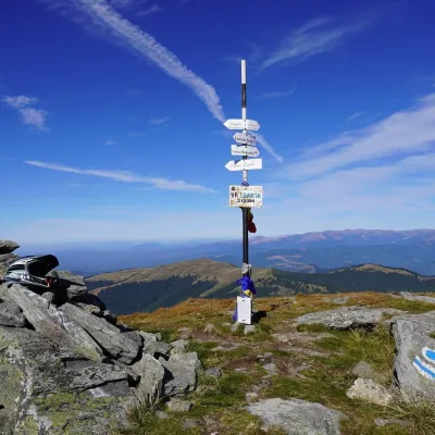 PeakLeaota PeakDobreștialtitude 2 133 m15 km from the centreLeaota Peak (Romanian Vârful Leaota) is the highest summit of the Leaota Mountains, at 2,133 m, in the Southern Carpathians of Romania.
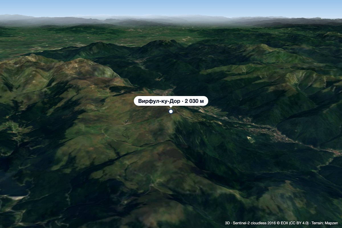 PeakVârful cu DorSinaiaaltitude 2 030 m16 km from the centre1 trail to the topVârful cu Dor (literally “the Peak with Longing”) is a 2,030 m summit on the southern edge of the Bucegi plateau, above the resort of Sinaia in Prahova County.
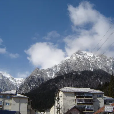 PeakCaraiman PeakBuștenialtitude 2 384 m23 km from the centreCaraiman Peak (Romanian Vârful Caraiman) is a 2,384 m summit in the Bucegi Mountains of the Southern Carpathians in Romania.
What to visit
All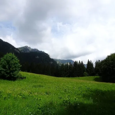 Mountain meadowPoiana StâniiSinaiaaltitude 1 273 m18 km from the centrePoiana Stânii (in full Poiana Stânii Regale, "the meadow of the royal sheepfold") is a broad mountain meadow at about 1,270 m on the Prahova side of the Bucegi...
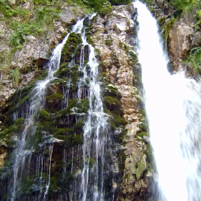 WaterfallUrlătoarea Waterfall (Cascada Urlătoarea)Bușteni21 km from the centreUrlătoarea Waterfall (Cascada Urlătoarea) is one of the best known in Romania. It lies on the eastern slope of the Bucegi Mountains, in the Bucegi Natural Park, very...
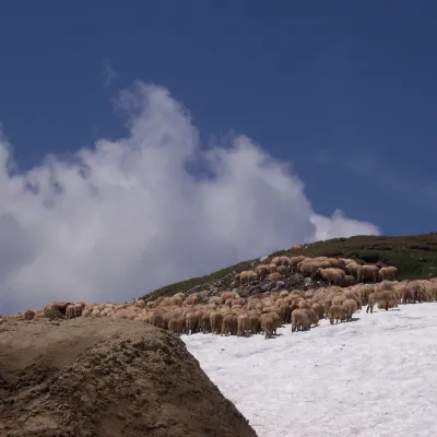 Mountain meadowBucegi PlateauBuștenialtitude 2 193 m22 km from the centreThe Bucegi Plateau (Romanian: Platoul Bucegi) is a high grassy tableland in the Bucegi Mountains of Romania's Southern Carpathians.
Getting there from Ukraine
Border crossings
- Porubne – Siret — road and pedestrian, 24/7
- Diakivtsi – Racovăț — road and pedestrian, 24/7 No freight traffic.
- Krasnoilsk – Vicovu de Sus — road and pedestrian, 08:00–20:00 Cars up to 3.5 t and pedestrians only; not 24/7.
- Solotvyno – Sighetu Marmației — road and pedestrian, 24/7 Passenger traffic only: vehicles up to 3.5 t with up to 9 seats, pedestrians.
- Diakove – Halmeu — road, 24/7 No pedestrian crossing.
By car
Chernivtsi – Bușteni ≈426 km, ≈7 h 32 min (via Diakivtsi – Racovăț); Rakhiv – Bușteni ≈454 km, ≈8 h 01 min (via Solotvyno – Sighetu Marmației); Uzhhorod – Bușteni ≈557 km, ≈9 h 15 min (via Diakove – Halmeu). Times without border queues, our road routing (GraphHopper, OSM).
Checked 03.11.2026; border crossing hours and timetables change — check before you travel.
