Leaota Peak
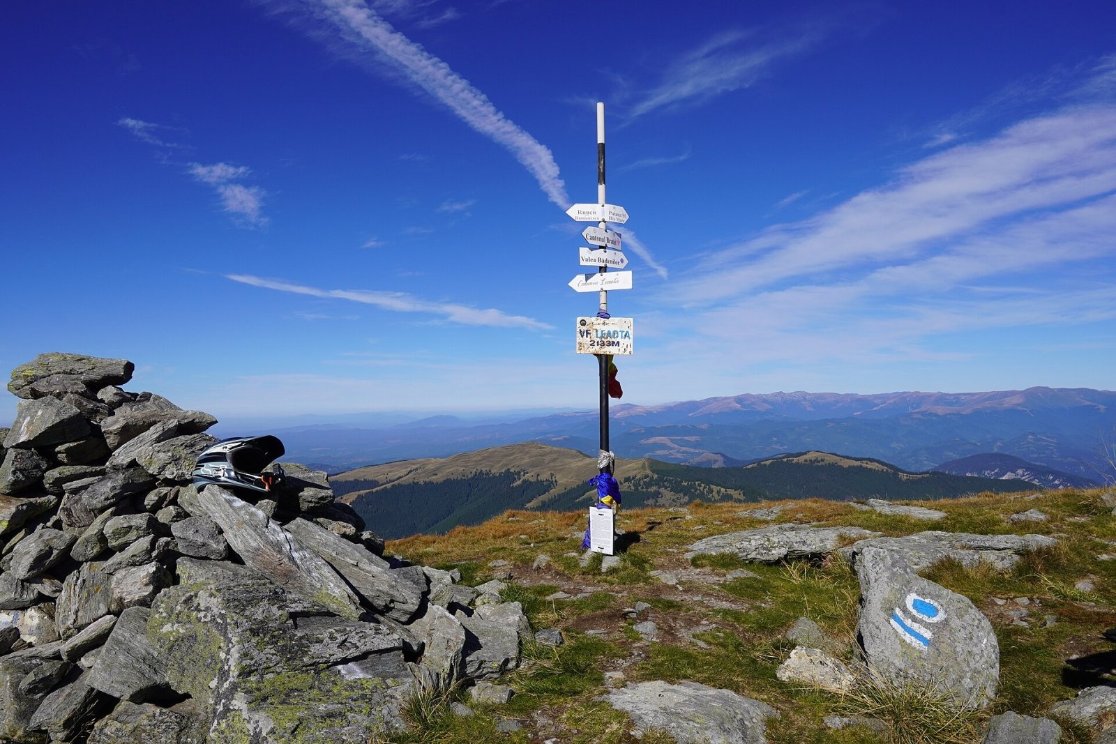
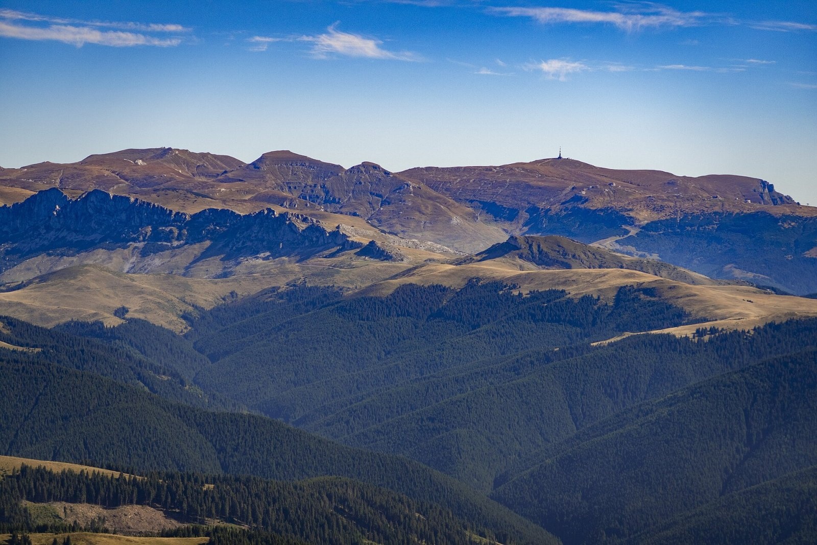
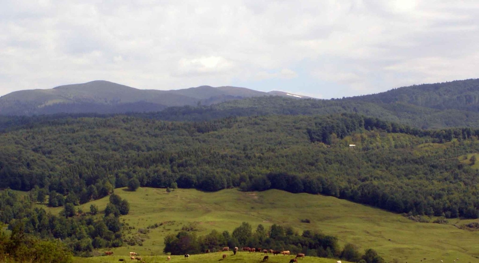
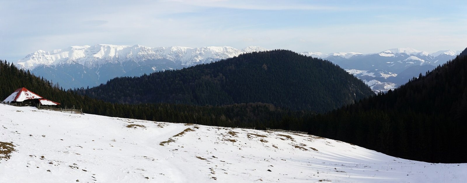
Leaota Peak (Romanian Vârful Leaota) is the highest summit of the Leaota Mountains, at 2,133 m, in the Southern Carpathians of Romania. The Leaota Mountains lie in the centre of the country, north of the city of Târgoviște, between the Bucegi massif to the east and Piatra Craiului to the west. They cover about 346 km² in three counties – Dâmbovița, Argeș and Brașov – and the peak itself stands in the middle of the massif, in Dâmbovița County. The nearest villages are Dobrești (about 8 km), Valea Bădenilor and Dragoslavele (about 12 km).
According to Romanian Wikipedia, few tourists reach the summit because it is so far from settlements. English Wikipedia also cites the lack of infrastructure, while noting the dense fir, spruce and beech forests, rich wildlife and active high-altitude pastoral lands where livestock is still grazed.
How to get there / trails
Despite its remoteness, seven waymarked trails meet on the summit. A regional route marked with a blue stripe crosses it, from Runcu in the south to the village of Podu Dâmboviței near Piatra Craiului. From the east and south-east the summit is reached by the blue dot from Bădeni via Muntele Vâja, the blue cross from Slobozia via Muntele Cioara and the red cross from the Brătei forest lodge (canton) via Muntele Răteiul. From the west, from Dragoslavele (Joseni), a yellow stripe climbs past Lake Domniței. Another blue cross leads from Cetățuia via Marginea Domnească to the former Leaota hut, from where a red triangle continues to the top.
Romanian Wikipedia suggests two approaches: from the Argeș commune of Stoenești following signs to the village of Valea Bădenilor and then to the peak, or from the Dâmbovița commune of Runcu following signs to the Dormition of the Mother of God monastery and then to the Leaota hut. The hut, at 1,330 m, was built in the 1940s; in 1962 it had running water, a generator and a buffet, with ski slopes nearby, but today the building is abandoned and serves at most as an occasional shelter. So plan to be fully self-sufficient.
What you can see from the summit
From the summit, as photos on Wikimedia Commons show, the Bucegi massif to the east is clearly visible. By position, the Piatra Craiului ridge lies to the west and the Dâmbovița valley to the south; the sources give no more detailed description of the panorama.
Nature and history
A small part of the massif belongs to the Natura 2000 site “Leaota” (ROSCI0102), about 1,378 ha in area, designated in 2007 and given special area of conservation status in 2022. It protects alpine and boreal grasslands, limestone screes and beech forests, and the species it was designated for include the bear, wolf, lynx, yellow-bellied toad and Carpathian newt. According to English Wikipedia, shepherds still use the high pastures of the Leaota.
The lack of infrastructure mentioned by English Wikipedia has its upside: the Leaota Mountains are much quieter than the neighbouring, very popular Bucegi, and nature is under less pressure from visitors.
Safety, season and rules
Because of the remoteness and the lack of shelters, a hike to Leaota must be planned carefully. Salvamont advises checking the forecast for the next 24 hours, not going alone, telling family or others your route, carrying a map, compass, torch, enough water and a charged phone, noting where you last had signal, and leaving the ridge at once if a thunderstorm comes. In winter snow covers the ridges and the waymarks beneath it.
Bears are common here. Stay on the marked paths, call out, do not hike in the evening or at night, do not keep food in your tent and hang it away from your camp. Sheepdogs near sheepfolds may rush at hikers – do not run, shield yourself with your rucksack. In an emergency call the national dispatch 0SALVAMONT – 0725 826 668 or 112; advice on animal encounters is on the Salvamont România website.
Photos: Marcu Bogdan Gabriel, CC BY-SA 4.0; Marcu Bogdan Gabriel, CC BY-SA 4.0; M-o at Romanian Wikipedia, Public domain; xulescu_g, CC BY-SA 2.0 — Wikimedia Commons.
Getting there from Ukraine
Border crossings
- Porubne – Siret — road and pedestrian, 24/7
- Diakivtsi – Racovăț — road and pedestrian, 24/7 No freight traffic.
- Krasnoilsk – Vicovu de Sus — road and pedestrian, 08:00–20:00 Cars up to 3.5 t and pedestrians only; not 24/7.
- Solotvyno – Sighetu Marmației — road and pedestrian, 24/7 Passenger traffic only: vehicles up to 3.5 t with up to 9 seats, pedestrians.
- Diakove – Halmeu — road, 24/7 No pedestrian crossing.
By car
Chernivtsi – Bușteni ≈426 km, ≈7 h 32 min (via Diakivtsi – Racovăț); Rakhiv – Bușteni ≈454 km, ≈8 h 01 min (via Solotvyno – Sighetu Marmației); Uzhhorod – Bușteni ≈557 km, ≈9 h 15 min (via Diakove – Halmeu). Times without border queues, our road routing (GraphHopper, OSM).
Checked 03.11.2026; border crossing hours and timetables change — check before you travel.
Location on the map
Water and shelter nearby
- Spring below Leaota (south-east slope)360 m · Not verified · 1 999 m
Comments
Nearby attractions
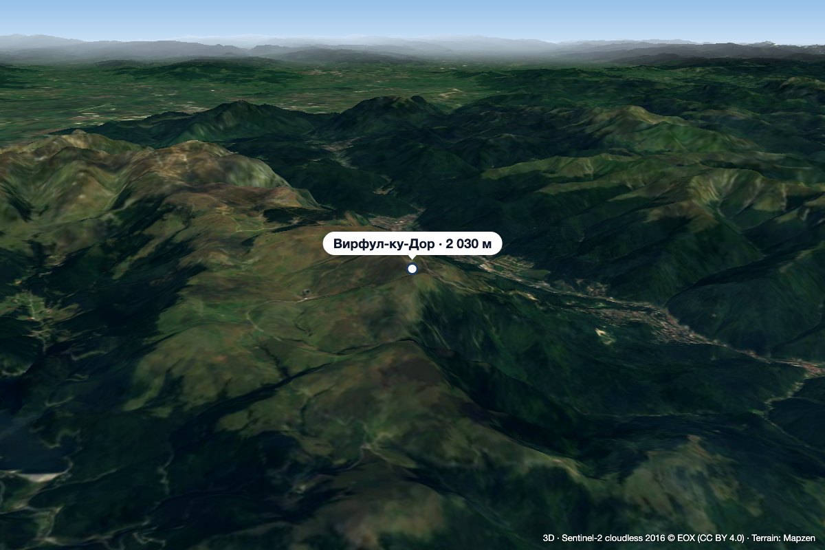 PeakVârful cu DorSinaiaaltitude 2 030 m14 km from Leaota PeakVârful cu Dor (literally “the Peak with Longing”) is a 2,030 m summit on the southern edge of the Bucegi plateau, above the resort of Sinaia in Prahova County.
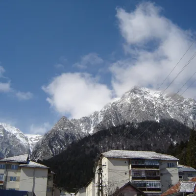 PeakCaraiman PeakBuștenialtitude 2 384 m17 km from Leaota PeakCaraiman Peak (Romanian Vârful Caraiman) is a 2,384 m summit in the Bucegi Mountains of the Southern Carpathians in Romania.
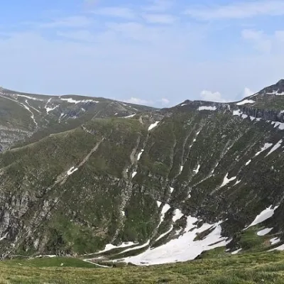 PeakCoștila PeakBuștenialtitude 2 490 m18 km from Leaota PeakCoștila Peak (Romanian Vârful Coștila) is a 2,490 m summit in the Bucegi Mountains of the Southern Carpathians in Romania.
