Pod Wysokim – Czarna Górna Kopalnia
Trail map
Route, springs and shelters: © OpenStreetMap contributors (ODbL) · elevation: Copernicus DEM © DLR e.V., © Airbus DS · Data & licences
About the trail
Route Pod Wysokim – Czarna Górna Kopalnia. Has blue marking (local route, PTTK). Waymarking data: OpenStreetMap (© OpenStreetMap contributors, ODbL).
Officially marked local tourist route. The marking is blue, the sign is a triangle in the corner. Marked and maintained by: PTTK. Length of the route — 6.3 km. Location: mountain range — Bieszczady, Poland. Part of the routes passes through Bieszczady National Park: entrance is paid, leaving the paths is prohibited.
At a glance
A short route of 6.3 km with 123 m of ascent from Pod Wysokim to Czarna Górna Kopalnia. Estimated walking time: about 2 h, not counting stops. Difficulty: easy. Waymarking: blue.
How we estimate walking time
By Naismith's rule, used by mountain clubs and guidebooks: an average hiker walks 4 km an hour on the flat and needs one more hour for every 600 m of ascent. For this trail: 6.3 km ÷ 4 = 1.6 h + 123 m ÷ 600 = 0.2 h, about 2 h of walking in total.
- Breaks, snacks and photos: add 20–30 %.
- A heavy pack, children, snow, a wet path or windfall add more; a long steep descent also takes time, especially for the knees.
- The height of the Carpathians (up to 2,655 m) hardly changes the pace — on the ridges wind, fog and weather slow you down.
- Limits: up to 9 h is one day; 9–13 h is a very long day or two; over 13 h means several days with overnight stays.
Route stages
- 0–6.5 kmGentle ups and downs at 550–630 m
Water and overnight stays
Our map shows no springs near the trail — bring your own water (at least 1 l).
When to go
The route can be walked most of the year; it is most comfortable from April to October.
Getting there
Start: Pod Wysokim.
FAQ
- How long does the route take?
- Estimated walking time: about 2 h, not counting stops.
- Is there water on the route?
- Our map shows no springs near the trail — bring your own water (at least 1 l).
Comments and trail condition
Travellers’ experience: reports, tips, questions.
No one has reported on this trail yet. Been here lately? Tell others what it is like now.
Wildlife along the route
All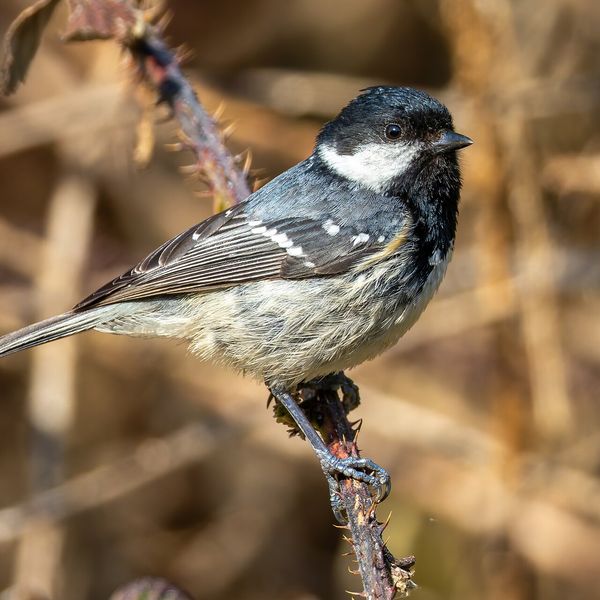

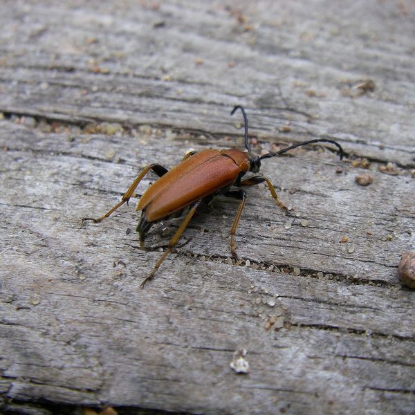
Based on naturalists’ records nearby (GBIF, iNaturalist), matched by altitude, habitat and season. Sightings are not guaranteed.
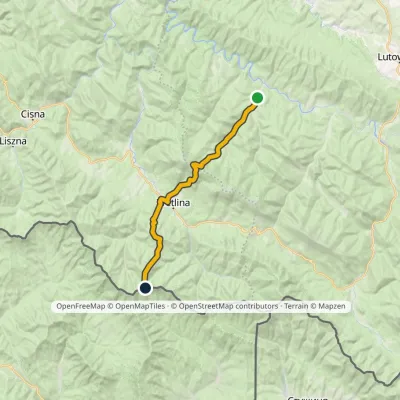
Trails nearby
All trails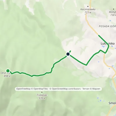
Craft nearby
All craft places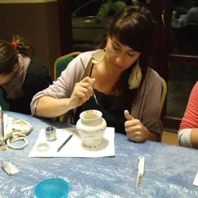 Crafts & workshopsGaleria Barak, Czarna: Bieszczady ceramics and workshopsCzarna Górna1.7 km from the trailGaleria Barak in the village of Czarna near Ustrzyki Dolne is the first private art gallery in the Bieszczady, and its story deserves telling.
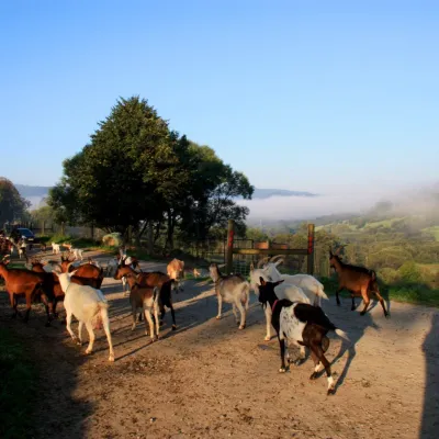 Cheese dairies & pasturesBieszczadzka Koza Goat Cheese Farm, SmolnikSmolnik11 km from the trailBieszczadzka Koza ("the Bieszczady Goat") is a family goat farm and artisan cheese dairy in the village of Smolnik on the San, in the eastern Polish Bieszczady, right...
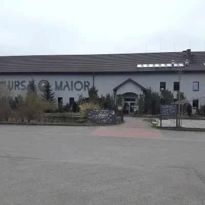 Craft beer & breweriesUrsa Maior Brewery, Uherce MineralneUherce Mineralne26 km from the trailUrsa Maior, or the Bieszczady Brewery (Bieszczadzka Wytwórnia Piwa), is an independent craft microbrewery in the village of Uherce Mineralne, between Lesko and...
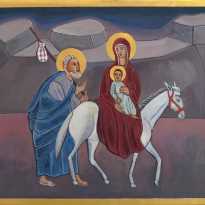 Crafts & workshopsVeraikon Icon Studio, Cisna: Carpathian icons and workshopsCisna27 km from the trailThe Veraikon Icon Studio (Pracownia Ikon Veraikon) in Cisna is, in its owners' words, the oldest and largest icon studio in the Bieszczady.
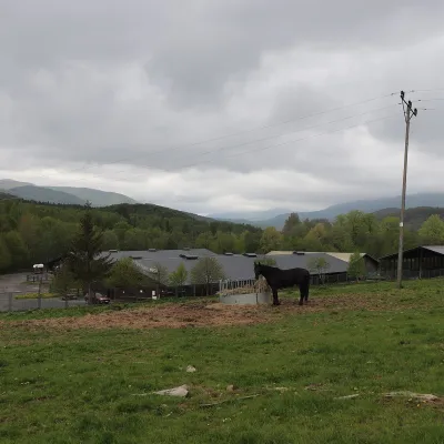 Horse ridingHucul Horse Stud in Wołosate, Bieszczady National ParkWołosate27 km from the trailWołosate is the southernmost inhabited village in Poland, tucked away in the valley of the Wołosatka stream below Tarnica, the highest peak of the Polish Bieszczady.
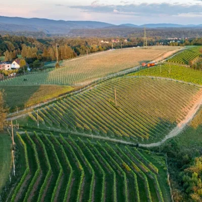 Wine & tastingsWinnica Kmiecia in Zahutyń near Sanok: tastings and eventsZahutyń40 km from the trailWinnica Kmiecia is a young winery in the village of Zahutyń between Sanok and Zagórz, where the Low Beskids meet the Bieszczady.
