Hasiakowa Skała
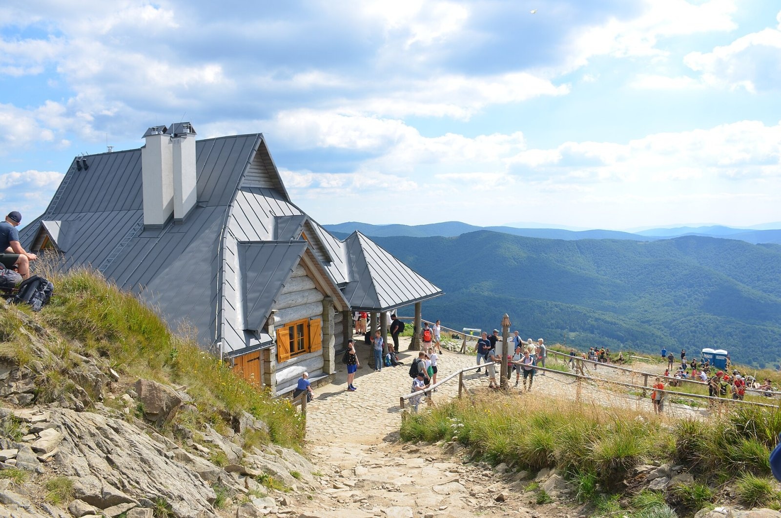
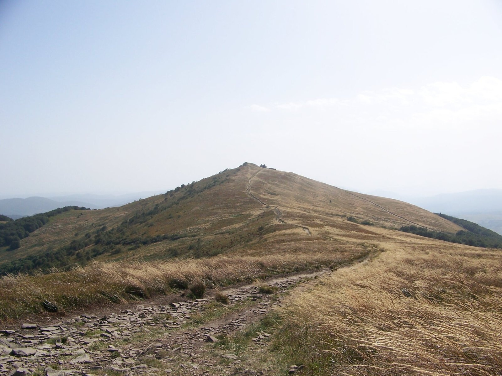
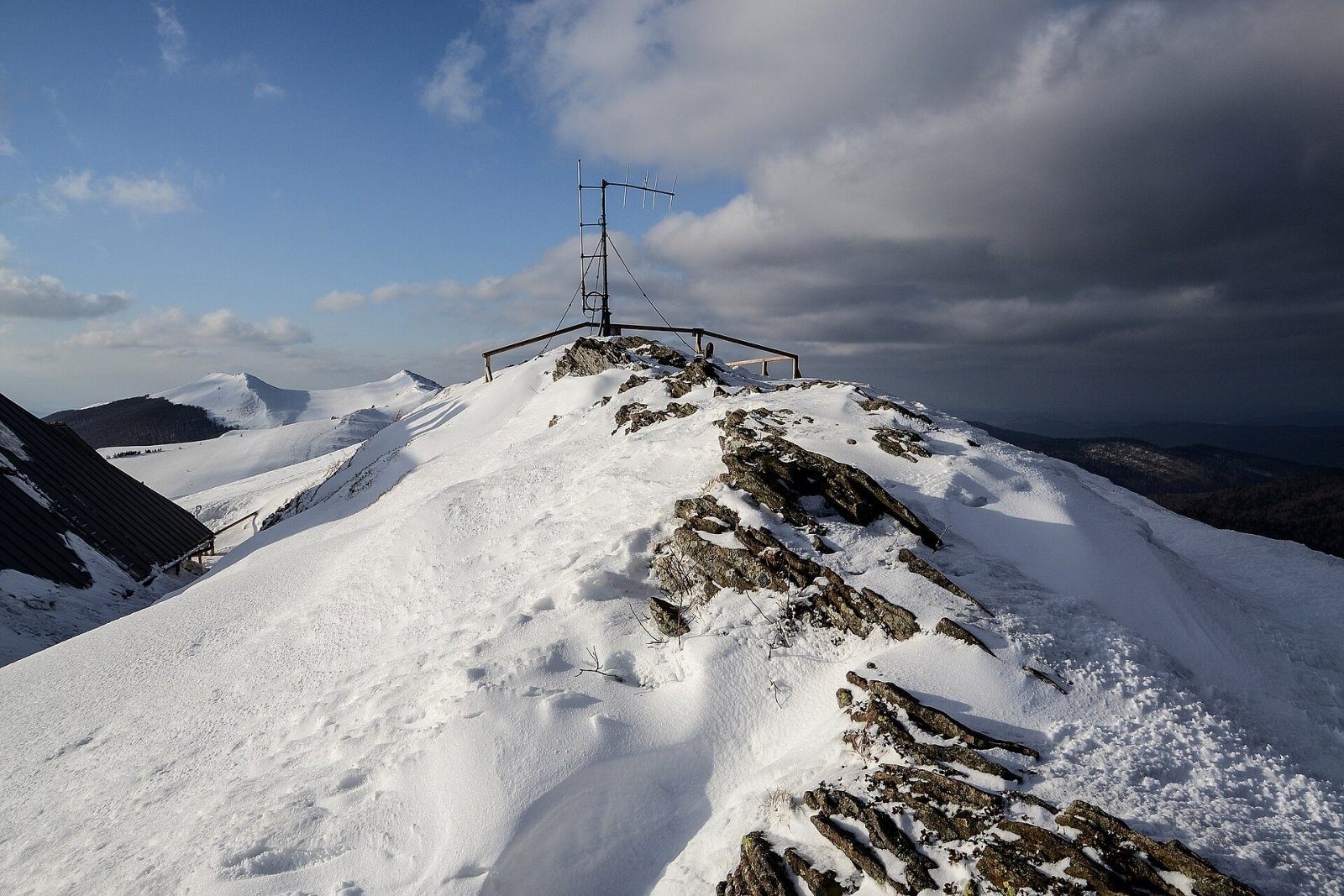
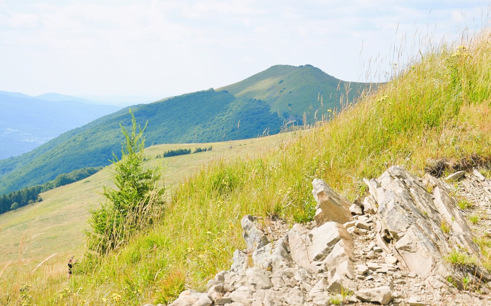
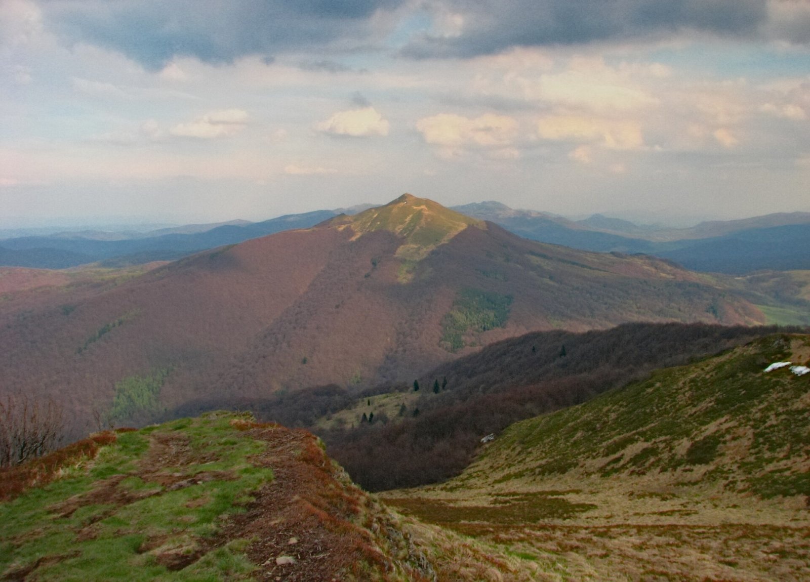
Hasiakowa Skała (1,232 m) is the easternmost culmination of Połonina Wetlińska in the Western Bieszczady. It lies in Poland, in Bieszczady National Park, north of the Wyżna Pass and west of the Prowcza stream valley; the nearest village is Brzegi Górne, some 2.3 km away. A side ridge of Jawornik and Dwernik Kamień runs north from the summit all the way to the San valley. From about 1,100 m the slopes are covered by mountain meadow, and a few metres south of the highest point stands the Chatka Puchatka shelter, the highest building in the Bieszczady.
Połonina Wetlińska is one of the most visited places in the Bieszczady. The massif has several tops: Roh (1,255 m), Osadzki Wierch (1,253 m), Hasiakowa Skała (1,232 m), Hnatowe Berdo (1,187 m) and Szare Berdo (1,108 m); to the west, beyond the Orłowicz Pass, it continues as Smerek. Hasiakowa Skała is therefore not the highest point of the meadow, but it is the best known thanks to the shelter.
Getting there / trails
- The red Main Beskid Trail (part of E8) crosses the summit: from Brzegi Górne about 1 h 40 min (1 h 10 min down), from the Orłowicz Pass 1 h 50 min, from Osadzki Wierch 50 min, and from Smerek village along the whole ridge about 4 h 50 min.
- Yellow trail from the Wyżna Pass (on the road between Wetlina and Brzegi Górne) – about 1 h up, 35 min down.
- Black, then yellow trail from the Górna Wetlinka campsite near Wetlina – about 1 h 45 min up, 1 h down.
The park nature trail «Alpine Globeflower» (Brzegi Górne – Wetlina) follows these paths. The shortest climb is from the Wyżna Pass; the most scenic is the ridge walk along Połonina Wetlińska from Smerek.
The view from the summit
The meadows of the Wetlińska massif offer wide views. From Hasiakowa Skała you look east across the Prowcza valley to Połonina Caryńska and south to the Mała and Wielka Rawka massif, while to the west the ridge of Połonina Wetlińska runs on with Osadzki Wierch and Roh.
Nature and history
The highest parts of the massif are covered by typical Bieszczady meadows, with beech forest below 1,050 m. Rare plants for Poland found here include the Carpathian catchfly, Carpathian tozzia, Dacian sedge, Kotschy's knapweed, the Bukovina and East Carpathian aconites and the East Carpathian vetchling. Before the Second World War oxen and heifers from several surrounding villages grazed the meadow, and during the First World War it saw heavy positional fighting between Russian and Austrian troops.
The Chatka Puchatka building (1,228 m) was put up after the Second World War by the army as a border-guard observation post. In 1956 it was taken over by the Polish Tourist and Sightseeing Society (PTTK), becoming a year-round staffed hut in 1967; the name was suggested by the sailor Leonid Teliga. For decades it had no running water or electricity. In 2015 a court awarded it to the national park, and in 2020–2022 a new building replaced it, opening on 24 September 2022 – without overnight accommodation. It now has rainwater tanks, a sewage plant and toilets for walkers, a seasonal GOPR post, an IMGW weather station and a park ranger base.
Safety, season and rules
The ridge of Połonina Wetlińska is open to every wind; it is dangerous in storms and fog, and in winter the trails ice over. The shelter on the summit is not a hotel: there are no beds, so plan the walk so that you are down before dark.
The summit lies within Bieszczady National Park. Under the park rules in force since 14 April 2026, entry to the trails is charged all year: a ticket costs 11 zł (reduced 5.5 zł, children under 7 free), is sold at the pay points by the trailheads or online, and is valid on all park trails on the same day. Walking is allowed on marked trails only and only between sunrise and sunset – night hiking is prohibited. Dogs are not allowed on the trails (except a few short sections, on a lead and muzzled); flying drones and leaving litter are also banned.
The Bieszczady are covered by the Bieszczady Group of the mountain rescue service GOPR (station in Ustrzyki Górne): call 985 or +48 601 100 300, or the general number 112; installing the «Ratunek» app is recommended. In winter the park advises reporting longer planned routes to the GOPR station in Ustrzyki Górne.
Photos: Silar, CC BY-SA 4.0; Red 81, CC BY-SA 4.0; Pudelek, CC BY-SA 4.0; Silar, CC BY-SA 4.0; Adrian Tync, CC BY-SA 4.0 — Wikimedia Commons.
Getting there from Ukraine
Border crossings
- Krakovets – Korczowa — road, 24/7
- Shehyni – Medyka — road, 24/7 Pedestrian crossing is not confirmed by the Ukrainian border service — check dpsu.gov.ua before the trip.
- Smilnytsia – Krościenko — road, 24/7
- Hrushiv – Budomierz — road, 24/7
- Mostyska – Przemyśl (rail) — rail, 24/7
By car
Lviv – Sanok ≈168 km, ≈3 h 20 min without queues: road to Shehyni → Shehyni – Medyka checkpoint → Przemyśl → DK28 via Bircza to Sanok (≈83 km, ≈1 h 45 min from the border). Alternative via Krakovets – Korczowa: A4 to the Radymno exit, DK77 to Przemyśl and DK28 (≈185 km from Lviv, ≈3 h 25 min). For the Bieszczady proper, Smilnytsia – Krościenko is handier: Lviv – Sambir – Staryi Sambir – border, then DK84 via Ustrzyki Dolne to Sanok (≈203 km, ≈5 h; ≈57 km from the border). From Krościenko to Ustrzyki Górne by DW896 ≈53 km (≈1 h 40 min; ≈200 km and ≈4 h 50 min from Lviv), to Wetlina by DW896 and DW897 ≈69 km (≈216 km and ≈5 h from Lviv). From Sanok: Ustrzyki Górne ≈82 km (DK84 via Lesko, then DW896, ≈1 h 35 min), Wetlina ≈72 km (DK84 to Lesko, DW894 via Baligród and Cisna, DW897, ≈1 h 20 min).
Checked 23.10.2026; border crossing hours and timetables change — check before you travel.
Location on the map
Comments
Trails nearby
All trails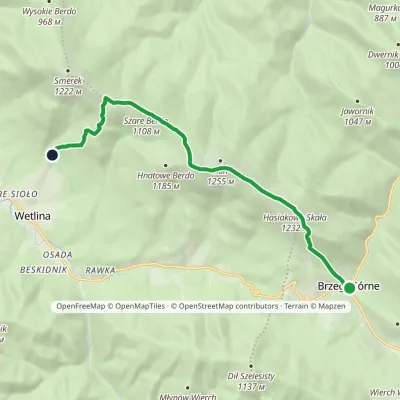 ModerateOne-dayMarkedNature trail «Globeflower» on Połonina WetlińskaElevation profile735–1 248 m10.3 kmascent 611 m≈ 4 h walkingunder 1 km from Hasiakowa Skała
 HardMulti-dayMarkedMain Trail of BeskidyElevation profile309–1 723 m499.9 kmascent 19 519 munder 1 km from Hasiakowa Skała
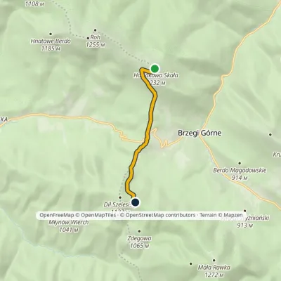 EasyOne-dayMarkedDział Chatka Puchatkavia Wyżna PassElevation profile869–1 232 m4.7 kmascent 240 m≈ 1.5 h walkingunder 1 km from Hasiakowa Skała
Nearby attractions
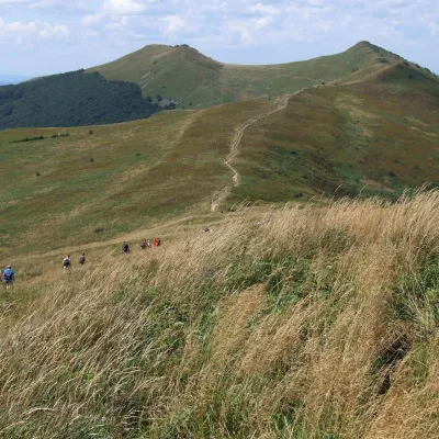 PeakOsadzki Wierchaltitude 1 253 m2.1 km from Hasiakowa SkałaOsadzki Wierch (1,253 m; other sources 1,251 m) is the second-highest top of Połonina Wetlińska in the Western Bieszczady and the highest one reached by a hiking trail...
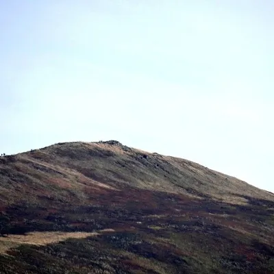 PeakKruhly Wierchaltitude 1 297 m4.4 km from Hasiakowa SkałaKruhly Wierch (also Kruhły Wierch, 1,297 m) is the highest summit of Połonina Caryńska in the Western Bieszczady.
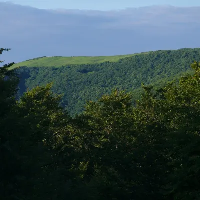 PeakMała Rawkaaltitude 1 272 m5.6 km from Hasiakowa SkałaMała Rawka (1,272 m) is a mountain in the Western Bieszczady and the highest point of the Dział ridge.
