Kruhly Wierch
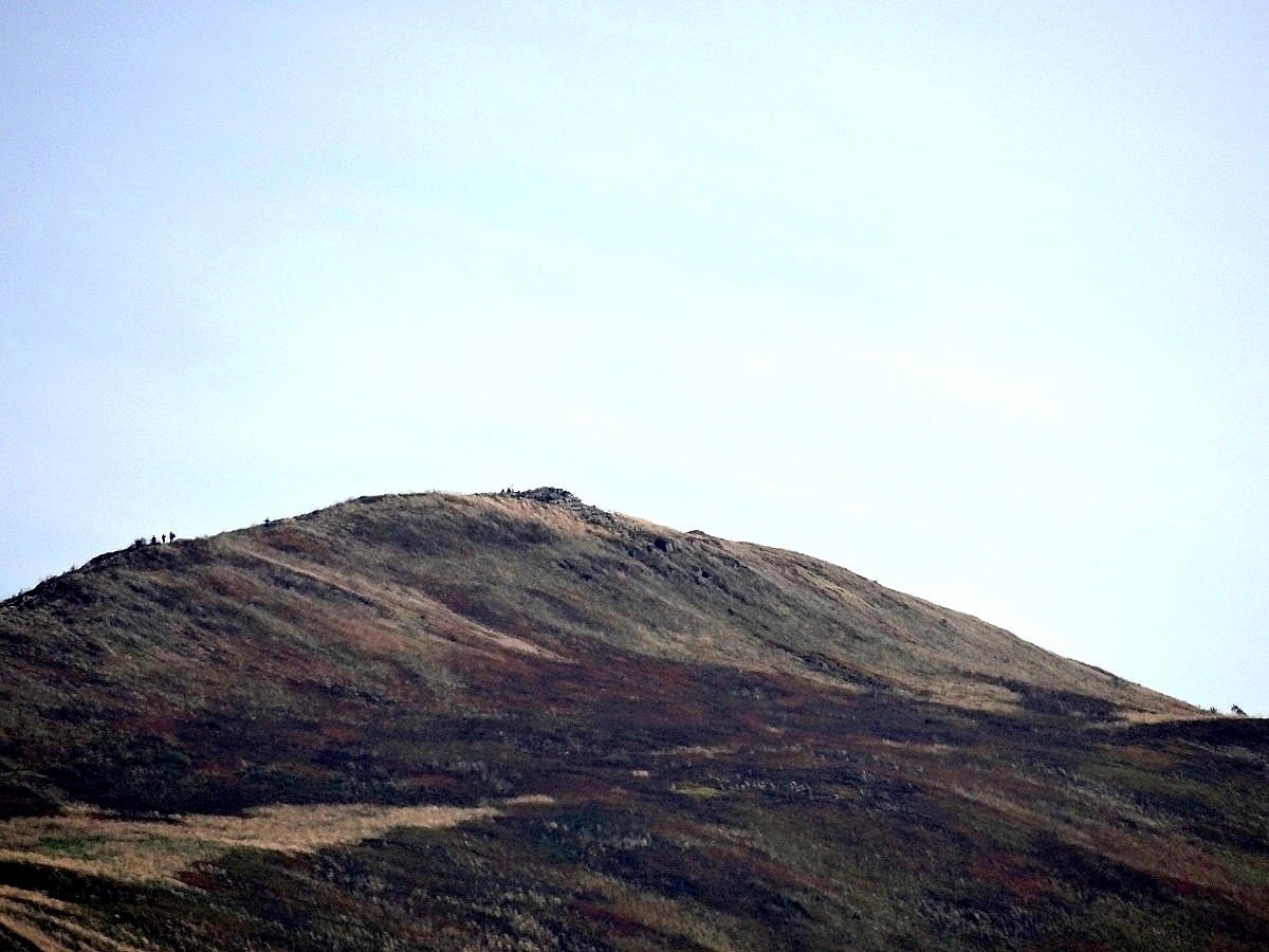
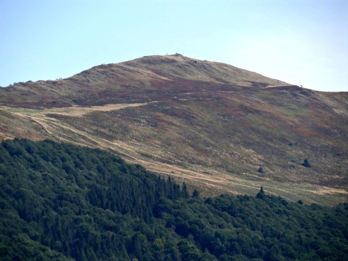
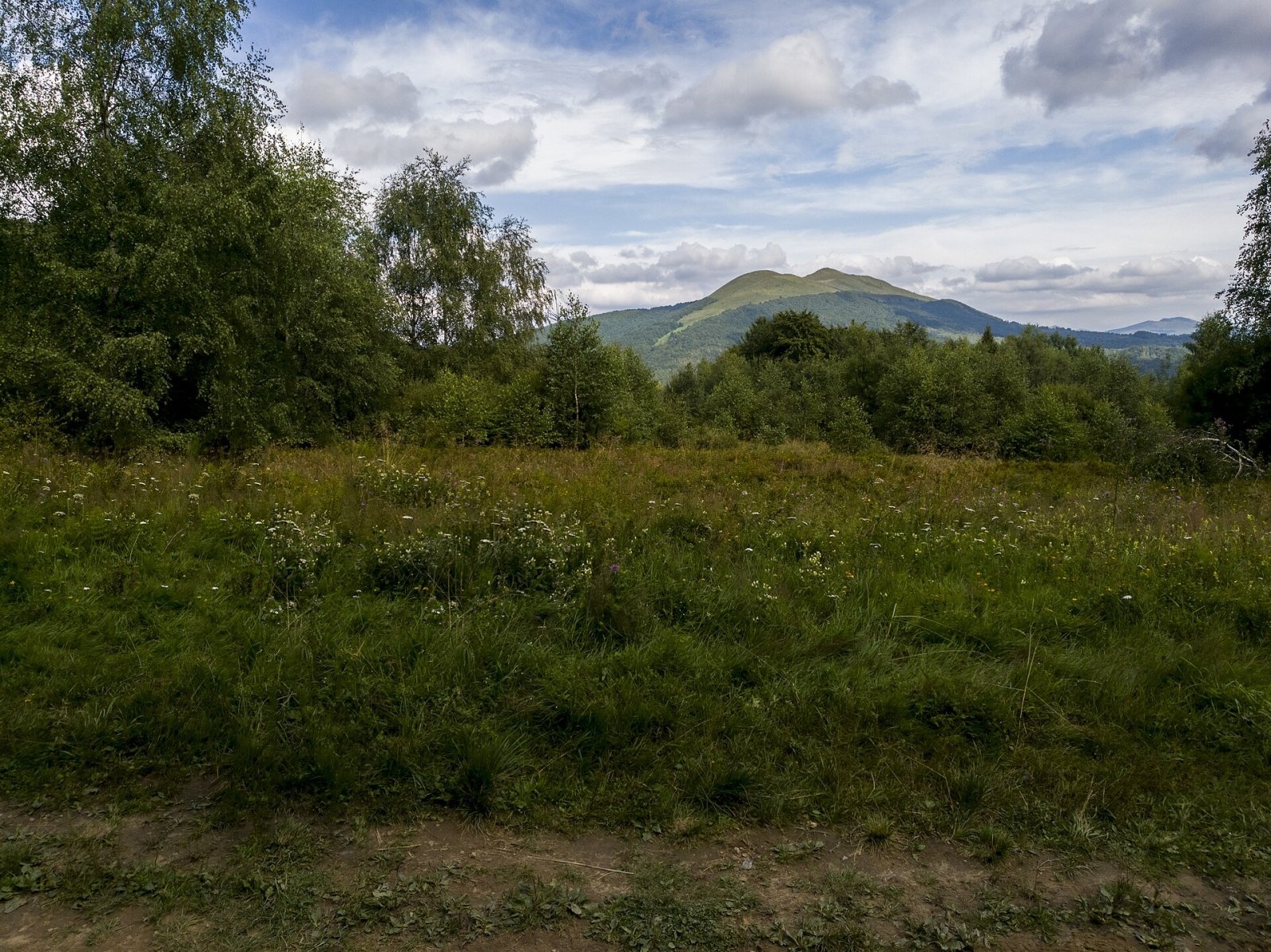
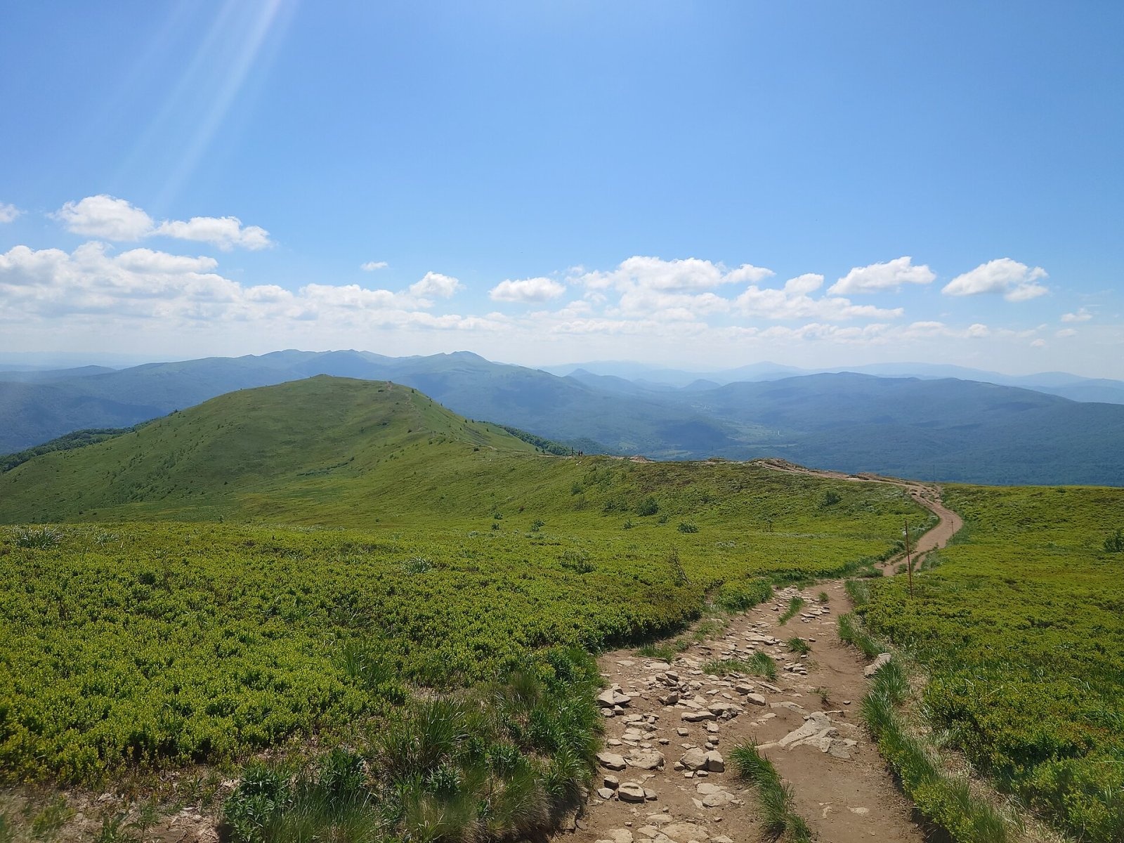
Kruhly Wierch (also Kruhły Wierch, 1,297 m) is the highest summit of Połonina Caryńska in the Western Bieszczady. Połonina Caryńska (also called Połonina Berehowska) is one of the best-known massifs of the połonina range: it lies between the valleys of the Prowcza and the Wołosaty, home to the villages of Brzegi Górne (about 2.6 km from the summit) and Ustrzyki Górne (about 5 km). To the north the Przysłup Caryński pass separates the massif from Magura Stuposiańska, and to the south it meets the Dział ridge at the Wyżniańska Pass. The whole massif belongs to Bieszczady National Park.
The massif has four tops: Kruhly Wierch (1,297 m) and lower ones of 1,245, 1,239 and 1,148 m. As on Połonina Wetlińska, the south-western slopes are short and drop steeply to the valleys, while the north-eastern side forms gentler spurs separated by the valleys of small streams.
Getting there / trails
- The red Main Beskid Trail (part of the European long-distance path E8) crosses the summit itself. From Brzegi Górne it takes about 2 h up (1 h down), from Ustrzyki Górne about 3 h (1 h 45 min down). The whole traverse of the meadow from Ustrzyki Górne to Brzegi Górne takes roughly 3 h 20 min and covers about 8.9 km.
- The green trail Wyżniańska Pass – Połonina Caryńska – Przysłup Caryński reaches the ridge and the red trail 10 minutes east of the summit. From the Wyżniańska Pass it takes about 1 h 40 min (50 min down), from Przysłup Caryński about 2 h 30 min (1 h 30 min down).
The park nature trail «Common Beech» runs along the paths between Brzegi Górne and Ustrzyki Górne. The ridge lends itself to a traverse from one village to the other; Połonina Caryńska can also be combined with Mała Rawka via the Wyżniańska Pass.
The view from the summit
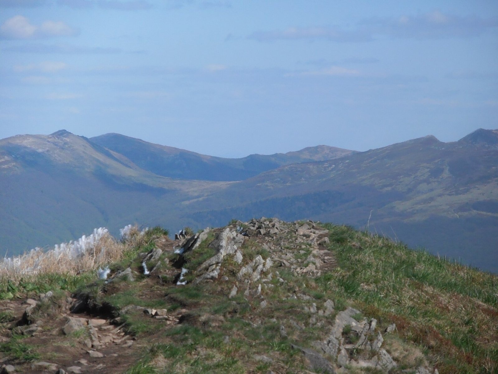
Kruhly Wierch offers an excellent view of the Sanocko-Turczańskie Mountains, Połonina Wetlińska and the Mała and Wielka Rawka massif. From the ridge of Połonina Caryńska the group of the highest peaks of the Polish Bieszczady with Tarnica and Halicz is also clearly visible. In very clear air the Ukrainian Gorgany, more than 100 km away, and even the Tatras, almost 180 km away, can be seen.
Nature and history
The meadow takes its name from the vanished village of Caryńskie, which lay at its foot, although the pastures on the ridge also belonged to Berehy Górne (today Brzegi Górne), Bereżki and Ustrzyki Górne. Grazing was still intensive here between the wars, and centuries of pasturing held back the forest, shaping today's bare summits. Połonina Caryńska is now protected within Bieszczady National Park.
Rare plants for Poland found here include thyme broomrape, alpine tozzia, Dacian sedge, the East Carpathian aconite and the Bukovina aconite.
Safety, season and rules
The ridge of Połonina Caryńska is completely open: there is no shelter from wind, storms or fog, and the weather on the meadows changes very quickly. In summer it is worth setting out early so as not to be caught on the ridge by a thunderstorm; in winter the trails can be icy.
The summit lies within Bieszczady National Park. Under the park rules in force since 14 April 2026, entry to the trails is charged all year: a ticket costs 11 zł (reduced 5.5 zł, children under 7 free), is sold at the pay points by the trailheads or online, and is valid on all park trails on the same day. Walking is allowed on marked trails only and only between sunrise and sunset – night hiking is prohibited. Dogs are not allowed on the trails (except a few short sections, on a lead and muzzled); flying drones and leaving litter are also banned.
The Bieszczady are covered by the Bieszczady Group of the mountain rescue service GOPR (station in Ustrzyki Górne): call 985 or +48 601 100 300, or the general number 112; installing the «Ratunek» app is recommended. In winter the park advises reporting longer planned routes to the GOPR station in Ustrzyki Górne.
Interesting facts
- Kruhly Wierch is just one of four tops of Połonina Caryńska, but it is the highest.
- Połonina Caryńska is also known as Połonina Berehowska, after the village of Berehy Górne (Brzegi Górne).
Photos: Gorofil, CC BY-SA 4.0; Gorofil, CC BY-SA 4.0; Konrad Borkowski, CC BY 3.0; Metselaar, J., CC BY-SA 4.0; Olek Remesz, CC BY-SA 4.0; Andrzej Otrębski, CC BY-SA 4.0 — Wikimedia Commons.
Getting there from Ukraine
Border crossings
- Krakovets – Korczowa — road, 24/7
- Shehyni – Medyka — road, 24/7 Pedestrian crossing is not confirmed by the Ukrainian border service — check dpsu.gov.ua before the trip.
- Smilnytsia – Krościenko — road, 24/7
- Hrushiv – Budomierz — road, 24/7
- Mostyska – Przemyśl (rail) — rail, 24/7
By car
Lviv – Sanok ≈168 km, ≈3 h 20 min without queues: road to Shehyni → Shehyni – Medyka checkpoint → Przemyśl → DK28 via Bircza to Sanok (≈83 km, ≈1 h 45 min from the border). Alternative via Krakovets – Korczowa: A4 to the Radymno exit, DK77 to Przemyśl and DK28 (≈185 km from Lviv, ≈3 h 25 min). For the Bieszczady proper, Smilnytsia – Krościenko is handier: Lviv – Sambir – Staryi Sambir – border, then DK84 via Ustrzyki Dolne to Sanok (≈203 km, ≈5 h; ≈57 km from the border). From Krościenko to Ustrzyki Górne by DW896 ≈53 km (≈1 h 40 min; ≈200 km and ≈4 h 50 min from Lviv), to Wetlina by DW896 and DW897 ≈69 km (≈216 km and ≈5 h from Lviv). From Sanok: Ustrzyki Górne ≈82 km (DK84 via Lesko, then DW896, ≈1 h 35 min), Wetlina ≈72 km (DK84 to Lesko, DW894 via Baligród and Cisna, DW897, ≈1 h 20 min).
Checked 23.10.2026; border crossing hours and timetables change — check before you travel.
Location on the map
Comments
Trails nearby
All trails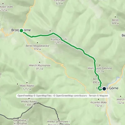 ModerateOne-dayMarkedNature trail «Common Beech» on Połonina CaryńskaElevation profile655–1 297 m8.6 kmascent 580 m≈ 3.5 h walkingunder 1 km from Kruhly Wierch
 HardMulti-dayMarkedMain Trail of BeskidyElevation profile309–1 723 m499.9 kmascent 19 519 munder 1 km from Kruhly Wierch
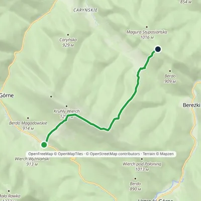 EasyOne-dayMarkedWyżniańska Pass Magura StuposiańskaElevation profile777–1 240 m7.1 kmascent 594 m≈ 3 h walkingunder 1 km from Kruhly Wierch
Nearby attractions
 PeakMała Rawkaaltitude 1 272 m3.8 km from Kruhly WierchMała Rawka (1,272 m) is a mountain in the Western Bieszczady and the highest point of the Dział ridge.
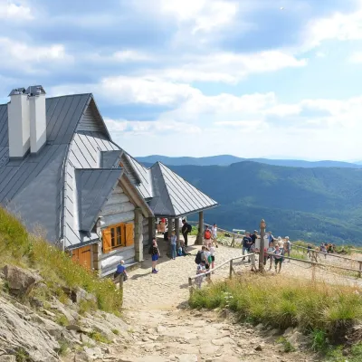 PeakHasiakowa Skałaaltitude 1 232 m4.4 km from Kruhly WierchHasiakowa Skała (1,232 m) is the easternmost culmination of Połonina Wetlińska in the Western Bieszczady.
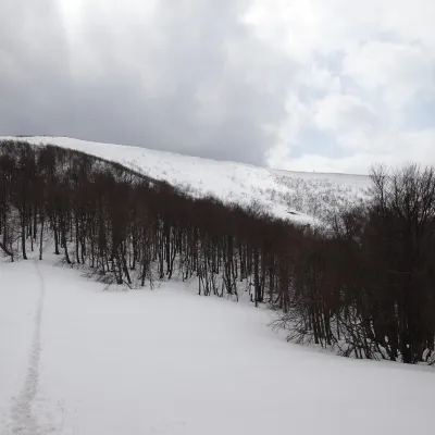 PeakWielka Rawkaaltitude 1 307 m4.7 km from Kruhly WierchWielka Rawka (1,307 m) is the highest summit of the border range of the Western Bieszczady. It lies in Poland, inside Bieszczady National Park, some 5.4 km south-west...
