Wielka Rawka
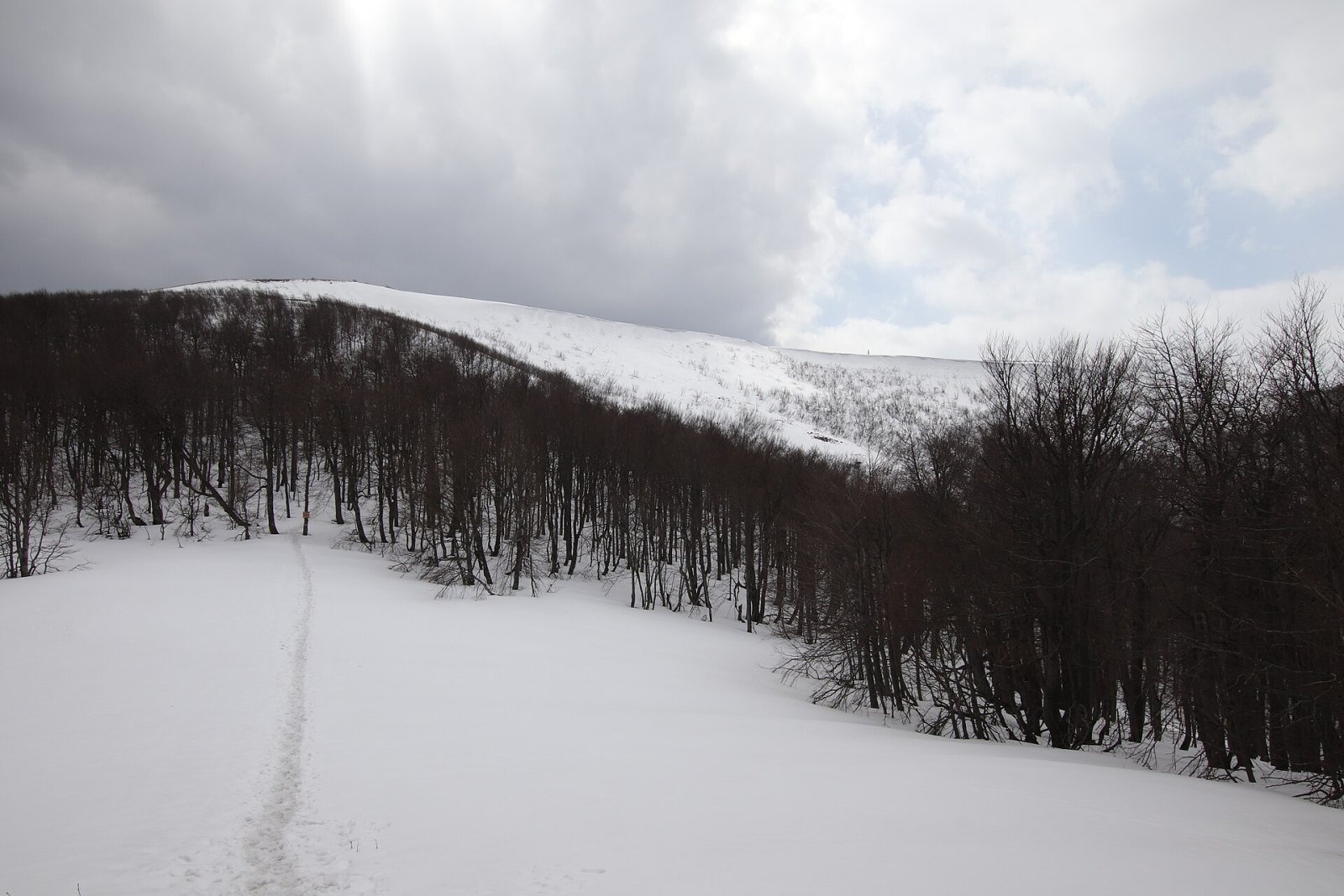
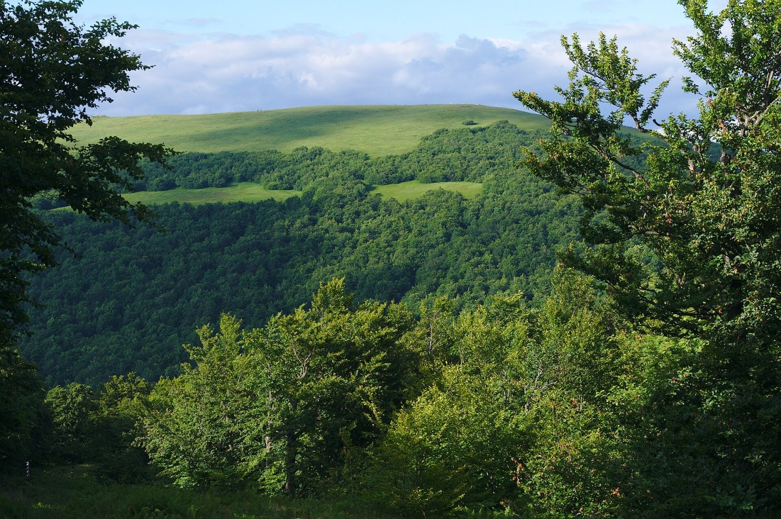
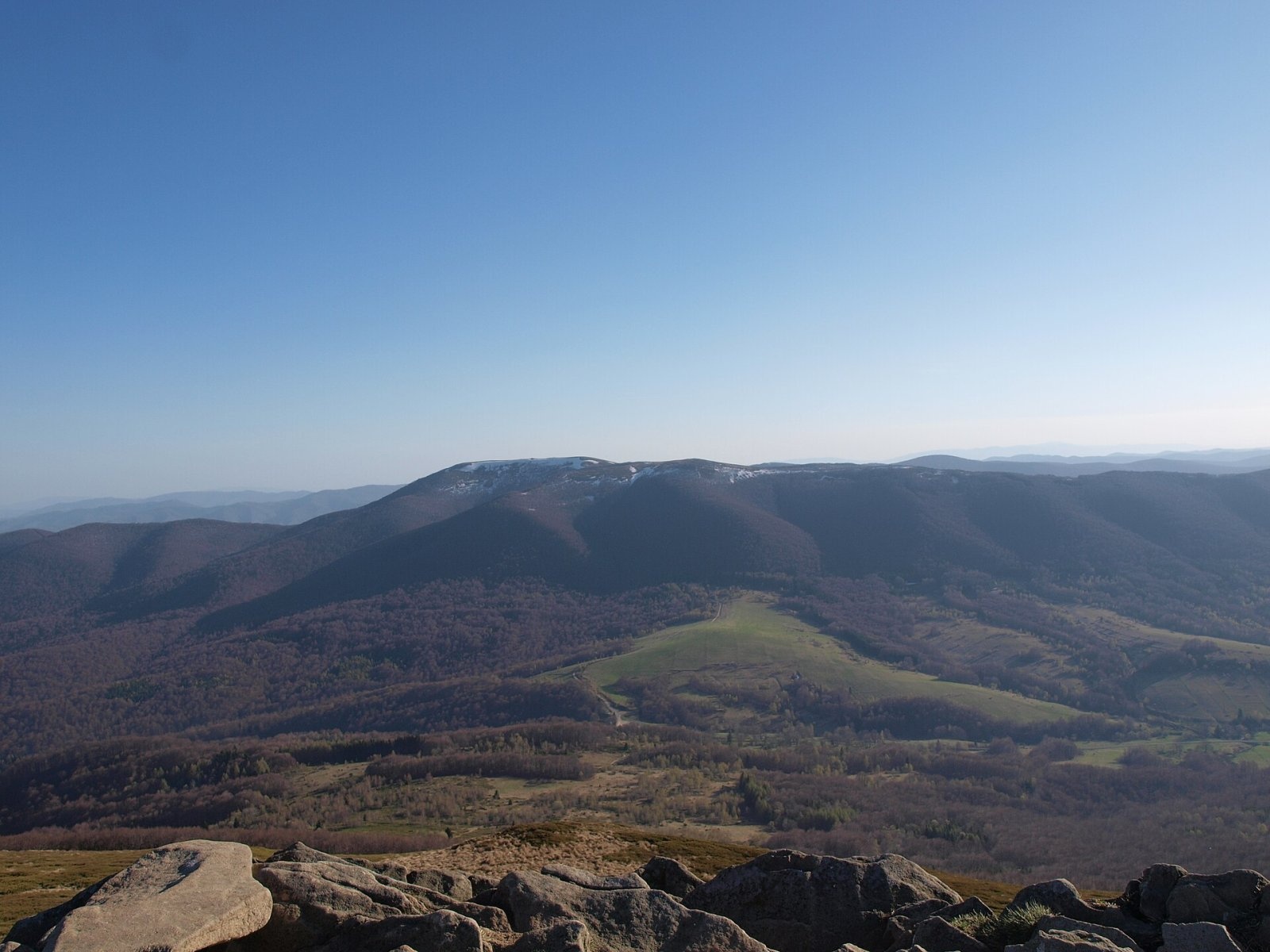
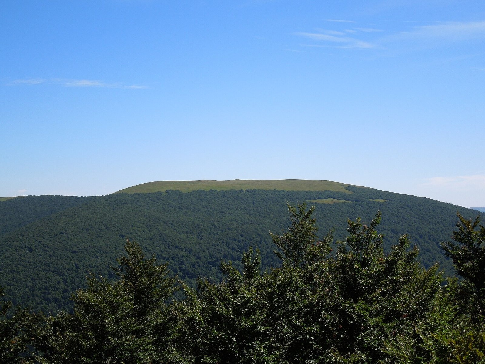
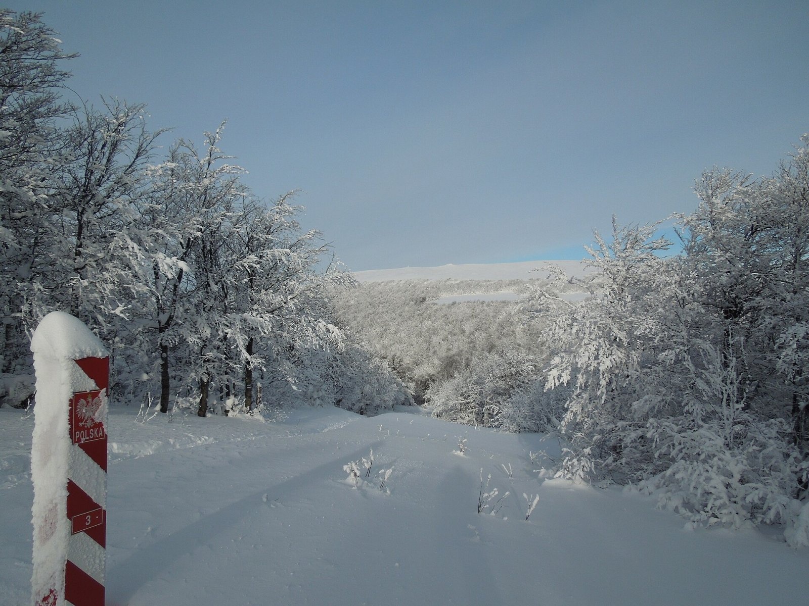
Wielka Rawka (1,307 m) is the highest summit of the border range of the Western Bieszczady. It lies in Poland, inside Bieszczady National Park, some 5.4 km south-west of Ustrzyki Górne and 4.6 km south of Brzegi Górne. The state border with Ukraine runs along its southern slope (until 1945 this was the border with Hungary), and a short way to the south-west rises Krzemieniec (Kremenec), where the borders of Poland, Slovakia and Ukraine meet. Wielka Rawka is the most prominent mountain of the Western Bieszczady: its topographic prominence reaches 523 m, because there are no higher peaks nearby and the key col, the Beskid pass (784 m), is relatively low.
The summit area is a level ridge about 700 m long, running from north-west to south-east. The highest point is a sandstone outcrop in the middle of the ridge; a few dozen metres away stands a concrete pillar, a former survey mark, and maps also show a north-western top (1,303 m). The slopes are steep and avalanches occasionally come down the north-eastern side. The western slopes fall to the Górna Solinka valley, the north-eastern ones to the Rzeczyca, while the southern slopes already drain to the Black Sea via the Bystry stream in the Uzh basin. The mountain rises 450–800 m above the surrounding valley floors.
Getting there / trails
- From the Wyżniańska Pass (855 m, road 897 between Ustrzyki Górne and Wetlina, with a car park, bus stop and park pay point) – green trail past the Bacówka PTTK Pod Małą Rawką hut (930 m) to Mała Rawka, then yellow to Wielka Rawka: about 2 h up, 1 h 10 min down. This is the shortest route from the Polish side.
- From Ustrzyki Górne – blue trail (the Rzeszów–Grybów route) to the trail junction at the south-eastern end of the summit ridge, then along the ridge to the highest point. Guides give between 2 h 30 min and 3 h 30 min up.
- From Wetlina – green trail over the Dział ridge and Mała Rawka, then yellow: about 3 h 40 min up, 2 h 30 min down.
- From Slovakia – from Nová Sedlica on the red East Carpathian Highway (Východokarpatská magistrála) to Kremenec, then the Polish blue and yellow trails: about 4 h 10 min up, 3 h 35 min down, 897 m of ascent.
From Mała Rawka it is only 20 minutes on the yellow trail across a high saddle (1,254 m); from Krzemieniec about 55 minutes on the blue. The park nature trails «Wielka Rawka» and «Rawki» follow these paths, and the cross-border nature trail «Brown Bear» leads from the summit down to Nová Sedlica.
The view from the summit
The treeless top is one of the finest viewpoints in the Bieszczady. You can see every massif of the połonina range – Połonina Caryńska, Połonina Wetlińska with Smerek and the Tarnica group – as well as the border range, the Eastern Bieszczady and Polonyna Rivna. To the south-west lie the Slovak Bukovské vrchy and Vihorlat. In clear air the view to the east reaches Pikui, Hostra Hora, Polonyna Runa, Borzhava and even the Gorgany peaks Popadia, Grofa and Parenky, while to the west the Tatras (over 170 km) and Kráľova hoľa in the Low Tatras can be made out. The record long-distance sighting of Ukrainian territory from Poland was made here: Mount Tempa in the Svydovets range, 141.6 km away.
Nature and history
The summit is covered by a mountain meadow (połonina) whose lower edge lies unusually high here – from 1,200 to over 1,260 m. Because the slopes are so steep, cattle were never grazed on Rawka, so the forest climbed higher than on the neighbouring meadows; the saddle between Wielka and Mała Rawka carries the highest-lying forest in the Polish Bieszczady. Rare plants for Poland recorded here include the rock bird cherry and Carpathian tozzia. Bieszczady National Park, together with protected areas in Slovakia and Ukraine, forms the East Carpathians International Biosphere Reserve.
Safety, season and rules
In winter the north-eastern slopes can be prone to avalanches, and the open ridge offers no shelter from wind, storms or fog, so in bad weather it is wiser to cut the walk short. The border with Ukraine is an external EU border: crossing it outside official checkpoints is prohibited, and the Polish Border Guard may check documents in the border zone. Walking on marked trails into Slovakia is allowed, as both countries are in the Schengen Area – but carry an identity document.
The summit lies within Bieszczady National Park. Under the park rules in force since 14 April 2026, entry to the trails is charged all year: a ticket costs 11 zł (reduced 5.5 zł, children under 7 free), is sold at the pay points by the trailheads or online, and is valid on all park trails on the same day. Walking is allowed on marked trails only and only between sunrise and sunset – night hiking is prohibited. Dogs are not allowed on the trails (except a few short sections, on a lead and muzzled); flying drones and leaving litter are also banned.
The Bieszczady are covered by the Bieszczady Group of the mountain rescue service GOPR (station in Ustrzyki Górne): call 985 or +48 601 100 300, or the general number 112; installing the «Ratunek» app is recommended. In winter the park advises reporting longer planned routes to the GOPR station in Ustrzyki Górne.
Interesting facts
- Wielka Rawka is the highest summit of the border range of the Western Bieszczady.
- It takes less than an hour to walk from Wielka Rawka to Krzemieniec, where three countries meet.
- The mountain's highest point is not the survey pillar but a rock outcrop a few dozen metres away from it.
Photos: Andrzej Otrębski, CC BY-SA 4.0; Jiří Komárek, CC BY-SA 4.0; Zyxist, CC0; Milan Bališin, CC BY-SA 4.0; Milan Bališin, CC BY-SA 4.0; Olek Remesz, CC BY-SA 4.0; Milan Bališin, CC BY-SA 4.0 — Wikimedia Commons.
Getting there from Ukraine
Border crossings
- Krakovets – Korczowa — road, 24/7
- Shehyni – Medyka — road, 24/7 Pedestrian crossing is not confirmed by the Ukrainian border service — check dpsu.gov.ua before the trip.
- Smilnytsia – Krościenko — road, 24/7
- Hrushiv – Budomierz — road, 24/7
- Mostyska – Przemyśl (rail) — rail, 24/7
By car
Lviv – Sanok ≈168 km, ≈3 h 20 min without queues: road to Shehyni → Shehyni – Medyka checkpoint → Przemyśl → DK28 via Bircza to Sanok (≈83 km, ≈1 h 45 min from the border). Alternative via Krakovets – Korczowa: A4 to the Radymno exit, DK77 to Przemyśl and DK28 (≈185 km from Lviv, ≈3 h 25 min). For the Bieszczady proper, Smilnytsia – Krościenko is handier: Lviv – Sambir – Staryi Sambir – border, then DK84 via Ustrzyki Dolne to Sanok (≈203 km, ≈5 h; ≈57 km from the border). From Krościenko to Ustrzyki Górne by DW896 ≈53 km (≈1 h 40 min; ≈200 km and ≈4 h 50 min from Lviv), to Wetlina by DW896 and DW897 ≈69 km (≈216 km and ≈5 h from Lviv). From Sanok: Ustrzyki Górne ≈82 km (DK84 via Lesko, then DW896, ≈1 h 35 min), Wetlina ≈72 km (DK84 to Lesko, DW894 via Baligród and Cisna, DW897, ≈1 h 20 min).
Checked 23.10.2026; border crossing hours and timetables change — check before you travel.
Location on the map
Water and shelter nearby
- Spring below Mount Kremenets990 m · Not verified · 1 134 m
Comments
Trails nearby
All trails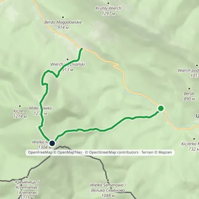 ModerateOne-dayMarkedWielka Rawka Tourist TrailElevation profile685–1 303 m8.8 kmascent 1 136 m≈ 4.5 h walkingunder 1 km from Wielka Rawka
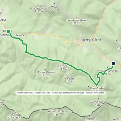 ModerateOne-dayMarkedWetlina Wyżniańska PassElevation profile651–1 272 m12.3 kmascent 682 m≈ 4.5 h walking1.1 km from Wielka Rawka
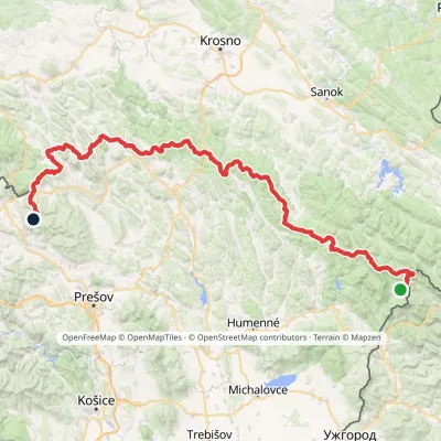 HardMulti-dayMarkedVýchodokarpatská magistrálaElevation profile390–1 209 m213.5 kmascent 7 991 m1.5 km from Wielka Rawka
Nearby attractions
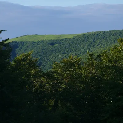 PeakMała Rawkaaltitude 1 272 m1.1 km from Wielka RawkaMała Rawka (1,272 m) is a mountain in the Western Bieszczady and the highest point of the Dział ridge.
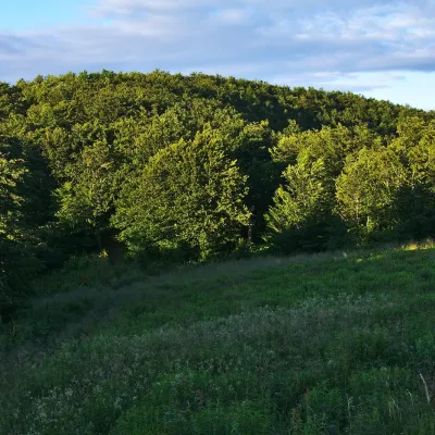 PeakKamienna (Kamenná lúka)altitude 1 201 m · Gorgany range2.3 km from Wielka RawkaKamienna, in Slovak Kamenná lúka, is a 1,201 m summit on the main ridge of the border range of the Western Bieszczady, on the Polish–Slovak border.
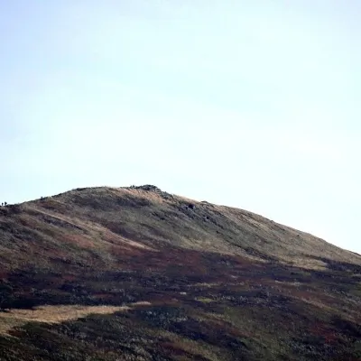 PeakKruhly Wierchaltitude 1 297 m4.7 km from Wielka RawkaKruhly Wierch (also Kruhły Wierch, 1,297 m) is the highest summit of Połonina Caryńska in the Western Bieszczady.
