Východokarpatská magistrála
Trail map
Route, springs and shelters: © OpenStreetMap contributors (ODbL) · elevation: Copernicus DEM © DLR e.V., © Airbus DS · Data & licences
About the trail
Route Východokarpatská magistrála. Has red marking (national route №0918, KST). Waymarking data: OpenStreetMap (© OpenStreetMap contributors, ODbL).
Officially marked national tourist route No. 0918. Marking is red, sign — horizontal stripe on a white background. Marked and maintained by: KST. Length of the route — 213.5 km. Location: mountain range — Low Beskids, Poland.
At a glance
A multi-day route of 213.5 km with 7,991 m of ascent. Estimated time: 10 days of 4–10 h of walking (about 66.5 h in total, not counting stops). Difficulty: hard. Waymarking: red.
Route stages
- 0–9 kmClimb of 800 m (up to 1,190 m)
- 9–175 kmGentle ups and downs at 500–1,200 m, past Kamienna, Hrubki, Rabia Skała, Ďurkovec
- 175–177 kmDescent of 340 m to Beskid Pass
- 177–203 kmGentle ups and downs at 640–880 m, past Pusta, Wysokie Bereście Południowe, Kamenný hrb, Suchá jedľa
- 203–213 kmClimb of 470 m to Minčol (1,153 m)
Steepest kilometre: km 176–177, a descent of 280 m (≈28%), near Lackowa.
Water and overnight stays
Springs near the trail: at km 1, 4, 5, 8, 9, 15, 19, 21, 23 and 32 etc.. There are no springs between km 96 and 131 — carry at least 5.5 l of water. Some springs run low or dry up in late summer.
Huts and shelters near the trail: Hut pod Čierťažou (km 15), Hut in Ruské Sedlo (km 32), Balnica Shelter (km 46), Vlčia Hut (km 66), Núdzový stan 2012 Hut (km 71), Hut below Pasika (km 80), Stara chata Hut (km 122), Baranie Hut (km 123) etc..
A possible split into days:
- Day 1: km 0–15, ≈5.5 h — overnight: Hut pod Čierťažou (hut)
- Day 2: km 15–46, ≈9.5 h — overnight: Balnica Shelter (hut)
- Day 3: km 46–66, ≈6 h — overnight: Vlčia Hut (hut)
- Day 4: km 66–80, ≈4.5 h — overnight: Hut below Pasika (hut)
- Day 5: km 80–108, ≈8 h — overnight: no shelter nearby on the map, bring a tent
- Day 6: km 108–123, ≈4.5 h — overnight: Baranie Hut (hut)
- Day 7: km 123–152, ≈8.5 h — overnight: no shelter nearby on the map, bring a tent
- Day 8: km 152–172, ≈6.5 h — overnight: no shelter nearby on the map, bring a tent
- Day 9: km 172–198, ≈8 h — overnight: Hut below Barwinek (hut)
- Day 10: km 198–213, ≈5 h — finish
When to go
Best time: May to October. In winter deep snow is possible, so experience and winter gear are needed.
Getting there
This is a one-way route: the finish is 113 km from the start in a straight line, so plan your way back in advance.
FAQ
- How long does the route take?
- Estimated time: 10 days of 4–10 h of walking (about 66.5 h in total, not counting stops).
- Is there water on the route?
- Springs near the trail: at km 1, 4, 5, 8, 9, 15, 19, 21, 23 and 32 etc.. There are no springs between km 96 and 131 — carry at least 5.5 l of water. Some springs run low or dry up in late summer.
- Where can I stay overnight?
- Huts and shelters near the trail: Hut pod Čierťažou (km 15), Hut in Ruské Sedlo (km 32), Balnica Shelter (km 46), Vlčia Hut (km 66), Núdzový stan 2012 Hut (km 71), Hut below Pasika (km 80), Stara chata Hut (km 122), Baranie Hut (km 123) etc.. Possible overnight stops: Hut pod Čierťažou (km 15), Balnica Shelter (km 46), Vlčia Hut (km 66), Hut below Pasika (km 80), Baranie Hut (km 123), Hut below Barwinek (km 198).
Water and shelter on the route
- Spring below Brezov (east slope)km 0.9 from the start · 170 m off the path · Not verified · 418 m
- Spring below Packova Kýčera (west slope)km 4.3 from the start · Not verified · 829 m
- Spring below Packova Kýčera (north-west slope)km 5.4 from the start · Not verified · 699 m
- Kamenistý potok Springkm 7.6 from the start · Not verified · 972 m
- Spring below Kremenec (south-west slope), 1 129 mkm 8.8 from the start · Not verified · 1 129 m
- Hut pod Čierťažoukm 14.5 from the start · Not verified · 914 m
- Spring below Čierťaž (south-west slope)km 14.5 from the start · 80 m off the path · Not verified · 908 m
- Spring below Riaba Skałakm 19.2 from the start · 280 m off the path · Not verified · 1 041 m
- Spring below Ďurkoveckm 21.3 from the start · 60 m off the path · Not verified · 1 113 m
- Spring below Płasza (south-east slope)km 23.2 from the start · Not verified · 1 115 m
- Spring below Płasza (north-west slope)km 24.1 from the start · Not verified · 1 111 m
- Cirochy Springkm 31.4 from the start · 200 m off the path · Not verified · 813 m
- Hut in Ruské Sedlokm 31.5 from the start · 170 m off the path · Not verified · 806 m
- Well below Wierszkikm 45.6 from the start · 140 m off the path · Not verified · 712 m
- Balnica Shelterkm 45.6 from the start · 120 m off the path · Standing · 710 m
- Spring below Wierszkikm 46.2 from the start · Not verified · 703 m
- Spring below Wierch nad Łazemkm 53.6 from the start · 70 m off the path · Not verified · 842 m
- Spring below Wysoki Grońkm 55.3 from the start · 70 m off the path · Not verified · 846 m
- Spring below Szcołbkm 62.5 from the start · 80 m off the path · Not verified · 748 m
- Spring below Semakowski Wierchkm 65.8 from the start · 270 m off the path · Not verified · 606 m
- Vlčia Hutkm 65.9 from the start · Not verified · 642 m
- Spring below Baraniekm 69.8 from the start · 70 m off the path · Not verified · 683 m
- Núdzový stan 2012 Hutkm 70.4 from the start · Not verified · 676 m
- Hut below Pasikakm 79.9 from the start · Not verified · 808 m
- Wisłoka Springkm 80.4 from the start · 100 m off the path · Not verified · 832 m
- Spring below Góra Wertyszówkm 85.8 from the start · Not verified · 681 m
- Laborca Springkm 95.8 from the start · 110 m off the path · Not verified · 714 m
- Stara chata Hutkm 121.2 from the start · 230 m off the path · Not verified · 644 m
- Baranie Hutkm 122 from the start · Not verified · 748 m
- Spring below Filipovský vrchkm 130.3 from the start · Not verified · 673 m
- Wisłoka Springkm 143.2 from the start · 130 m off the path · Not verified · 591 m
- Prameň Ondavy Springkm 149.4 from the start · Not verified · 557 m
- Regetówka Springkm 157.9 from the start · 70 m off the path · Not verified · 753 m
- Hut below Płazinykm 164.4 from the start · 130 m off the path · Not verified · 647 m
- Well of the Protection of the Mother of God on Holy Mount Jaworkm 167.6 from the start · 270 m off the path · Not verified · 658 m
- Spring below Lackovákm 175 from the start · Not verified · 763 m
- Hut below Barwinekkm 196.7 from the start · 130 m off the path · Not verified · 743 m
- Kráľova studňa, 740 mkm 196.7 from the start · 130 m off the path · Not verified · 740 m
- Spring below Minčol (east slope)km 211.5 from the start · Not verified · 1 087 m
Comments
Trails nearby
All trails
Craft nearby
All craft places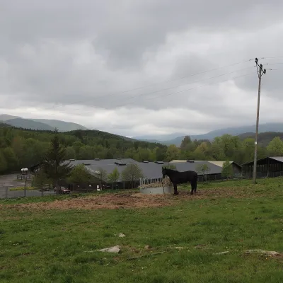 Horse ridingHucul Horse Stud in Wołosate, Bieszczady National Park12 km from the trailWołosate is the southernmost inhabited village in Poland, tucked away in the valley of the Wołosatka stream below Tarnica, the highest peak of the Polish Bieszczady.
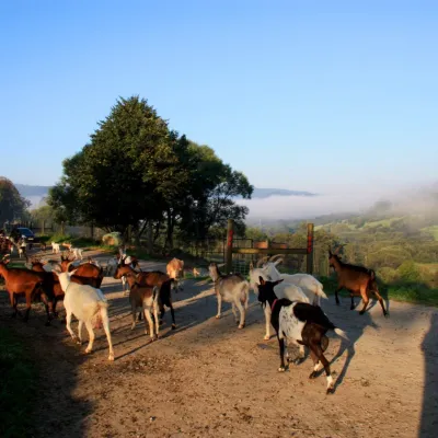 Cheese dairies & pasturesBieszczadzka Koza Goat Cheese Farm, Smolnik23 km from the trailBieszczadzka Koza ("the Bieszczady Goat") is a family goat farm and artisan cheese dairy in the village of Smolnik on the San, in the eastern Polish Bieszczady, right...
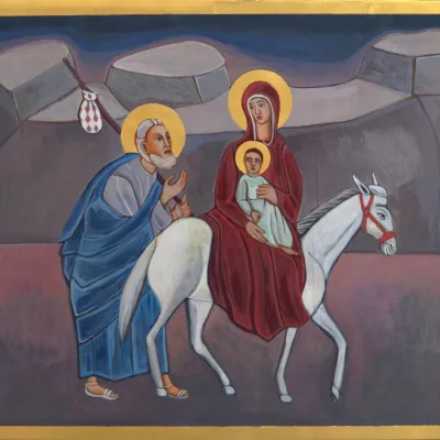 Crafts & workshopsVeraikon Icon Studio, Cisna: Carpathian icons and workshops23 km from the trailThe Veraikon Icon Studio (Pracownia Ikon Veraikon) in Cisna is, in its owners' words, the oldest and largest icon studio in the Bieszczady.
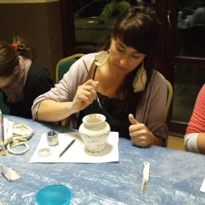 Crafts & workshopsGaleria Barak, Czarna: Bieszczady ceramics and workshops33 km from the trailGaleria Barak in the village of Czarna near Ustrzyki Dolne is the first private art gallery in the Bieszczady, and its story deserves telling.
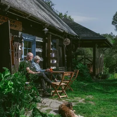 Craft producersBieszczadzkie Smaki, Smolnik: bread, liqueurs, preserves37 km from the trailBieszczadzkie Smaki (“Bieszczady Flavours”) is a family producer of natural foods in the village of Smolnik on the Osława river, Komańcza municipality, on the western...
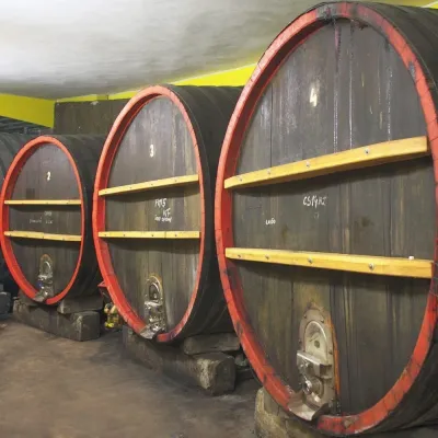 Wine & tastingsPivnica Orechová below Vihorlat: tastings in a deep wine cellar43 km from the trailVihorlat is a volcanic range in eastern Slovakia, best known for the Morské oko lake and its beech primeval forests.
