Czerenin (Černiny)
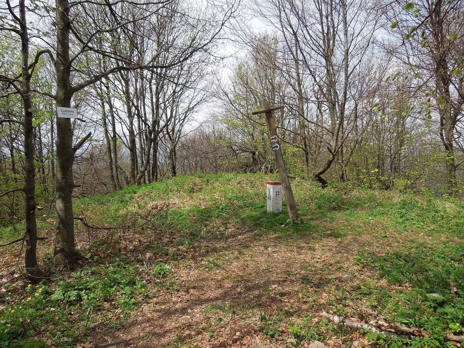
Czerenin (also Czeremin; Slovak: Černiny) is a 929 m mountain in the border (watershed) range of the Western Bieszczady, on the Polish–Slovak border. The nearest settlements are the Polish forest hamlet of Solinka (about 2.2 km) and the Slovak village of Osadné (about 5.5 km); the Slovak town of Snina is some 18 km to the south. The Slovak slopes belong to Poloniny National Park.
Several streams flow from the north-eastern slopes into the Solinka (Vistula basin); the southern slopes are drained by the Stružnica, a tributary of the Cirocha, and the western ones by the Udava, a tributary of the Laborec. On the ridge, Czerenin lies between Strop (1,011 m) to the east and Rydošová (877 m) to the west.
Getting there / trails
- The Polish blue trail (the Rzeszów–Grybów route) crosses the summit on its Balnica – Czerenin – Stryb section.
- The Slovak red East Carpathian Highway (Východokarpatská magistrála) follows the main ridge along the border: east via the Ruské sedlo pass to Kremenec, where the borders of Poland, Slovakia and Ukraine meet, and west towards the Laborec and Dukla passes.
- From Slovakia the easiest ascent is from Osadné by the yellow and then the red trail. From the Diakov junction (440 m) in Osadné the International Forestry Educational Trail «Udava – Solinka» runs with the yellow trail to the Balnica junction (712 m) on the border and continues into Poland.
Poland and Slovakia are both in the Schengen Area, so crossing the border on marked trails is allowed; carry an identity document.
The view from the summit
The summit itself is forested and has no view. From places along the ridge and slopes, however, you can see the peaks of the Bukovské vrchy, the Laborec Highlands, the Slanské and Vihorlat mountains, the Polish Bieszczady and the Ukrainian Carpathians.
Nature and history
In November 1914 the Russian general Lavr Kornilov crossed the pass below Czerenin: instead of holding his assigned section of the front, he launched an unauthorised attack on Austro-Hungarian positions to the south in an attempt to take Humenné, and the offensive ended in military disaster for the Russians.
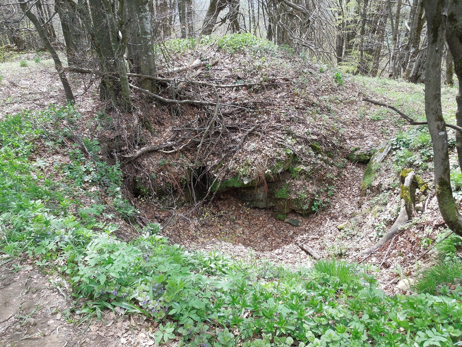
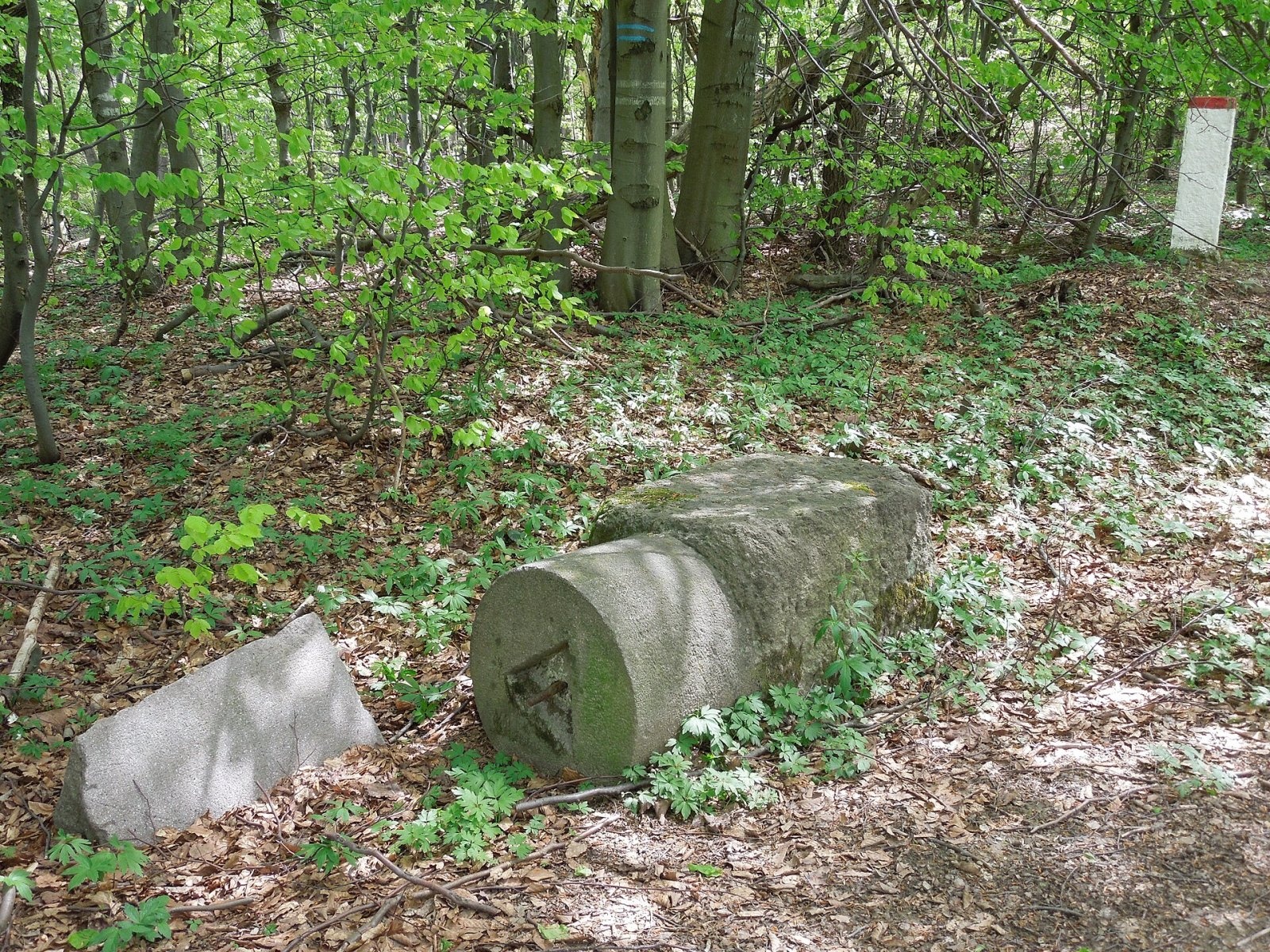
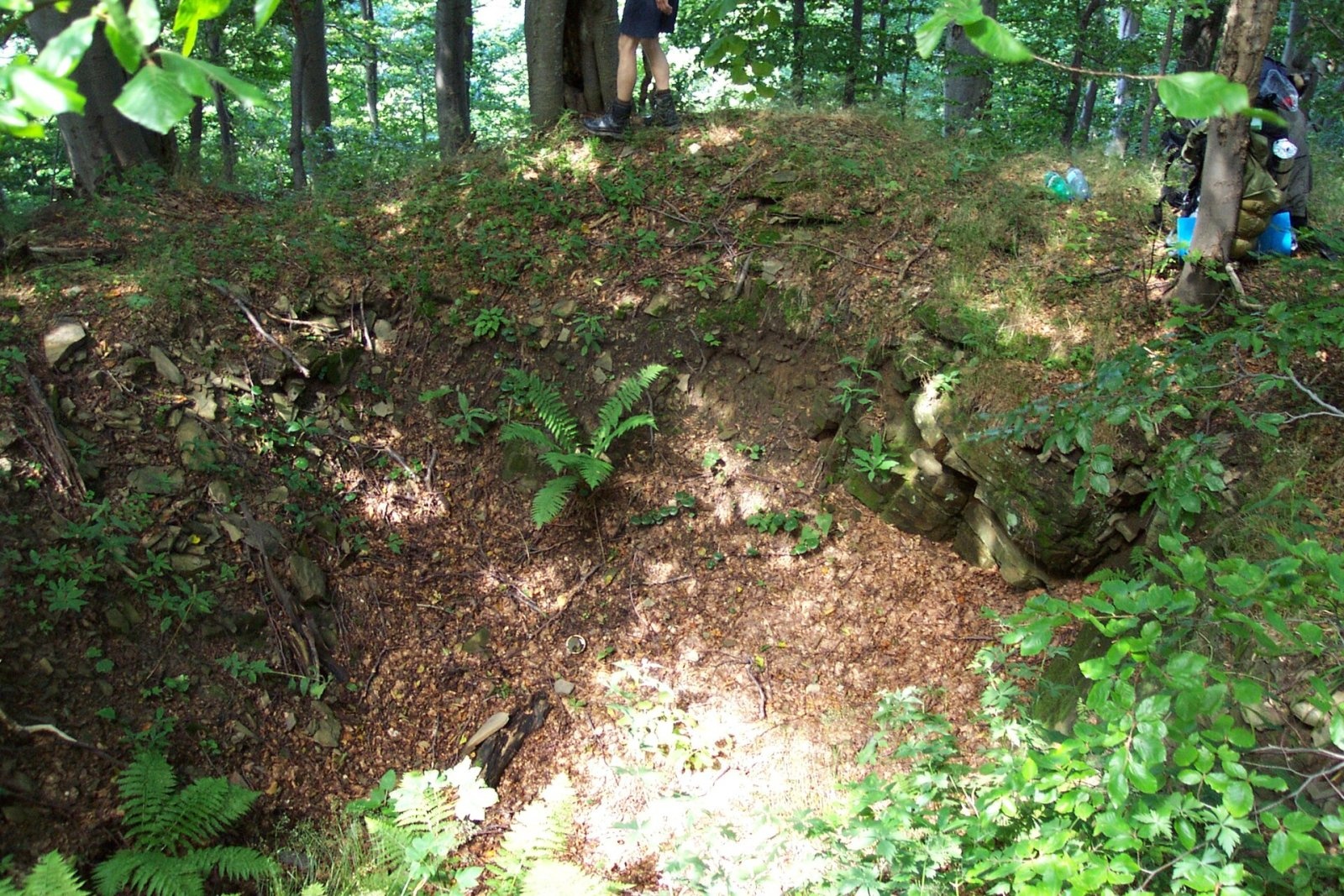
From 1939 to 1945 the borders of Slovakia, Hungary and Poland (later the General Government) met on Czerenin. Remains of the triangular border post from that time lie in the bushes below the summit by a forest track, and an old border post stands on the red trail from Balnica next to border stone 1/46. During the Second World War heavy fighting took place near the vanished Slovak village of Zvala – the front stood here for ten weeks. Four Soviet soldiers were made Heroes of the Soviet Union for the fighting for this village – more than for any other village or town in former Czechoslovakia – and traces of trenches can still be seen on and around the summit.
The summit area on the Slovak side is part of the «Stužica – Bukovské vrchy» component inscribed on the UNESCO World Natural Heritage list in 2007 as part of the ancient beech forests of the Carpathians, and of the Natura 2000 site «Bukovské vrchy». The Udava reserve lies nearby. This is the darkest area in Slovakia in terms of light pollution, and the country's first dark-sky park, «Poloniny», was created here.
Safety, season and rules
The ridge path is long and wooded, with no shelter or springs near the summit. On the Slovak side, in Poloniny National Park, walk only on marked trails; bears live in the forests on both sides of the border, so avoid walking alone at dusk and never leave food behind. Trenches can be deep and hidden under leaves.
On the Polish side rescue is provided by the Bieszczady Group of GOPR: 985 or +48 601 100 300, or 112. On the Slovak side call the Mountain Rescue Service HZS: 18 300 (+421 18 300) or 112.
Photos: Milan Bališin, CC BY-SA 4.0; Milan Bališin, CC BY-SA 4.0; Milan Bališin, CC BY-SA 4.0; Juandev, CC BY-SA 3.0 — Wikimedia Commons.
Getting there from Ukraine
Border crossings
- Krakovets – Korczowa — road, 24/7
- Shehyni – Medyka — road, 24/7 Pedestrian crossing is not confirmed by the Ukrainian border service — check dpsu.gov.ua before the trip.
- Smilnytsia – Krościenko — road, 24/7
- Hrushiv – Budomierz — road, 24/7
- Mostyska – Przemyśl (rail) — rail, 24/7
By car
Lviv – Sanok ≈168 km, ≈3 h 20 min without queues: road to Shehyni → Shehyni – Medyka checkpoint → Przemyśl → DK28 via Bircza to Sanok (≈83 km, ≈1 h 45 min from the border). Alternative via Krakovets – Korczowa: A4 to the Radymno exit, DK77 to Przemyśl and DK28 (≈185 km from Lviv, ≈3 h 25 min). For the Bieszczady proper, Smilnytsia – Krościenko is handier: Lviv – Sambir – Staryi Sambir – border, then DK84 via Ustrzyki Dolne to Sanok (≈203 km, ≈5 h; ≈57 km from the border). From Krościenko to Ustrzyki Górne by DW896 ≈53 km (≈1 h 40 min; ≈200 km and ≈4 h 50 min from Lviv), to Wetlina by DW896 and DW897 ≈69 km (≈216 km and ≈5 h from Lviv). From Sanok: Ustrzyki Górne ≈82 km (DK84 via Lesko, then DW896, ≈1 h 35 min), Wetlina ≈72 km (DK84 to Lesko, DW894 via Baligród and Cisna, DW897, ≈1 h 20 min).
Checked 23.10.2026; border crossing hours and timetables change — check before you travel.
Location on the map
Comments
Trails nearby
All trails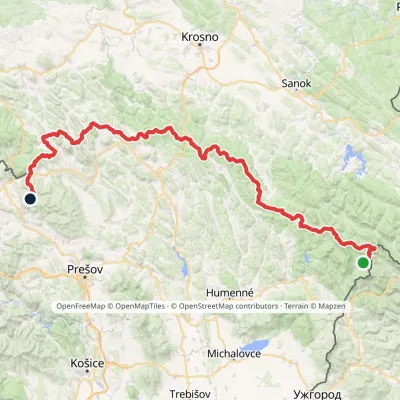 HardMulti-dayMarkedVýchodokarpatská magistrálaElevation profile390–1 209 m213.5 kmascent 7 991 munder 1 km from Czerenin (Černiny)
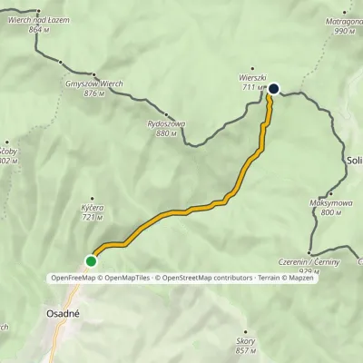 EasyOne-dayMarkedOsadné ManiówElevation profile403–725 m6.3 kmascent 333 m≈ 2 h walking2.1 km from Czerenin (Černiny)
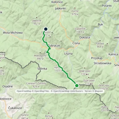 ModerateTwo-dayMarkedPass over Roztoki Wołosańvia Hyrlata, ŻubraczeElevation profile632–1 103 m15.7 kmascent 922 m≈ 6 h walking5 km from Czerenin (Černiny)
Nearby attractions
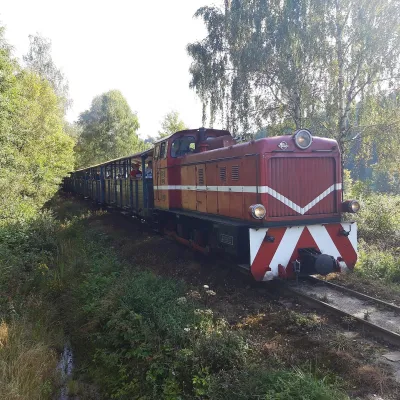 Historic siteBieszczady Forest Railway8 km from Czerenin (Černiny)The Bieszczady Forest Railway (Bieszczadzka Kolejka Leśna) is a 750 mm narrow-gauge line, the highest-lying narrow-gauge railway in Poland and one of the Bieszczady's...
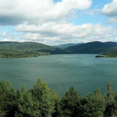 LakeStarina Reservoir in Poloniny National Park11 km from Czerenin (Černiny)Starina is the largest drinking-water reservoir in Slovakia and, according to Slovak sources, the largest source of drinking water in Central Europe.
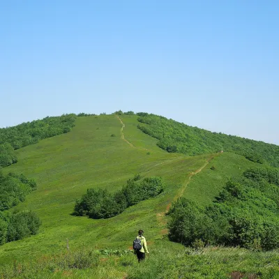 Mountain meadowĎurkovec and Pľaša meadowsaltitude 1 189 m · Gorgany range16 km from Czerenin (Černiny)The Ďurkovec meadows are the finest mountain grasslands of the Slovak Poloniny: grassy slopes covering the border ridge of the Bukovské vrchy between Pľaša (1,162.8 m)...
Craft nearby
All craft places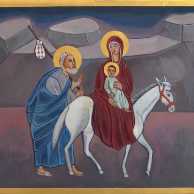 Crafts & workshopsVeraikon Icon Studio, Cisna: Carpathian icons and workshops11 km from Czerenin (Černiny)The Veraikon Icon Studio (Pracownia Ikon Veraikon) in Cisna is, in its owners' words, the oldest and largest icon studio in the Bieszczady.
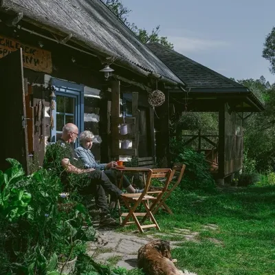 Craft producersBieszczadzkie Smaki, Smolnik: bread, liqueurs, preserves14 km from Czerenin (Černiny)Bieszczadzkie Smaki (“Bieszczady Flavours”) is a family producer of natural foods in the village of Smolnik on the Osława river, Komańcza municipality, on the western...
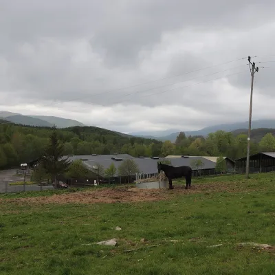 Horse ridingHucul Horse Stud in Wołosate, Bieszczady National Park34 km from Czerenin (Černiny)Wołosate is the southernmost inhabited village in Poland, tucked away in the valley of the Wołosatka stream below Tarnica, the highest peak of the Polish Bieszczady.
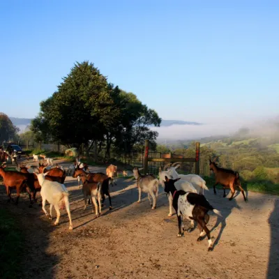 Cheese dairies & pasturesBieszczadzka Koza Goat Cheese Farm, Smolnik35 km from Czerenin (Černiny)Bieszczadzka Koza ("the Bieszczady Goat") is a family goat farm and artisan cheese dairy in the village of Smolnik on the San, in the eastern Polish Bieszczady, right...
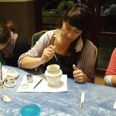 Crafts & workshopsGaleria Barak, Czarna: Bieszczady ceramics and workshopsChorna Tysa37 km from Czerenin (Černiny)Galeria Barak in the village of Czarna near Ustrzyki Dolne is the first private art gallery in the Bieszczady, and its story deserves telling.
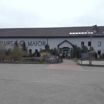 Craft beer & breweriesUrsa Maior Brewery, Uherce Mineralne38 km from Czerenin (Černiny)Ursa Maior, or the Bieszczady Brewery (Bieszczadzka Wytwórnia Piwa), is an independent craft microbrewery in the village of Uherce Mineralne, between Lesko and...
