Ďurkovec and Pľaša meadows
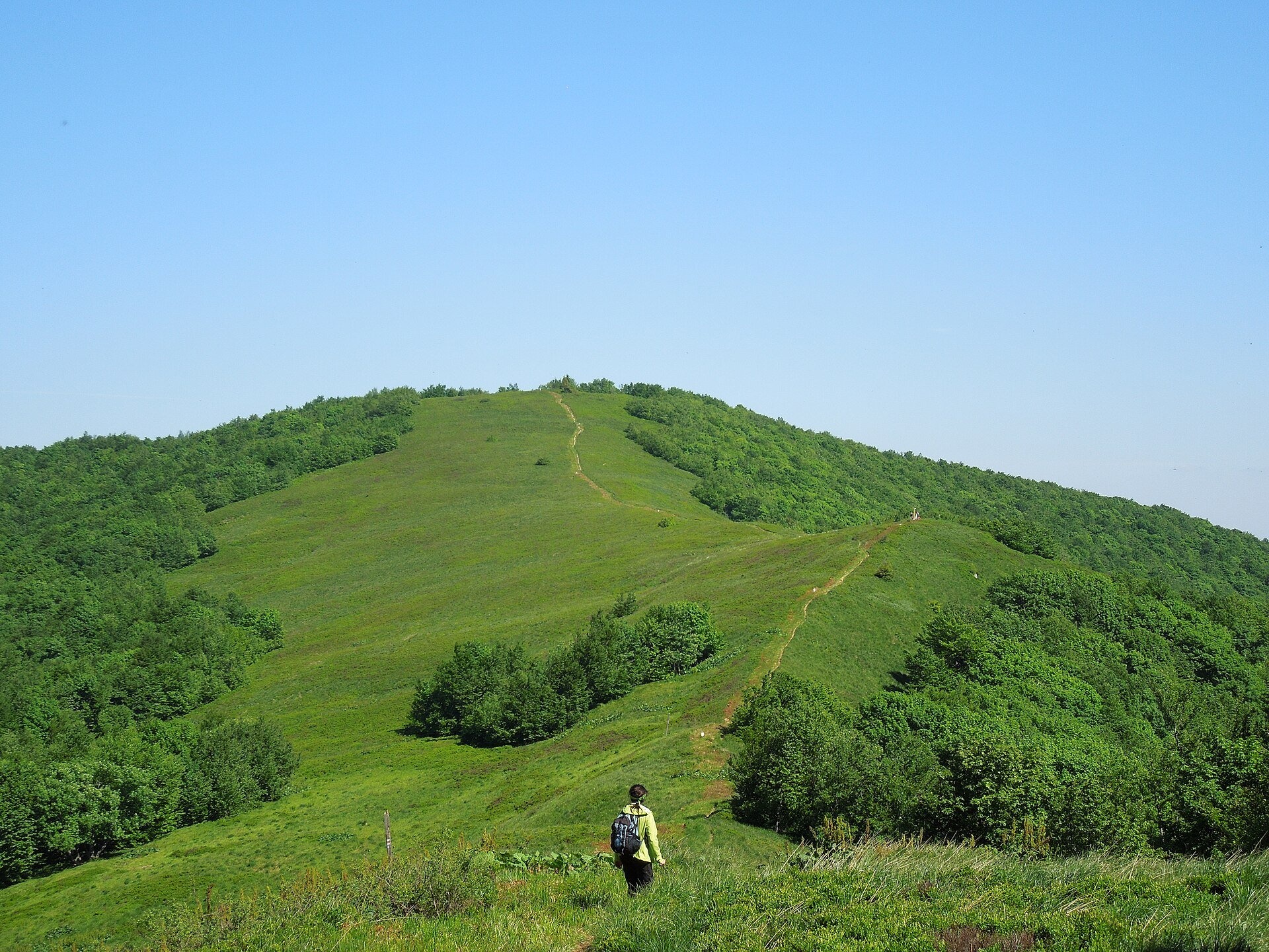
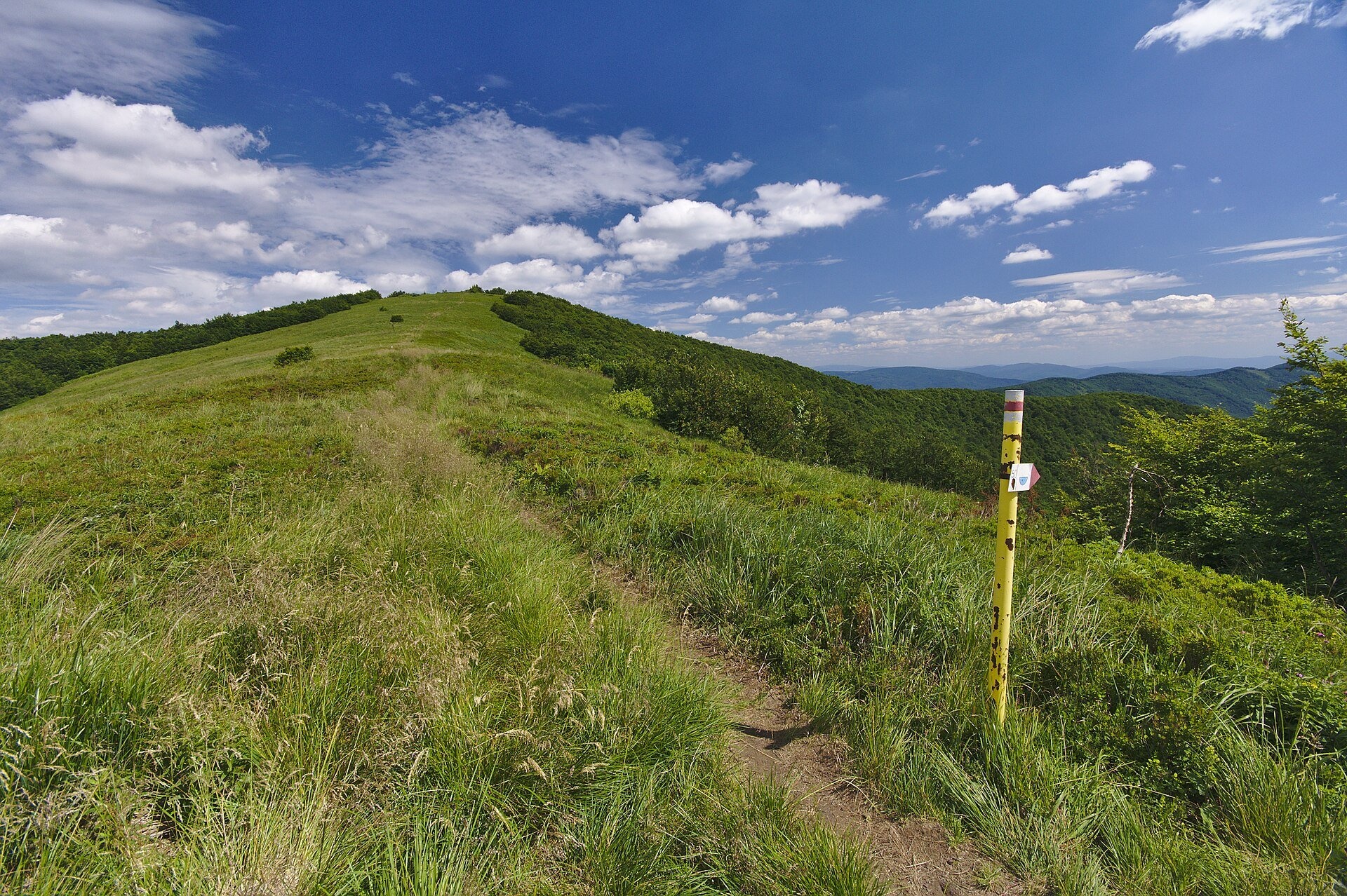
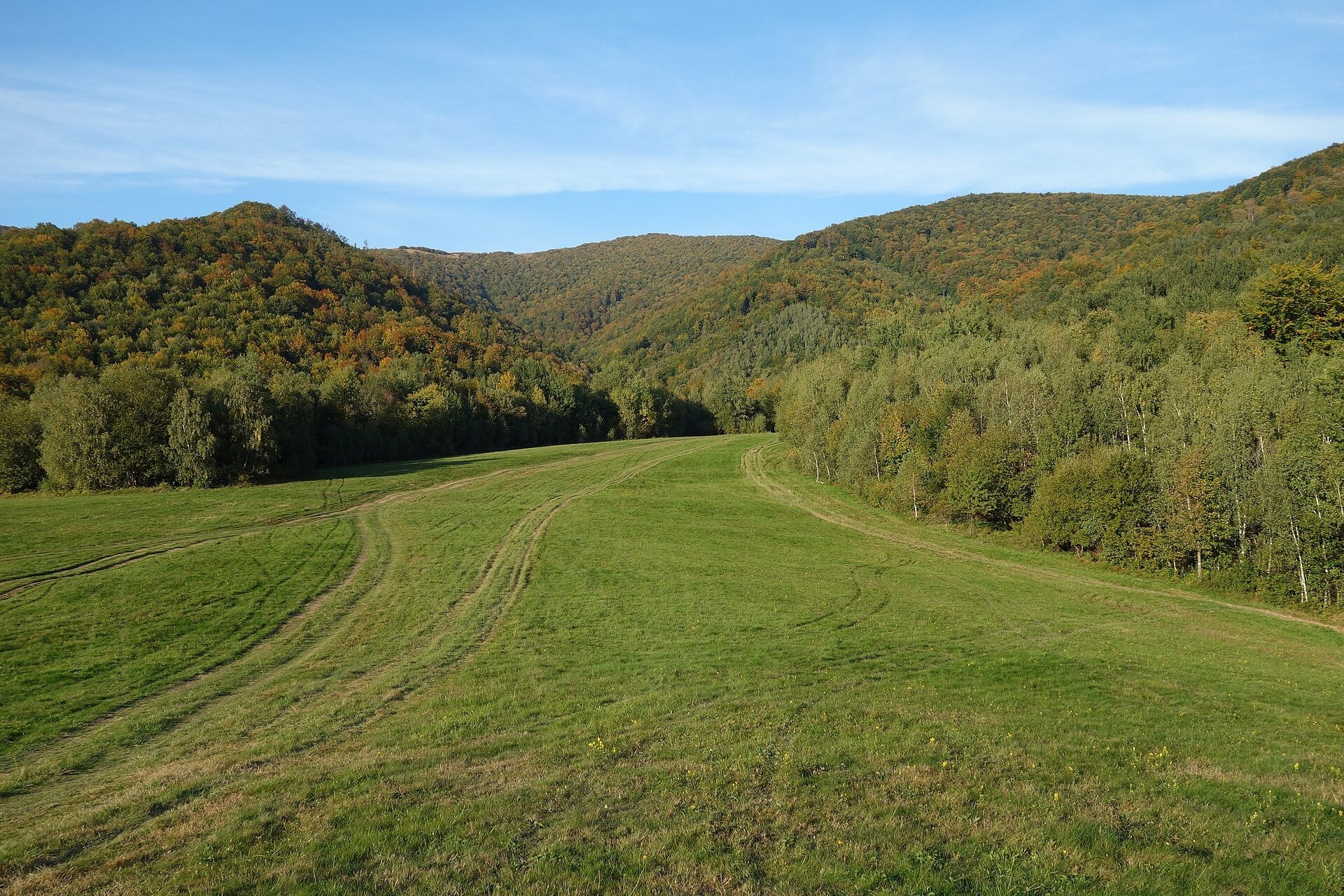
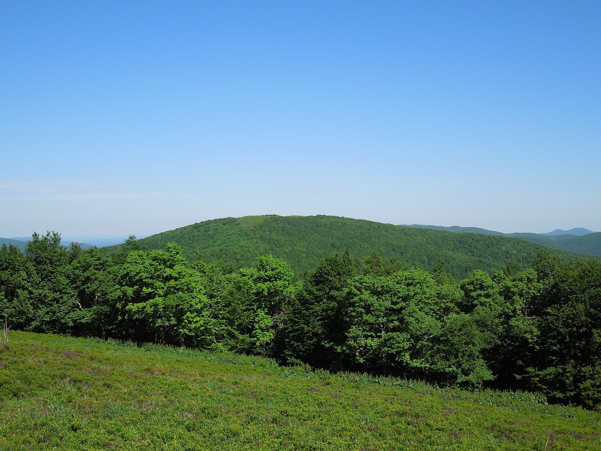
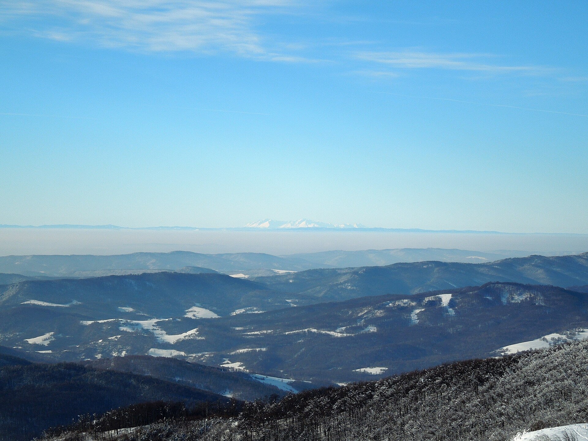
The Ďurkovec meadows are the finest mountain grasslands of the Slovak Poloniny: grassy slopes covering the border ridge of the Bukovské vrchy between Pľaša (1,162.8 m) and Ďurkovec (1,188.7 m). The ridge runs along the Slovak–Polish border above the village of Runina, about 22 km north-east of Snina, inside Poloniny National Park (Národný park Poloniny). The Slovak Wikipedia calls the meadows between Ďurkovec and Pľaša the most beautiful poloniny in Slovakia. To the east the ridge continues to Jarabá skala (1,199 m); on the Polish side lie the Cisna-Wetlina Landscape Park and the Dziurkowiec nature reserve, created in 2025.
The name Pľaša comes from the Wallachian (Romanian) word «pleš», meaning bald or bare – shepherds' term for treeless summits. Ďurkovec and Jarabá skala form the Jarabá skala National Nature Reserve (1964, almost 360 ha, the highest, fifth degree of protection), and the upper parts of the ridge belong to the UNESCO site «Ancient and Primeval Beech Forests of the Carpathians» (Stužica – Bukovské vrchy component, listed in 2007) with beeches over 200 years old and firs up to 50 m tall. East Carpathian species grow on the meadows, including the Dacian violet and the rose viper's-grass, and a small herd of European bison has lived in the park since 2004. Second World War trenches still cut across the slopes, and below the summit, about 50 m from the path from the saddle, is the spring of the Poloninský potok. The area is the darkest part of Slovakia in terms of light pollution and hosts the country's first dark-sky park.
What to see and do
- Panorama from Ďurkovec – the grassy, sparsely wooded summit shows the Bukovské vrchy, the Vihorlat and Slanské hills, the Polish Bieszczady and the Ukrainian Carpathians. In clear air the High Tatras and Kráľova hoľa, more than 160 km away, are visible, and Velyka Syvulia in the Gorgany is 138 km away.
- Ridge walk along the red Východokarpatská magistrála: Pľaša – Sedlo pod Ďurkovcom – Ďurkovec – Jarabá skala, with views to both sides of the border.
- Night sky – the Poloniny Dark-Sky Park attracts amateur astronomers.
- Best time – June with flowering meadows, and September–October, when the beech woods around the meadows turn russet.
Getting there
The starting point is Runina, the highest village of the Snina district, served by SAD Humenné suburban buses from Snina; by car take road 558 via Topoľa. From the village the green trail Runina – Sedlo pod Ďurkovcom (3.9 km, about 570 m of ascent) reaches the saddle (1,120 m) in 1 h 55 min up and 1 h down; from there follow the red ridge trail to the summit of Ďurkovec. The climb from Runina via the saddle to Pľaša takes about 3 h 10 min, the descent 2 h 30 min (603 m height difference). Another option is the yellow trail from Nová Sedlica via Jarabá skala. It is an ordinary half-day or full-day mountain hike: a forest path, steep in places, exposed and windy on the ridge; feasible for school-age children, not for prams. There are no huts or kiosks on the ridge – carry water and food.
Season and safety
Poloniny National Park is open all year and there is no entry ticket (as of October 2026). In the Jarabá skala reserve it is forbidden to leave the trail, light fires, pitch tents, litter, pick plants or disturb animals; camping is only allowed at sites designated by the park administration (Ruské sedlo, the saddle below Čierťaž, Zboj, Runina). The ridge carries the Schengen external border – stay on the marked path. In winter the trails are snowbound and visited on cross-country skis and snowshoes; short days call for an early start. In an emergency call the Mountain Rescue Service (HZS) on 18 300 or 112.
Nearby
East along the ridge are Kamienna (Kamenná lúka) and the tripoint on Kremenec; on the Polish side is Połonina Wetlińska, and south of Runina lies the Starina Reservoir in Poloniny National Park.
Photos: Milan Bališin, CC BY-SA 4.0, Wikimedia Commons; Jiří Komárek, CC BY-SA 4.0, Wikimedia Commons.
Getting there from Ukraine
Border crossings
- Uzhhorod – Vyšné Nemecké — road, 24/7
- Malyi Bereznyi – Ubľa — road, 24/7 For cars and buses; pedestrians not confirmed by the Ukrainian border service, lorries up to 3.5 t.
- Mali Selmentsi – Veľké Slemence (pedestrian) — pedestrian, 09:00–21:00 Kyiv time Pedestrians and cyclists only; inconvenient for the Tatras without onward transport.
- Chop – Čierna nad Tisou (rail) — rail, 24/7
By car
Lviv – Snina ≈241 km, ≈4 h 20 min without queues: H-13 via Sambir and the Uzhok Pass to Velykyi and Malyi Bereznyi → Malyi Bereznyi – Ubľa checkpoint → road 74 to Snina (≈27 km, ≈30 min from the border). From Uzhhorod: via Vyšné Nemecké (I/19 towards Sobrance, then II/566 and road 74) ≈65 km, ≈1 h 15 min; via Malyi Bereznyi – Ubľa ≈80 km, ≈1 h 40 min, but that crossing is usually less busy.
Checked 23.10.2026; border crossing hours and timetables change — check before you travel.
Location on the map
Water and shelter nearby
- Spring below Ďurkovec130 m · Not verified · 1 113 m
- Spring below Płasza (south-east slope)1.8 km · Not verified · 1 115 m
- Spring below Riaba Skała1.8 km · Not verified · 1 041 m
- Spring below Płasza (north-west slope)2.5 km · Not verified · 1 111 m
- Brehy Hut2.9 km · Not verified · 562 m
Comments
Trails nearby
All trails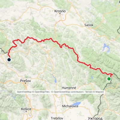 HardMulti-dayMarkedVýchodokarpatská magistrálaElevation profile390–1 209 m213.5 kmascent 7 991 munder 1 km from Ďurkovec and Pľaša meadows
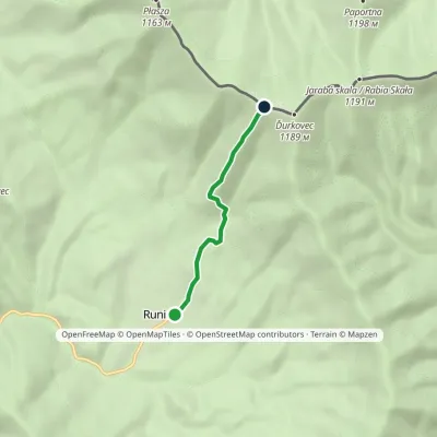 EasyOne-dayMarkedRunina Sedlo pod ĎurkovcomElevation profile551–1 132 m3.7 kmascent 581 m≈ 2 h walkingunder 1 km from Ďurkovec and Pľaša meadows
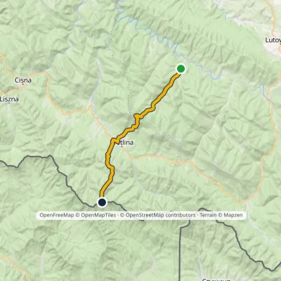 HardTwo-dayMarkedRiaba Skała ZatwarnicaElevation profile512–1 198 m20.1 kmascent 1 269 m≈ 7.5 h walking1.3 km from Ďurkovec and Pľaša meadows
Nearby attractions
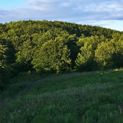 PeakKamienna (Kamenná lúka)altitude 1 201 m · Gorgany range9.1 km from Ďurkovec and Pľaša meadowsKamienna, in Slovak Kamenná lúka, is a 1,201 m summit on the main ridge of the border range of the Western Bieszczady, on the Polish–Slovak border.
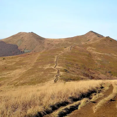 Mountain meadowPołonina Wetlińskaaltitude 1 228 m11 km from Ďurkovec and Pľaša meadowsPołonina Wetlińska is a mountain massif and alpine meadow in the Polish part of the Western Bieszczady and one of the most visited places in these mountains.
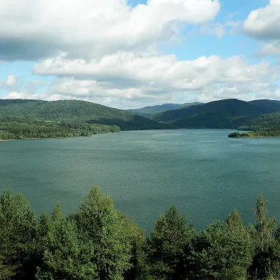 LakeStarina Reservoir in Poloniny National Park13 km from Ďurkovec and Pľaša meadowsStarina is the largest drinking-water reservoir in Slovakia and, according to Slovak sources, the largest source of drinking water in Central Europe.
Craft nearby
All craft places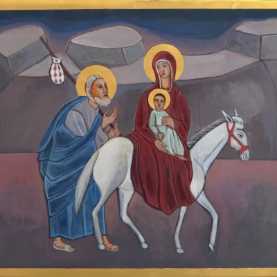 Crafts & workshopsVeraikon Icon Studio, Cisna: Carpathian icons and workshops14 km from Ďurkovec and Pľaša meadowsThe Veraikon Icon Studio (Pracownia Ikon Veraikon) in Cisna is, in its owners' words, the oldest and largest icon studio in the Bieszczady.
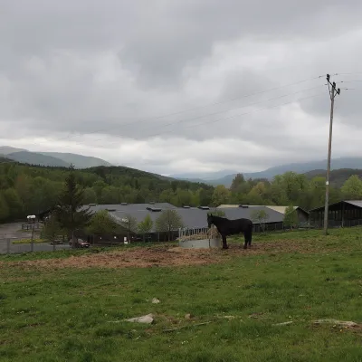 Horse ridingHucul Horse Stud in Wołosate, Bieszczady National Park19 km from Ďurkovec and Pľaša meadowsWołosate is the southernmost inhabited village in Poland, tucked away in the valley of the Wołosatka stream below Tarnica, the highest peak of the Polish Bieszczady.
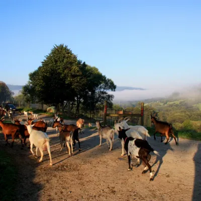 Cheese dairies & pasturesBieszczadzka Koza Goat Cheese Farm, Smolnik23 km from Ďurkovec and Pľaša meadowsBieszczadzka Koza ("the Bieszczady Goat") is a family goat farm and artisan cheese dairy in the village of Smolnik on the San, in the eastern Polish Bieszczady, right...
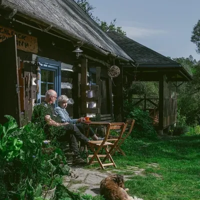 Craft producersBieszczadzkie Smaki, Smolnik: bread, liqueurs, preserves28 km from Ďurkovec and Pľaša meadowsBieszczadzkie Smaki (“Bieszczady Flavours”) is a family producer of natural foods in the village of Smolnik on the Osława river, Komańcza municipality, on the western...
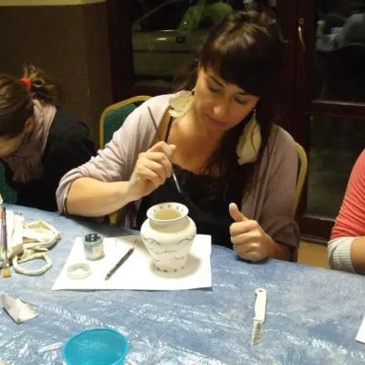 Crafts & workshopsGaleria Barak, Czarna: Bieszczady ceramics and workshops31 km from Ďurkovec and Pľaša meadowsGaleria Barak in the village of Czarna near Ustrzyki Dolne is the first private art gallery in the Bieszczady, and its story deserves telling.
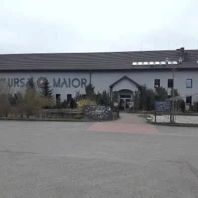 Craft beer & breweriesUrsa Maior Brewery, Uherce Mineralne41 km from Ďurkovec and Pľaša meadowsUrsa Maior, or the Bieszczady Brewery (Bieszczadzka Wytwórnia Piwa), is an independent craft microbrewery in the village of Uherce Mineralne, between Lesko and...
