Kamienna (Kamenná lúka)
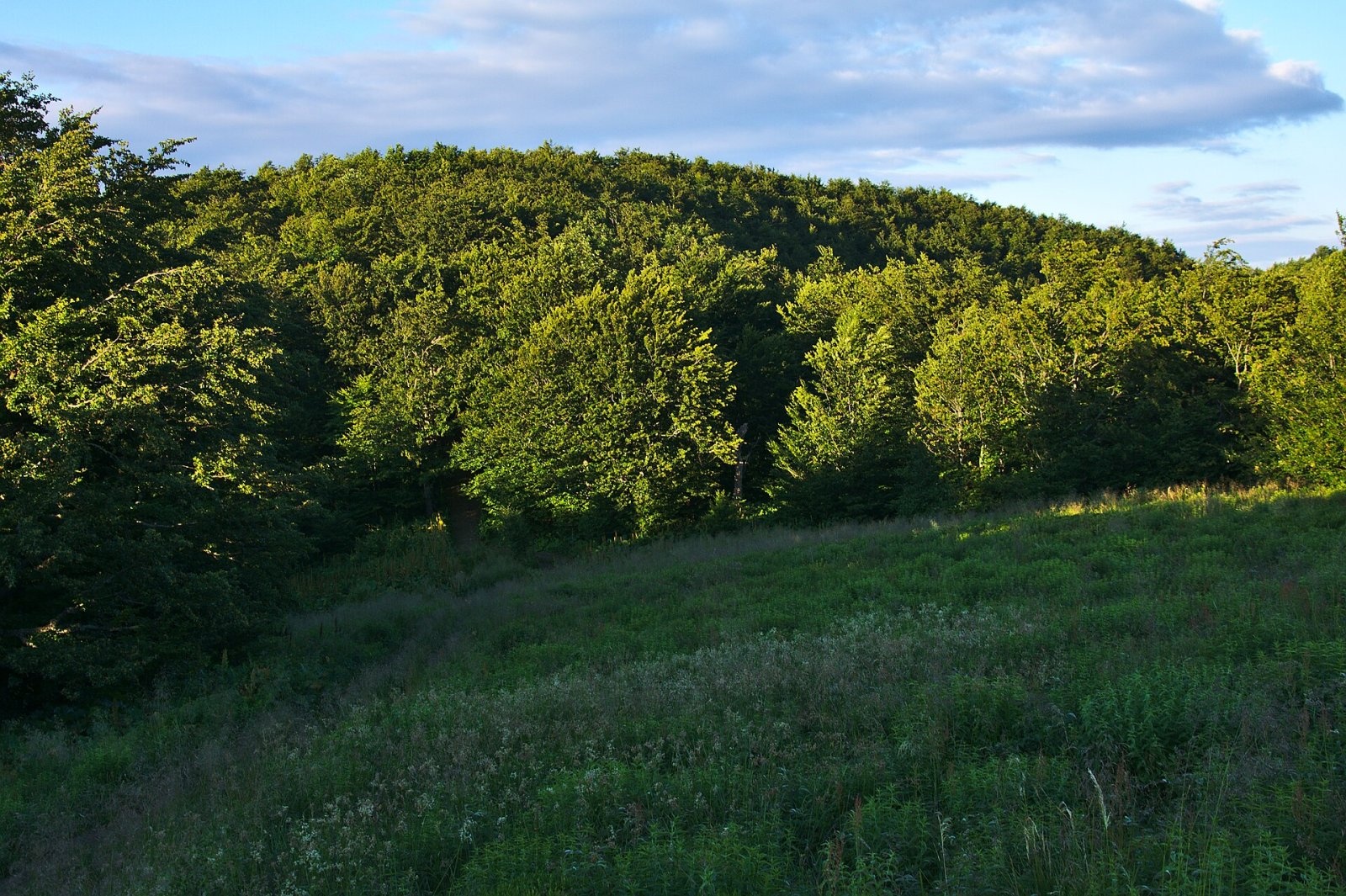
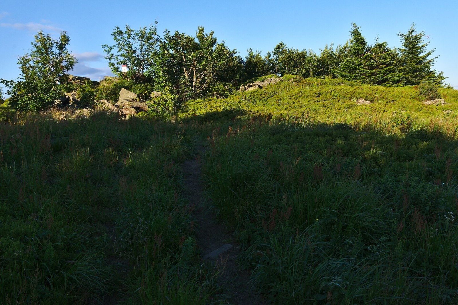
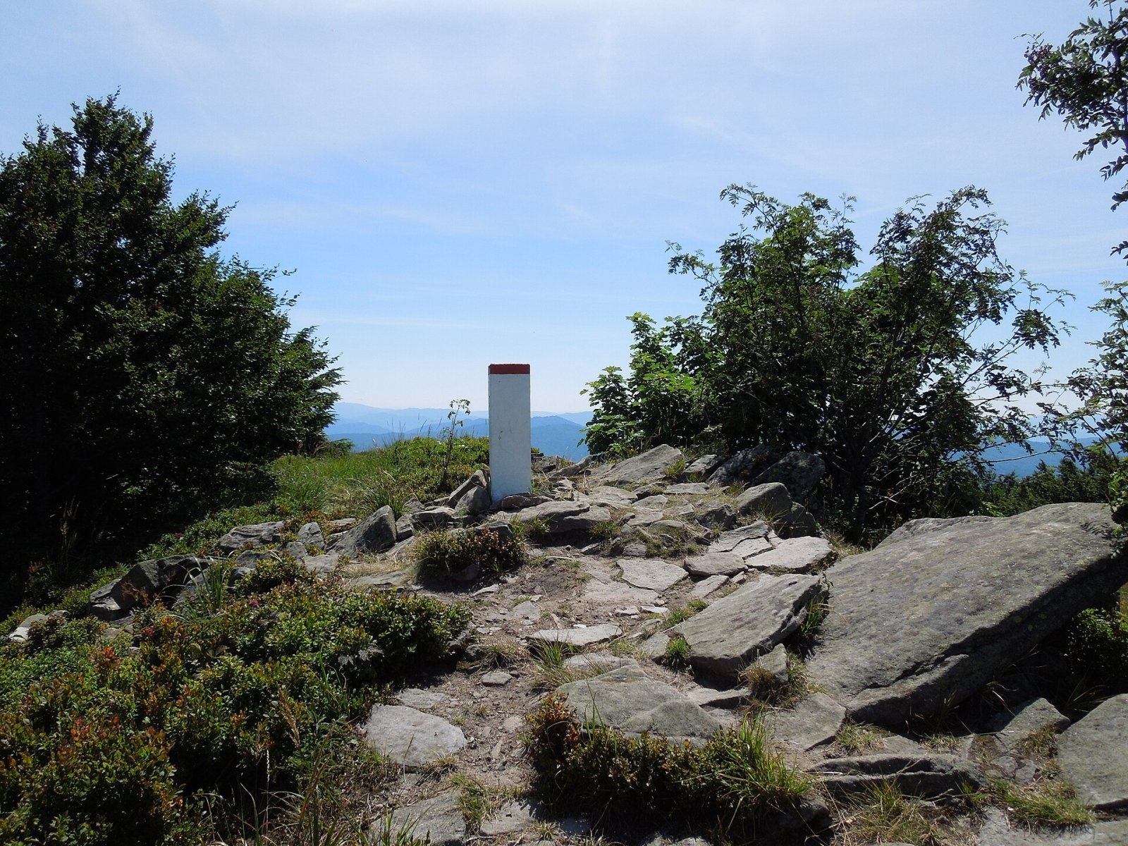
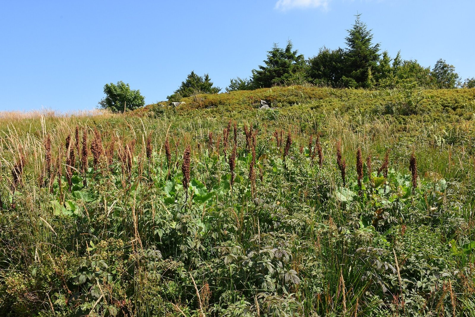
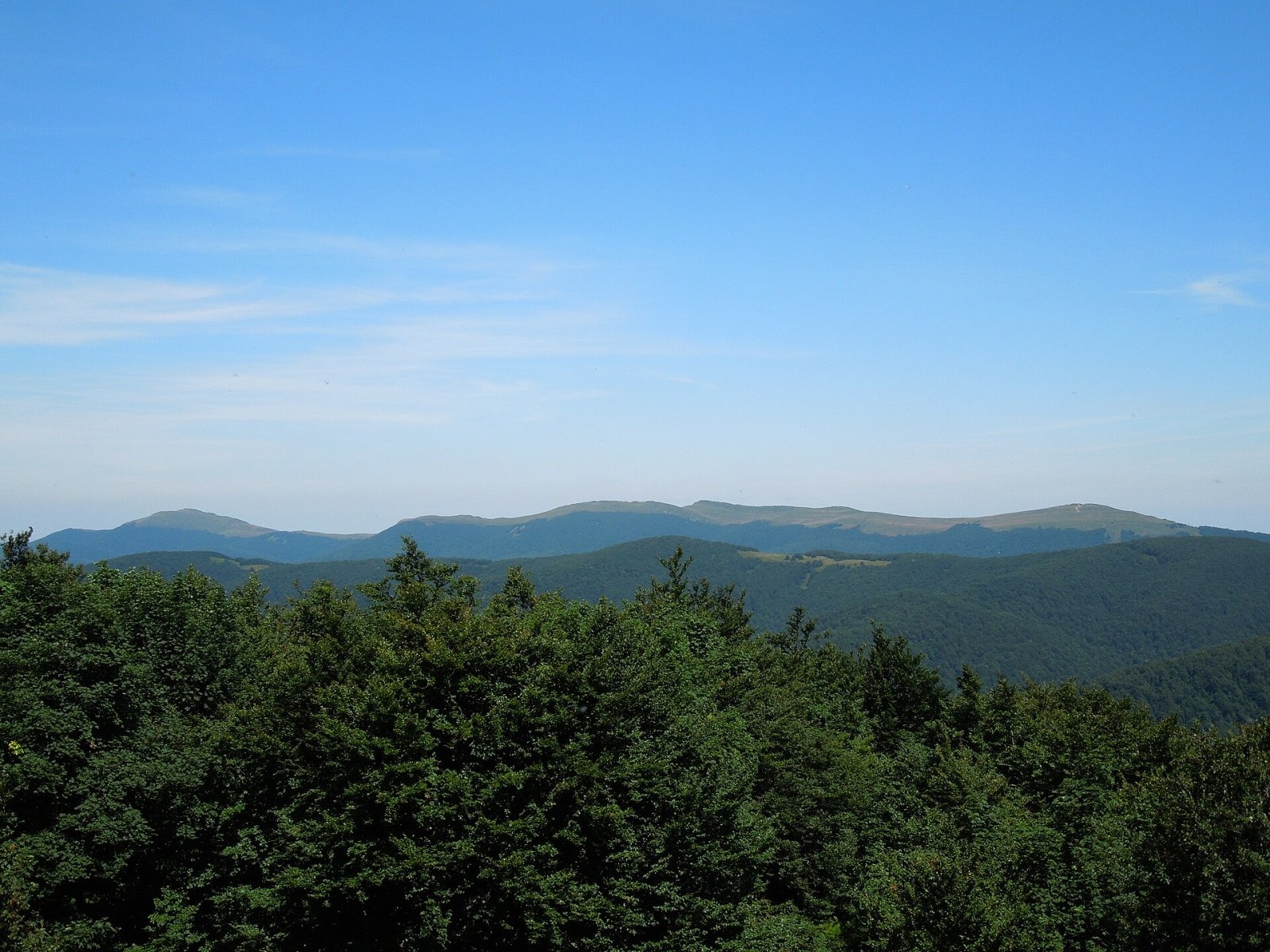
Kamienna, in Slovak Kamenná lúka, is a 1,201 m summit on the main ridge of the border range of the Western Bieszczady, on the Polish–Slovak border. In Slovakia this part of the Carpathians is called the Bukovské vrchy, and Kamenná lúka is their second-highest summit. It lies between Krzemieniec (Kremenec, 1,221 m) and Hrubki (1,186 m), above the Slovak village of Nová Sedlica (about 5.8 km), roughly 28 km east of Snina. The Polish side belongs to Bieszczady National Park, the Slovak side to Poloniny National Park.
The southern slopes, falling to the Stužická rieka valley, are protected in the Stužica reserve, while the northern slopes descend to the Górna Solinka valley. Water from the south flows via the Stužická rieka to the Uzh, from the north via the Górna Solinka and Wetlina to the Vistula basin. About 1.4 km to the east is Krzemieniec, where the borders of Poland, Slovakia and Ukraine meet.
Getting there / trails
Two marked trails cross the summit: the Polish blue trail along the border range (from Wielka Rawka via Krzemieniec, Kamienna, Hrubki and Czerteż to Riaba Skała) and the Slovak red East Carpathian trail (Východokarpatská magistrála).
- From Poland: from Ustrzyki Górne via Wielka Rawka and Krzemieniec – about 3 h 30 min (2 h 55 min down); from the Wyżniańska Pass via Mała and Wielka Rawka and Krzemieniec – about 3 h (2 h 20 min down); from Wetlina via Mała and Wielka Rawka – about 4 h 40 min.
- From Slovakia: from Nová Sedlica by the red trail via Kremenec – about 3 h 50 min (3 h 25 min down), or via Čierťaž and Hrubky – about 4 h 25 min.
Poland and Slovakia are both in the Schengen area, so the border between them may be crossed on marked trails; carry an identity document. The border with Ukraine at Krzemieniec, however, is an external EU border and must not be crossed.
The view from the summit
The summit meadow is ringed by forest, which limits the view, but from open spots you can see Wielka Rawka, Smerek and Połonina Wetlińska in Poland, the Slovak Sedlica basin with Vihorlat, the Ukrainian Stuzhytsia basin, Polonyna Runa, Hostra Hora, Polonyna Borzhava with Stij, and Pikui. In good weather even Gorgany peaks more than 100 km away can be made out.
Nature
The summit consists of meadows and sandstone blocks, which gave the mountain its name («stony meadow»). Kamienna lies amid one of the most valuable Carpathian primeval forests, Stužica: the 761.49 ha national nature reserve was declared in 1965, and in 2007 the Stužica – Bukovské vrchy area was inscribed on the UNESCO World Heritage List as part of the Primeval Beech Forests of the Carpathians. Beeches over 200 years old reach almost 40 m and firs up to 50 m. On the Polish side near the border, at about 1,150 m, grows rock cherry, rare in Poland. The surrounding area is the darkest in Slovakia in terms of light pollution, and the country's first dark-sky park, Poloniny, was established here.
Safety, season and rules
The routes to Kamienna are long and the summit is far from villages, so start early and keep an eye on the time. On the Polish side Bieszczady National Park rules apply: a ticket (11 zł, reduced 5.5 zł), walking only on marked trails and only between sunrise and sunset, no dogs and no drones. On the Slovak side, in the Stužica reserve, walking is likewise allowed on marked trails only.
The Polish side is covered by the Bieszczady Group of GOPR: 985 or +48 601 100 300, and 112. On the Slovak side call the Mountain Rescue Service HZS: 18 300 (+421 18 300) or 112.
Kremenec, the mountain where three borders meet
About 1.4 km east of Kamienna rises Kremenec (1221 m; Polish Krzemieniec, Ukrainian Kremenets, locally called Kremenaros), the highest summit of the Bukovské vrchy and of the whole Zemplín region. Its top is flat, elongated and wooded, with several minor tops. On the western one, at about 1208 m, the borders of Poland, Slovakia and Ukraine meet: the spot is marked by a triangular granite obelisk about 3 m tall, set up on 6 September 2000, and by Polish border post No. 1. The highest top lies roughly 180 m to the north-east, right on the Polish–Ukrainian border.
Three national parks touch at the obelisk – Slovakia's Poloniny, Poland's Bieszczady and Ukraine's Uzhanskyi – which together form part of the UNESCO East Carpathians Biosphere Reserve (1993). The summit itself is a small meadow ringed by forest, so the views are limited; Kamienna (about 25 minutes' walk) and Wielka Rawka (about 45 minutes) offer wider panoramas. The tripoint is reached by the Slovak red trail from Nová Sedlica (about 10 km) and the Polish blue trail from Wielka Rawka. The Ukrainian slope lies in the border zone: climbing from Stuzhytsia requires a permit from the border guard, and crossing from the summit into Ukraine is forbidden.
Photos: Jiří Komárek, CC BY-SA 4.0; Jiří Komárek, CC BY-SA 4.0; Milan Bališin, CC BY-SA 4.0; Ben Skála, Benfoto, CC BY-SA 3.0; Milan Bališin, CC BY-SA 4.0; Milan Bališin, CC BY-SA 4.0 — Wikimedia Commons.
Getting there from Ukraine
Border crossings
- Krakovets – Korczowa — road, 24/7
- Shehyni – Medyka — road, 24/7 Pedestrian crossing is not confirmed by the Ukrainian border service — check dpsu.gov.ua before the trip.
- Smilnytsia – Krościenko — road, 24/7
- Hrushiv – Budomierz — road, 24/7
- Mostyska – Przemyśl (rail) — rail, 24/7
By car
Lviv – Sanok ≈168 km, ≈3 h 20 min without queues: road to Shehyni → Shehyni – Medyka checkpoint → Przemyśl → DK28 via Bircza to Sanok (≈83 km, ≈1 h 45 min from the border). Alternative via Krakovets – Korczowa: A4 to the Radymno exit, DK77 to Przemyśl and DK28 (≈185 km from Lviv, ≈3 h 25 min). For the Bieszczady proper, Smilnytsia – Krościenko is handier: Lviv – Sambir – Staryi Sambir – border, then DK84 via Ustrzyki Dolne to Sanok (≈203 km, ≈5 h; ≈57 km from the border). From Krościenko to Ustrzyki Górne by DW896 ≈53 km (≈1 h 40 min; ≈200 km and ≈4 h 50 min from Lviv), to Wetlina by DW896 and DW897 ≈69 km (≈216 km and ≈5 h from Lviv). From Sanok: Ustrzyki Górne ≈82 km (DK84 via Lesko, then DW896, ≈1 h 35 min), Wetlina ≈72 km (DK84 to Lesko, DW894 via Baligród and Cisna, DW897, ≈1 h 20 min).
Checked 23.10.2026; border crossing hours and timetables change — check before you travel.
Location on the map
Water and shelter nearby
- Kamenistý potok Spring710 m · Not verified · 972 m
- Spring below Kremenec (south-west slope), 1 195 m1.4 km · Not verified · 1 195 m
- Spring below Kremenec (south-west slope), 1 129 m1.4 km · Not verified · 1 129 m
- Spring below Mount Kremenets1.9 km · Not verified · 1 134 m
- Spring below Packova Kýčera (north-west slope)2 km · Not verified · 699 m
- Spring below Packova Kýčera (west slope)2.5 km · Not verified · 829 m
- Poľovnícka chata Hut, 848 m2.9 km · Not verified · 848 m
Comments
Trails nearby
All trails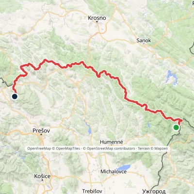 HardMulti-dayMarkedVýchodokarpatská magistrálaElevation profile390–1 209 m213.5 kmascent 7 991 munder 1 km from Kamienna (Kamenná lúka)
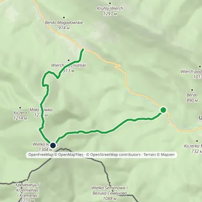 ModerateOne-dayMarkedWielka Rawka Tourist TrailElevation profile685–1 303 m8.8 kmascent 1 136 m≈ 4.5 h walking2.3 km from Kamienna (Kamenná lúka)
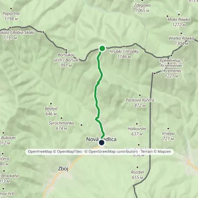 EasyOne-dayMarkedNová Sedlica ČierťažElevation profile390–1 072 m6.1 km≈ 1.5 h walking2.5 km from Kamienna (Kamenná lúka)
Nearby attractions
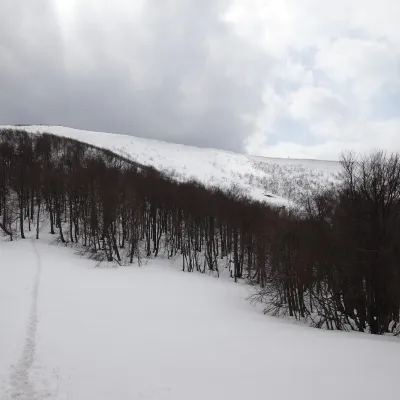 PeakWielka RawkaBrzegi Górnealtitude 1 307 m2.3 km from Kamienna (Kamenná lúka)Wielka Rawka (1,307 m) is the highest summit of the border range of the Western Bieszczady. It lies in Poland, inside Bieszczady National Park, some 5.4 km south-west...
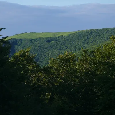 PeakMała RawkaBrzegi Górnealtitude 1 272 m2.9 km from Kamienna (Kamenná lúka)Mała Rawka (1,272 m) is a mountain in the Western Bieszczady and the highest point of the Dział ridge.
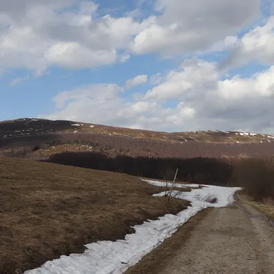 Mountain meadowPołonina CaryńskaBrzegi Górnealtitude 1 297 m6.7 km from Kamienna (Kamenná lúka)Połonina Caryńska (also called Berehowska) is a mountain massif and alpine meadow in the Western Bieszczady, between the valleys of the Prowcza and the Wołosaty, where...
Craft nearby
All craft places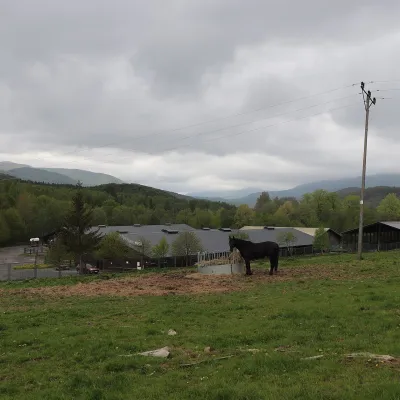 Horse ridingHucul Horse Stud in Wołosate, Bieszczady National ParkWołosate9.9 km from Kamienna (Kamenná lúka)Wołosate is the southernmost inhabited village in Poland, tucked away in the valley of the Wołosatka stream below Tarnica, the highest peak of the Polish Bieszczady.
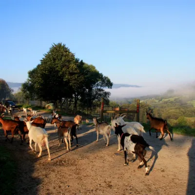 Cheese dairies & pasturesBieszczadzka Koza Goat Cheese Farm, SmolnikSmolnik17 km from Kamienna (Kamenná lúka)Bieszczadzka Koza ("the Bieszczady Goat") is a family goat farm and artisan cheese dairy in the village of Smolnik on the San, in the eastern Polish Bieszczady, right...
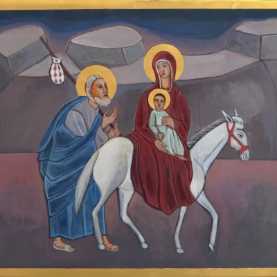 Crafts & workshopsVeraikon Icon Studio, Cisna: Carpathian icons and workshopsCisna21 km from Kamienna (Kamenná lúka)The Veraikon Icon Studio (Pracownia Ikon Veraikon) in Cisna is, in its owners' words, the oldest and largest icon studio in the Bieszczady.
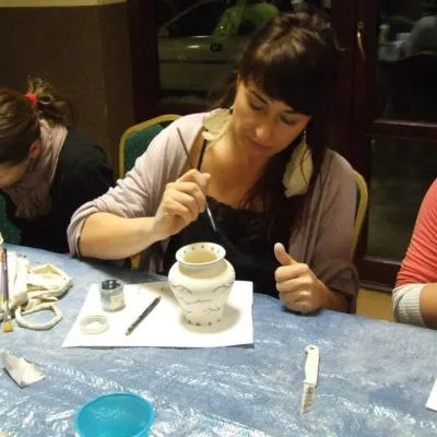 Crafts & workshopsGaleria Barak, Czarna: Bieszczady ceramics and workshopsCzarna Górna27 km from Kamienna (Kamenná lúka)Galeria Barak in the village of Czarna near Ustrzyki Dolne is the first private art gallery in the Bieszczady, and its story deserves telling.
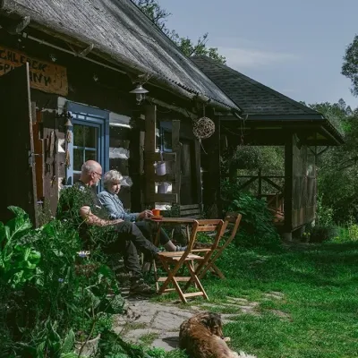 Craft producersBieszczadzkie Smaki, Smolnik: bread, liqueurs, preservesSmolnik36 km from Kamienna (Kamenná lúka)Bieszczadzkie Smaki (“Bieszczady Flavours”) is a family producer of natural foods in the village of Smolnik on the Osława river, Komańcza municipality, on the western...
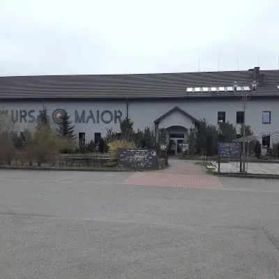 Craft beer & breweriesUrsa Maior Brewery, Uherce MineralneUherce Mineralne43 km from Kamienna (Kamenná lúka)Ursa Maior, or the Bieszczady Brewery (Bieszczadzka Wytwórnia Piwa), is an independent craft microbrewery in the village of Uherce Mineralne, between Lesko and...
