Brzegi Górne
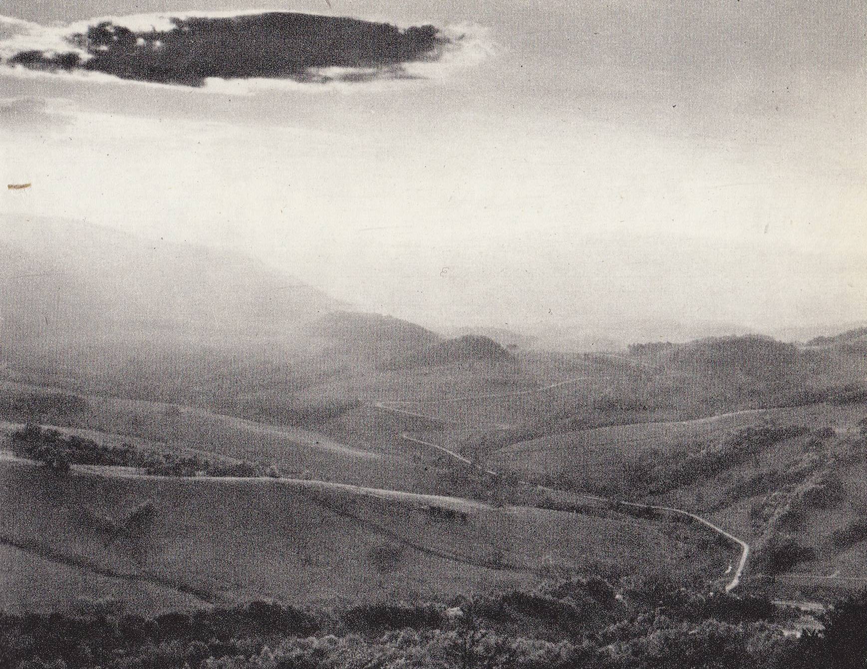
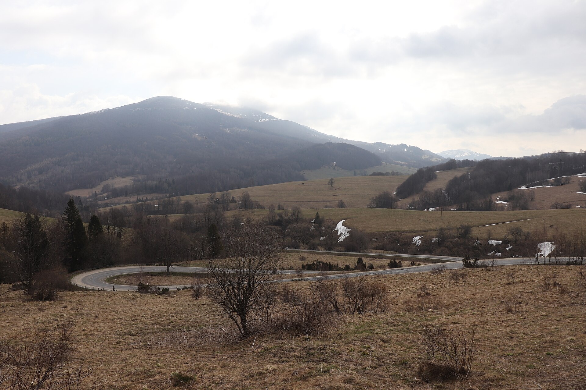
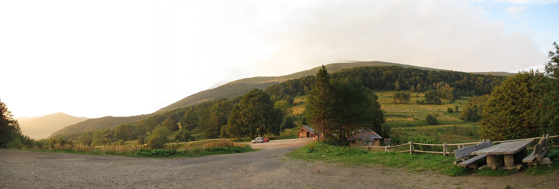
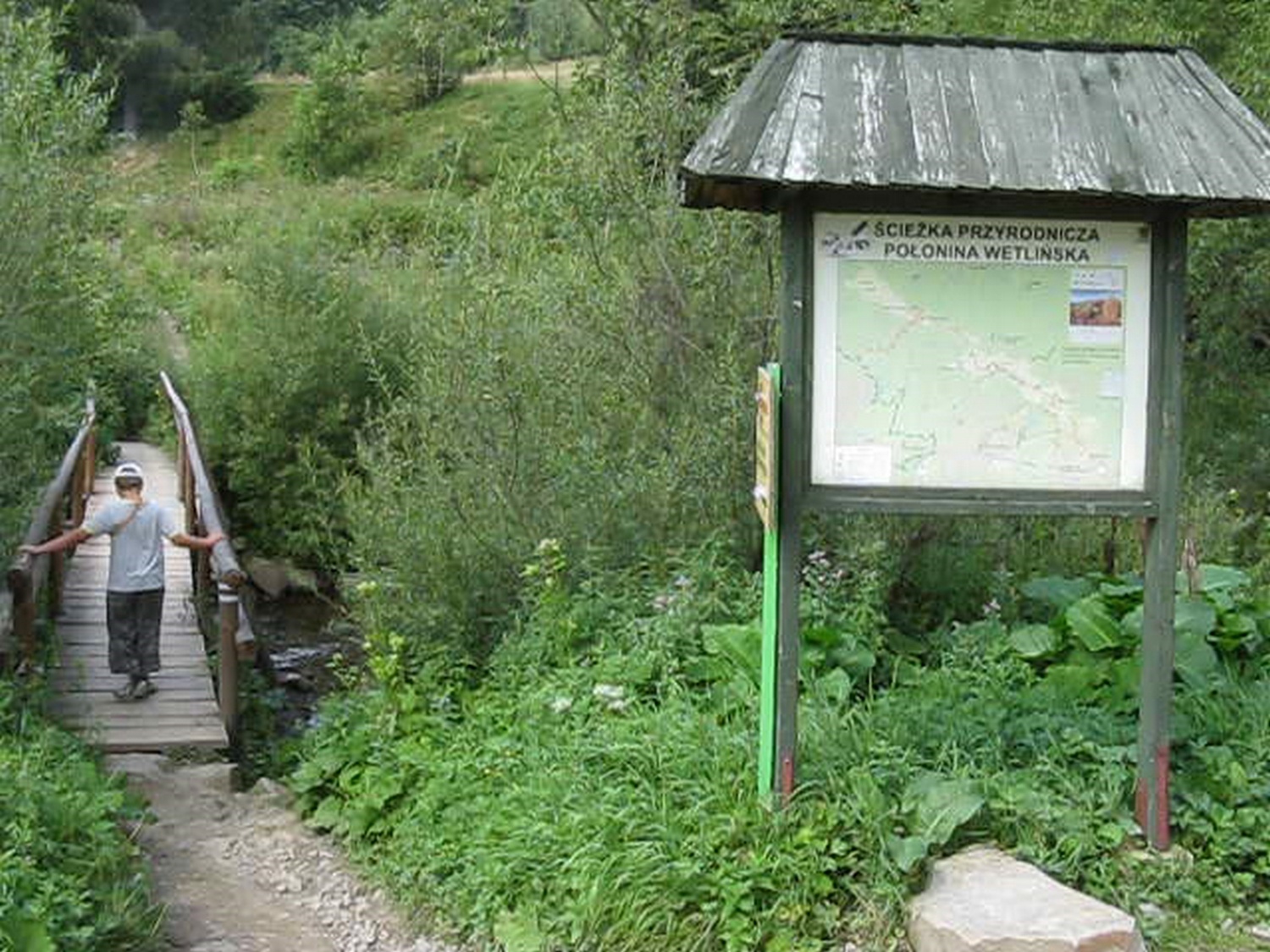
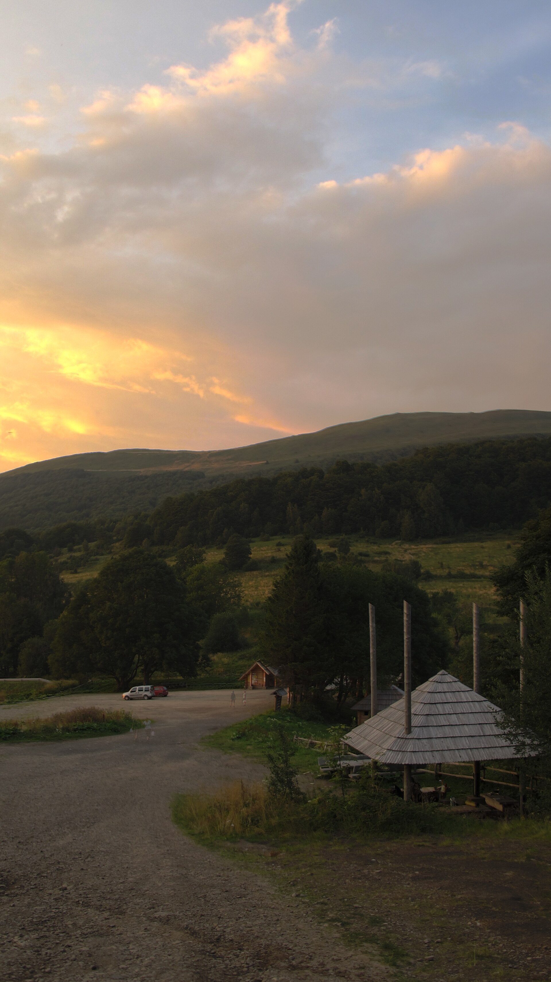
Photos: Tadeusz Sumiński, Public domain (Wikimedia Commons); Andrzej Otrębski, CC BY-SA 4.0 (Wikimedia Commons); Vojife, CC BY 3.0 (Wikimedia Commons); ceresina, CC BY-SA 3.0 (Wikimedia Commons); Vojife, CC BY 3.0 (Wikimedia Commons); Tadeusz Sumiński, Public domain (Wikimedia Commons)
Brzegi Górne is a small village in the sołectwo of Ustrzyki Górne, Gmina Lutowiska, Bieszczady County, Podkarpackie Voivodeship, Poland. It sits at 735 m above sea level in the scenic Bieszczady Mountains, right by regional road 897. The area is surrounded by mountain ridges, creating a distinctive Carpathian landscape.
There are no written records of the village's founding due to its ancient presence on Ukrainian ethnic lands. Until 1553, it was owned by Piotr Kmita Sobieński, then by his widow Barbara Kmita of the Herburt family, and later by her brother Stanisław Herburt. Until 1772, Brzegi Górne was part of the Przemyśl Land of the Ruthenian Voivodeship, then became part of Austria-Hungary. In 1946, the entire Ukrainian population was forcibly resettled to the Ukrainian SSR.
The village is known for its history as a former Boyko settlement and for its preserved Greek Catholic cemetery, restored in 1989 by the "Nadsanie" association and later by "Magurich". A gate adorned with a trident commemorates the Ukrainian past. Brzegi Górne is located near natural landmarks such as Polonina Wetlińska and Polonina Caryńska, and forms part of the unique Bieszczady environment.
For visitors, the Main Beskid Trail passes through here, linking Polonina Wetlińska, Brzegi Górne, Polonina Caryńska, and Ustrzyki Górne. Nearby, you can ascend peaks like Tarnica, Wielka Rawka, Mała Rawka, Hasiakowa Skała, and Smerek, or visit mountain huts: Bacówka pod Małą Rawką, Chatka Puchatka, Student Shelter "Koliba", Youth Shelter in Stuposiany, "Sociologist's Hut", and the PTTK Mountain Shelter. Nature lovers can choose routes such as Dział – Wyżnia Pass – Chatka Puchatka, Lutowiska – Sociologist's Hut, or the Wielka Rawka tourist trail.
Getting there from Ukraine
Lviv – Sanok ≈168 km, ≈3 h 20 min without queues: road to Shehyni → Shehyni – Medyka checkpoint → Przemyśl → DK28 via Bircza to Sanok (≈83 km, ≈1 h 45 min from the border). Alternative via Krakovets – Korczowa: A4 to the Radymno exit, DK77 to Przemyśl and DK28 (≈185 km from Lviv, ≈3 h 25 min). For the Bieszczady proper, Smilnytsia – Krościenko is handier: Lviv – Sambir – Staryi Sambir – border, then DK84 via Ustrzyki Dolne to Sanok (≈203 km, ≈5 h; ≈57 km from the border). From Krościenko to Ustrzyki Górne by DW896 ≈53 km (≈1 h 40 min; ≈200 km and ≈4 h 50 min from Lviv), to Wetlina by DW896 and DW897 ≈69 km (≈216 km and ≈5 h from Lviv). From Sanok: Ustrzyki Górne ≈82 km (DK84 via Lesko, then DW896, ≈1 h 35 min), Wetlina ≈72 km (DK84 to Lesko, DW894 via Baligród and Cisna, DW897, ≈1 h 20 min).
Sources: Wikipedia, Wikidata, OpenStreetMap, Karpaty.rocks data. More on Wikipedia
Trails nearby
All trails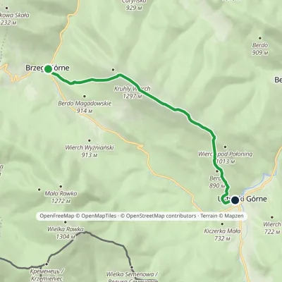 ModerateOne-dayMarkedNature trail «Common Beech» on Połonina CaryńskaElevation profile655–1 297 m8.6 kmascent 580 m≈ 3.5 h walkingunder 1 km from the centre
 HardMulti-dayMarkedMain Trail of BeskidyElevation profile309–1 723 m499.9 kmascent 19 519 munder 1 km from the centre
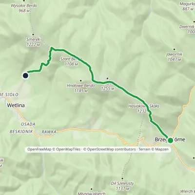 ModerateOne-dayMarkedNature trail «Globeflower» on Połonina WetlińskaElevation profile735–1 248 m10.3 kmascent 611 m≈ 4 h walkingunder 1 km from the centre
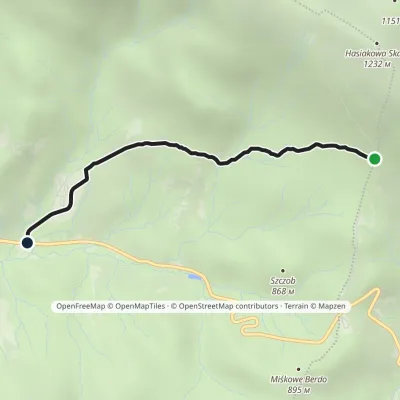
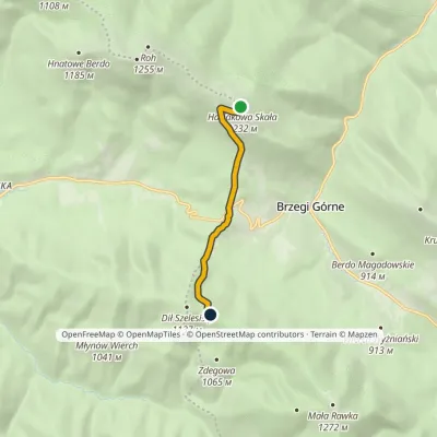 EasyOne-dayMarkedDział Chatka Puchatkavia Wyżna PassElevation profile869–1 232 m4.7 kmascent 240 m≈ 1.5 h walking1.4 km from the centre
 EasyOne-dayMarkedGórna Wetlinka Końska DrogaElevation profile721–996 m2.9 kmascent 13 m≈ 45 min walking1.7 km from the centre
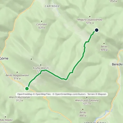 EasyOne-dayMarkedWyżniańska Pass Magura StuposiańskaElevation profile777–1 240 m7.1 kmascent 594 m≈ 3 h walking2.3 km from the centre
Peaks nearby
All peaks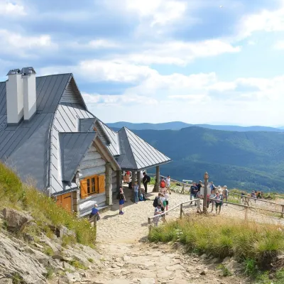 PeakHasiakowa SkałaBrzegi Górnealtitude 1 232 m2.3 km from the centreHasiakowa Skała (1,232 m) is the easternmost culmination of Połonina Wetlińska in the Western Bieszczady.
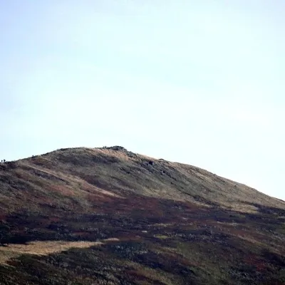 PeakKruhly WierchBrzegi Górnealtitude 1 297 m2.6 km from the centreKruhly Wierch (also Kruhły Wierch, 1,297 m) is the highest summit of Połonina Caryńska in the Western Bieszczady.
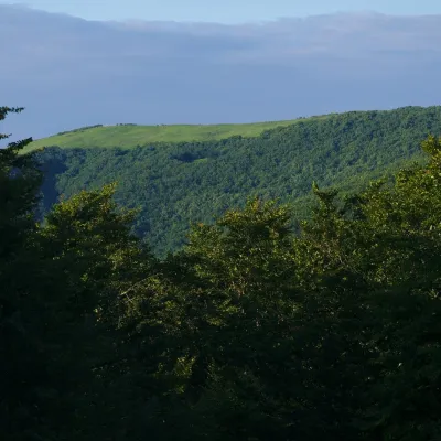 PeakMała RawkaBrzegi Górnealtitude 1 272 m3.5 km from the centreMała Rawka (1,272 m) is a mountain in the Western Bieszczady and the highest point of the Dział ridge.
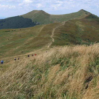 PeakOsadzki WierchBrzegi Górnealtitude 1 253 m4.2 km from the centreOsadzki Wierch (1,253 m; other sources 1,251 m) is the second-highest top of Połonina Wetlińska in the Western Bieszczady and the highest one reached by a hiking trail...
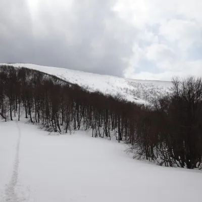 PeakWielka RawkaBrzegi Górnealtitude 1 307 m4.6 km from the centreWielka Rawka (1,307 m) is the highest summit of the border range of the Western Bieszczady. It lies in Poland, inside Bieszczady National Park, some 5.4 km south-west...
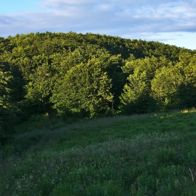 PeakKamienna (Kamenná lúka)Brzegi Górnealtitude 1 201 m · Gorgany range5.8 km from the centreKamienna, in Slovak Kamenná lúka, is a 1,201 m summit on the main ridge of the border range of the Western Bieszczady, on the Polish–Slovak border.
What to visit
All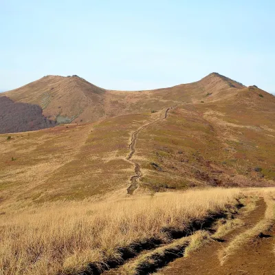 Mountain meadowPołonina WetlińskaBrzegi Górnealtitude 1 228 m2.3 km from the centrePołonina Wetlińska is a mountain massif and alpine meadow in the Polish part of the Western Bieszczady and one of the most visited places in these mountains.
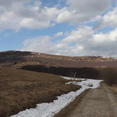 Mountain meadowPołonina CaryńskaBrzegi Górnealtitude 1 297 m2.6 km from the centrePołonina Caryńska (also called Berehowska) is a mountain massif and alpine meadow in the Western Bieszczady, between the valleys of the Prowcza and the Wołosaty, where...
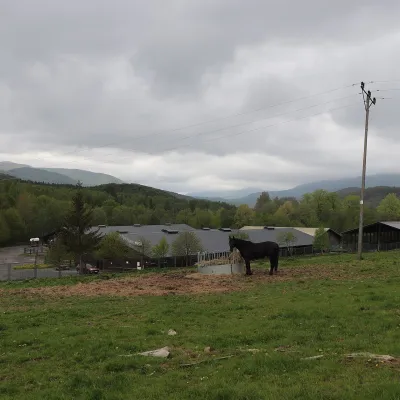 Horse ridingHucul Horse Stud in Wołosate, Bieszczady National ParkWołosate11 km from the centreWołosate is the southernmost inhabited village in Poland, tucked away in the valley of the Wołosatka stream below Tarnica, the highest peak of the Polish Bieszczady.
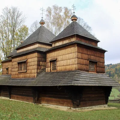 ChurchChurch of St Michael the Archangel in SmolnikSmolnik12 km from the centreThe Church of St Michael the Archangel in Smolnik is a wooden church in the San valley in the east of the Polish Bieszczady; since 2013 it has been part of the UNESCO...
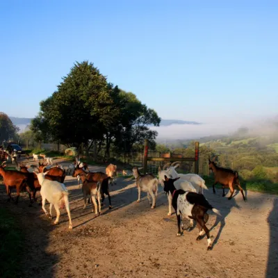 Cheese dairies & pasturesBieszczadzka Koza Goat Cheese Farm, SmolnikSmolnik12 km from the centreBieszczadzka Koza ("the Bieszczady Goat") is a family goat farm and artisan cheese dairy in the village of Smolnik on the San, in the eastern Polish Bieszczady, right...
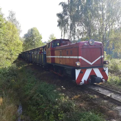 Historic siteBieszczady Forest RailwayLiszna21 km from the centreThe Bieszczady Forest Railway (Bieszczadzka Kolejka Leśna) is a 750 mm narrow-gauge line, the highest-lying narrow-gauge railway in Poland and one of the Bieszczady's...
Craft nearby
All craft places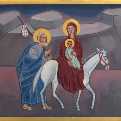 Crafts & workshopsVeraikon Icon Studio, Cisna: Carpathian icons and workshopsCisna19 km from the centreThe Veraikon Icon Studio (Pracownia Ikon Veraikon) in Cisna is, in its owners' words, the oldest and largest icon studio in the Bieszczady.
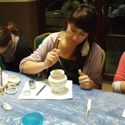 Crafts & workshopsGaleria Barak, Czarna: Bieszczady ceramics and workshopsCzarna Górna22 km from the centreGaleria Barak in the village of Czarna near Ustrzyki Dolne is the first private art gallery in the Bieszczady, and its story deserves telling.
Huts, shelters and springs nearby


Getting there from Ukraine
Border crossings
- Krakovets – Korczowa — road, 24/7
- Shehyni – Medyka — road, 24/7 Pedestrian crossing is not confirmed by the Ukrainian border service — check dpsu.gov.ua before the trip.
- Smilnytsia – Krościenko — road, 24/7
- Hrushiv – Budomierz — road, 24/7
- Mostyska – Przemyśl (rail) — rail, 24/7
By car
Lviv – Sanok ≈168 km, ≈3 h 20 min without queues: road to Shehyni → Shehyni – Medyka checkpoint → Przemyśl → DK28 via Bircza to Sanok (≈83 km, ≈1 h 45 min from the border). Alternative via Krakovets – Korczowa: A4 to the Radymno exit, DK77 to Przemyśl and DK28 (≈185 km from Lviv, ≈3 h 25 min). For the Bieszczady proper, Smilnytsia – Krościenko is handier: Lviv – Sambir – Staryi Sambir – border, then DK84 via Ustrzyki Dolne to Sanok (≈203 km, ≈5 h; ≈57 km from the border). From Krościenko to Ustrzyki Górne by DW896 ≈53 km (≈1 h 40 min; ≈200 km and ≈4 h 50 min from Lviv), to Wetlina by DW896 and DW897 ≈69 km (≈216 km and ≈5 h from Lviv). From Sanok: Ustrzyki Górne ≈82 km (DK84 via Lesko, then DW896, ≈1 h 35 min), Wetlina ≈72 km (DK84 to Lesko, DW894 via Baligród and Cisna, DW897, ≈1 h 20 min).
Checked 23.10.2026; border crossing hours and timetables change — check before you travel.
