Bieszczady County
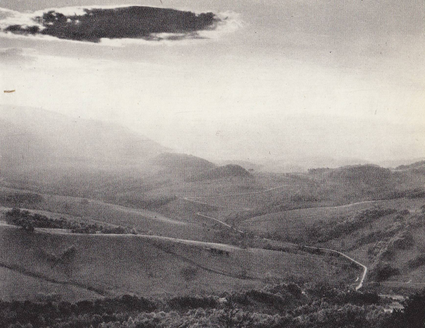
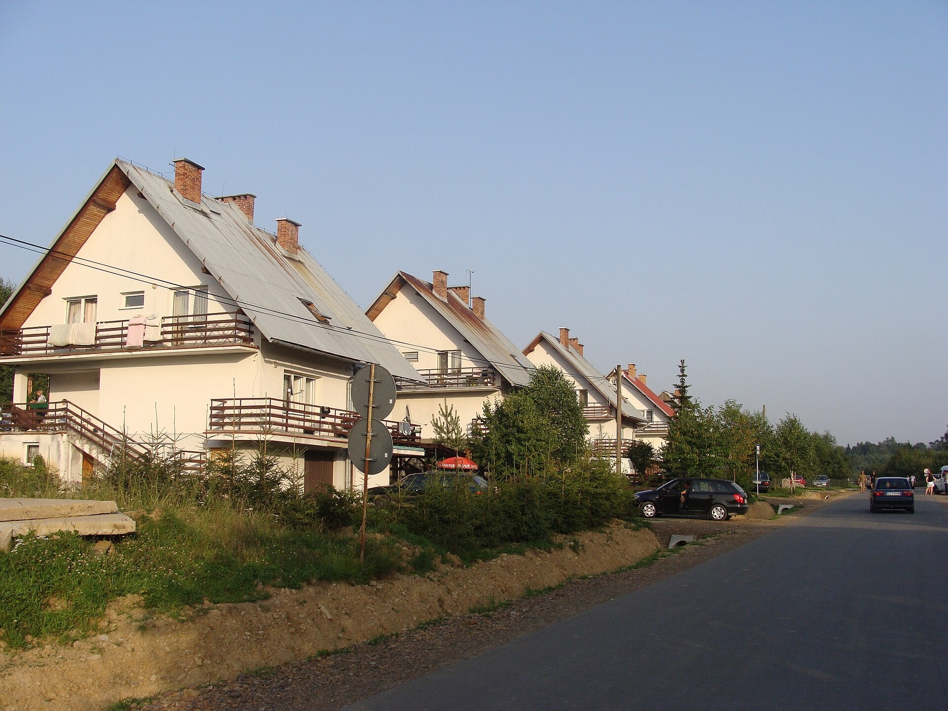
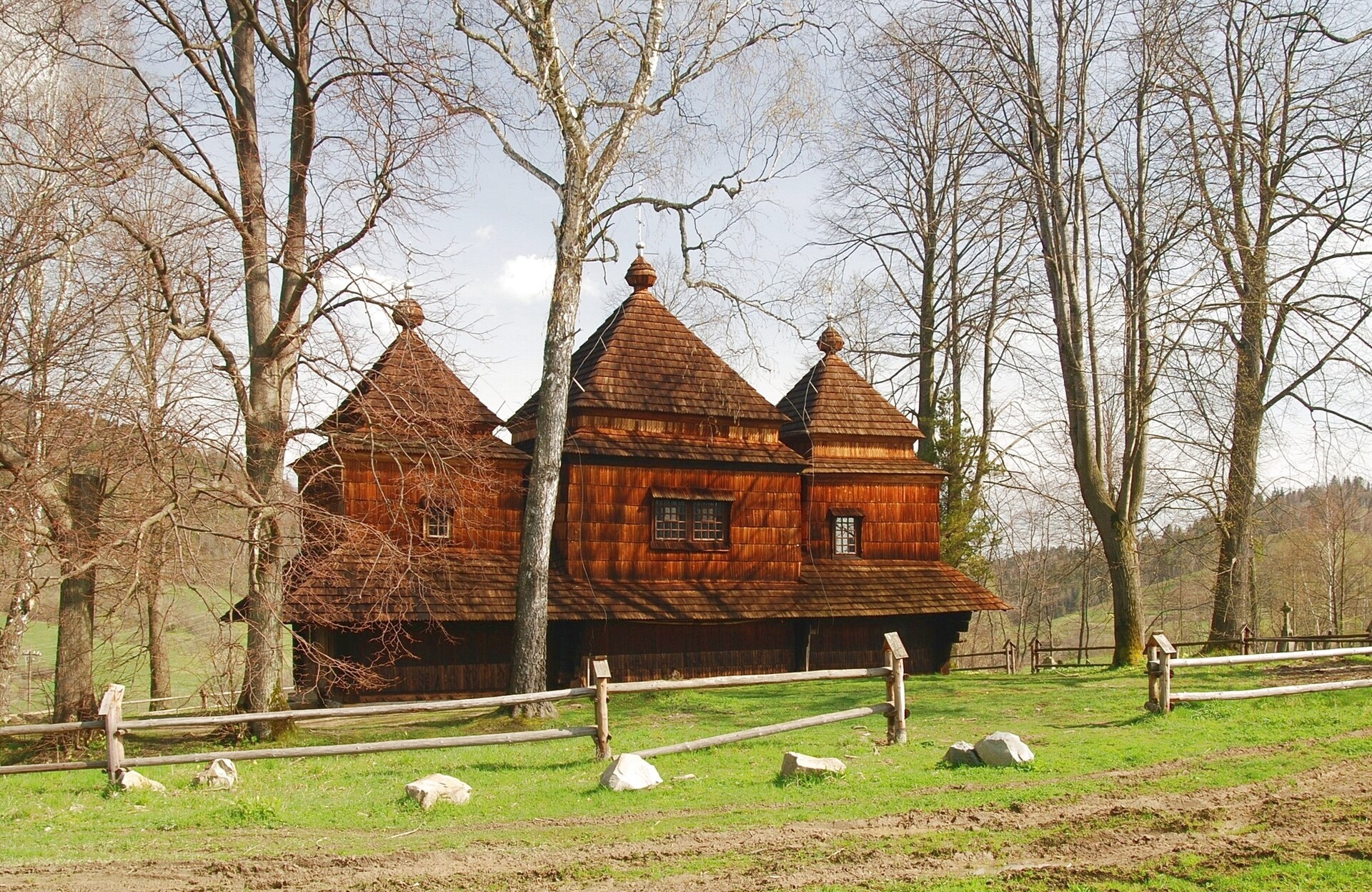
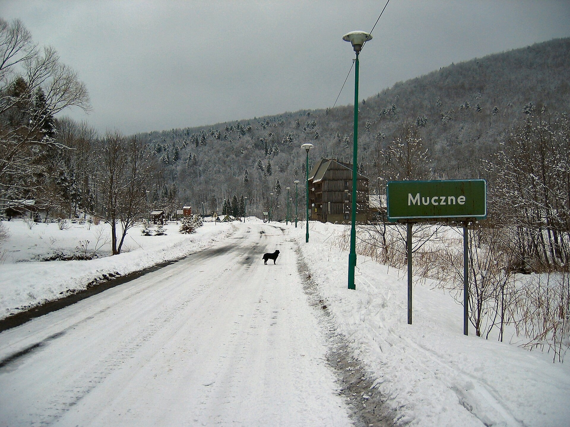
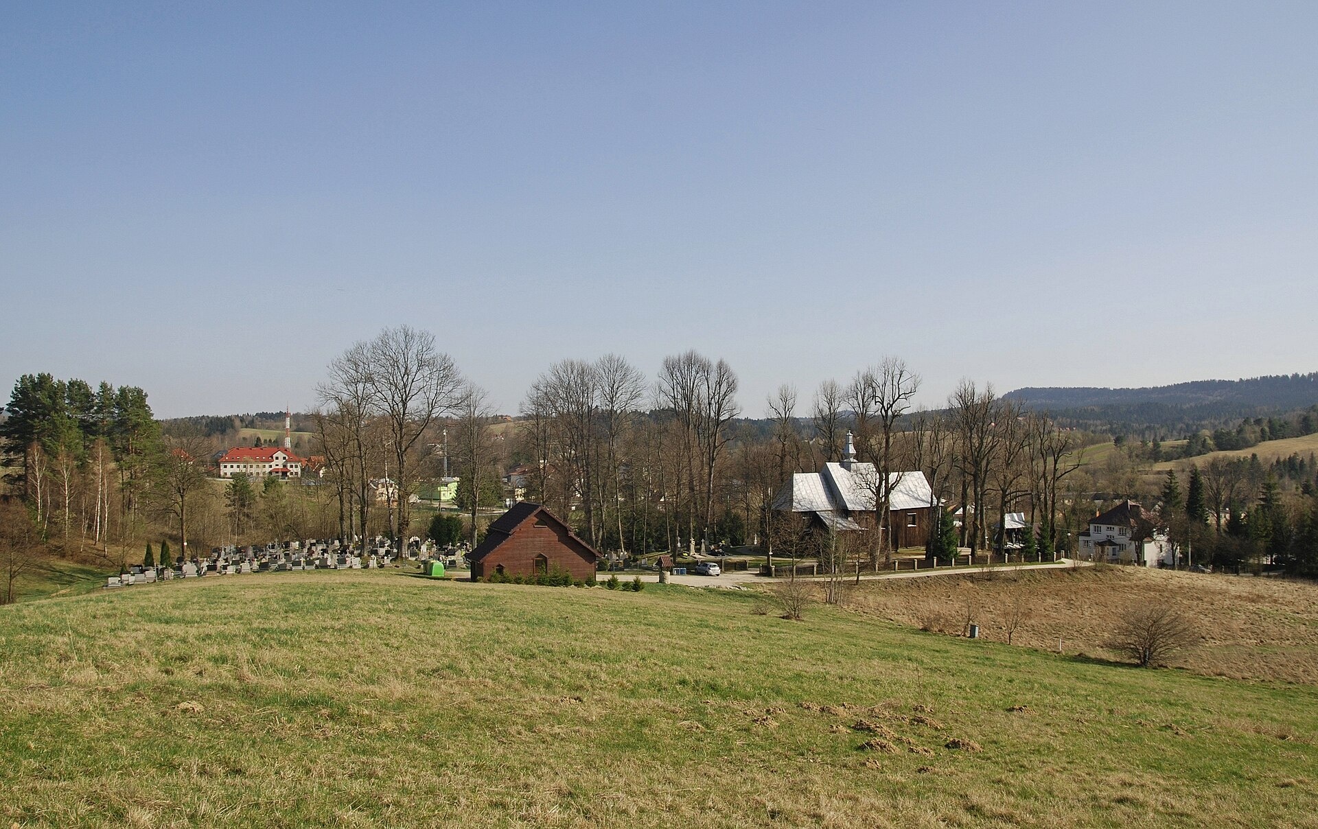
Photos: Brzegi Górne (Tadeusz Sumiński, Public domain); Wołosate (Herstass, CC BY-SA 3.0); Smolnik (Henryk Bielamowicz, CC BY-SA 4.0); Muczne (Alankomaat, CC BY-SA 3.0); Czarna Górna (Henryk Bielamowicz, CC BY 3.0)
Bieszczady County is an administrative district in the south-eastern part of the Podkarpackie Voivodeship, Poland, on the border with Ukraine. Its seat and only town is Ustrzyki Dolne. The county was established on January 1, 1999, as part of an administrative reform. It is the least densely populated county in Poland and lies on ancient Ukrainian ethnic lands, where many villages disappeared after the deportations of 1944–1947, leaving only cemeteries and ruins.
Bieszczady County covers the eastern part of the Polish Bieszczady Mountains, part of the Sanocko-Turczańskie Mountains, and a fragment of the Przemyśl Foothills. It includes a significant part of Bieszczady National Park and is within the Polish section of the UNESCO-designated East Carpathian Biosphere Reserve. The region is known for its mountain landscapes, meadows, and rich nature.
On karpaty.rocks, Bieszczady County features numerous objects, especially in Berehy Górne, Wołosate, Ustrzyki Górne, Bereżki, Muczne, Chmiel, and Smolnik. Popular trails include the Natural-Historical Path "In the Upper San Valley", Muczne – Bukowe Berdo, and Wyżniańska Pass – Magura Stuposiańska. Notable peaks are Tarnica, Hasiakowa Skała, and Wielka Rawka. Sights include Polonina Caryńska, the Church of Archangel Michael in Smolnik, and the Bieszczady National Park Nature Museum in Ustrzyki Dolne.
Getting there from Ukraine
Lviv – Sanok ≈168 km, ≈3 h 20 min without queues: road to Shehyni → Shehyni – Medyka checkpoint → Przemyśl → DK28 via Bircza to Sanok (≈83 km, ≈1 h 45 min from the border). For the Bieszczady proper, Smilnytsia – Krościenko is handier: Lviv – Sambir – Staryi Sambir – border, then DK84 via Ustrzyki Dolne to Sanok (≈203 km, ≈5 h; ≈57 km from the border).
Sources: Wikipedia, Wikidata, OpenStreetMap, Karpaty.rocks data.
Towns and villages
 Brzegi Górne6 trails, 6 peaks, 2 sights
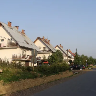 Wołosate4 trails, 5 peaks, 1 craft place
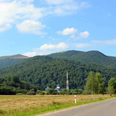 Ustrzyki Górne3 trails, 1 mountain hut or shelter
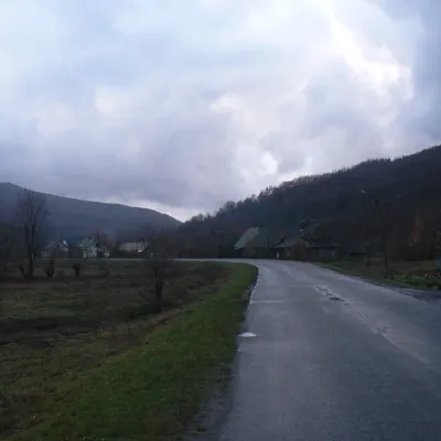 Bereżki3 trails, 1 mountain hut or shelter
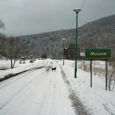 Muczne1 trail, 2 peaks
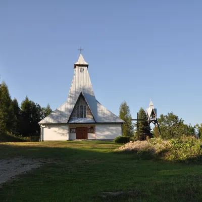 Zatwarnica2 trails
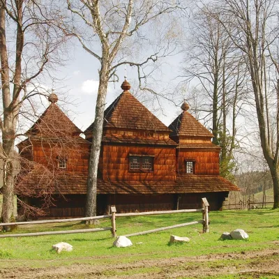 Smolnik1 sight, 1 craft place
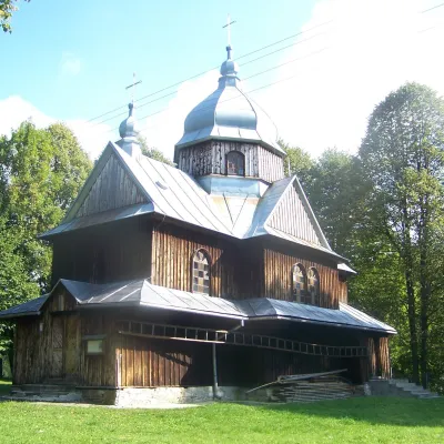 Chmiel1 trail, 1 mountain hut or shelter
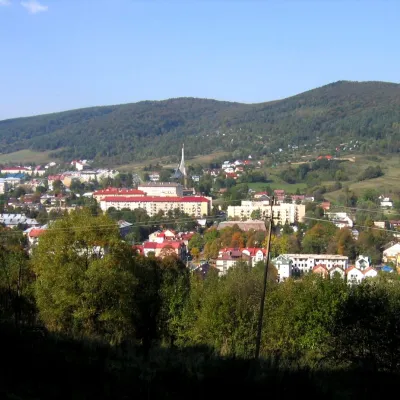 Ustrzyki Dolne1 sight
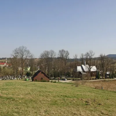 Czarna Górna1 craft place
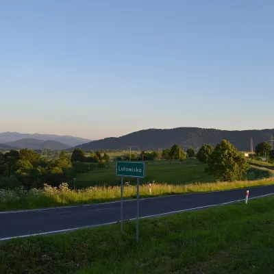 Lutowiska1 trail
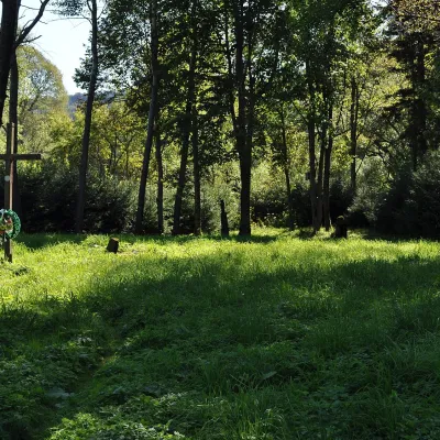 Stuposiany1 mountain hut or shelter
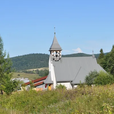 Tarnawa Niżna1 trail
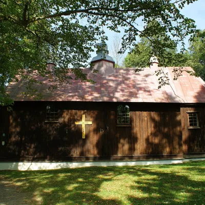 Polana
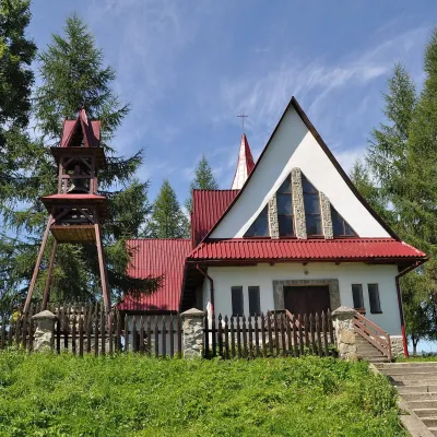 Lipie
Getting there from Ukraine
Border crossings
- Krakovets – Korczowa — road, 24/7
- Shehyni – Medyka — road, 24/7 Pedestrian crossing is not confirmed by the Ukrainian border service — check dpsu.gov.ua before the trip.
- Smilnytsia – Krościenko — road, 24/7
- Hrushiv – Budomierz — road, 24/7
- Mostyska – Przemyśl (rail) — rail, 24/7
By car
Lviv – Sanok ≈168 km, ≈3 h 20 min without queues: road to Shehyni → Shehyni – Medyka checkpoint → Przemyśl → DK28 via Bircza to Sanok (≈83 km, ≈1 h 45 min from the border). Alternative via Krakovets – Korczowa: A4 to the Radymno exit, DK77 to Przemyśl and DK28 (≈185 km from Lviv, ≈3 h 25 min). For the Bieszczady proper, Smilnytsia – Krościenko is handier: Lviv – Sambir – Staryi Sambir – border, then DK84 via Ustrzyki Dolne to Sanok (≈203 km, ≈5 h; ≈57 km from the border). From Krościenko to Ustrzyki Górne by DW896 ≈53 km (≈1 h 40 min; ≈200 km and ≈4 h 50 min from Lviv), to Wetlina by DW896 and DW897 ≈69 km (≈216 km and ≈5 h from Lviv). From Sanok: Ustrzyki Górne ≈82 km (DK84 via Lesko, then DW896, ≈1 h 35 min), Wetlina ≈72 km (DK84 to Lesko, DW894 via Baligród and Cisna, DW897, ≈1 h 20 min).
Checked 23.10.2026; border crossing hours and timetables change — check before you travel.
