Wołosate
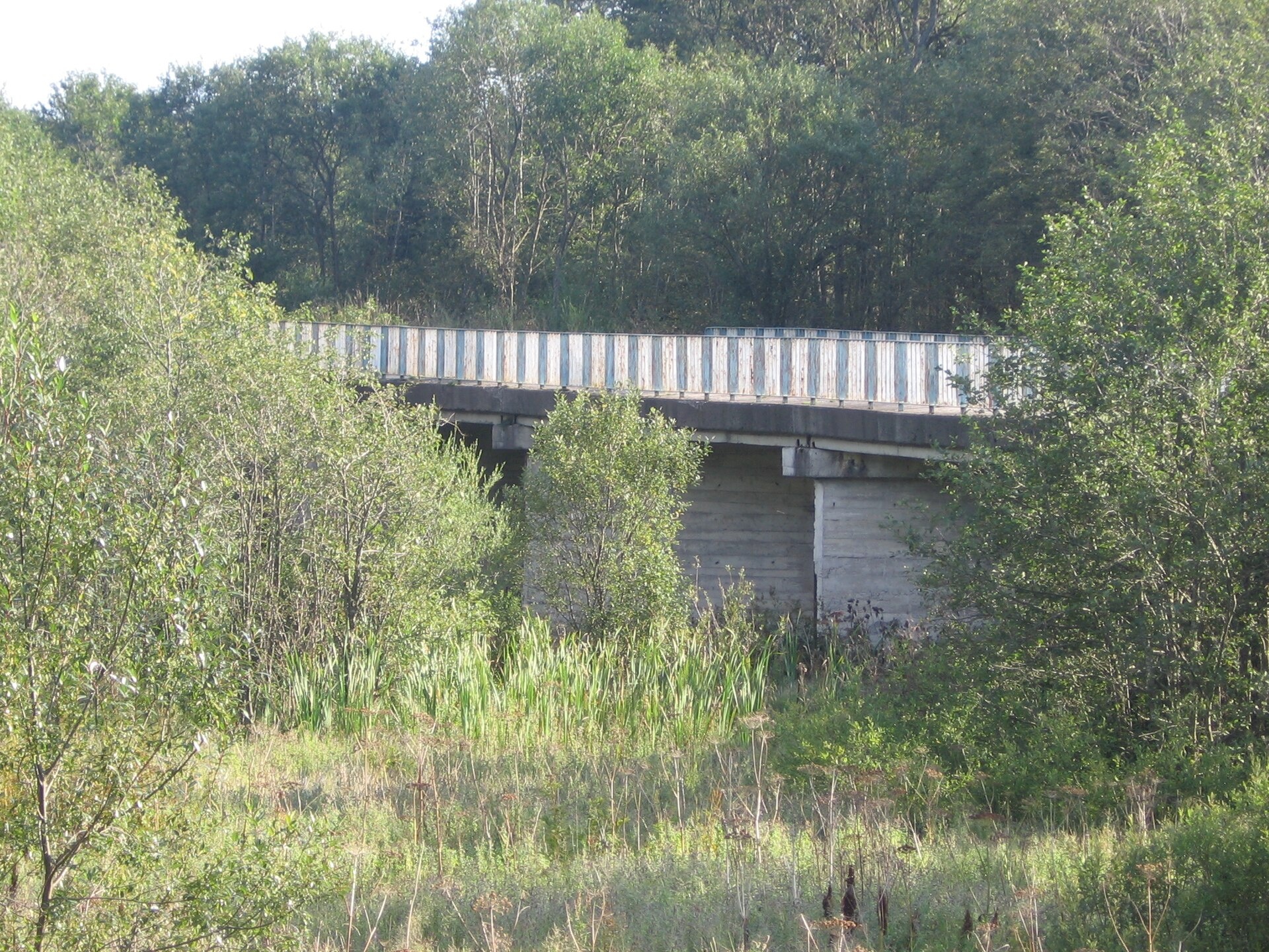
Photos: Herstass, CC BY-SA 3.0 (Wikimedia Commons); Andrzej Otrębski, CC BY-SA 4.0 (Wikimedia Commons); Silar, CC BY-SA 4.0 (Wikimedia Commons); Silar, CC BY-SA 4.0 (Wikimedia Commons); User:PM / pl:Wikipedysta:P, Public domain (Wikimedia Commons); Tadeusz Sumiński, Public domain (Wikimedia Commons)
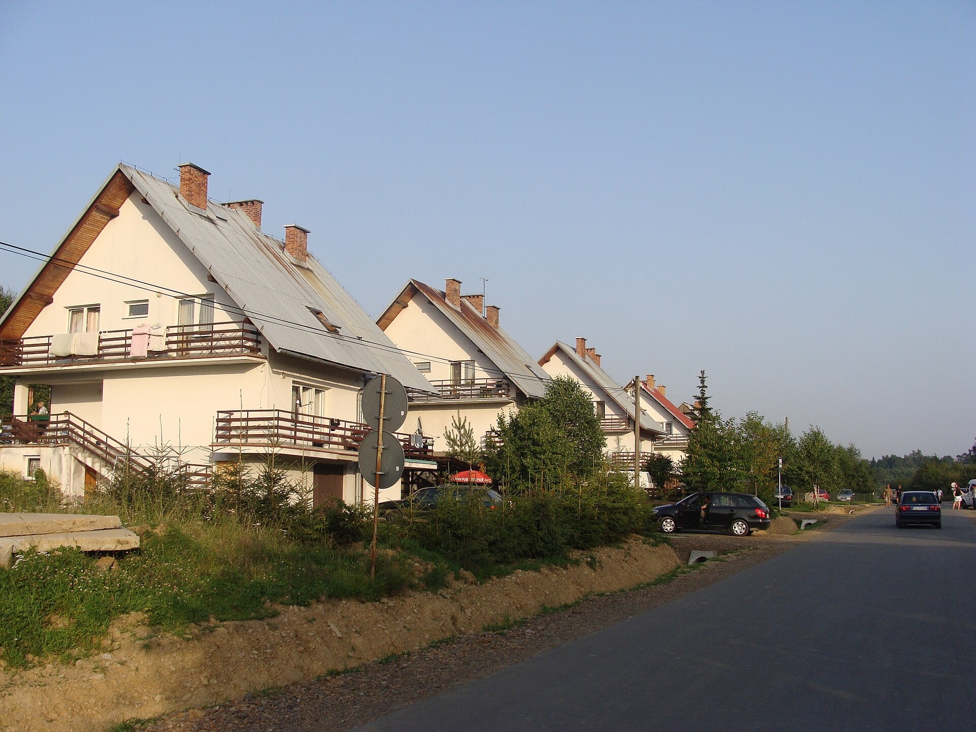
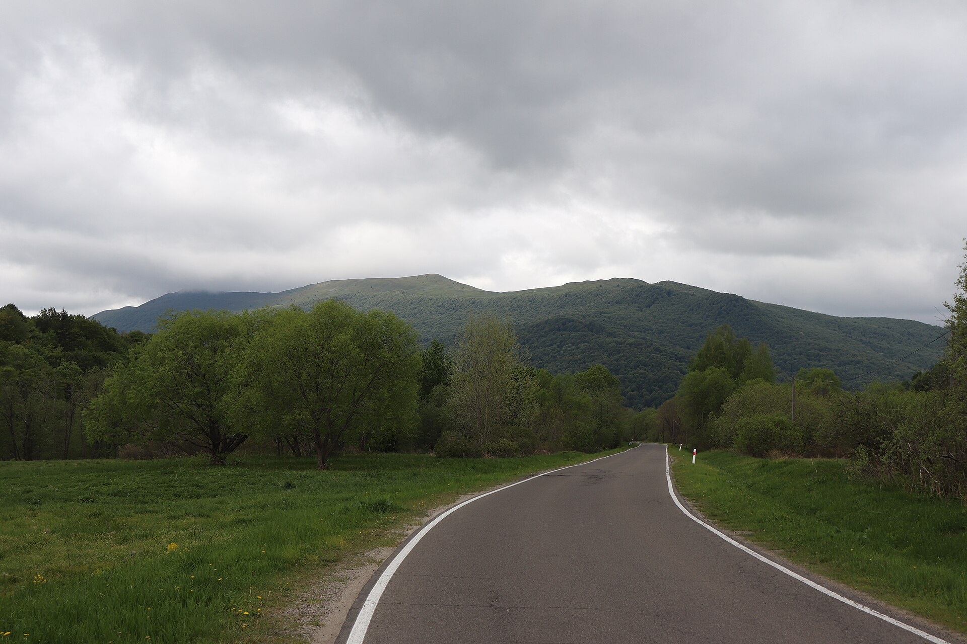
Wołosate is a village in the administrative district of Gmina Lutowiska, Bieszczady County, Podkarpackie Voivodeship, Poland. It lies in the southeastern corner of the country, in the eastern part of the Polish Bieszczady Mountains, in the Wołosatka valley at the foot of Tarnica, near the border with Ukraine. The village is located within the Bieszczady National Park, surrounded by the scenic Bieszczady range.
Wołosate was first mentioned in 1565 under the name Wołosaty. Until 1772, it belonged to the royal domain in the Przemyśl Land of the Ruthenian Voivodeship. In the 17th and 18th centuries, Wołosate was a center of "beskidnictwo" (mountain banditry), and during the Khmelnytsky Uprising, local peasants took part in uprisings. After World War II, the inhabitants were forcibly resettled, and the village and church were destroyed. Only the church foundations, cemetery, and several roadside crosses remain from the old settlement.
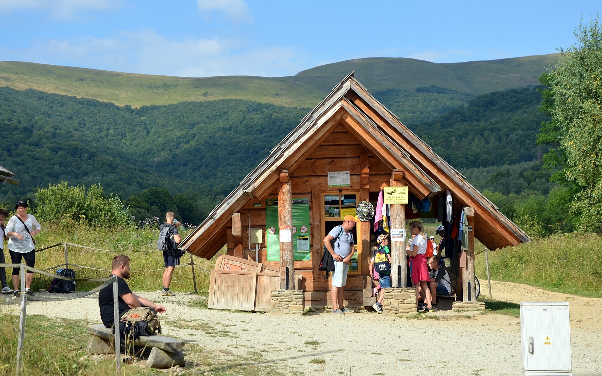
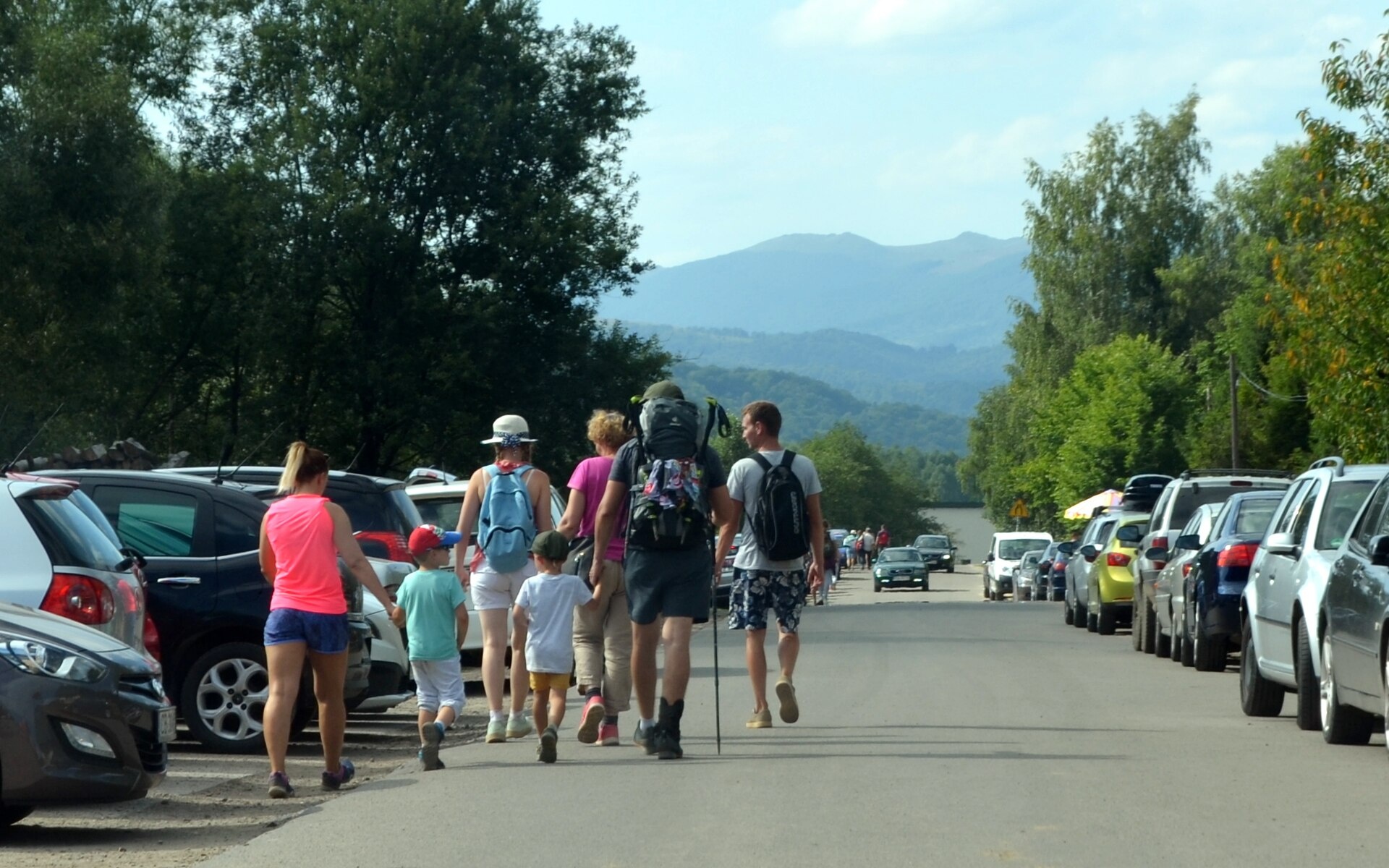
Today, Wołosate is known for its natural beauty and history. The ruins of the cemetery can still be visited, with recognizable graves of local residents, including the village priest. The village hosts a Hutsul horse breeding center, where visitors can take riding lessons or go for a ride. Wołosate is the starting point for the trail to Tarnica and marks the beginning of the Main Beskid Trail.
Visitors to Wołosate can enjoy numerous activities: the "Wołosate – Tarnica" hiking trail starts here, as do routes such as the nature-historical trail "In the Upper San Valley" and the route to Muczne – Bukowe Berdo. Other nearby trails include the pass Wyżniańska – Magura Stuposiańska. Nature lovers can visit the Caryńska and Wetlińska meadows, while peaks like Tarnica, Halicz, Rozsypaniec, and Wielka Rawka offer panoramic views. The Bieszczady National Park's Hutsul horse stable operates in the village. For overnight stays, there are shelters such as Bacówka pod Małą Rawką, student shelter "Koliba", Chatka Puchatka, and the PTTK Mountain Shelter.
Getting there from Ukraine
Lviv – Sanok ≈168 km, ≈3 h 20 min without queues: road to Shehyni → Shehyni – Medyka checkpoint → Przemyśl → DK28 via Bircza to Sanok (≈83 km, ≈1 h 45 min from the border). Alternative via Krakovets – Korczowa: A4 to the Radymno exit, DK77 to Przemyśl and DK28 (≈185 km from Lviv, ≈3 h 25 min). For the Bieszczady proper, Smilnytsia – Krościenko is handier: Lviv – Sambir – Staryi Sambir – border, then DK84 via Ustrzyki Dolne to Sanok (≈203 km, ≈5 h; ≈57 km from the border). From Krościenko to Ustrzyki Górne by DW896 ≈53 km (≈1 h 40 min; ≈200 km and ≈4 h 50 min from Lviv), to Wetlina by DW896 and DW897 ≈69 km (≈216 km and ≈5 h from Lviv). From Sanok: Ustrzyki Górne ≈82 km (DK84 via Lesko, then DW896, ≈1 h 35 min), Wetlina ≈72 km (DK84 to Lesko, DW894 via Baligród and Cisna, DW897, ≈1 h 20 min).
Sources: Wikipedia, Wikidata, OpenStreetMap, Karpaty.rocks data. More on Wikipedia
Trails nearby
All trails HardMulti-dayMarkedMain Trail of BeskidyElevation profile309–1 723 m499.9 kmascent 19 519 munder 1 km from the centre
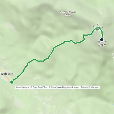 EasyOne-dayMarkedNature and Historical Trail Wołosate TarnicaElevation profile739–1 346 m4.3 kmascent 607 m≈ 2.5 h walkingunder 1 km from the centre
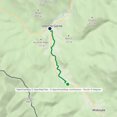 EasyOne-dayMarkedNature Trail "Salamandra" Ustrzyki Górne WołosateElevation profile649–703 m4 kmascent 11 m≈ 1 h walking2.3 km from the centre
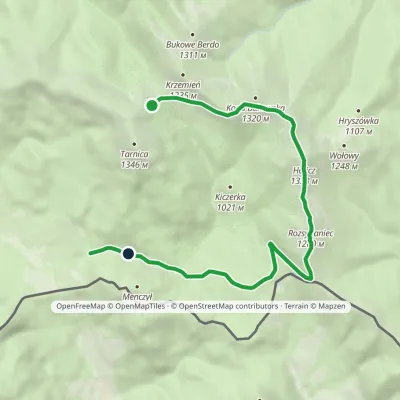 EasyOne-dayMarkedNature Trail Rozsypaniec KrzemieńElevation profile782–1 333 m11.3 kmascent 265 m≈ 3.5 h walking2.4 km from the centre
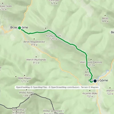 ModerateOne-dayMarkedNature trail «Common Beech» on Połonina CaryńskaElevation profile655–1 297 m8.6 kmascent 580 m≈ 3.5 h walking5.4 km from the centre
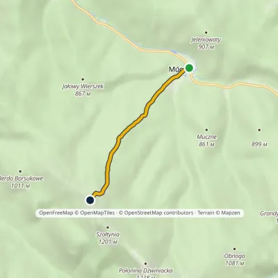 EasyOne-dayMarkedMuczne Bukowe BerdoElevation profile718–1 152 m3.2 kmascent 434 m≈ 1.5 h walking5.7 km from the centre
Peaks nearby
All peaks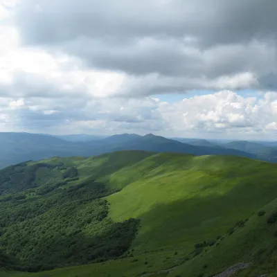 PeakSzeroki WierchWołosatealtitude 1 268 m2.9 km from the centreSzeroki Wierch («Broad Top») is a mountain massif in the połonina range of the Western Bieszczady, the western wing of the Tarnica group in Bieszczady National Park.
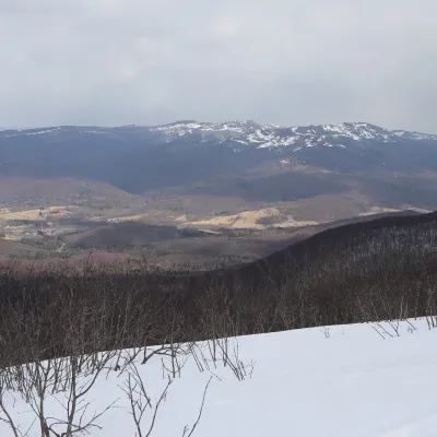 PeakTarnicaWołosatealtitude 1 346 m · Volcanic Carpathians range3.3 km from the centreTarnica is the highest peak of the Polish Bieszczady and of the whole Subcarpathian Voivodeship, rising to 1,346 m.
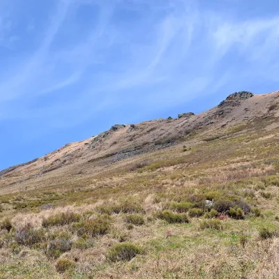 PeakKrzemieńWołosatealtitude 1 335 m4.7 km from the centreKrzemień is a 1,335 m mountain, the second-highest peak of the Polish Bieszczady and of the whole Western Bieszczady after Tarnica.
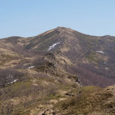 PeakBukowe BerdoMucznealtitude 1 311 m5.2 km from the centreBukowe Berdo is a mountain massif and a summit of 1,311 m in the Western Bieszczady, inside Bieszczady National Park.
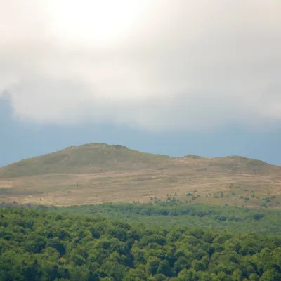 PeakKopa BukowskaMucznealtitude 1 320 m5.7 km from the centreKopa Bukowska (1,320 m) is a summit in the Western Bieszczady, one of the mountains of the Tarnica and Halicz group in Bieszczady National Park.
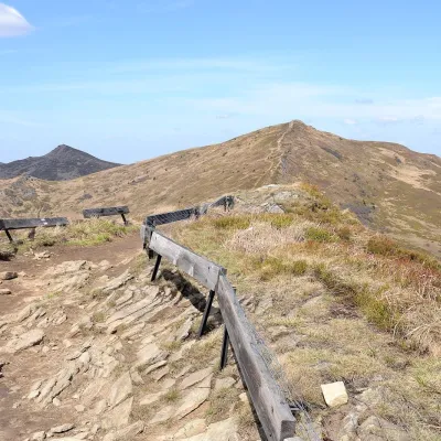 PeakHaliczWołosatealtitude 1 333 m6.2 km from the centreHalicz is a 1,333 m peak, the third-highest in the Polish Bieszczady and in the whole Western Bieszczady.
What to visit
All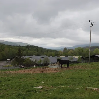 Horse ridingHucul Horse Stud in Wołosate, Bieszczady National ParkWołosateunder 1 km from the centreWołosate is the southernmost inhabited village in Poland, tucked away in the valley of the Wołosatka stream below Tarnica, the highest peak of the Polish Bieszczady.
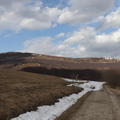 Mountain meadowPołonina CaryńskaBrzegi Górnealtitude 1 297 m10 km from the centrePołonina Caryńska (also called Berehowska) is a mountain massif and alpine meadow in the Western Bieszczady, between the valleys of the Prowcza and the Wołosaty, where...
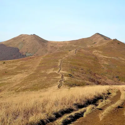 Mountain meadowPołonina WetlińskaBrzegi Górnealtitude 1 228 m14 km from the centrePołonina Wetlińska is a mountain massif and alpine meadow in the Polish part of the Western Bieszczady and one of the most visited places in these mountains.
Craft nearby
All craft places
Huts, shelters and springs nearby
Getting there from Ukraine
Border crossings
- Krakovets – Korczowa — road, 24/7
- Shehyni – Medyka — road, 24/7 Pedestrian crossing is not confirmed by the Ukrainian border service — check dpsu.gov.ua before the trip.
- Smilnytsia – Krościenko — road, 24/7
- Hrushiv – Budomierz — road, 24/7
- Mostyska – Przemyśl (rail) — rail, 24/7
By car
Lviv – Sanok ≈168 km, ≈3 h 20 min without queues: road to Shehyni → Shehyni – Medyka checkpoint → Przemyśl → DK28 via Bircza to Sanok (≈83 km, ≈1 h 45 min from the border). Alternative via Krakovets – Korczowa: A4 to the Radymno exit, DK77 to Przemyśl and DK28 (≈185 km from Lviv, ≈3 h 25 min). For the Bieszczady proper, Smilnytsia – Krościenko is handier: Lviv – Sambir – Staryi Sambir – border, then DK84 via Ustrzyki Dolne to Sanok (≈203 km, ≈5 h; ≈57 km from the border). From Krościenko to Ustrzyki Górne by DW896 ≈53 km (≈1 h 40 min; ≈200 km and ≈4 h 50 min from Lviv), to Wetlina by DW896 and DW897 ≈69 km (≈216 km and ≈5 h from Lviv). From Sanok: Ustrzyki Górne ≈82 km (DK84 via Lesko, then DW896, ≈1 h 35 min), Wetlina ≈72 km (DK84 to Lesko, DW894 via Baligród and Cisna, DW897, ≈1 h 20 min).
Checked 23.10.2026; border crossing hours and timetables change — check before you travel.
