Podkarpackie Voivodeship
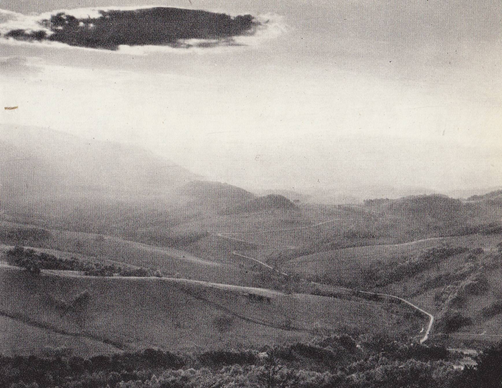
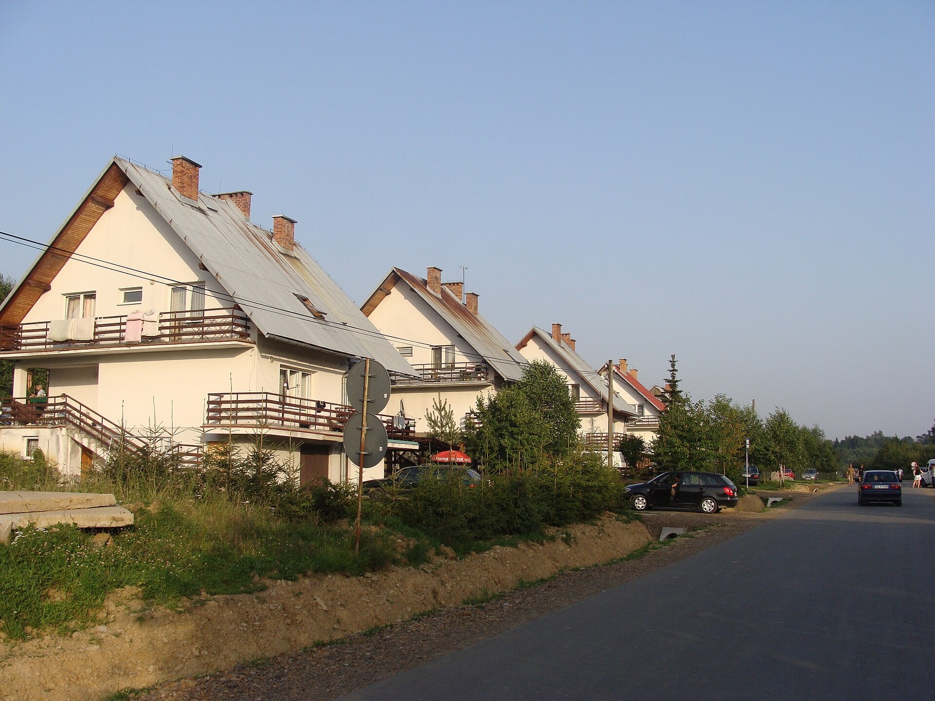
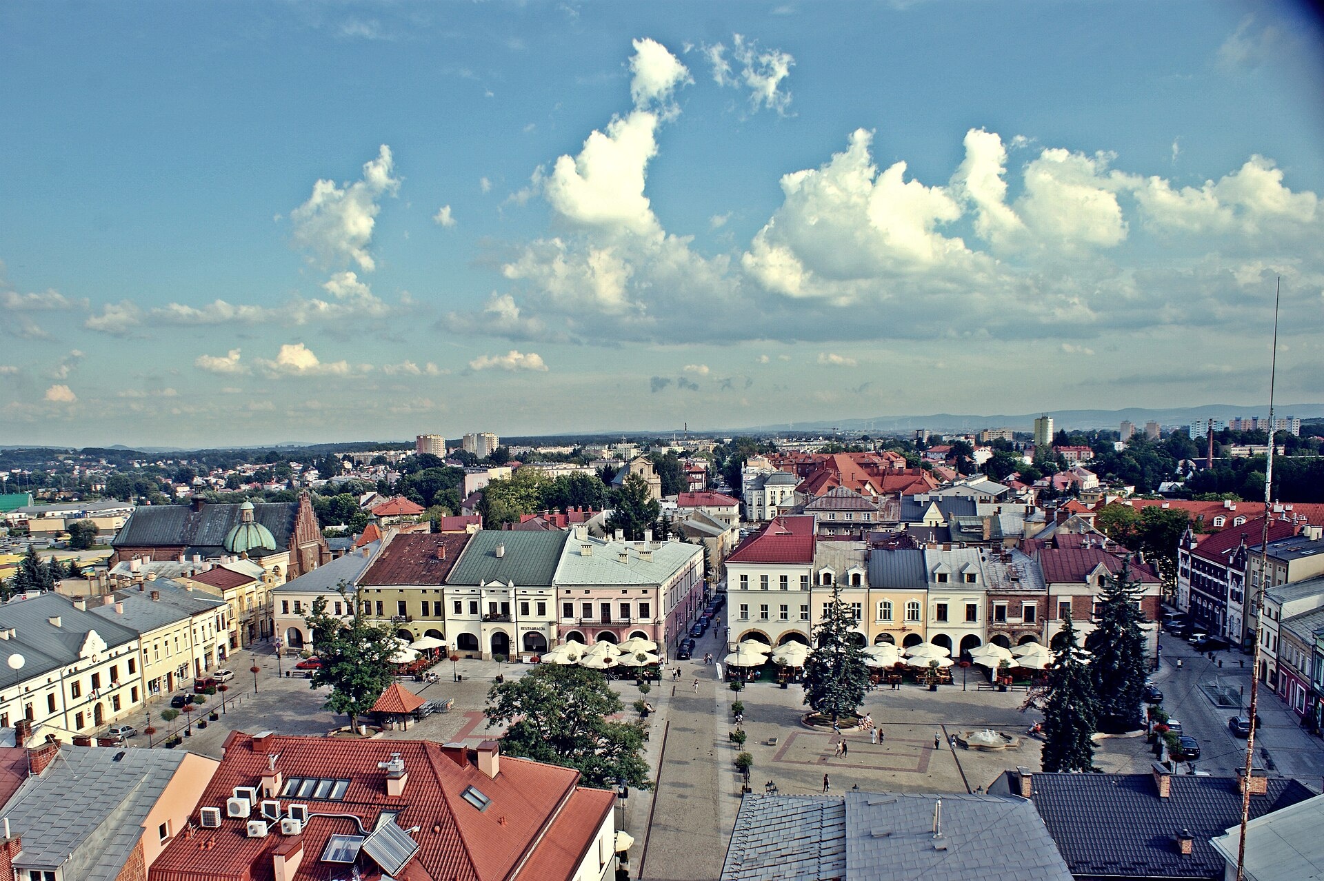
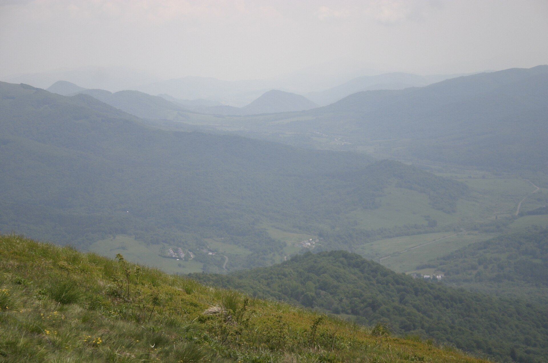
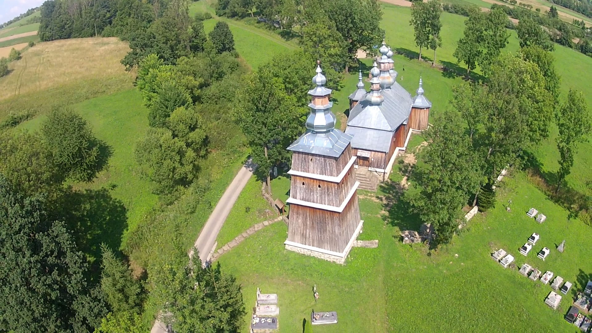
Photos: Brzegi Górne (Tadeusz Sumiński, Public domain); Wołosate (Herstass, CC BY-SA 3.0); Krosno (Janalexandernovalis, CC BY-SA 3.0 pl); Wetlina (User:P.pilecki, CC BY 3.0); Turzańsk (Verid1st, CC BY-SA 3.0 pl)
Podkarpackie Voivodeship is an administrative region in southeastern Poland, with its capital in Rzeszów. Established in 1999 following an administrative reform, it merged the former Rzeszów, Przemyśl, and parts of Krosno, Tarnobrzeg, and Tarnów voivodeships. The region includes historic lands such as Lemkivshchyna, western Boykivshchyna, Posannya, and part of Galicia.
The southern part of the voivodeship is occupied by the Bieszczady and Low Beskids, as well as the slopes of the Przemyśl, Dynów, Strzyżów, Czenczów foothills, and Roztocze. Nearly half the area is forested, with Bieszczady and Magura National Parks, 10 landscape parks, and numerous nature reserves. The region is known for mineral water springs, scenic mountain meadows, and rich natural heritage.
karpaty.rocks features towns and villages with the most attractions: Bieszczady, Lesko, Jasło, Krosno, and Sanok counties. Highlights include the Oil and Gas Museum in Bóbrka, Bieszczady Forest Railway, Solina Lake, and the open-air museum in Sanok. There are over 40 trails, such as "In the Upper San Valley", Muczne – Bukowe Berdo, as well as peaks like Tarnica, Hasiakowa Skała, Smerek, mountain huts, and local craft breweries and cheese dairies.
Getting there from Ukraine
Lviv – Sanok ≈168 km, ≈3 h 20 min without queues: road to Shehyni → Shehyni – Medyka checkpoint → Przemyśl → DK28 via Bircza to Sanok (≈83 km, ≈1 h 45 min from the border). Alternative via Krakovets – Korczowa: A4 to the Radymno exit, DK77 to Przemyśl and DK28 (≈185 km from Lviv, ≈3 h 25 min). For the Bieszczady proper, Smilnytsia – Krościenko is handier: Lviv – Sambir – Staryi Sambir – border, then DK84 via Ustrzyki Dolne to Sanok (≈203 km, ≈5 h; ≈57 km from the border).
Sources: Wikipedia, Wikidata, OpenStreetMap, Karpaty.rocks data.
Towns, villages and districts
 Bieszczady Countypowiat bieszczadzki22 trails, 13 peaks, 4 sights
 Lesko Countypowiat leski20 trails, 6 peaks, 5 sights
 Jasło Countypowiat jasielski12 trails, 2 sights, 3 craft places
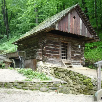 Krosno Countypowiat krośnieński4 trails, 4 sights, 3 craft places
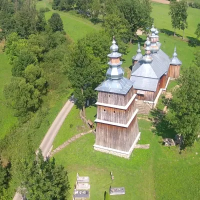 Sanok Countypowiat sanocki6 trails, 4 sights, 2 craft places
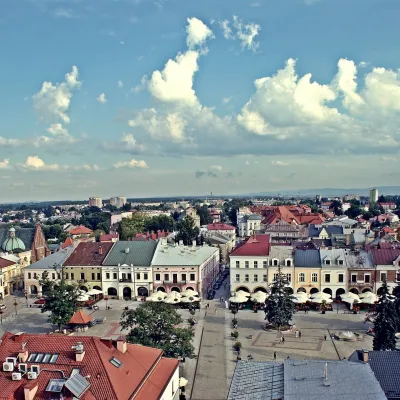 Krosno (city county)Krosno2 sights, 2 craft places, 1 settlement
Getting there from Ukraine
Border crossings
- Krakovets – Korczowa — road, 24/7
- Shehyni – Medyka — road, 24/7 Pedestrian crossing is not confirmed by the Ukrainian border service — check dpsu.gov.ua before the trip.
- Smilnytsia – Krościenko — road, 24/7
- Hrushiv – Budomierz — road, 24/7
- Mostyska – Przemyśl (rail) — rail, 24/7
By car
Lviv – Sanok ≈168 km, ≈3 h 20 min without queues: road to Shehyni → Shehyni – Medyka checkpoint → Przemyśl → DK28 via Bircza to Sanok (≈83 km, ≈1 h 45 min from the border). Alternative via Krakovets – Korczowa: A4 to the Radymno exit, DK77 to Przemyśl and DK28 (≈185 km from Lviv, ≈3 h 25 min). For the Bieszczady proper, Smilnytsia – Krościenko is handier: Lviv – Sambir – Staryi Sambir – border, then DK84 via Ustrzyki Dolne to Sanok (≈203 km, ≈5 h; ≈57 km from the border). From Krościenko to Ustrzyki Górne by DW896 ≈53 km (≈1 h 40 min; ≈200 km and ≈4 h 50 min from Lviv), to Wetlina by DW896 and DW897 ≈69 km (≈216 km and ≈5 h from Lviv). From Sanok: Ustrzyki Górne ≈82 km (DK84 via Lesko, then DW896, ≈1 h 35 min), Wetlina ≈72 km (DK84 to Lesko, DW894 via Baligród and Cisna, DW897, ≈1 h 20 min).
Checked 23.10.2026; border crossing hours and timetables change — check before you travel.
