Krzemień
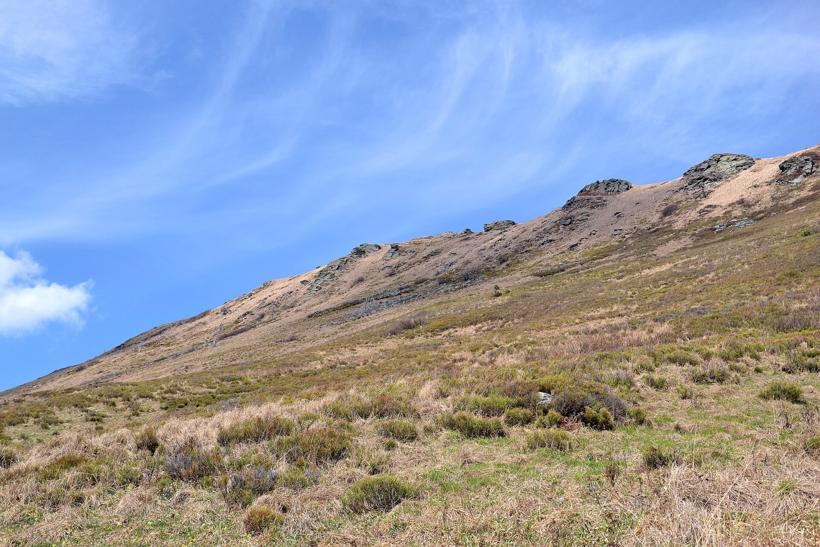
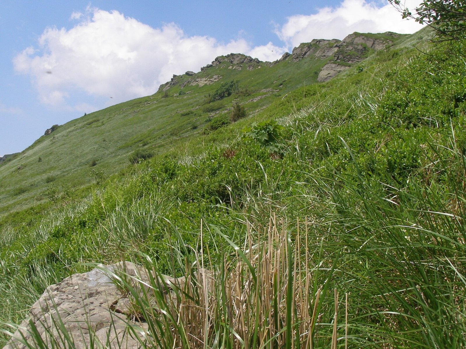
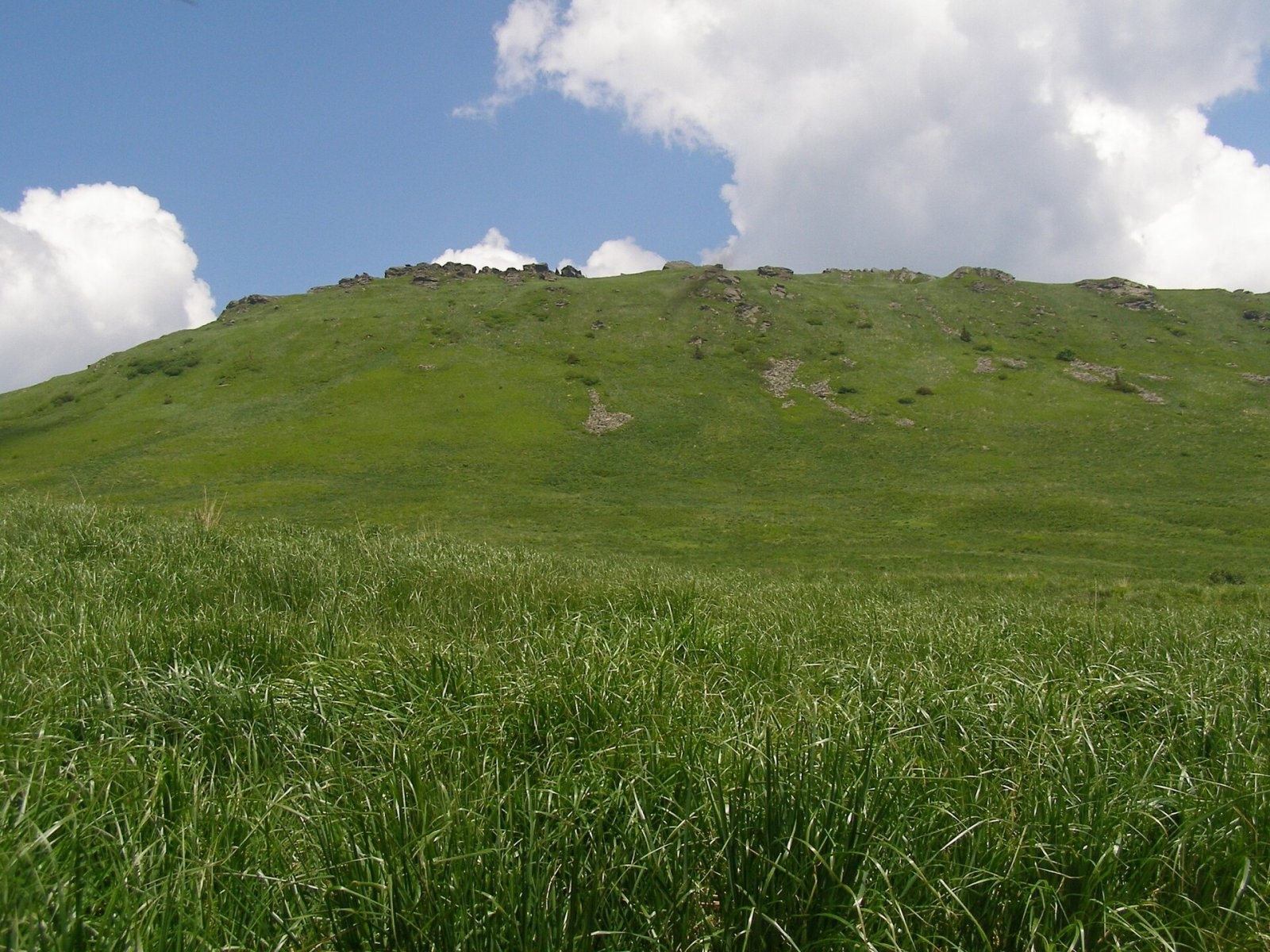
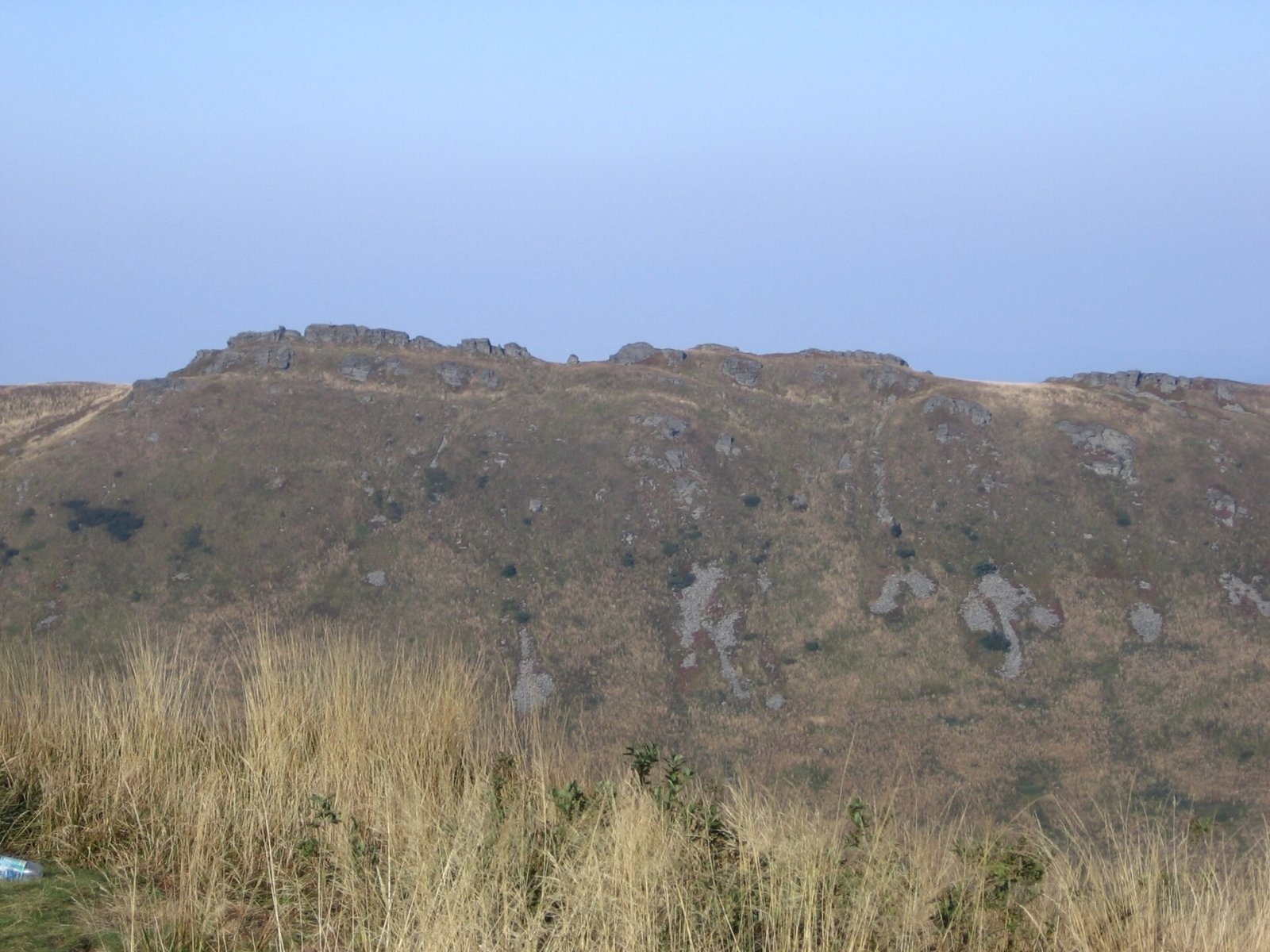
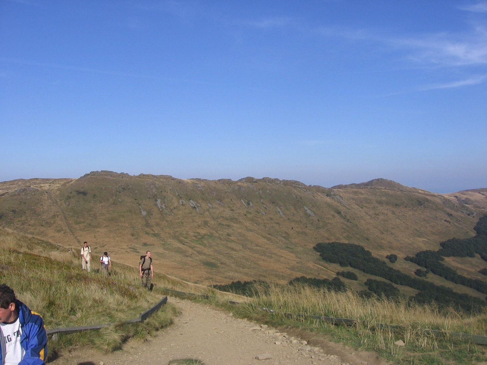
Krzemień is a 1,335 m mountain, the second-highest peak of the Polish Bieszczady and of the whole Western Bieszczady after Tarnica. It lies in the central part of the Tarnica and Halicz group, in the połonina range of Bieszczady National Park. Wołosate and Muczne are both about 4.7–4.8 km away. Krzemień should not be confused with Krzemieniec (Kremenec), the border summit near Wielka Rawka where Poland, Slovakia and Ukraine meet.
The massif is a ridge running from north-west to south-east, studded with rock outcrops that together resemble a comb – hence the name: Austrian cartographers distorted the word for «comb» (Polish grzebień, Ukrainian hreben). To the north-west the ridge fades into the valley of a Terebowiec tributary; to the south-east it continues to Kopa Bukowska (1,320 m). From the highest part a spur runs north-east to Bukowe Berdo (1,311 m), separated by a shallow saddle (1,268 m). To the south-west a ridge leads over the deep Goprowska Pass (1,160 m) to the Tarnica and Szeroki Wierch massif. The south-western slope is very steep by Bieszczady standards; the north-eastern one is gentler and gives rise to the Roztoki stream.
Getting there / trails
The summit itself is closed to visitors under Bieszczady National Park rules. The blue trail (long-distance Biała – Grybów route) passes a few dozen metres away: from Goprowska Pass it climbs straight up, reaches the crest west of the top and continues over a shallow saddle to Bukowe Berdo.
- From Wołosate via the pass below Tarnica – about 2 h 50 min (1 h 35 min down).
- From the pass below Tarnica – about 35 min of steep climbing (20 min down).
- From Pszczeliny via Bukowe Berdo – about 3 h 55 min (3 h 25 min down); from Bukowe Berdo about 25 min.
Until 1987 the red Main Beskid Trail ran along the crest of Krzemień and over the summit. To protect nature it was rerouted and now traverses the south-western slope directly from Goprowska Pass towards Halicz.
The view from the crest
Thanks to its height above the surrounding tops and its treeless meadows, Krzemień is a fine viewpoint. You can see Tarnica with Szeroki Wierch, Połonina Caryńska, Bukowe Berdo, the upper San valley, Halicz with Rozsypaniec, the ranges of the Sanok-Turka Mountains and the Ukrainian Bieszczady.
Nature
Krzemień is known for its interesting flora. Species rare in Poland grow here, including rock sedge, Dacian sedge, the East Carpathian pea and a broomrape that parasitises wild thyme. The fragility of the mountain vegetation is the reason the summit was taken out of tourist use.
Safety, season and rules
The climb from Goprowska Pass is short but steep, and slippery after rain or when icy; in winter the park recommends crampons. The crest is exposed, so do not linger on it during storms or strong wind. Krzemień is not on the state border: the nearest section of the Polish–Ukrainian border lies about 4 km to the south, beyond the Wołosatka valley.
The massif lies within Bieszczady National Park. Under the park rules in force since 14 April 2026, entry to the trails is charged all year: a ticket costs 11 zł (reduced 5.5 zł, children under 7 free), is sold at the pay points by the trailheads or online, and is valid on all park trails on the same day. Walking is allowed on marked trails only and only between sunrise and sunset – night hiking is prohibited. Dogs are not allowed on the trails (except a few short sections, on a lead and muzzled); flying drones and leaving litter are also banned.
The Bieszczady are covered by the Bieszczady Group of the mountain rescue service GOPR (station in Ustrzyki Górne): call 985 or +48 601 100 300, or the general number 112; installing the «Ratunek» app is recommended. In winter the park advises reporting longer planned routes to the GOPR station in Ustrzyki Górne.
Interesting facts
- Krzemień is the second-highest peak not only of the Polish but of the entire Western Bieszczady.
- Despite sounding like the Polish word for «flint», the name actually comes from a cartographers' distortion of «comb».
Photos: Pudelek, CC BY-SA 4.0; Henryk Bielamowicz, CC BY-SA 4.0; Henryk Bielamowicz, CC BY-SA 4.0; PM, Public domain; PM, Public domain; Henryk Bielamowicz, CC BY-SA 4.0 — Wikimedia Commons.
Getting there from Ukraine
Border crossings
- Krakovets – Korczowa — road, 24/7
- Shehyni – Medyka — road, 24/7 Pedestrian crossing is not confirmed by the Ukrainian border service — check dpsu.gov.ua before the trip.
- Smilnytsia – Krościenko — road, 24/7
- Hrushiv – Budomierz — road, 24/7
- Mostyska – Przemyśl (rail) — rail, 24/7
By car
Lviv – Sanok ≈168 km, ≈3 h 20 min without queues: road to Shehyni → Shehyni – Medyka checkpoint → Przemyśl → DK28 via Bircza to Sanok (≈83 km, ≈1 h 45 min from the border). Alternative via Krakovets – Korczowa: A4 to the Radymno exit, DK77 to Przemyśl and DK28 (≈185 km from Lviv, ≈3 h 25 min). For the Bieszczady proper, Smilnytsia – Krościenko is handier: Lviv – Sambir – Staryi Sambir – border, then DK84 via Ustrzyki Dolne to Sanok (≈203 km, ≈5 h; ≈57 km from the border). From Krościenko to Ustrzyki Górne by DW896 ≈53 km (≈1 h 40 min; ≈200 km and ≈4 h 50 min from Lviv), to Wetlina by DW896 and DW897 ≈69 km (≈216 km and ≈5 h from Lviv). From Sanok: Ustrzyki Górne ≈82 km (DK84 via Lesko, then DW896, ≈1 h 35 min), Wetlina ≈72 km (DK84 to Lesko, DW894 via Baligród and Cisna, DW897, ≈1 h 20 min).
Checked 23.10.2026; border crossing hours and timetables change — check before you travel.
Location on the map
Water and shelter nearby
- Spring below Krzemień640 m · Not verified · 1 206 m
- Spring below Tarniczka (north-east slope)860 m · Not verified · 1 197 m
- Spring below Tarniczka (north slope)1 km · Not verified · 1 185 m
Comments
Trails nearby
All trails HardMulti-dayMarkedMain Trail of BeskidyElevation profile309–1 723 m499.9 kmascent 19 519 munder 1 km from Krzemień
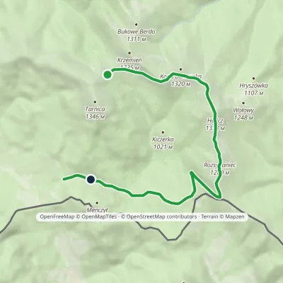 EasyOne-dayMarkedNature Trail Rozsypaniec KrzemieńElevation profile782–1 333 m11.3 kmascent 265 m≈ 3.5 h walkingunder 1 km from Krzemień
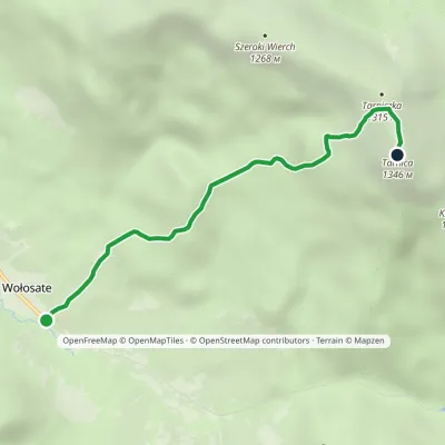 EasyOne-dayMarkedNature and Historical Trail Wołosate TarnicaElevation profile739–1 346 m4.3 kmascent 607 m≈ 2.5 h walking1.3 km from Krzemień
Nearby attractions
 PeakBukowe Berdoaltitude 1 311 munder 1 km from KrzemieńBukowe Berdo is a mountain massif and a summit of 1,311 m in the Western Bieszczady, inside Bieszczady National Park.
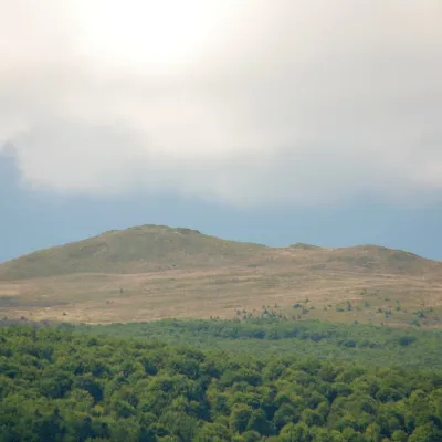 PeakKopa Bukowskaaltitude 1 320 m1.4 km from KrzemieńKopa Bukowska (1,320 m) is a summit in the Western Bieszczady, one of the mountains of the Tarnica and Halicz group in Bieszczady National Park.
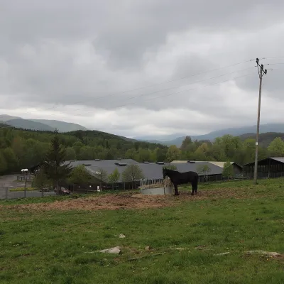 Horse ridingHucul Horse Stud in Wołosate, Bieszczady National Park4.9 km from KrzemieńWołosate is the southernmost inhabited village in Poland, tucked away in the valley of the Wołosatka stream below Tarnica, the highest peak of the Polish Bieszczady.
Craft nearby
All craft places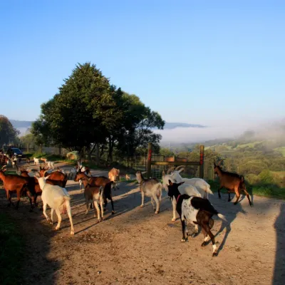 Cheese dairies & pasturesBieszczadzka Koza Goat Cheese Farm, Smolnik14 km from KrzemieńBieszczadzka Koza ("the Bieszczady Goat") is a family goat farm and artisan cheese dairy in the village of Smolnik on the San, in the eastern Polish Bieszczady, right...
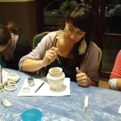 Crafts & workshopsGaleria Barak, Czarna: Bieszczady ceramics and workshops27 km from KrzemieńGaleria Barak in the village of Czarna near Ustrzyki Dolne is the first private art gallery in the Bieszczady, and its story deserves telling.
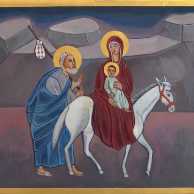 Crafts & workshopsVeraikon Icon Studio, Cisna: Carpathian icons and workshops33 km from KrzemieńThe Veraikon Icon Studio (Pracownia Ikon Veraikon) in Cisna is, in its owners' words, the oldest and largest icon studio in the Bieszczady.
