Muczne
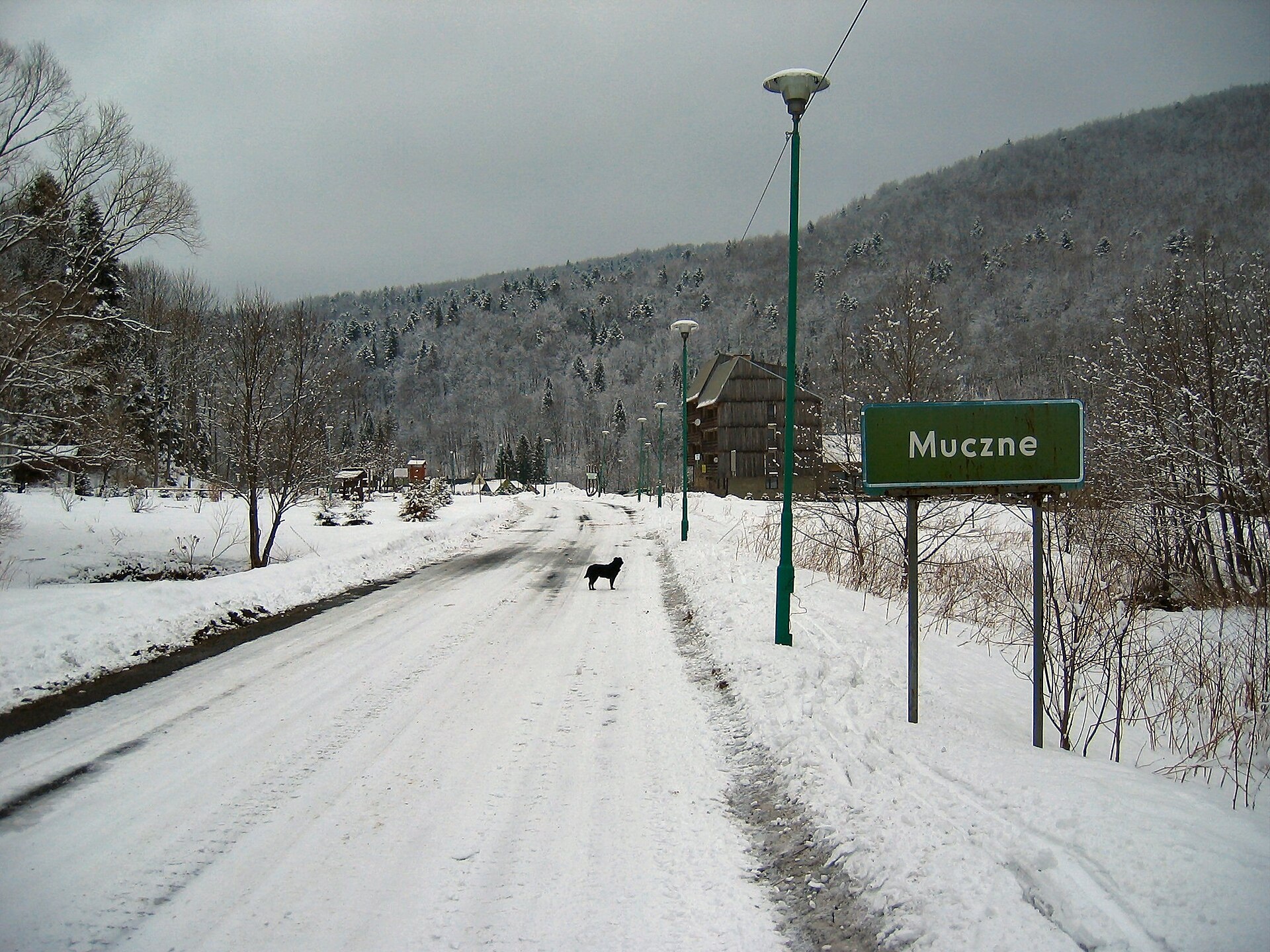
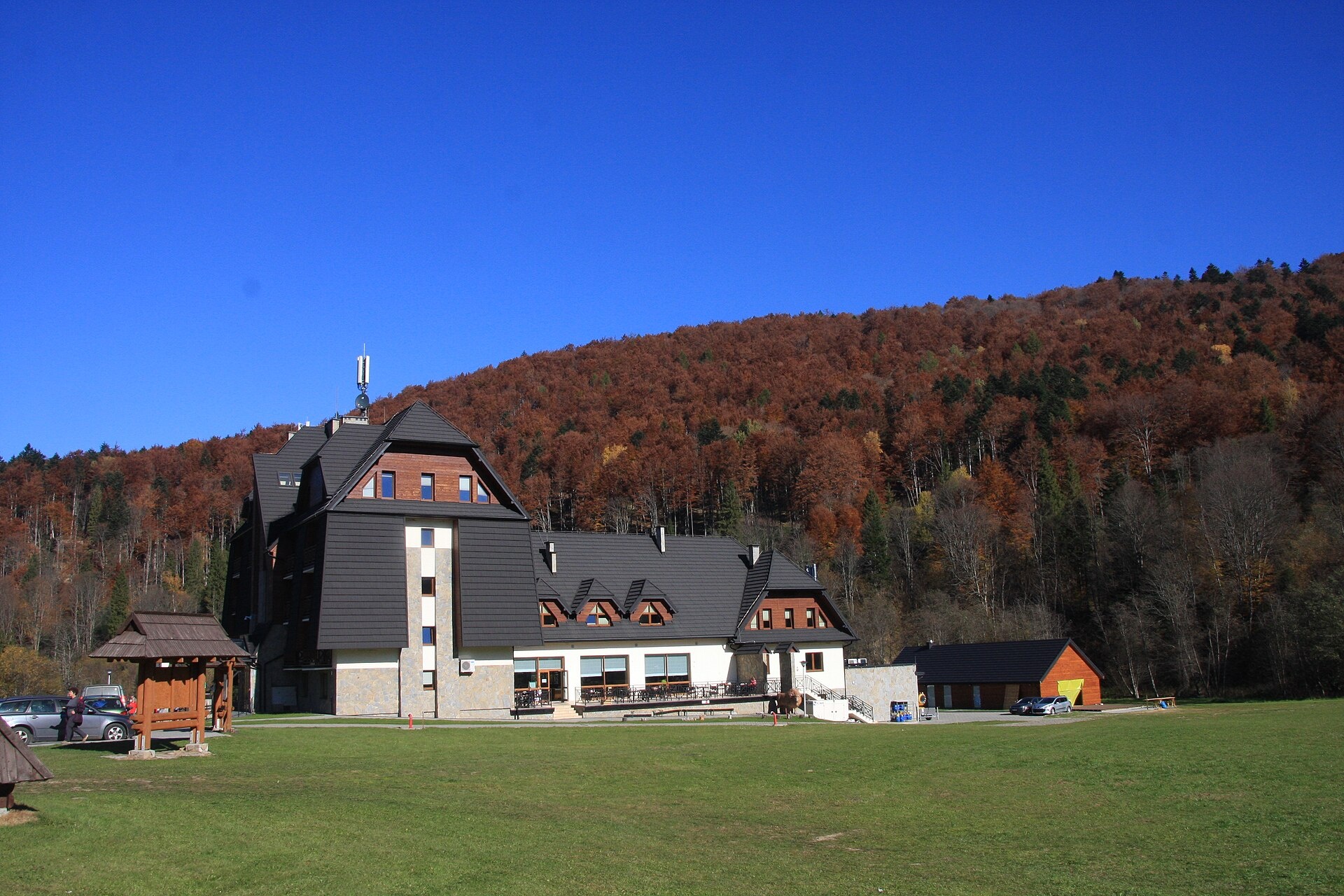
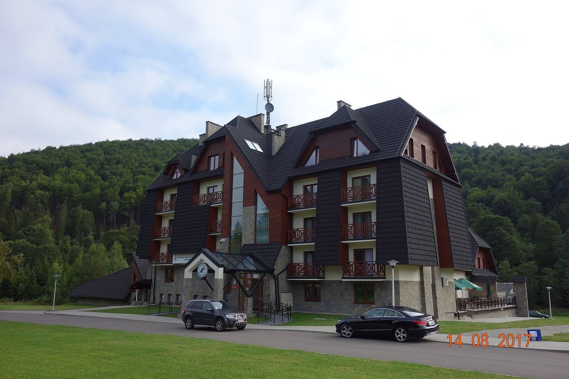
Photos: Alankomaat, CC BY-SA 3.0 (Wikimedia Commons); Dominikq13, CC BY-SA 4.0 (Wikimedia Commons); Piotr Golonka, CC BY-SA 4.0 (Wikimedia Commons)
Muczne is a village in Poland.
Population: 40. Mountains nearby: Bieszczady.
Here and nearby on the site: 1 trail, 2 peaks.
Facts: Wikidata, OpenStreetMap. More on Wikipedia
Trails nearby
All trails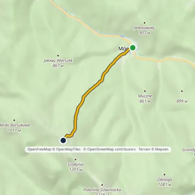 EasyOne-dayMarkedMuczne Bukowe BerdoElevation profile718–1 152 m3.2 kmascent 434 m≈ 1.5 h walkingunder 1 km from the centre
 HardMulti-dayMarkedMain Trail of BeskidyElevation profile309–1 723 m499.9 kmascent 19 519 m5.2 km from the centre
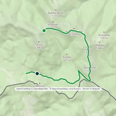 EasyOne-dayMarkedNature Trail Rozsypaniec KrzemieńElevation profile782–1 333 m11.3 kmascent 265 m≈ 3.5 h walking5.2 km from the centre
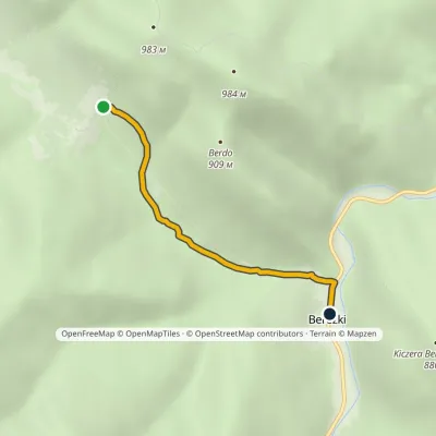 EasyOne-dayMarkedBereżki Przysłop Caryński PassElevation profile606–811 m2.8 kmascent 5 m≈ 45 min walking5.6 km from the centre
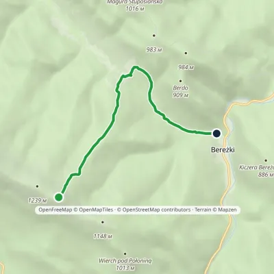 EasyOne-dayMarkedNature trail «Common Beech» on Połonina Caryńska (variant B)Elevation profile616–1 230 m5.5 kmascent 21 m≈ 1.5 h walking5.8 km from the centre
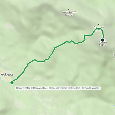 EasyOne-dayMarkedNature and Historical Trail Wołosate TarnicaElevation profile739–1 346 m4.3 kmascent 607 m≈ 2.5 h walking5.9 km from the centre
Peaks nearby
All peaks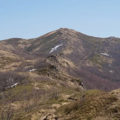 PeakBukowe BerdoMucznealtitude 1 311 m4.1 km from the centreBukowe Berdo is a mountain massif and a summit of 1,311 m in the Western Bieszczady, inside Bieszczady National Park.
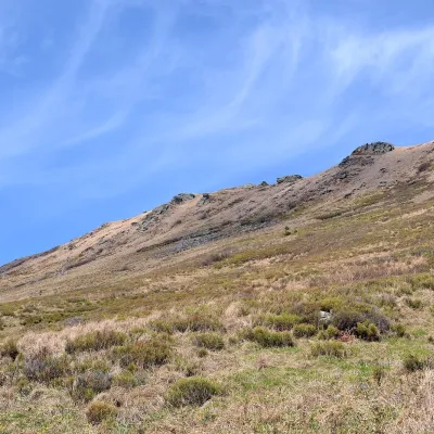 PeakKrzemieńWołosatealtitude 1 335 m4.8 km from the centreKrzemień is a 1,335 m mountain, the second-highest peak of the Polish Bieszczady and of the whole Western Bieszczady after Tarnica.
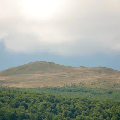 PeakKopa BukowskaMucznealtitude 1 320 m5.3 km from the centreKopa Bukowska (1,320 m) is a summit in the Western Bieszczady, one of the mountains of the Tarnica and Halicz group in Bieszczady National Park.
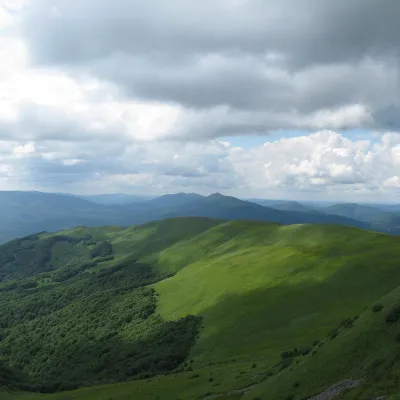 PeakSzeroki WierchWołosatealtitude 1 268 m5.6 km from the centreSzeroki Wierch («Broad Top») is a mountain massif in the połonina range of the Western Bieszczady, the western wing of the Tarnica group in Bieszczady National Park.
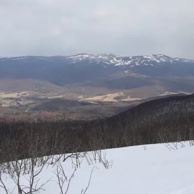 PeakTarnicaWołosatealtitude 1 346 m · Volcanic Carpathians range6.2 km from the centreTarnica is the highest peak of the Polish Bieszczady and of the whole Subcarpathian Voivodeship, rising to 1,346 m.
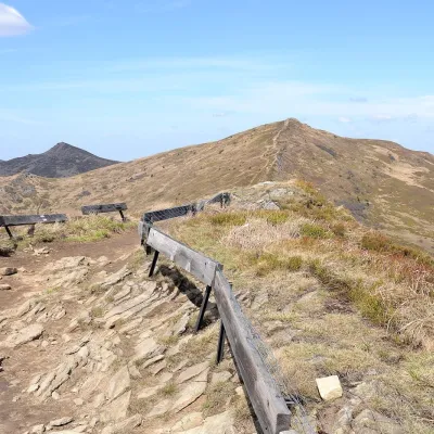 PeakHaliczWołosatealtitude 1 333 m6.6 km from the centreHalicz is a 1,333 m peak, the third-highest in the Polish Bieszczady and in the whole Western Bieszczady.
What to visit
All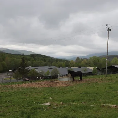 Horse ridingHucul Horse Stud in Wołosate, Bieszczady National ParkWołosate8.3 km from the centreWołosate is the southernmost inhabited village in Poland, tucked away in the valley of the Wołosatka stream below Tarnica, the highest peak of the Polish Bieszczady.
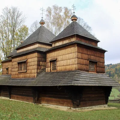 ChurchChurch of St Michael the Archangel in SmolnikSmolnik9.8 km from the centreThe Church of St Michael the Archangel in Smolnik is a wooden church in the San valley in the east of the Polish Bieszczady; since 2013 it has been part of the UNESCO...
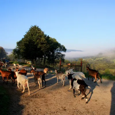 Cheese dairies & pasturesBieszczadzka Koza Goat Cheese Farm, SmolnikSmolnik9.9 km from the centreBieszczadzka Koza ("the Bieszczady Goat") is a family goat farm and artisan cheese dairy in the village of Smolnik on the San, in the eastern Polish Bieszczady, right...
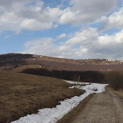 Mountain meadowPołonina CaryńskaBrzegi Górnealtitude 1 297 m10 km from the centrePołonina Caryńska (also called Berehowska) is a mountain massif and alpine meadow in the Western Bieszczady, between the valleys of the Prowcza and the Wołosaty, where...
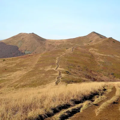 Mountain meadowPołonina WetlińskaBrzegi Górnealtitude 1 228 m14 km from the centrePołonina Wetlińska is a mountain massif and alpine meadow in the Polish part of the Western Bieszczady and one of the most visited places in these mountains.
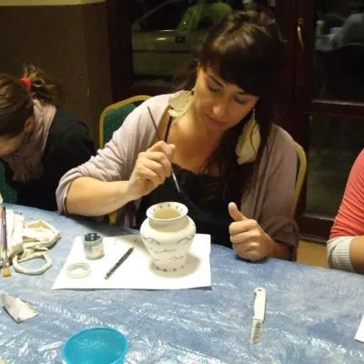 Crafts & workshopsGaleria Barak, Czarna: Bieszczady ceramics and workshopsCzarna Górna22 km from the centreGaleria Barak in the village of Czarna near Ustrzyki Dolne is the first private art gallery in the Bieszczady, and its story deserves telling.
Huts, shelters and springs nearby
Getting there from Ukraine
Border crossings
- Krakovets – Korczowa — road, 24/7
- Shehyni – Medyka — road, 24/7 Pedestrian crossing is not confirmed by the Ukrainian border service — check dpsu.gov.ua before the trip.
- Smilnytsia – Krościenko — road, 24/7
- Hrushiv – Budomierz — road, 24/7
- Mostyska – Przemyśl (rail) — rail, 24/7
By car
Lviv – Sanok ≈168 km, ≈3 h 20 min without queues: road to Shehyni → Shehyni – Medyka checkpoint → Przemyśl → DK28 via Bircza to Sanok (≈83 km, ≈1 h 45 min from the border). Alternative via Krakovets – Korczowa: A4 to the Radymno exit, DK77 to Przemyśl and DK28 (≈185 km from Lviv, ≈3 h 25 min). For the Bieszczady proper, Smilnytsia – Krościenko is handier: Lviv – Sambir – Staryi Sambir – border, then DK84 via Ustrzyki Dolne to Sanok (≈203 km, ≈5 h; ≈57 km from the border). From Krościenko to Ustrzyki Górne by DW896 ≈53 km (≈1 h 40 min; ≈200 km and ≈4 h 50 min from Lviv), to Wetlina by DW896 and DW897 ≈69 km (≈216 km and ≈5 h from Lviv). From Sanok: Ustrzyki Górne ≈82 km (DK84 via Lesko, then DW896, ≈1 h 35 min), Wetlina ≈72 km (DK84 to Lesko, DW894 via Baligród and Cisna, DW897, ≈1 h 20 min).
Checked 23.10.2026; border crossing hours and timetables change — check before you travel.
