Starina Reservoir in Poloniny National Park
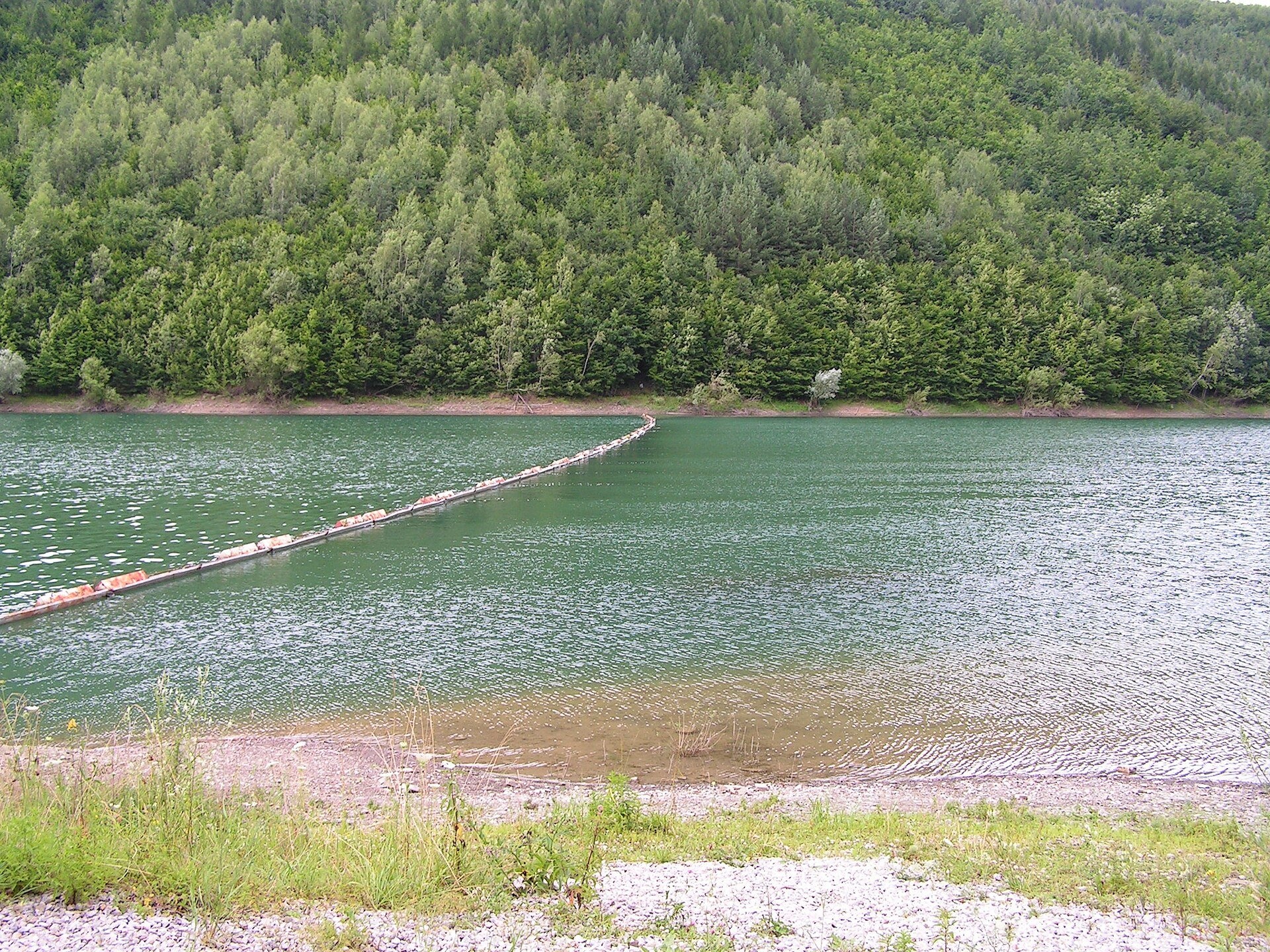
A lake with a village beneath it
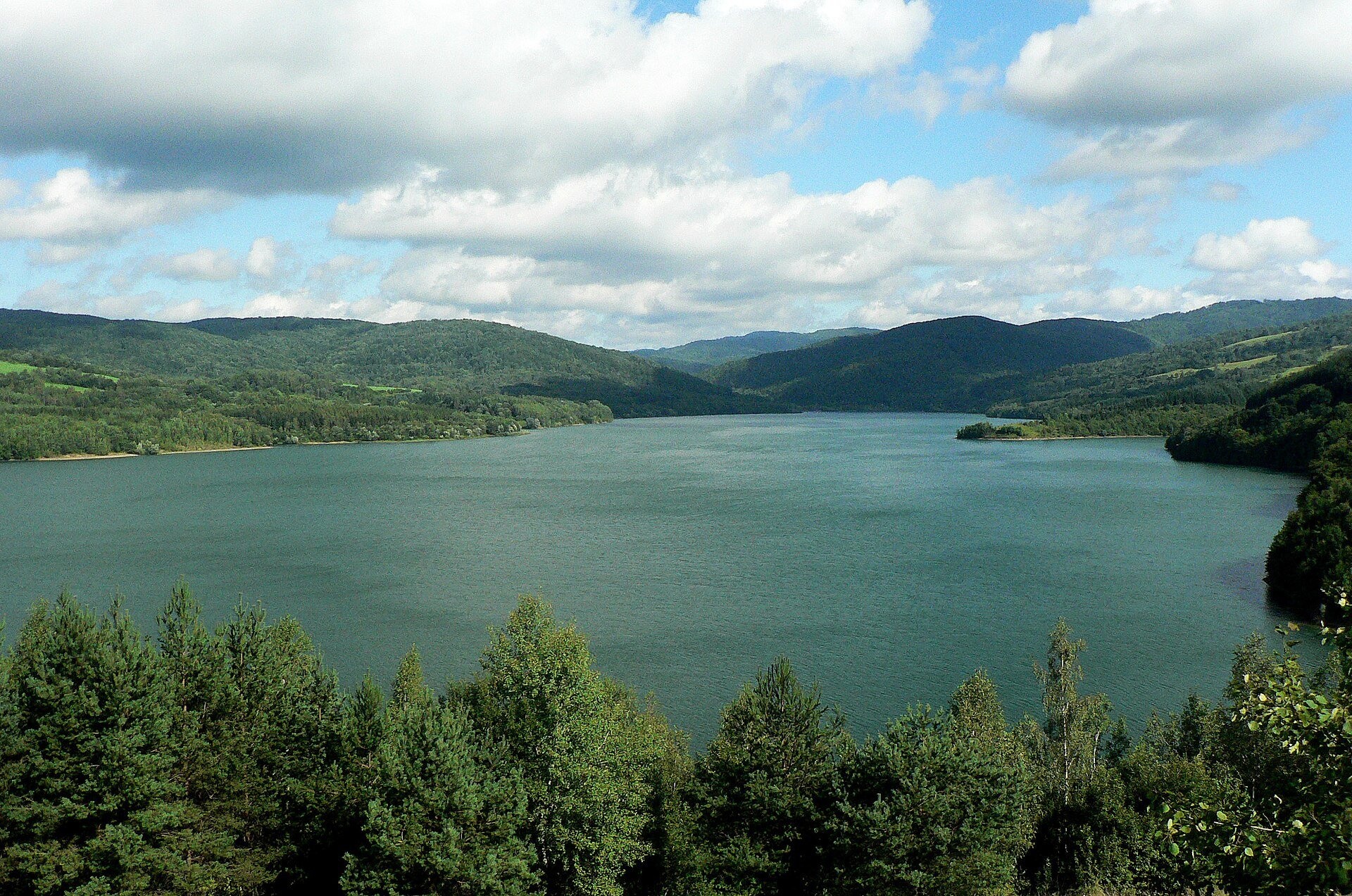
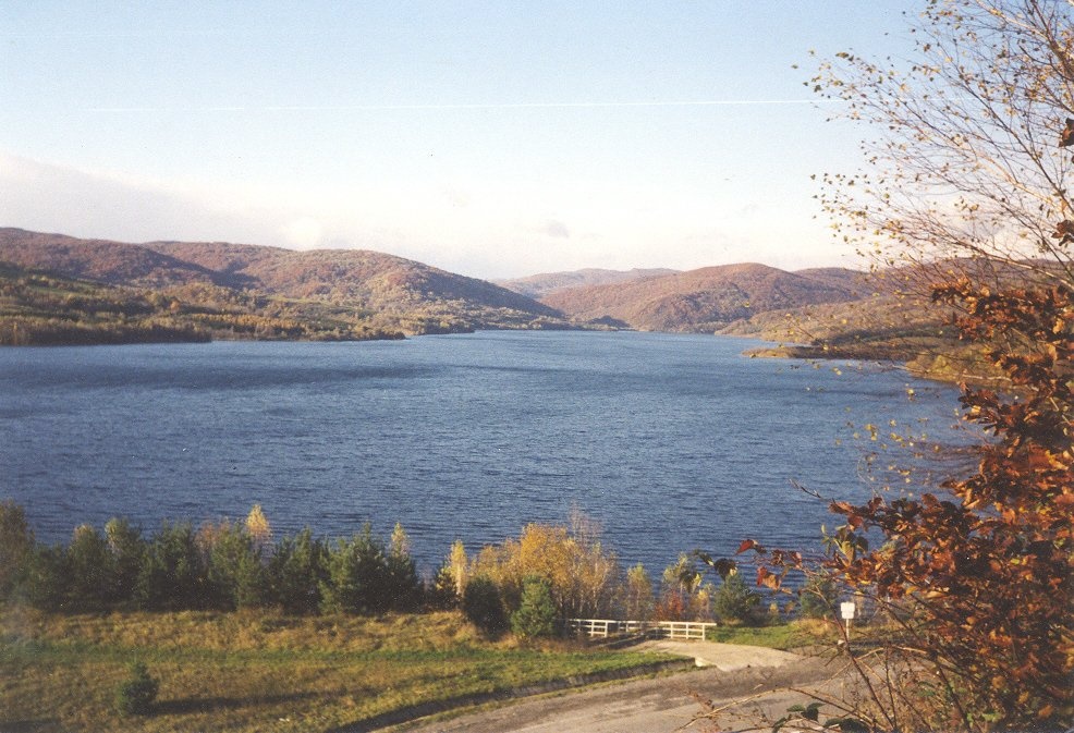
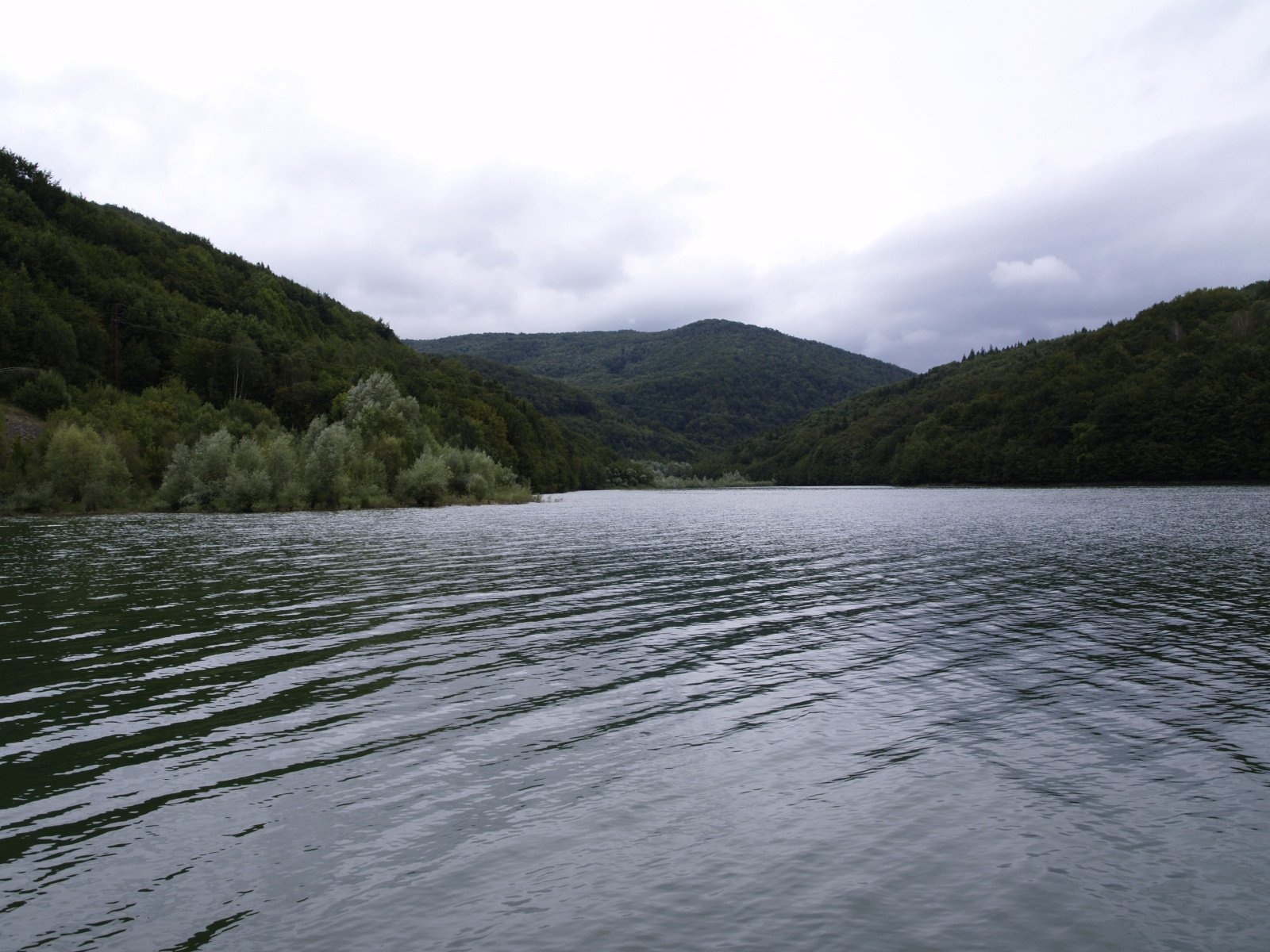
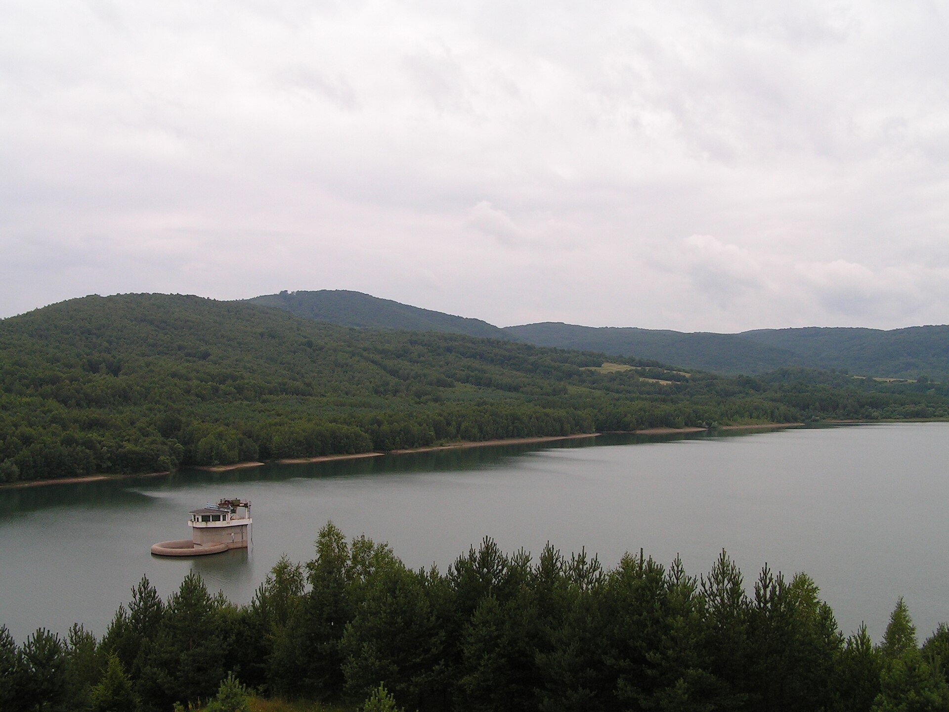
Starina is the largest drinking-water reservoir in Slovakia and, according to Slovak sources, the largest source of drinking water in Central Europe. It lies at the very east of the country, in north-eastern Zemplín, in the cadastre of Stakčín in the Snina district. The dam was built on the upper Cirocha river in the Bukovské vrchy hills, inside Poloniny National Park, in 1981–1988 to supply eastern Slovakia, above all Prešov and Košice, with water.
The reservoir holds 59.8 million m³ and covers 311 ha; the dam is 50 m high and 345 m long. Behind its beauty lies a dramatic story: from 1980, to create a protection zone for the source, the inhabitants of seven Rusyn villages were moved out — Starina, Veľká Poľana, Zvala, Smolník, Dara, Ostružnica and Ruské. The village of Starina itself now lies under the water.
What to see
- Views of the water and forests. The shores are covered by beech forests of the Bukovské vrchy; access to the water itself is restricted, but you can admire the reservoir from viewpoints and the hiking routes around it.
- Traces of the vanished villages. Ostružnica left a First World War cemetery and the ruins of an 1806 church, Smolník a war cemetery. In Veľká Poľana one house survives, along with a rotunda memorial in the war cemetery, ruins of a 1784 church and a wayside cross of 1885. In Dara stands a small masonry Orthodox church of 1956, and in Zvala a chapel on the site of the old church. Near Ruské are a war cemetery, a chapel and the old stone road Porta Rusica, a technical monument.
- The Poloniny Trail cycle route. The asphalt “Zubor” section, 14.3 km long, runs from the Beskydy Pantheon along the reservoir to the former village of Ruské (about 290 m of ascent, easy, suitable even for bikes with child trailers). Stronger riders can continue up to Ruské sedlo on the Polish border.
Practical information
The nearest towns are Snina and Stakčín; from there a road along the Cirocha leads to the reservoir by car or bike (the Poloniny Trail starts in Snina). The reservoir and its surroundings are strictly protected as a first-degree water-source protection zone, so public access is limited. Swimming is forbidden, as is polluting the area; on open paths the rule is to pass through without stopping. In 2024 the reservoir’s operator, the Slovak Water Management Enterprise, put up prohibition signs on an 800-metre section of the cycle route and required cyclists to register at the gatehouse at the entrance to the protection zone — check the current rules before you go (as of October 2026 we found no updated official information).
Poloniny National Park is open all year. Forests cover 80% of it, including UNESCO-listed primeval beech forests, and a small herd of European bison was brought here in 2004 and numbered about 25 animals in 2016; bison from Poland also wander across. Poloniny is also known for the darkest night sky in Central Europe — the stars here are visible as in few other places.
Nearby
In Ruská Bystrá stands a UNESCO-listed wooden church. To the north-west are Krásny Brod Monastery and the Andy Warhol museum in Medzilaborce, and to the south Zemplínska šírava and the Morské oko lake in the Vihorlat.
Official website: presovregion.travel
Photos: Twips, CC BY-SA 3.0, Wikimedia Commons; Wikimedia Commons, CC BY-SA 3.0, Wikimedia Commons; Michal Kriška, CC BY-SA 3.0, Wikimedia Commons; Slovcoiner, CC BY-SA 4.0, Wikimedia Commons.
Getting there from Ukraine
Border crossings
- Uzhhorod – Vyšné Nemecké — road, 24/7
- Malyi Bereznyi – Ubľa — road, 24/7 For cars and buses; pedestrians not confirmed by the Ukrainian border service, lorries up to 3.5 t.
- Mali Selmentsi – Veľké Slemence (pedestrian) — pedestrian, 09:00–21:00 Kyiv time Pedestrians and cyclists only; inconvenient for the Tatras without onward transport.
- Chop – Čierna nad Tisou (rail) — rail, 24/7
By car
Lviv – Snina ≈241 km, ≈4 h 20 min without queues: H-13 via Sambir and the Uzhok Pass to Velykyi and Malyi Bereznyi → Malyi Bereznyi – Ubľa checkpoint → road 74 to Snina (≈27 km, ≈30 min from the border). From Uzhhorod: via Vyšné Nemecké (I/19 towards Sobrance, then II/566 and road 74) ≈65 km, ≈1 h 15 min; via Malyi Bereznyi – Ubľa ≈80 km, ≈1 h 40 min, but that crossing is usually less busy.
Checked 23.10.2026; border crossing hours and timetables change — check before you travel.
Location on the map
Comments
Trails nearby
All trails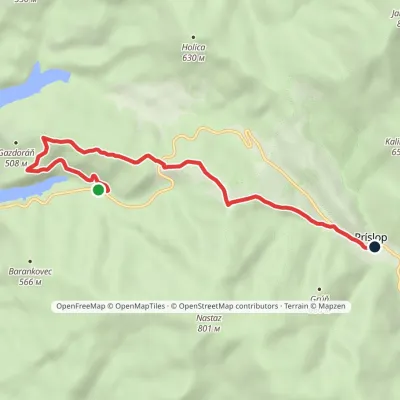 EasyOne-dayMarkedPríslop Nad Brezoveckou zátokouElevation profile381–642 m7.1 kmascent 286 m≈ 2.5 h walking1.1 km from Starina Reservoir in Poloniny National Park
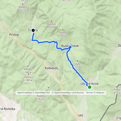 ModerateOne-dayMarkedUličské Krivé TopoľaElevation profile279–663 m12.4 kmascent 503 m≈ 4 h walking7.3 km from Starina Reservoir in Poloniny National Park
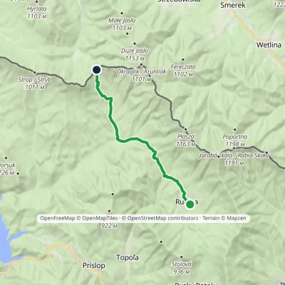 ModerateOne-dayMarkedRunina Ruské sedloElevation profile467–798 m12.2 kmascent 468 m≈ 4 h walking8.6 km from Starina Reservoir in Poloniny National Park
Nearby attractions
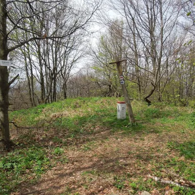 PeakCzerenin (Černiny)altitude 929 m11 km from Starina Reservoir in Poloniny National ParkCzerenin (also Czeremin; Slovak: Černiny) is a 929 m mountain in the border (watershed) range of the Western Bieszczady, on the Polish–Slovak border.
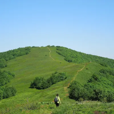 Mountain meadowĎurkovec and Pľaša meadowsaltitude 1 189 m · Gorgany range13 km from Starina Reservoir in Poloniny National ParkThe Ďurkovec meadows are the finest mountain grasslands of the Slovak Poloniny: grassy slopes covering the border ridge of the Bukovské vrchy between Pľaša (1,162.8 m)...
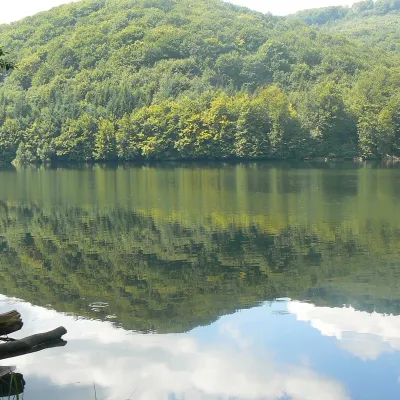 LakeMorské oko — the largest lake of the Vihorlat hills16 km from Starina Reservoir in Poloniny National ParkNot to be confused with its Tatra namesake: this is Morské oko in the Vihorlat hills of eastern Slovakia, a few dozen kilometres from the Ukrainian border.
Craft nearby
All craft places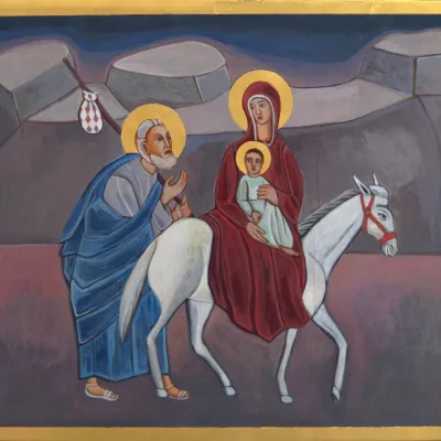 Crafts & workshopsVeraikon Icon Studio, Cisna: Carpathian icons and workshops18 km from Starina Reservoir in Poloniny National ParkThe Veraikon Icon Studio (Pracownia Ikon Veraikon) in Cisna is, in its owners' words, the oldest and largest icon studio in the Bieszczady.
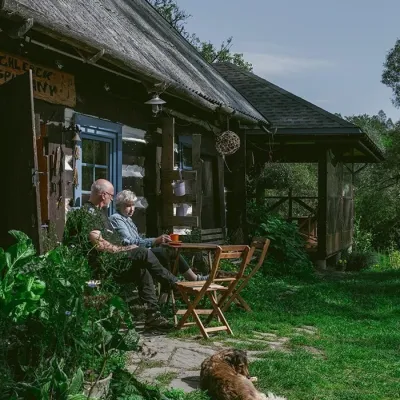 Craft producersBieszczadzkie Smaki, Smolnik: bread, liqueurs, preserves24 km from Starina Reservoir in Poloniny National ParkBieszczadzkie Smaki (“Bieszczady Flavours”) is a family producer of natural foods in the village of Smolnik on the Osława river, Komańcza municipality, on the western...
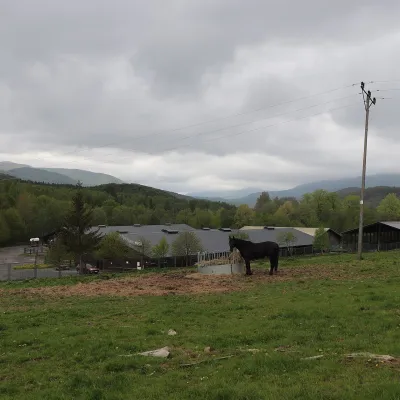 Horse ridingHucul Horse Stud in Wołosate, Bieszczady National Park31 km from Starina Reservoir in Poloniny National ParkWołosate is the southernmost inhabited village in Poland, tucked away in the valley of the Wołosatka stream below Tarnica, the highest peak of the Polish Bieszczady.
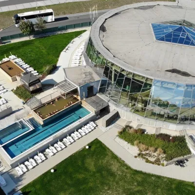 Water parks & thermal poolsThermalpark Šírava in Kaluža, Zemplínska Šírava34 km from Starina Reservoir in Poloniny National ParkThermalpark Šírava (Thermalpark ŠÍRAVA) stands in the village of Kaluža on the northern shore of the Zemplínska Šírava — a large reservoir in eastern Slovakia.
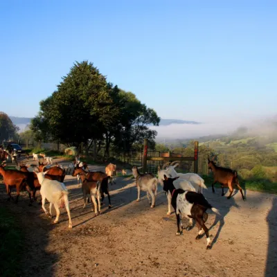 Cheese dairies & pasturesBieszczadzka Koza Goat Cheese Farm, Smolnik36 km from Starina Reservoir in Poloniny National ParkBieszczadzka Koza ("the Bieszczady Goat") is a family goat farm and artisan cheese dairy in the village of Smolnik on the San, in the eastern Polish Bieszczady, right...
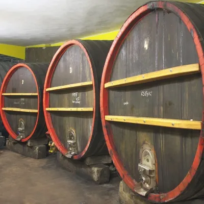 Wine & tastingsPivnica Orechová below Vihorlat: tastings in a deep wine cellar40 km from Starina Reservoir in Poloniny National ParkVihorlat is a volcanic range in eastern Slovakia, best known for the Morské oko lake and its beech primeval forests.
