Zemplínska šírava — the “Slovak Sea” below the Vihorlat
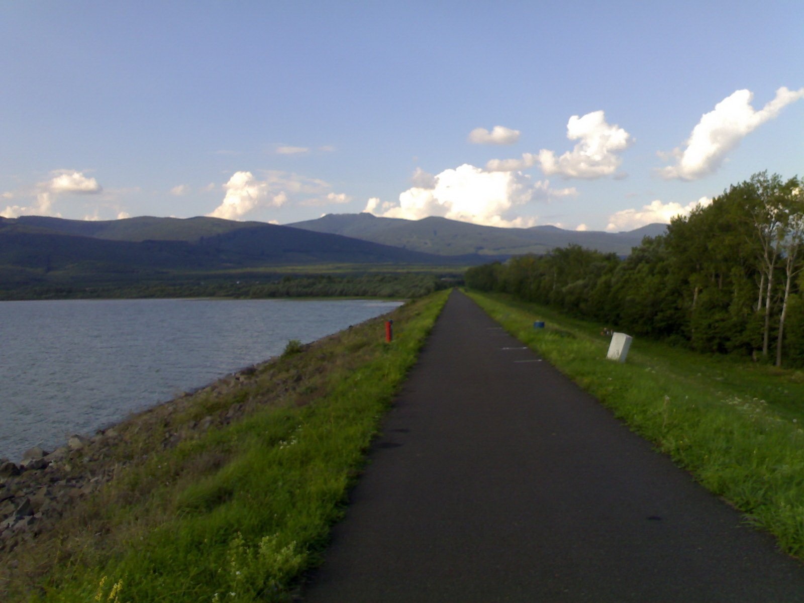
The “Slovak Sea” by the Ukrainian border
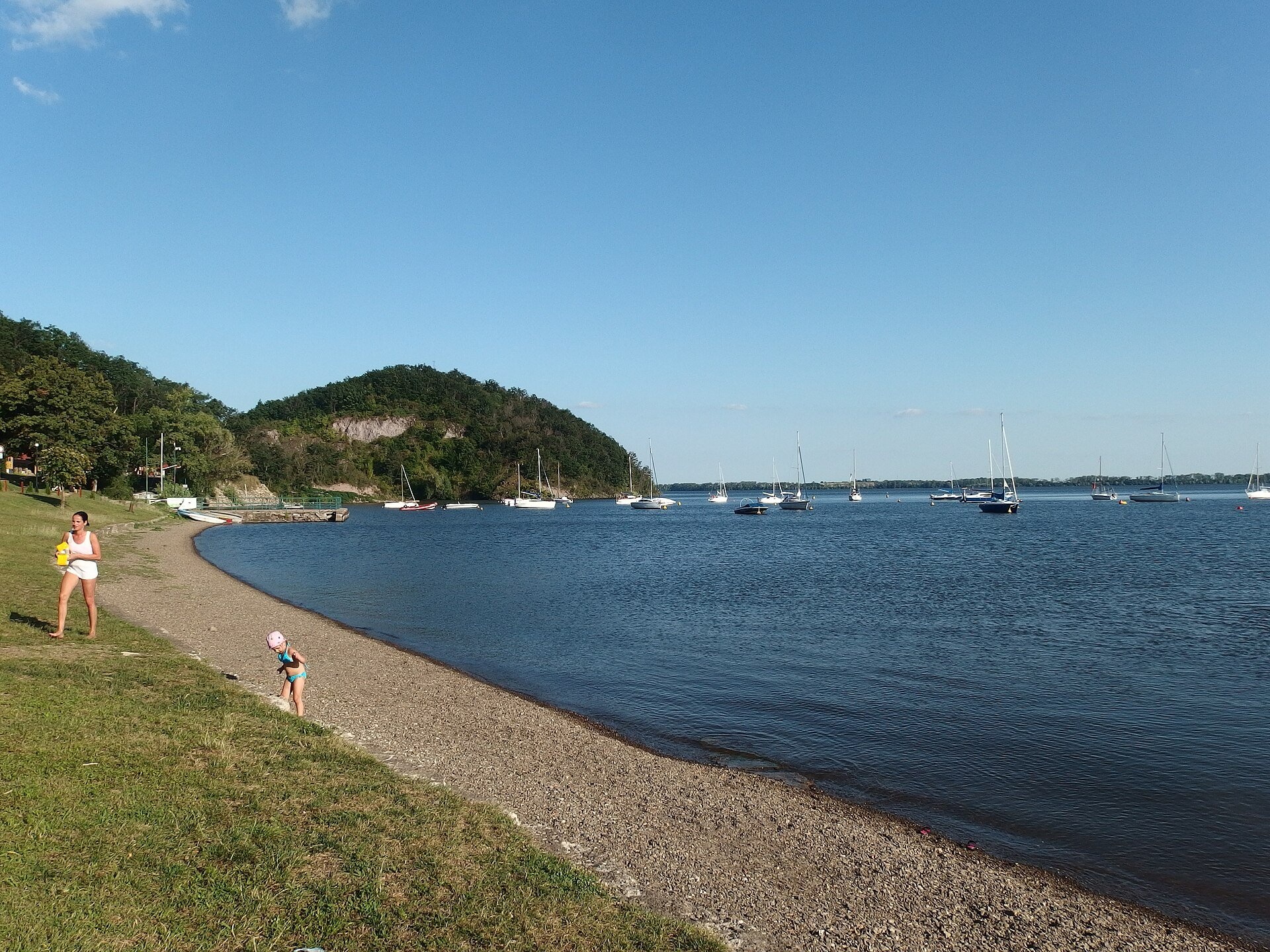
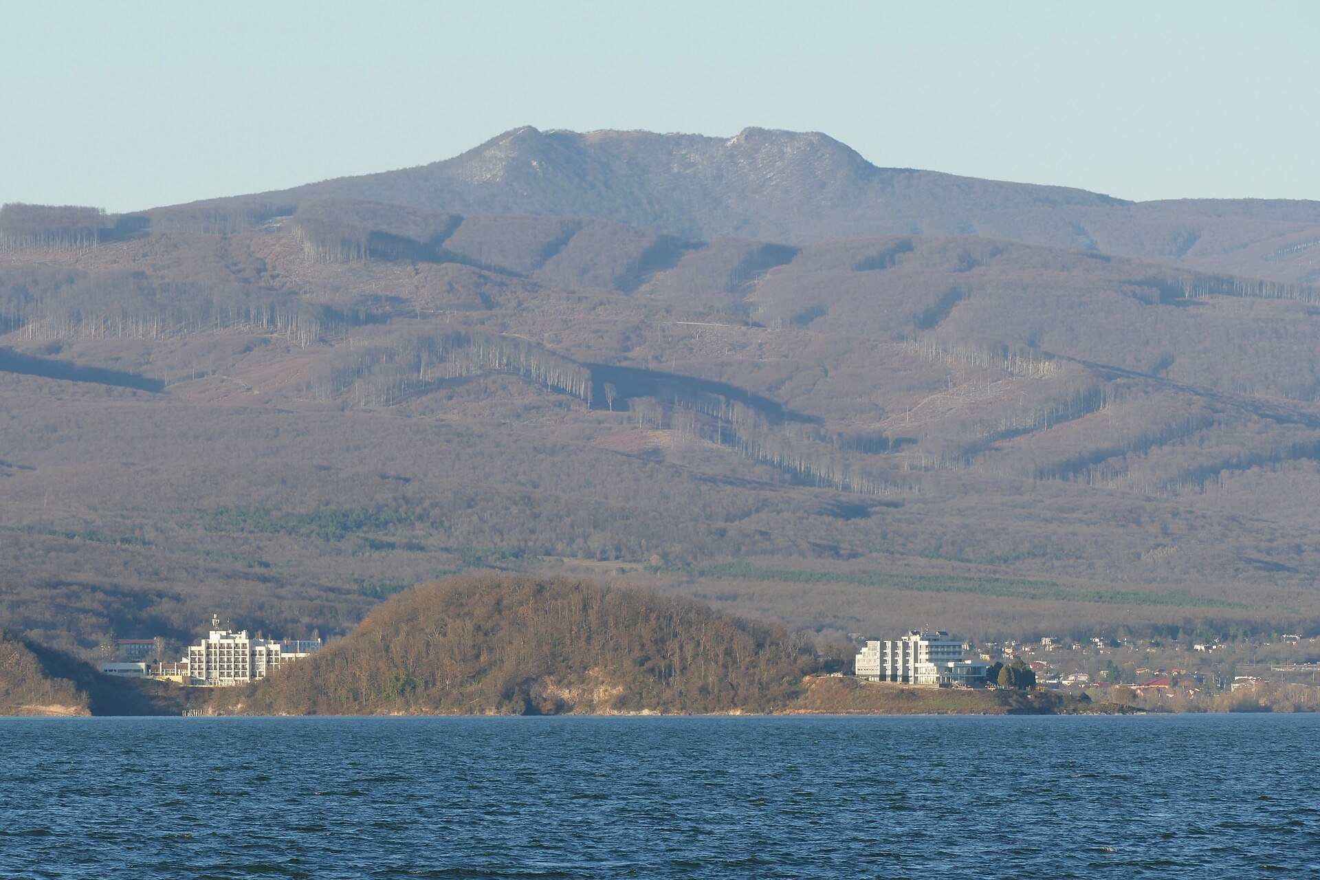
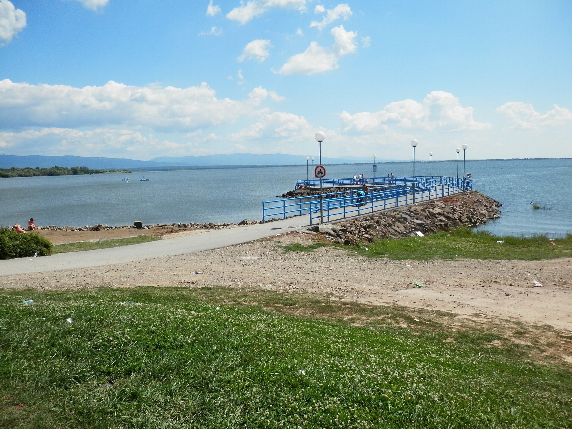
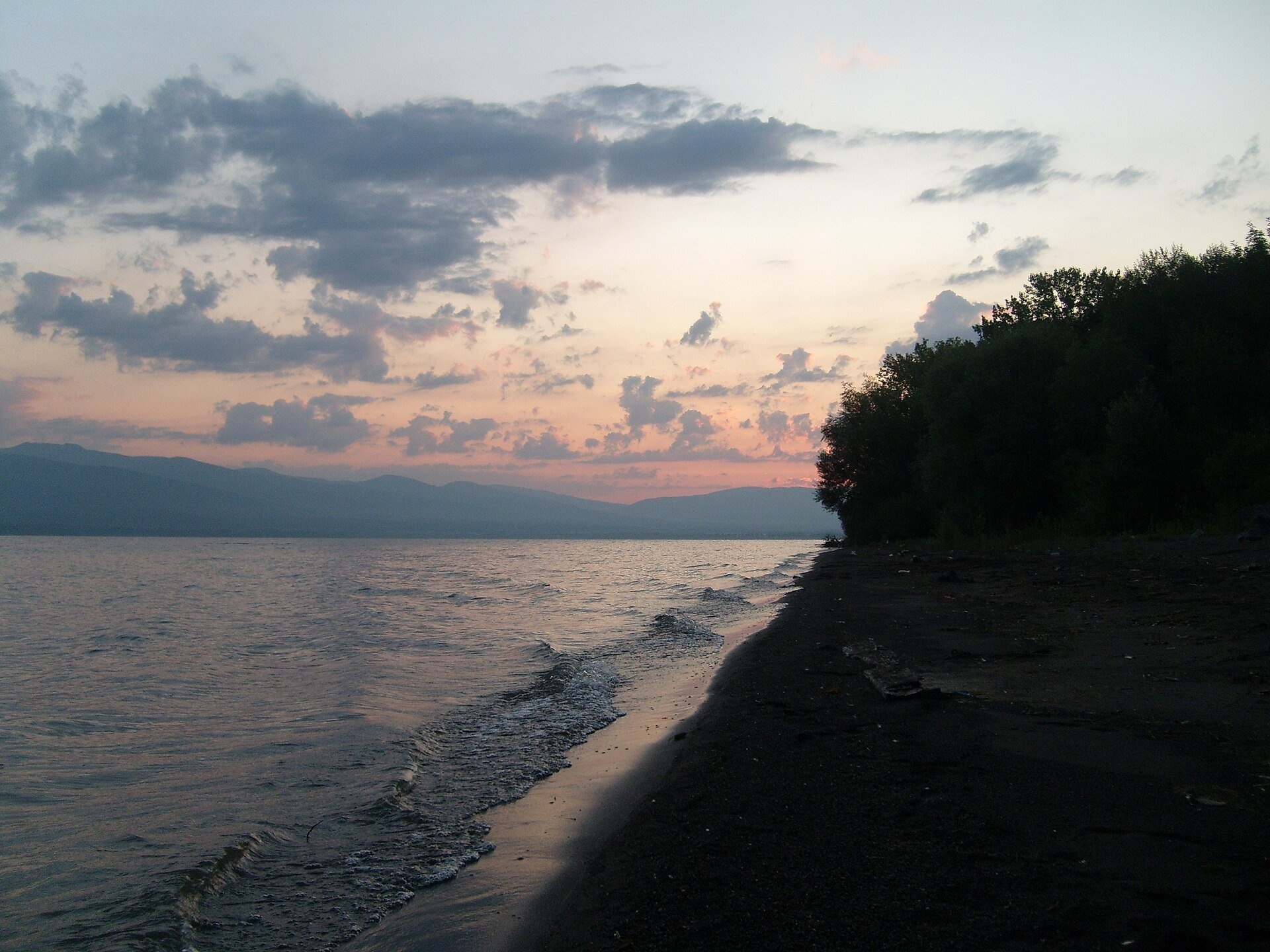
Zemplínska šírava is a large reservoir in eastern Slovakia, in the Bodrog basin below the Vihorlat hills. It is often called the “Slovak Sea”. It is the country’s second-largest body of water by area: 33 km² of water, up to 11 km long and 3.5 km wide, with an average depth of 3.5 m and a maximum of 14.7 m. The reservoir begins about 3 km north-east of Michalovce, and Uzhhorod is about 35 km away according to the Ukrainian Wikipedia.
Šírava was built in 1961–1965 for flood protection and to irrigate the East Slovak Lowland; it is fed by the Laborec via the Šírava canal. No villages stood on the site, but in 1939 the German Luftwaffe set up a field airfield between today’s Hôrka and Medvedia hora, used for attacks on Poland at the start of the Second World War. Recreation was at first considered secondary, yet by 1968 over half a million holidaymakers came, and by the late 1970s over a million. After 1989 many resorts declined because of water pollution from the chemical plant in Strážske and changes of ownership. Since then water quality has improved, and the resorts are gradually reviving.
What to see and do
- Seven resorts on the shore: Biela hora (closest to Michalovce), Hôrka, Medvedia hora on a volcanic peninsula, Kaluža, Kamenec, Klokočov and Paľkov. Kaluža, Klokočov and Paľkov have summer pools, and Kaluža an aquapark opened in 2014 and open all year.
- Water and sun. About 2,200 hours of sunshine a year make this one of the warmest corners of Slovakia. Sailing, pedalos and fishing are popular; in summer sightseeing boats leave from Hôrka, and every August since 2001 an international motorcycle rally gathers here.
- A bird reserve. The eastern part between Kusín, Hnojné and Jovsa is overgrown with reeds; since 1968 a 622-ha protected area has been here, with 149 bird forms recorded, 37 of them rare.
- Walking routes. From Hôrka, Medvedia hora and Kamenec marked trails lead to the Vinné lake (about 45–50 min) and the ruins of Vinné Castle (from 1 h 15 min). The Vihorlat hills with Morské oko lake and the summit of Vihorlat (1,075.5 m) are close by.
Practical information
From Michalovce the II/582 road runs along the north shore, linking all the resorts and the villages of Vinné, Kaluža, Klokočov, Kusín and Jovsa with the town of Sobrance. Further south runs the I/19 road Michalovce — Sobrance, the main link with Ukraine. It is an easy weekend trip from Uzhhorod via the Vyšné Nemecké — Uzhhorod border crossing.
Take care in the water: according to the Slovak Wikipedia, there is no lifeguard service on Šírava, and swimming is at your own risk. Strong wind from the Vihorlat can quickly raise high waves: on 22 August 1992, nine people drowned in a storm between Kamenec and Kaluža. Before swimming, check the current water-quality assessment from the regional public health authority in Michalovce.
Nearby
To the north, in the Vihorlat, is Morské oko, the largest lake of the Vihorlat hills. Further north are the Starina reservoir in Poloniny NP and the wooden church in Ruská Bystrá.
Photos: Palickap, CC BY-SA 4.0, Wikimedia Commons; Milan Bališin, CC BY-SA 4.0, Wikimedia Commons; Ing.Mgr.Jozef Kotulič, CC BY-SA 4.0, Wikimedia Commons; Eduard Hubner junior, CC BY 3.0, Wikimedia Commons; jaronizner, CC BY 3.0, Wikimedia Commons; Twips, CC BY-SA 3.0, Wikimedia Commons.
Getting there from Ukraine
Border crossings
- Uzhhorod – Vyšné Nemecké — road, 24/7
- Malyi Bereznyi – Ubľa — road, 24/7 For cars and buses; pedestrians not confirmed by the Ukrainian border service, lorries up to 3.5 t.
- Mali Selmentsi – Veľké Slemence (pedestrian) — pedestrian, 09:00–21:00 Kyiv time Pedestrians and cyclists only; inconvenient for the Tatras without onward transport.
- Chop – Čierna nad Tisou (rail) — rail, 24/7
By car
Lviv – Snina ≈241 km, ≈4 h 20 min without queues: H-13 via Sambir and the Uzhok Pass to Velykyi and Malyi Bereznyi → Malyi Bereznyi – Ubľa checkpoint → road 74 to Snina (≈27 km, ≈30 min from the border). From Uzhhorod: via Vyšné Nemecké (I/19 towards Sobrance, then II/566 and road 74) ≈65 km, ≈1 h 15 min; via Malyi Bereznyi – Ubľa ≈80 km, ≈1 h 40 min, but that crossing is usually less busy.
Checked 23.10.2026; border crossing hours and timetables change — check before you travel.
Location on the map
Comments
Trails nearby
All trails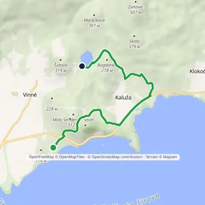 EasyOne-dayMarkedVinianske jazero HôrkaElevation profile117–258 m7.2 kmascent 246 m≈ 2.5 h walkingunder 1 km from Zemplínska šírava — the “Slovak Sea” below the Vihorlat
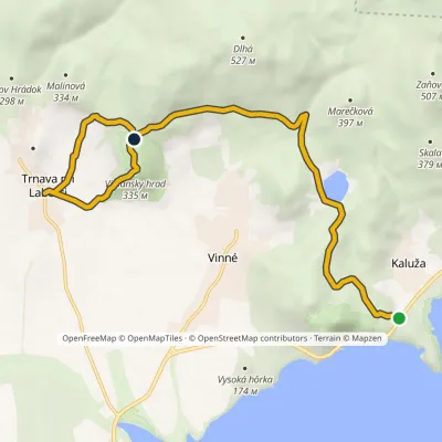 ModerateOne-dayMarkedMedvedia hora Trnava pri LaborciElevation profile131–335 m10.7 kmascent 375 m≈ 3.5 h walkingunder 1 km from Zemplínska šírava — the “Slovak Sea” below the Vihorlat
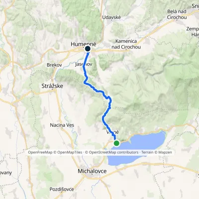 ModerateTwo-dayMarkedHumenné, mesto HôrkaElevation profile134–469 m21.5 kmascent 573 m≈ 6.5 h walking2.4 km from Zemplínska šírava — the “Slovak Sea” below the Vihorlat
Nearby attractions
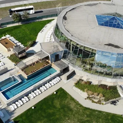 Water parks & thermal poolsThermalpark Šírava in Kaluža, Zemplínska ŠíravaKalužaunder 1 km from Zemplínska šírava — the “Slovak Sea” below the VihorlatThermalpark Šírava (Thermalpark ŠÍRAVA) stands in the village of Kaluža on the northern shore of the Zemplínska Šírava — a large reservoir in eastern Slovakia.
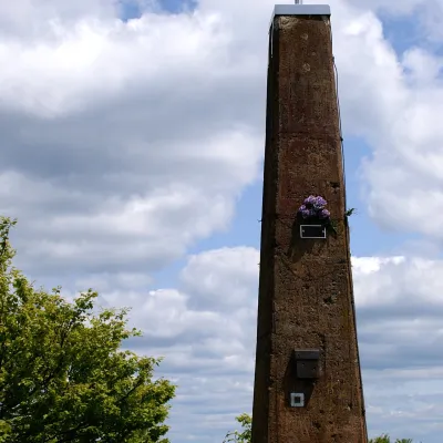 PeakVihorlatValaškovcealtitude 1 076 m · Volcanic Carpathians range13 km from Zemplínska šírava — the “Slovak Sea” below the VihorlatVihorlat (Polish Wyhorlat) is the highest peak of the Vihorlat Mountains in eastern Slovakia, 1,076 m high (precisely 1,075.5 m).
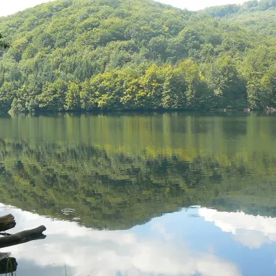 LakeMorské oko — the largest lake of the Vihorlat hillsZemplínske Hámre19 km from Zemplínska šírava — the “Slovak Sea” below the VihorlatNot to be confused with its Tatra namesake: this is Morské oko in the Vihorlat hills of eastern Slovakia, a few dozen kilometres from the Ukrainian border.
Craft nearby
All craft places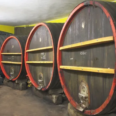 Wine & tastingsPivnica Orechová below Vihorlat: tastings in a deep wine cellarOrechová19 km from Zemplínska šírava — the “Slovak Sea” below the VihorlatVihorlat is a volcanic range in eastern Slovakia, best known for the Morské oko lake and its beech primeval forests.
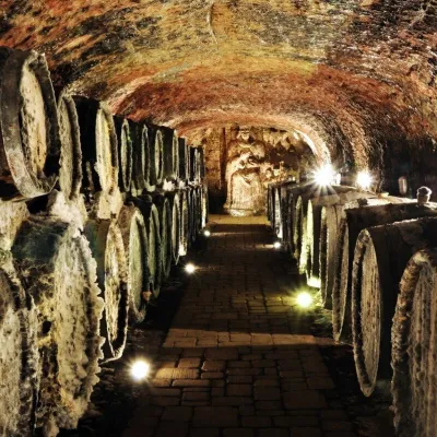 Wine & tastingsJ&J Ostrožovič Winery, Veľká Tŕňa: Tokaj tasting 13 m undergroundVeľká Tŕňa44 km from Zemplínska šírava — the “Slovak Sea” below the VihorlatFew people realise that Tokaj is not only a Hungarian wine. A small part of the historic Tokaj wine region lies in Slovakia: seven villages on the southern slopes of...
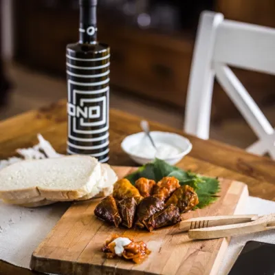 Wine & tastingsTokaj Macik Winery, Malá Tŕňa: organic Tokaj and cellar tastingsVeľká Tŕňa45 km from Zemplínska šírava — the “Slovak Sea” below the VihorlatMalá Tŕňa is the heart of Slovak Tokaj: its Medzipivničná ("Between-the-Cellars") Street runs along the stone portals of old cellars.
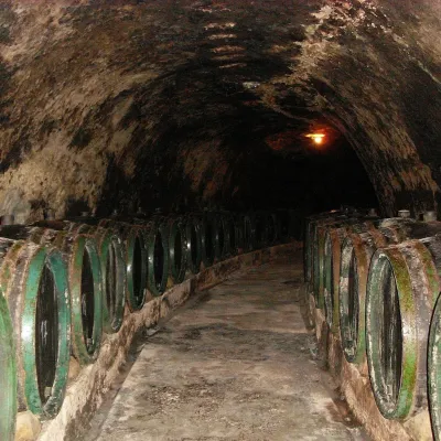 Wine & tastingsTokaj & CO, Malá Tŕňa: tasting in a 2.5 km historic cellarMalá Tŕňa45 km from Zemplínska šírava — the “Slovak Sea” below the VihorlatMalá Tŕňa is the heart of the Slovak part of the Tokaj wine region, and its wines have their place in history: the village coat of arms shows a man holding a golden...
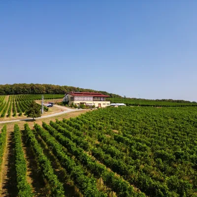 Wine & tastingsMEA GRATI Winery, Ladmovce: tastings amid Tokaj vineyardsLadmovce45 km from Zemplínska šírava — the “Slovak Sea” below the VihorlatA winery on the border of two wine lands On the hills between the villages of Ladmovce and Viničky, above the Bodrog valley, two Slovak wine regions meet: Tokaj and...
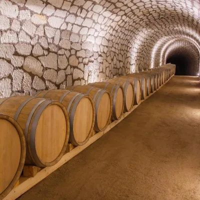 Wine & tastingsChateau Grand Bari, Veľká Bara: Tokaj tuff cellars and tastingsBara47 km from Zemplínska šírava — the “Slovak Sea” below the VihorlatAbove its Veľká Bara quarter, on a terraced slope, stands Chateau Grand Bari — a winery built with elements of Italian architecture.
