Morské oko — the largest lake of the Vihorlat hills
The other Morské oko
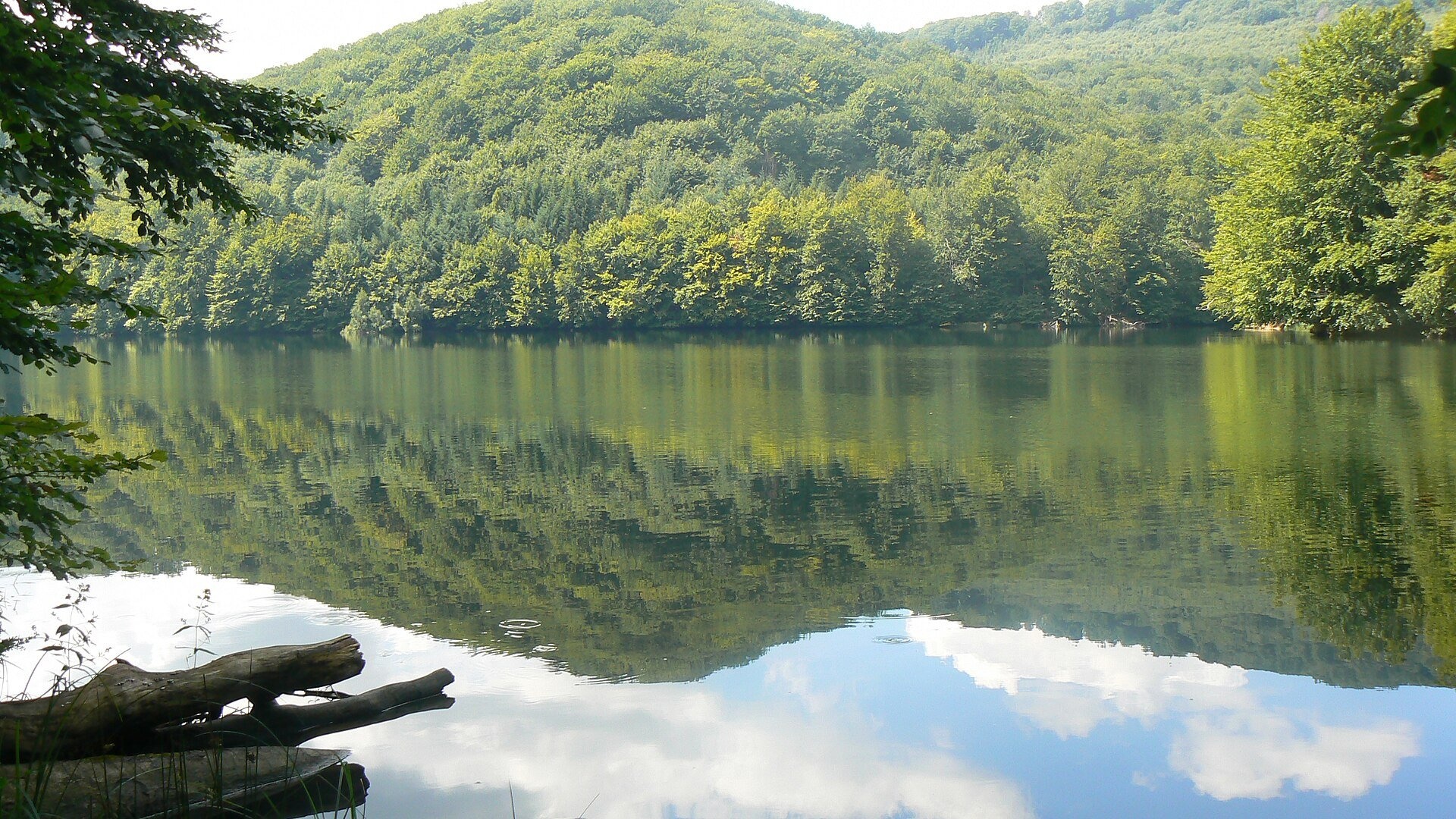
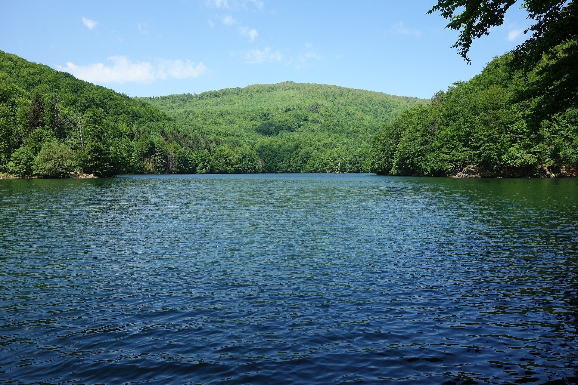
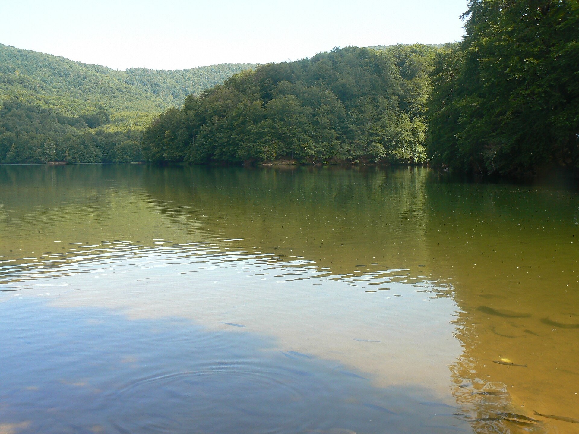
Not to be confused with its Tatra namesake: this is Morské oko in the Vihorlat hills of eastern Slovakia, a few dozen kilometres from the Ukrainian border. It was once called the Great Vihorlat Lake. It is the largest lake of the Vihorlat and the third-largest natural lake in Slovakia after Štrbské pleso and Veľké Hincovo pleso in the Tatras. It lies at 618 m below the rocky summit of Sninský kameň (1,006 m), in the cadastres of Remetské Hámre and Vyšná Rybnica.
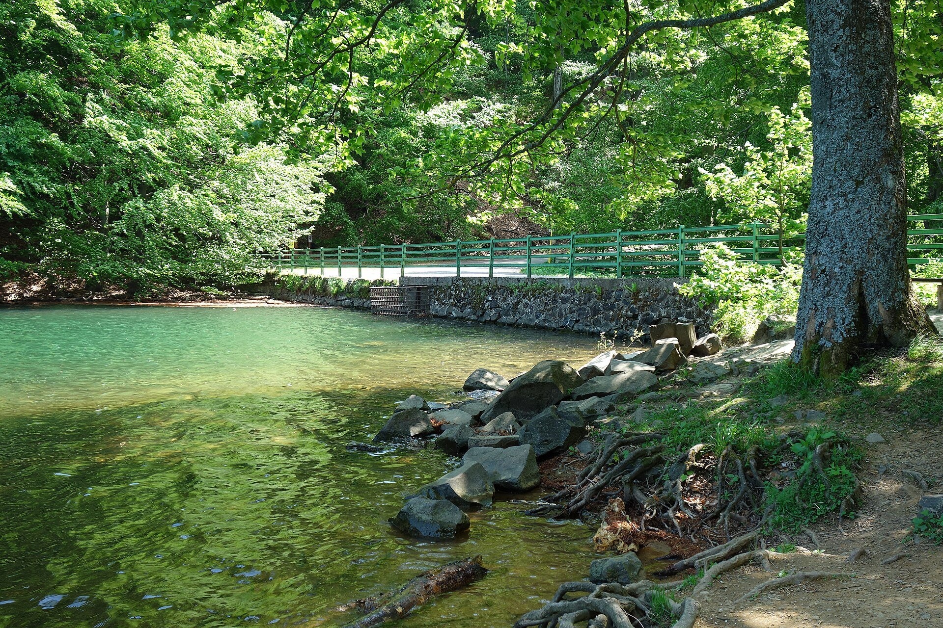
The lake formed as the Vihorlat’s volcanic activity was dying down: a massive landslide from the slopes of Motrogon and Jedlinka blocked the valley of the Okna stream, and water collected behind the natural barrier. It took its present form in the 1880s, when an artificial dam raised the level by 5 m: the area grew from about 7 to 13.8 ha. The lake is 750 m long and 312 m wide, with a maximum depth of 25.1 m. It is fed by six permanent springs. A 1784 map marks it as the “Muddy Lake”, the name Morské oko (Oculus Marinus) first appears on a 1792 map of Ung County, and the official name Great Vihorlat Lake was adopted in 1933.
Since 1984 the lake and the surrounding forests have been a reserve, today a 108-ha national nature reserve with the highest, fifth level of protection. It lies in the Vihorlat Protected Landscape Area and in the buffer zone of the Vihorlat primeval forest, inscribed on the UNESCO World Heritage List in 2007 among the Carpathian primeval beech forests.
What to see and do
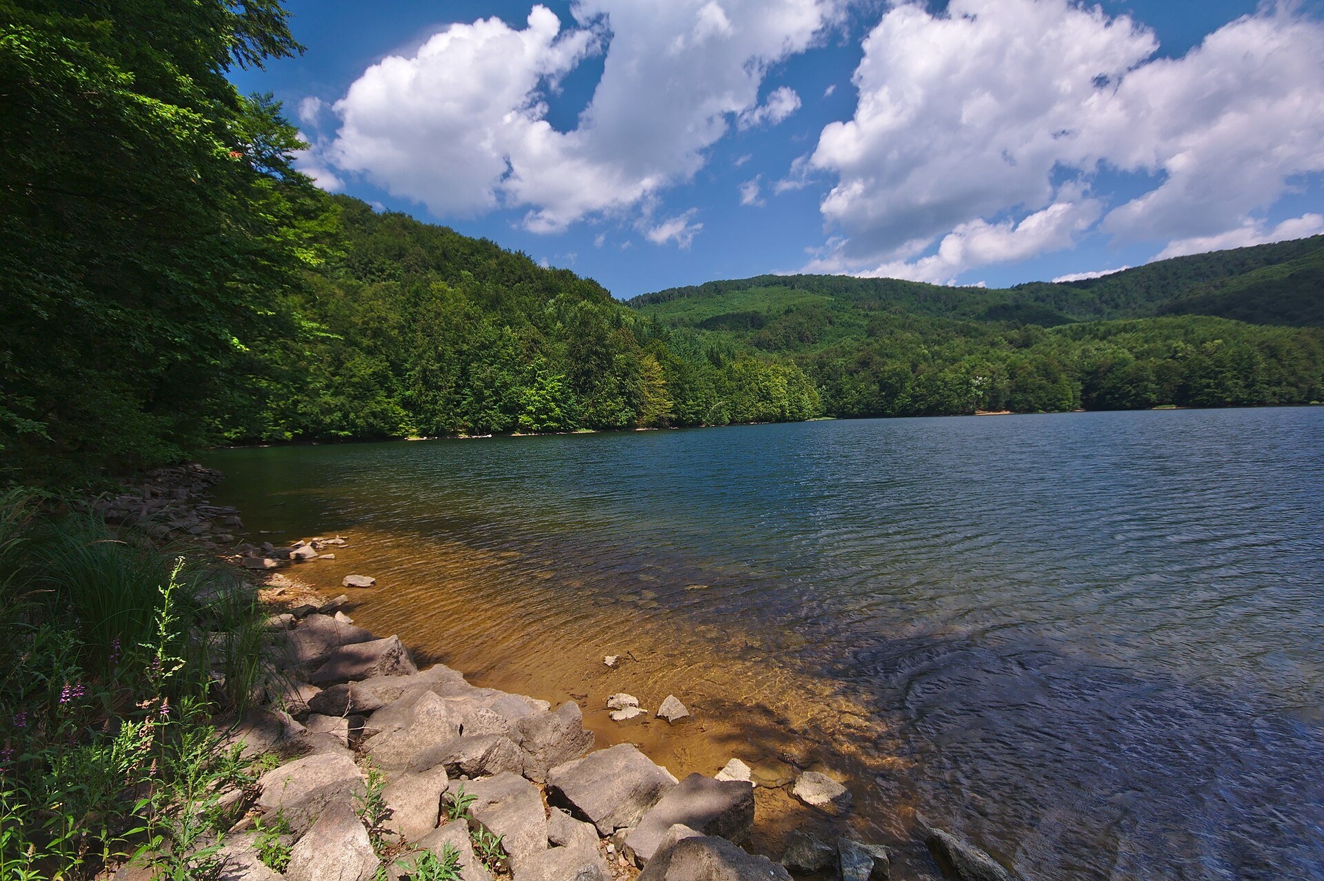
- A walk along the shore. The western and northern shores are gentle, with fine sand; the eastern shore is steep and rocky. An information centre of the reserve operates by the lake.
- Sninský kameň. From the lake a blue-marked trail climbs to the Sninský kameň rock in about 1 h 35 min — from there you see Morské oko from above. The educational trail “Morské oko — Sninský kameň — Sninské rybníky” follows this route too.
- Malé Morské oko at 727 m — about 30 minutes on the yellow trail.
- Tourism history. The first tourist shelters in Slovakia outside the High Tatras were built in 1880 by the Beskydy section of the Hungarian Carpathian Society from Uzhhorod — by Morské oko and below Sninský kameň.
Practical information
The shortest way is from the Krivec car park (562 m) below the lake: just 15 minutes on the blue trail, a walk suitable even for families with small children. On foot from Remetské Hámre on the green trail it takes about 2 h 35 min, and from Zemplínske Hámre via the Tri tably saddle about 1 h 45 min. We recommend checking car access conditions to Krivec before you go. According to the Vihorlat PLA administration, in summer 2026 (15 June — 15 September) 21,105 visitors were counted at the lake, 1,286 of them cyclists.
Fishing, swimming and boating are forbidden in the reserve; stay on the paths and take your litter home. Entry is free.
Nearby
To the south is Zemplínska šírava, the “Slovak Sea” with its beaches. To the north are the Starina reservoir in Poloniny NP and the UNESCO-listed wooden church in Ruská Bystrá.
Official website: chkovihorlat.sopsr.sk
Photos: P.matel, Public domain, Wikimedia Commons; Milan Bališin, CC BY-SA 4.0, Wikimedia Commons; Jiří Komárek, CC BY-SA 4.0, Wikimedia Commons.
Getting there from Ukraine
Border crossings
- Uzhhorod – Vyšné Nemecké — road, 24/7
- Malyi Bereznyi – Ubľa — road, 24/7 For cars and buses; pedestrians not confirmed by the Ukrainian border service, lorries up to 3.5 t.
- Mali Selmentsi – Veľké Slemence (pedestrian) — pedestrian, 09:00–21:00 Kyiv time Pedestrians and cyclists only; inconvenient for the Tatras without onward transport.
- Chop – Čierna nad Tisou (rail) — rail, 24/7
By car
Lviv – Snina ≈241 km, ≈4 h 20 min without queues: H-13 via Sambir and the Uzhok Pass to Velykyi and Malyi Bereznyi → Malyi Bereznyi – Ubľa checkpoint → road 74 to Snina (≈27 km, ≈30 min from the border). From Uzhhorod: via Vyšné Nemecké (I/19 towards Sobrance, then II/566 and road 74) ≈65 km, ≈1 h 15 min; via Malyi Bereznyi – Ubľa ≈80 km, ≈1 h 40 min, but that crossing is usually less busy.
Checked 23.10.2026; border crossing hours and timetables change — check before you travel.
Location on the map
Comments
Trails nearby
All trails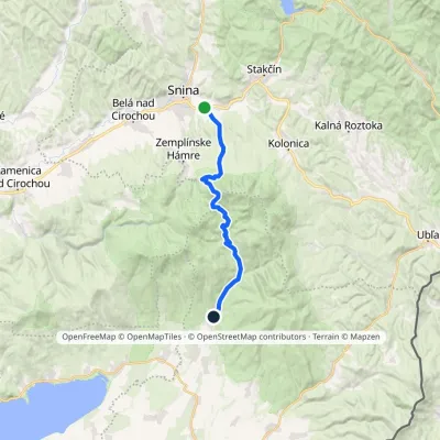 ModerateTwo-dayMarkedRemetské Hámre Snina, stationElevation profile224–1 006 m21.2 kmascent 781 m≈ 7 h walkingunder 1 km from Morské oko — the largest lake of the Vihorlat hills
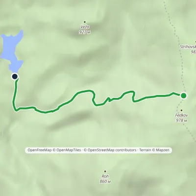 EasyOne-dayMarkedKrivec, Parking Strihovská MeadowElevation profile555–973 m4 kmascent 69 m≈ 1 h walkingunder 1 km from Morské oko — the largest lake of the Vihorlat hills
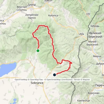 HardMulti-dayMarkedRemetské Hámre KoňušElevation profile272–1 023 m47.5 kmascent 2 062 m1.1 km from Morské oko — the largest lake of the Vihorlat hills
Nearby attractions
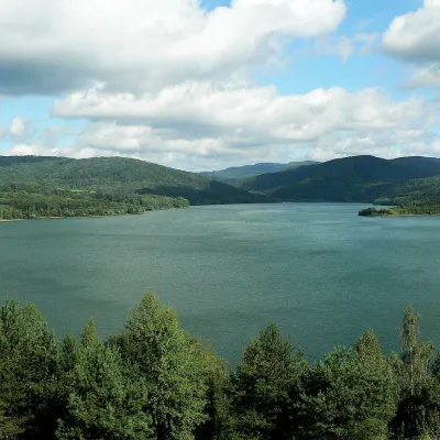 LakeStarina Reservoir in Poloniny National Park16 km from Morské oko — the largest lake of the Vihorlat hillsStarina is the largest drinking-water reservoir in Slovakia and, according to Slovak sources, the largest source of drinking water in Central Europe.
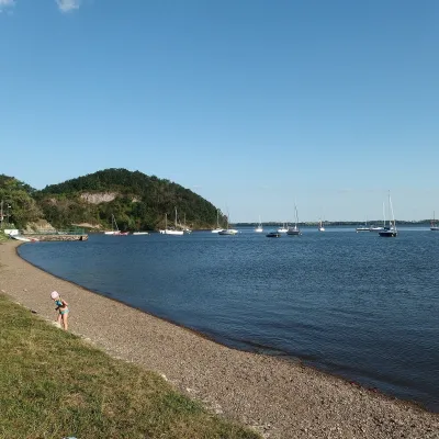 LakeZemplínska šírava — the “Slovak Sea” below the Vihorlat19 km from Morské oko — the largest lake of the Vihorlat hillsThe “Slovak Sea” by the Ukrainian border Zemplínska šírava is a large reservoir in eastern Slovakia, in the Bodrog basin below the Vihorlat hills.
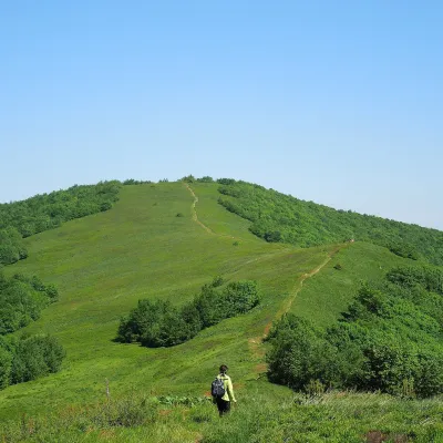 Mountain meadowĎurkovec and Pľaša meadowsaltitude 1 189 m · Gorgany range26 km from Morské oko — the largest lake of the Vihorlat hillsThe Ďurkovec meadows are the finest mountain grasslands of the Slovak Poloniny: grassy slopes covering the border ridge of the Bukovské vrchy between Pľaša (1,162.8 m)...
Craft nearby
All craft places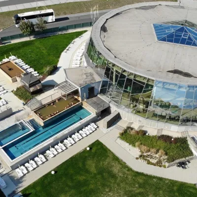 Water parks & thermal poolsThermalpark Šírava in Kaluža, Zemplínska Šírava19 km from Morské oko — the largest lake of the Vihorlat hillsThermalpark Šírava (Thermalpark ŠÍRAVA) stands in the village of Kaluža on the northern shore of the Zemplínska Šírava — a large reservoir in eastern Slovakia.
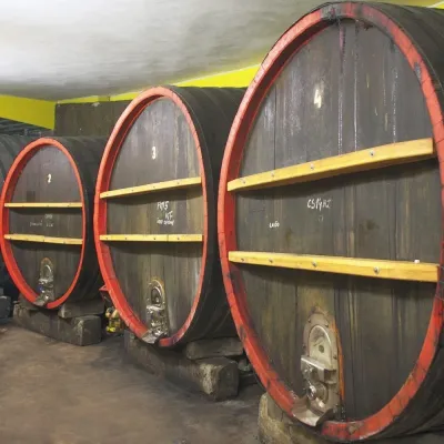 Wine & tastingsPivnica Orechová below Vihorlat: tastings in a deep wine cellar24 km from Morské oko — the largest lake of the Vihorlat hillsVihorlat is a volcanic range in eastern Slovakia, best known for the Morské oko lake and its beech primeval forests.
 Crafts & workshopsVeraikon Icon Studio, Cisna: Carpathian icons and workshops35 km from Morské oko — the largest lake of the Vihorlat hillsThe Veraikon Icon Studio (Pracownia Ikon Veraikon) in Cisna is, in its owners' words, the oldest and largest icon studio in the Bieszczady.
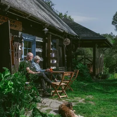 Craft producersBieszczadzkie Smaki, Smolnik: bread, liqueurs, preserves38 km from Morské oko — the largest lake of the Vihorlat hillsBieszczadzkie Smaki (“Bieszczady Flavours”) is a family producer of natural foods in the village of Smolnik on the Osława river, Komańcza municipality, on the western...
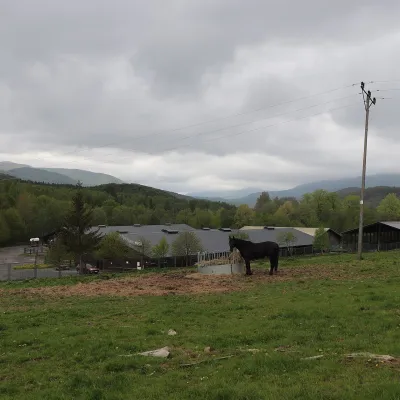 Horse ridingHucul Horse Stud in Wołosate, Bieszczady National Park39 km from Morské oko — the largest lake of the Vihorlat hillsWołosate is the southernmost inhabited village in Poland, tucked away in the valley of the Wołosatka stream below Tarnica, the highest peak of the Polish Bieszczady.
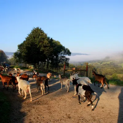 Cheese dairies & pasturesBieszczadzka Koza Goat Cheese Farm, Smolnik49 km from Morské oko — the largest lake of the Vihorlat hillsBieszczadzka Koza ("the Bieszczady Goat") is a family goat farm and artisan cheese dairy in the village of Smolnik on the San, in the eastern Polish Bieszczady, right...
