Remetské Hámre – Koňuš
Trail map
Route, springs and shelters: © OpenStreetMap contributors (ODbL) · elevation: Copernicus DEM © DLR e.V., © Airbus DS · Data & licences
About the trail
Route Remetské Hámre – Koňuš. Has red marking (national route №0912, KST). Waymarking data: OpenStreetMap (© OpenStreetMap contributors, ODbL).
Officially marked national tourist route No. 0912. Marking is red, sign — horizontal stripe on a white background. Marked and maintained by: KST. Length of the route — 47.5 km. Location: mountain range — Vihorlat, Slovakia.
At a glance
A multi-day route of 47.5 km with 2,062 m of ascent from Remetské Hámre to Koňuš. Estimated time: 2 days of 6–9 h of walking (about 15.5 h in total, not counting stops). Difficulty: hard. Waymarking: red.
Route stages
- 0–4 kmClimb of 510 m to Lysák (821 m)
- 4–16 kmGentle ups and downs at 770–1,020 m, past Jedlinky, Tri tably Pass, Sninský kameň, Nežabec
- 16–33 kmDescent of 690 m (down to 326 m)
- 33–42 kmClimb of 440 m (up to 767 m)
- 42–48 kmDescent of 490 m to Koňuš
Steepest kilometre: km 2–3, a climb of 220 m (≈21%).
Water and overnight stays
Springs near the trail: at km 1, 3, 5, 7, 11, 12, 19, 20, 26 and 28 etc.. There are no springs between km 32 and 42 — carry at least 2 l of water.
Huts and shelters near the trail: Voľa Hut (km 5), Vartáš Hut (km 19).
A possible split into days:
- Day 1: km 0–19, ≈6.5 h — overnight: Vartáš Hut (hut)
- Day 2: km 19–48, ≈9 h — finish
When to go
Best time: May to October. In winter deep snow is possible, so experience and winter gear are needed.
Getting there
Start: Remetské Hámre. This is a one-way route: the finish is 10 km from the start in a straight line, so plan your way back in advance.
FAQ
- How long does the route take?
- Estimated time: 2 days of 6–9 h of walking (about 15.5 h in total, not counting stops).
- Is there water on the route?
- Springs near the trail: at km 1, 3, 5, 7, 11, 12, 19, 20, 26 and 28 etc.. There are no springs between km 32 and 42 — carry at least 2 l of water.
- Where can I stay overnight?
- Huts and shelters near the trail: Voľa Hut (km 5), Vartáš Hut (km 19). Possible overnight stops: Vartáš Hut (km 19).
Water and shelter on the route
- Telekia Springkm 1.2 from the start · 130 m off the path · Not verified · 346 m
- Krčma u Zdena Springkm 3.5 from the start · Not verified · 703 m
- Voľa Springkm 4.8 from the start · 140 m off the path · Not verified · 745 m
- Voľa Hutkm 4.8 from the start · Not verified · 763 m
- Spring below Tŕstie (east slope)km 7.2 from the start · Not verified · 864 m
- Romancova studnička Springkm 10.9 from the start · 300 m off the path · Not verified · 761 m
- Spring under Sninský Kameňkm 12.3 from the start · 140 m off the path · Not verified · 947 m
- Spring below Fedkov (south-east slope), 945 mkm 18.7 from the start · Not verified · 945 m
- Vartáš Hutkm 18.8 from the start · Not verified · 947 m
- Spring below Fedkov (south-east slope), 860 mkm 19.3 from the start · 100 m off the path · Not verified · 860 m
- Spring below Žbirkm 20 from the start · 100 m off the path · Not verified · 751 m
- Rulka Springkm 25.7 from the start · 250 m off the path · Not verified · 769 m
- Spring below Plieška (south slope)km 28.2 from the start · Not verified · 717 m
- Lysá horakm 31.6 from the start · Not verified · 471 m
- Spring below Starý Koňuškm 41.8 from the start · 60 m off the path · Not verified · 758 m
Comments
Trails nearby
All trails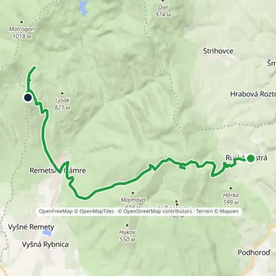 ModerateTwo-dayMarkedRemetské Hámre Ruská BystráElevation profile294–843 m19.2 kmascent 1 009 m≈ 7 h walking
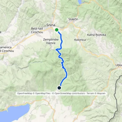 ModerateTwo-dayMarkedRemetské Hámre Snina, stationElevation profile224–1 006 m21.2 kmascent 781 m≈ 7 h walking
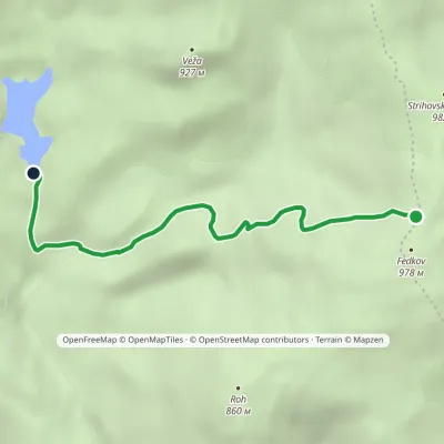 EasyOne-dayMarkedKrivec, Parking Strihovská MeadowElevation profile555–973 m4 kmascent 69 m≈ 1 h walking
Craft nearby
All craft places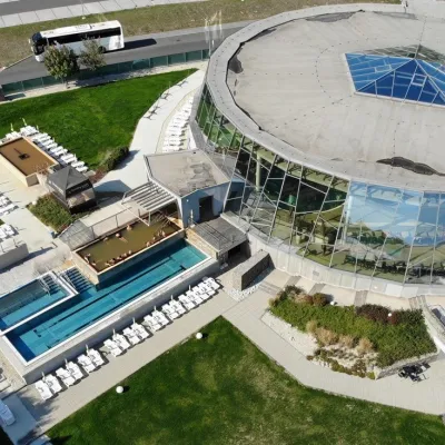 Water parks & thermal poolsThermalpark Šírava in Kaluža, Zemplínska Šírava14 km from the trailThermalpark Šírava (Thermalpark ŠÍRAVA) stands in the village of Kaluža on the northern shore of the Zemplínska Šírava — a large reservoir in eastern Slovakia.
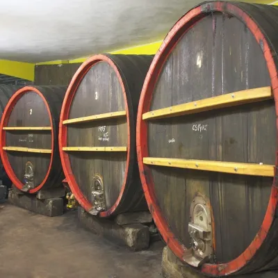 Wine & tastingsPivnica Orechová below Vihorlat: tastings in a deep wine cellar17 km from the trailVihorlat is a volcanic range in eastern Slovakia, best known for the Morské oko lake and its beech primeval forests.
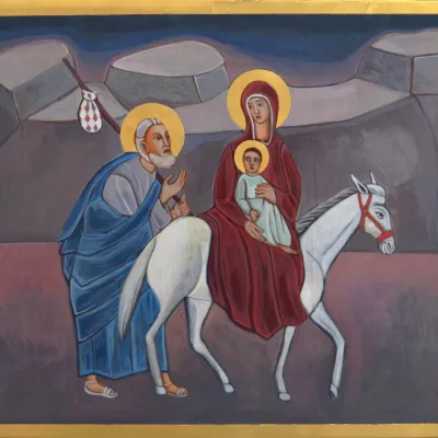 Crafts & workshopsVeraikon Icon Studio, Cisna: Carpathian icons and workshops42 km from the trailThe Veraikon Icon Studio (Pracownia Ikon Veraikon) in Cisna is, in its owners' words, the oldest and largest icon studio in the Bieszczady.
