Riaba Skała – Zatwarnica
Trail map
Route, springs and shelters: © OpenStreetMap contributors (ODbL) · elevation: Copernicus DEM © DLR e.V., © Airbus DS · Data & licences
About the trail
Route Riaba Skała – Zatwarnica. Has yellow marking (regional route, PTTK). Waymarking data: OpenStreetMap (© OpenStreetMap contributors, ODbL).
Officially marked regional tourist route. Marking is yellow, sign — horizontal stripe on a white background. Marked and maintained by: PTTK. Length of the route — 20.1 km. Location: mountain range — Bieszczady, Poland. Part of the routes passes through Bieszczady National Park: entrance is paid, leaving the trails is prohibited.
At a glance
A one-day route of 20.1 km with 1,269 m of ascent from Riaba Skała to Zatwarnica. Estimated walking time: about 7 h, not counting stops. Difficulty: hard. Waymarking: yellow.
Route stages
- 0–5 kmGentle ups and downs at 510–660 m
- 5–8 kmClimb of 430 m to Mieczysław Orłowicz Pass
- 8–12 kmDescent of 470 m (down to 623 m)
- 12–16 kmClimb of 380 m to Jawornik (1,021 m)
- 16–20 kmGentle ups and downs at 970–1,190 m, past Paportna, Rabia Skała
Steepest kilometre: km 14–15, a climb of 200 m (≈20%).
Water and overnight stays
Our map shows no springs near the trail — bring your own water (at least 3 l).
When to go
Best time: May to October. In winter deep snow is possible, so experience and winter gear are needed.
Getting there
Start: Riaba Skała. This is a one-way route: the finish is 16 km from the start in a straight line, so plan your way back in advance.
FAQ
- How long does the route take?
- Estimated walking time: about 7 h, not counting stops.
- Is there water on the route?
- Our map shows no springs near the trail — bring your own water (at least 3 l).
Comments
Trails nearby
All trails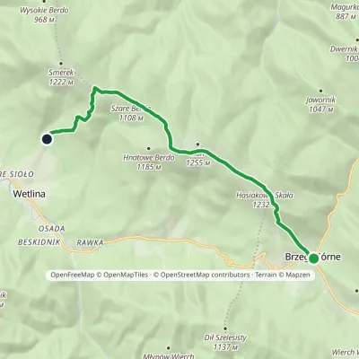 ModerateOne-dayMarkedNature trail «Globeflower» on Połonina WetlińskaElevation profile735–1 248 m10.3 kmascent 611 m≈ 4 h walking
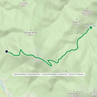 EasyOne-dayMarkedNature trail Suche Rzeki Smerek «Silver Fir»Elevation profile612–1 206 m8 kmascent 594 m≈ 3 h walking
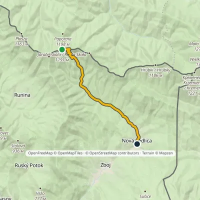 EasyOne-dayMarkedNová Sedlica WetlinaElevation profile390–1 189 m10.8 km≈ 2.5 h walking
Craft nearby
All craft places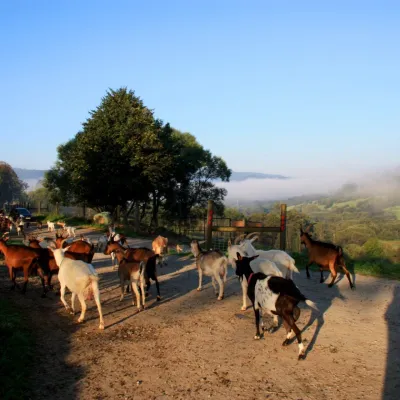 Cheese dairies & pasturesBieszczadzka Koza Goat Cheese Farm, Smolnik10 km from the trailBieszczadzka Koza ("the Bieszczady Goat") is a family goat farm and artisan cheese dairy in the village of Smolnik on the San, in the eastern Polish Bieszczady, right...
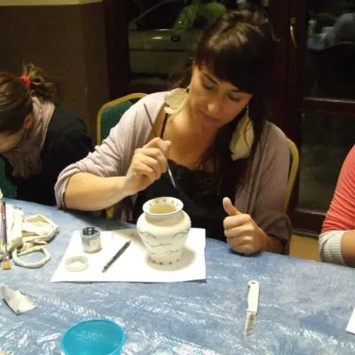 Crafts & workshopsGaleria Barak, Czarna: Bieszczady ceramics and workshops14 km from the trailGaleria Barak in the village of Czarna near Ustrzyki Dolne is the first private art gallery in the Bieszczady, and its story deserves telling.
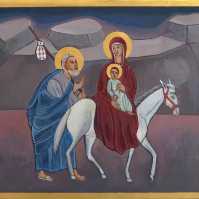 Crafts & workshopsVeraikon Icon Studio, Cisna: Carpathian icons and workshops16 km from the trailThe Veraikon Icon Studio (Pracownia Ikon Veraikon) in Cisna is, in its owners' words, the oldest and largest icon studio in the Bieszczady.
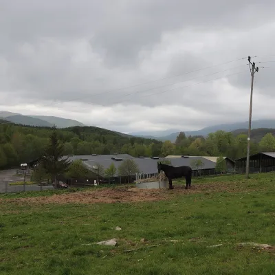 Horse ridingHucul Horse Stud in Wołosate, Bieszczady National Park20 km from the trailWołosate is the southernmost inhabited village in Poland, tucked away in the valley of the Wołosatka stream below Tarnica, the highest peak of the Polish Bieszczady.
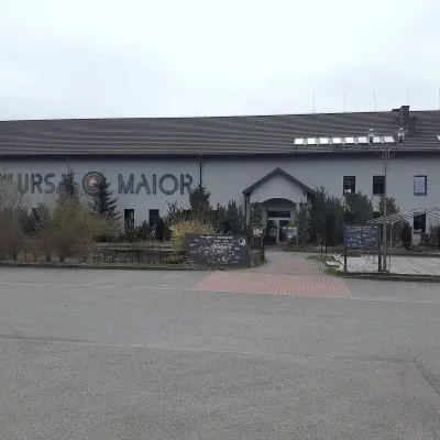 Craft beer & breweriesUrsa Maior Brewery, Uherce Mineralne29 km from the trailUrsa Maior, or the Bieszczady Brewery (Bieszczadzka Wytwórnia Piwa), is an independent craft microbrewery in the village of Uherce Mineralne, between Lesko and...
 Craft producersBieszczadzkie Smaki, Smolnik: bread, liqueurs, preserves32 km from the trailBieszczadzkie Smaki (“Bieszczady Flavours”) is a family producer of natural foods in the village of Smolnik on the Osława river, Komańcza municipality, on the western...
