Winter hiking in the Carpathians: safety, gear and easy routes

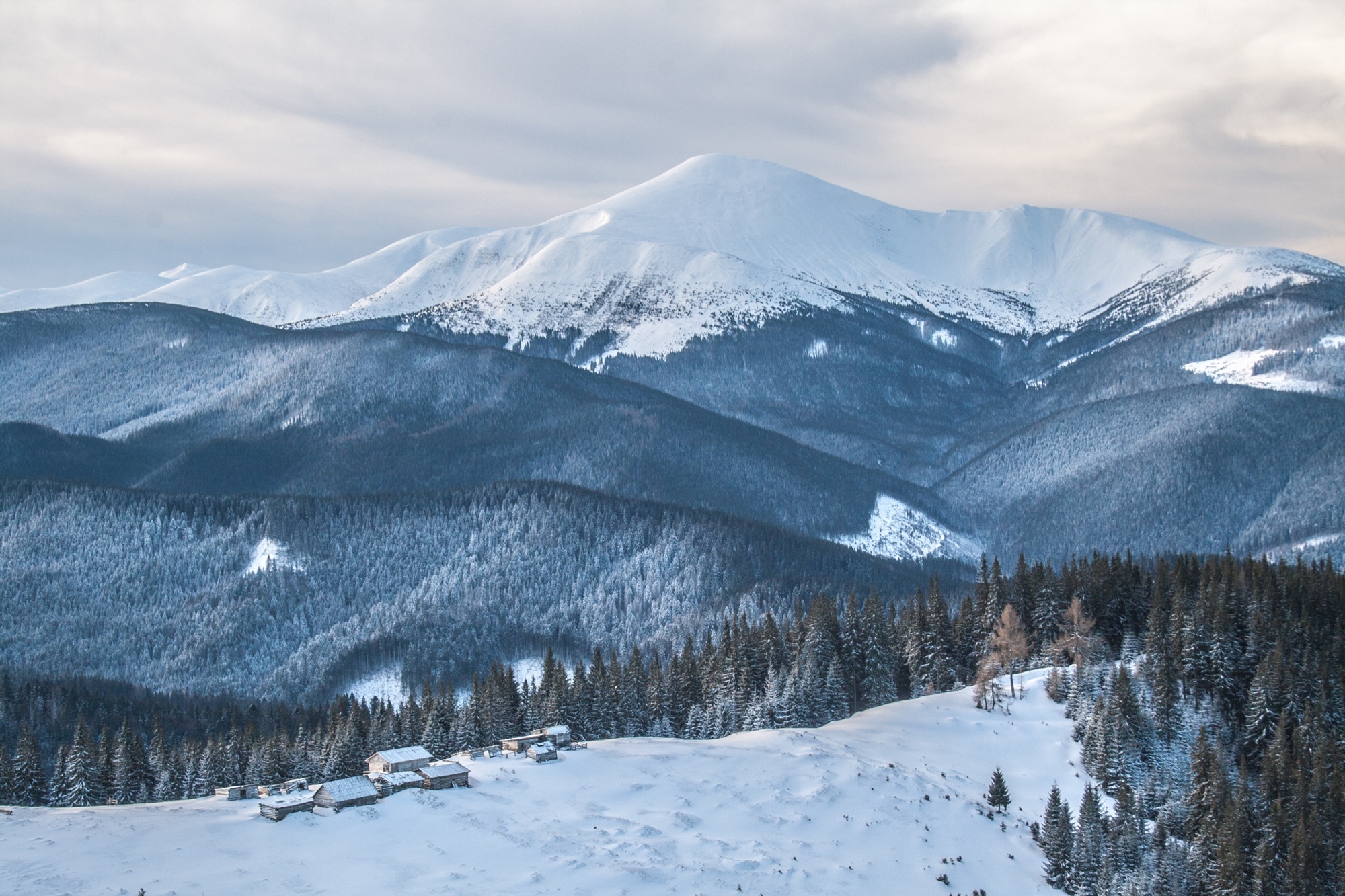
The Carpathians are beautiful in winter, but they don’t forgive mistakes: short days, ice, wind on the ridges and avalanches up high. Here is whether to climb Hoverla in winter, what to put in your backpack, how to let rescuers know your route — and 8 easy routes below 1,400 m that people walk every week.
Not only skiers head to the Carpathians in winter: many people want to see snowy meadows and forests covered in frost. It is possible, but the rules are different from summer. What matters most is choosing a route that matches your experience, the weather and the daylight. Below is what to know before you set out, and eight routes to start with.
Can you climb Hoverla in winter?
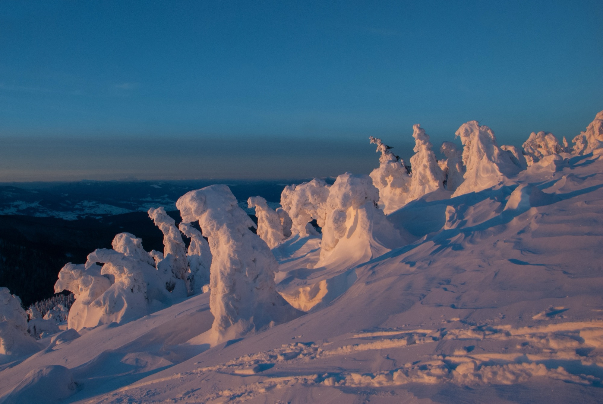
Yes, but only with winter hiking experience and the right gear. Hoverla (2,061 m) is Ukraine’s highest peak, in the Chornohora range. The shortest way up is the blue route from the Zaroslyak base: about 3.7 km one way and roughly 800 m of ascent. In summer it is an easy hike; in winter the upper slope turns into hard crust and ice, the wind is strong, and inside a cloud visibility can drop to a few metres.
Ice is what causes most accidents: in January 2022 a hiker died on the icy slope of Hoverla and two more were injured. So in winter people climb Hoverla with crampons (not microspikes), an ice axe and the skills to use them, on a clear day without storm winds or avalanche warnings. If you don’t have that, pick one of the easy routes below and come back to Hoverla in summer.
As of 2025–2026, the routes to Hoverla from Zaroslyak are open. Further south, along the Romanian border, a ban applies: order No. 1663-АГ of the 31st Border Guard Detachment closes, among others, Mala Hoverla, Turkul, Brebeneskul and Pip Ivan Chornohirskyi to hikers. So in winter, don’t continue along the ridge beyond Hoverla.
Why the high mountains in winter are for experienced hikers only
- Ice and crust. On open slopes above the tree line snow turns to ice, and a fall on such a slope is hard to stop.
- Wind and frost. On the ridges the wind makes it feel much colder; frostbitten fingers and faces happen even in mild frost.
- Visibility. In cloud and blizzard the path and the waymarks get buried, and even experienced hikers lose the route.
- Avalanches. They come down on steep high slopes, most often after heavy snowfall and during thaws.
- Short days. A timing mistake in winter means descending in the dark.
Short daylight
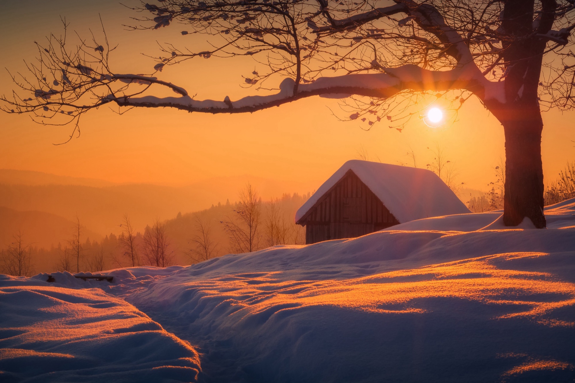
In December, in Ivano-Frankivsk the sun rises around 08:12 and sets around 16:26: just 8 hours 14 minutes of daylight on 21 December. In the mountains — in valleys and forests — it gets dark even earlier. The rule is simple: start at dawn, set a turnaround time (say, 12:30–13:00) and turn back at that time even if the top is very close. A headlamp with spare batteries is a must even on a short route.
Avalanche danger
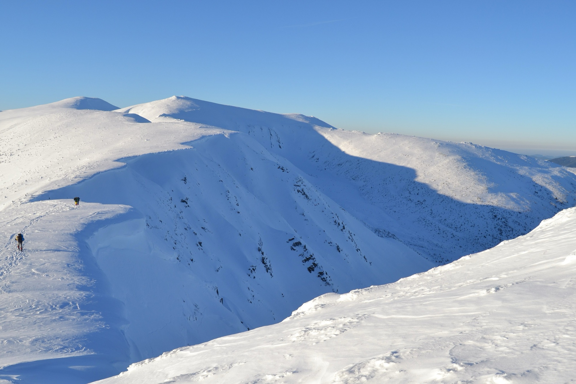
Avalanche forecasts for the Ukrainian Carpathians are issued by the Ukrainian Hydrometeorological Center by danger level (for example, “considerable avalanche danger, level 3” in January 2025), and the State Emergency Service passes the warnings on. The steep high slopes of Chornohora, Svydovets and the Marmarosh, roughly above 1,450–1,600 m, are the most dangerous. Warnings usually run from late November or December to March or April. If avalanche danger or storm winds are announced, rescuers advise postponing the hike. The routes below run through forests and low meadows with practically no avalanche risk — but the ice and the frost are the same.
What to pack for the mountains in winter
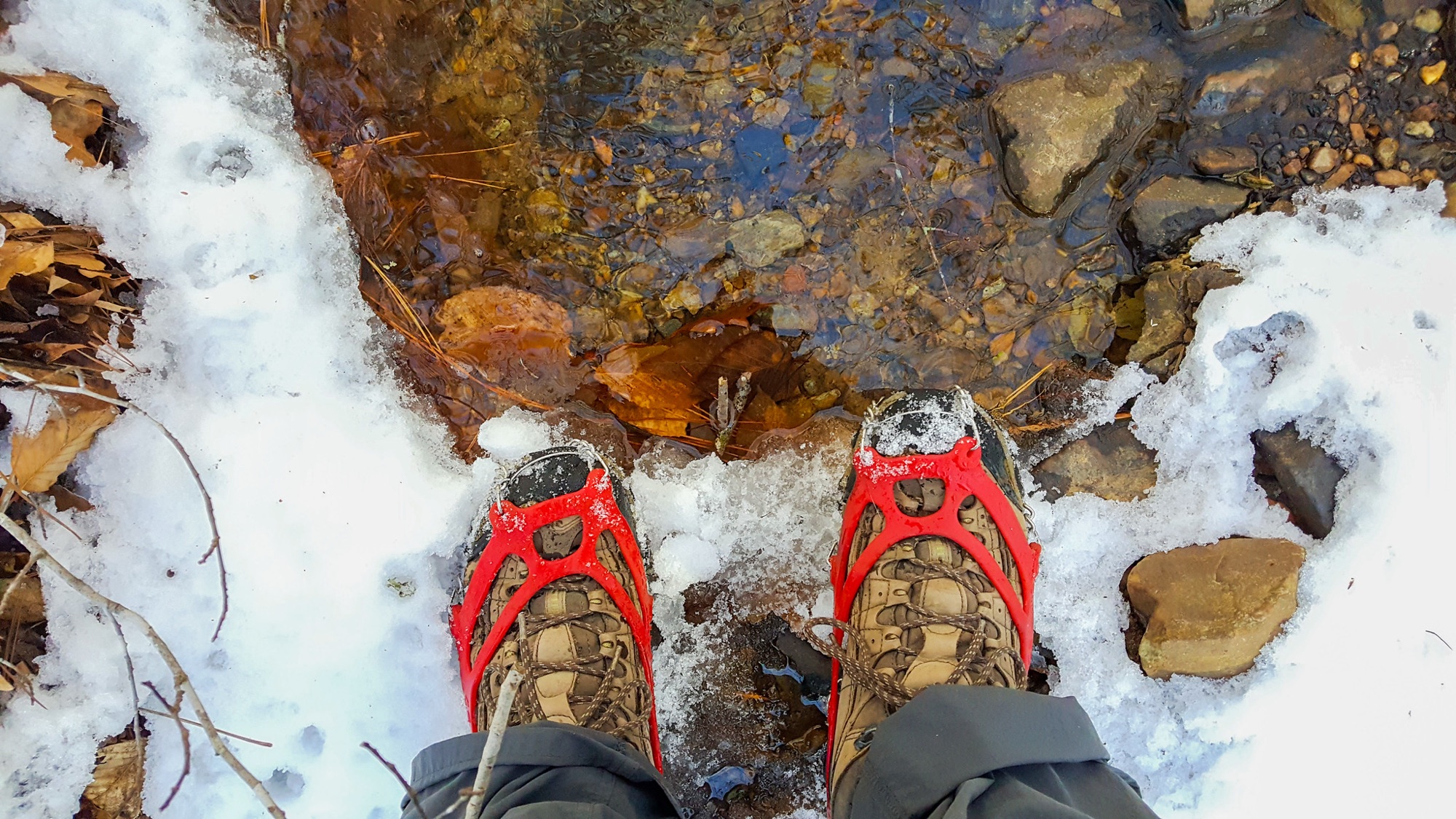
- Layers: thermal underwear (no cotton), a fleece or down jacket, and a waterproof shell jacket and trousers on top. A spare dry layer in the pack.
- A hat, a buff, two pairs of gloves (thin and warm), sunglasses.
- Footwear: warm, broken-in waterproof hiking boots and snow gaiters.
- Microspikes — rubber harnesses with small spikes for forest and low routes. Crampons — rigid metal points for ice and steep high slopes, used together with an ice axe.
- Trekking poles with wide winter baskets.
- A headlamp and spare batteries, a charged phone and a power bank (batteries drain faster in the cold — keep the phone in an inside pocket).
- A thermos of hot tea and a snack for every hour.
- An offline map and the route track (every route page on our site has a GPS track to download), a first-aid kit and a survival blanket.
More on clothing and boots in our older article “What you need to know for a winter hike”.
101, 112 and telling the rescuers
In the mountains, call 101 (State Emergency Service) or 112. Before setting out, the rescuers advise registering your route: the websites of the regional emergency service departments in Ivano-Frankivsk, Zakarpattia, Chernivtsi and Lviv oblasts have a “Registration of tourist groups” section (in Ukrainian). Another way is the service’s mobile app “Poriatunok u horakh” (Rescue in the mountains), which lets you register a hike and send an SOS with your coordinates. Registration is not compulsory, but if something happens, the rescuers will know where to look. And always tell someone where you are going and when you will be back.
8 easy winter routes below 1,400 m
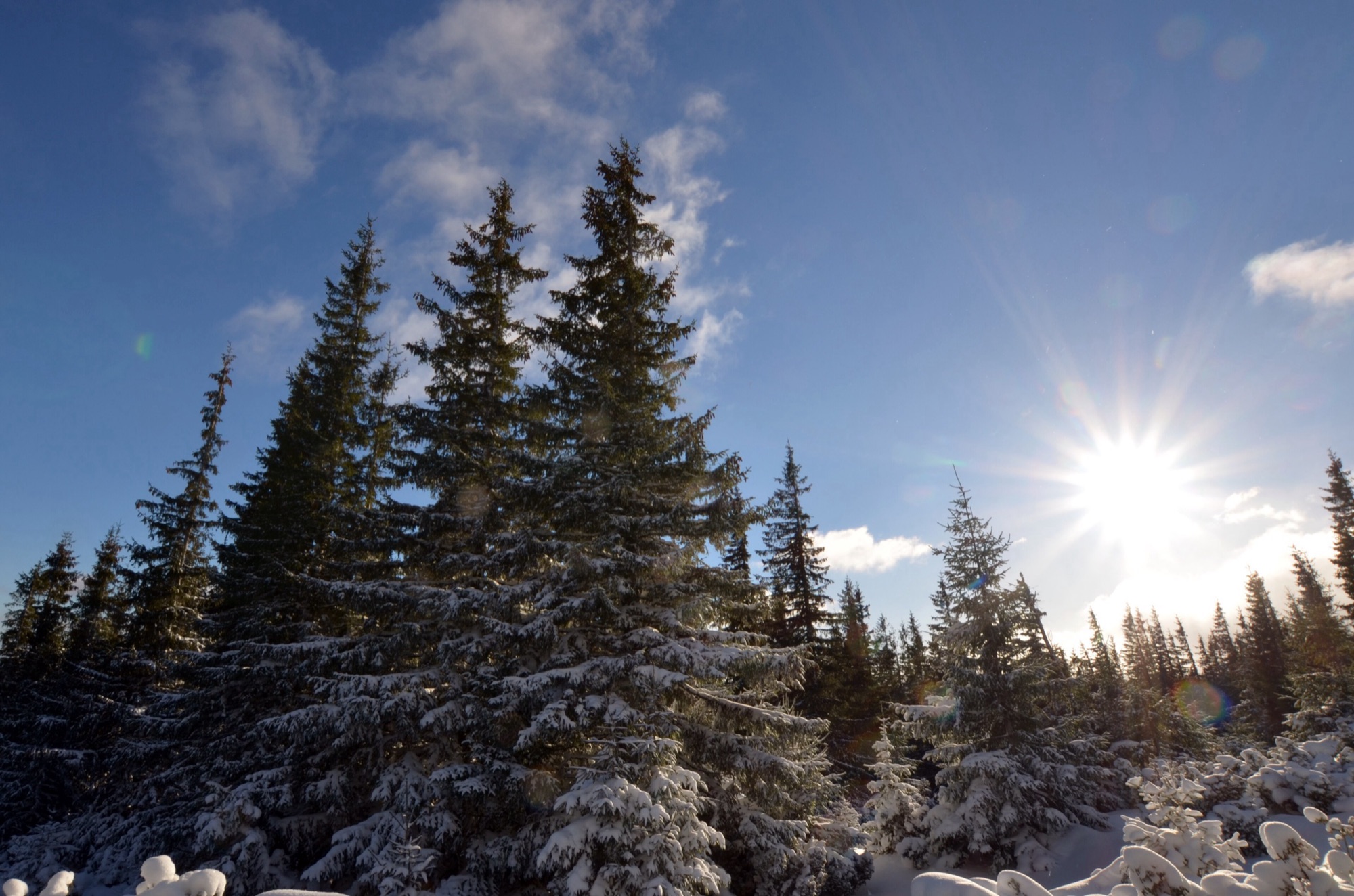
We also suggest these routes in our Telegram channel in winter: all of them stay below 1,400 m, take up to 3 hours, have moderate ascent and stay outside the border strip. People walk them every week. Even so, in winter you need warm boots, microspikes and a checked forecast.
- Yaremche — Mount Makovytsia — 5.1 km, +460 m ascent, top 984 m, ≈ 2 h. through the forest straight from town, views of the Prut valley and the Gorgany.
- Yaremche — Dovbush Rocks — Yaremche — 7.1 km, +202 m ascent, top 750 m, ≈ 2 h. a loop to a rock labyrinth in the forest, the easiest of the eight.
- Zhenets tract — Zhenetskyi Huk waterfall — 7 km, +218 m ascent, top 869 m, ≈ 2 h. along a forest road to a waterfall that freezes in winter.
- Maniava — Maniava waterfall — 7 km, +213 m ascent, top 711 m, ≈ 2 h. through the forest past the Maniava Skete to a waterfall on the Maniavka stream.
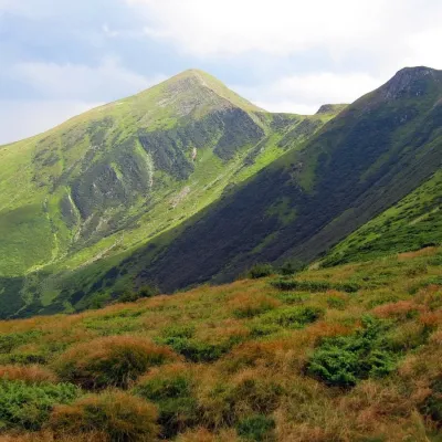
- Zhynets tract — Khomiakiv polonyna — 7.7 km, +572 m ascent, top 1,352 m, ≈ 3 h. the highest of the eight: an open meadow facing Chornohora; don’t continue to Mount Khomiak in winter.
- Yamna — Yavirnyk polonyna — 5 km, +567 m ascent, top 1,205 m, ≈ 2–2.5 h. short but steep, up to a Gorgany meadow above Yaremche.
- Turia Poliana — Voievodyn waterfall — 7 km, +447 m ascent, top 878 m, ≈ 2.5 h. Zakarpattia: a forest path to a cascade among rocks.
- Nedilna — Tower of Memory — 9 km, +386 m ascent, top 826 m, ≈ 3 h. Lviv region: a calm walk through the Boiko land to a lookout tower.
Distance and ascent come from the GPS tracks on the route pages; times are approximate, without breaks. All Carpathian routes with difficulty filters are in the Routes section. And if you’d rather have a winter without hiking, here are 14 ideas for the Carpathians without skis.
Frequently asked questions
Can you climb Hoverla in winter?
Yes, the routes from the Zaroslyak base are open, but in winter it is a climb for experienced hikers only: the upper slopes are icy and windy. You need crampons, an ice axe, clear weather and an early start. Beginners should pick an easy forest route below 1,400 m instead.
How long is the hike to Hoverla from Zaroslyak?
The blue route is about 3.7 km one way with roughly 800 m of ascent. In summer that is 2.5–3 hours up; in winter it takes longer, depending on the snow.
What should I pack for the mountains in winter?
Layers (thermal underwear, fleece, waterproof shell), a hat, two pairs of gloves, warm boots with gaiters, microspikes or crampons, poles, a headlamp, a thermos, a power bank, a first-aid kit and an offline map.
Do I have to register my hike with the rescuers?
No, it is a recommendation. You can register your group on the websites of the regional emergency service departments (“Registration of tourist groups”) or in the “Poriatunok u horakh” app. The rescue number is 101 or 112.
What is the difference between microspikes and crampons?
Microspikes are rubber harnesses with small spikes for forest paths and icy tracks. Crampons have long rigid metal points and are needed on ice and steep high slopes, together with an ice axe.
 1Mount HoverlaHoverla (2061 m) is the highest mountain in Ukraine, in the Chornohora range on the border of the Ivano-Frankivsk and Zakarpattia regions. The shortest ascent, from the Zaroslyak base, is 3.7 km with 795 m of climbing, about 2.5 hours. From the top you see the whole Chornohora ridge, from Petros...Learn more
 2Mount Makovytsia, YaremcheMakovytsia (984 m) is a mountain of the Gorgany range on the eastern edge of Yaremche, in the Carpathian National Nature Park; a cross stands on the summit and a meadow with a cheese farm lies on the slope. From the souvenir market in Yaremche it is about 5 km and over 400 m up, 2–3 hours of...Learn more
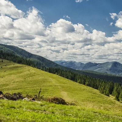 3Polonyna KhomyakovA large sloping meadow on the northern slopes of the Sinyaka-Homiak ridge. From here, there are trails to the valley of the Zhenets stream (a long straight cut to the north), ascent to Mount Hamster (southwest), a trail along the ridge through the zherep to the top of Synyak (southeast), traverse...Learn more
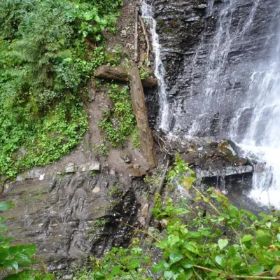 4Zhenetsky Hook waterfallZhenetskyi Huk is one of the most convenient Carpathian waterfalls for tourists, as it is accessible by a direct, asphalt road. It is also one of the most beautiful waterfalls in the world. Zhenetskyi Huk gets a truly unique look during snowmelt and after heavy rains, when, in addition to the...Learn more
Before every outing: check the forecast and avalanche warnings, tell someone your route and return time, and register with the rescuers. If the weather turns, turn back — the mountain will still be there. The rescue number is 101 or 112.
Updated: 12 November 2026.
Cover photo: Robert-Erik, CC BY-SA 4.0.
Video 2
 Як обрати безпечний гірський маршрут взимку. Поради рятувальниківСуспільне Ужгород

- ukrinform.ua/rubric-society/3952508-z-pocatku...
- dpsu.gov.ua/uk/dodatok-1-do-nakazu-31-prikord...
- fakty.com.ua/ua/ukraine/suspilstvo/20250107-u...
- kmu.gov.ua/news/ryatuvalniki-zaklikayut-ukray...
- fakty.com.ua/ua/proisshestvija/20220115-turys...
- timeanddate.com/sun/ukraine/ivano-frankivsk?m...
- zaxid.net/goverla_chornogirskiy_hrebet_n1374220
Comments
Travellers’ experience: reports, tips, questions.
No one has written here yet. Be the first — your experience helps others.
Places from the article
 EasyOne-dayMarkedManiava village Maniava WaterfallElevation profile519–711 m7 kmascent 213 m≈ 2 h walking
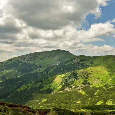 PeakMount Pip Ivan of Chornohora (Pip Ivan, Black Mountain)Dzembroniaaltitude 2 028 m93 trails to the topPip Ivan Chornohirskyi (2028 m) is the third highest mountain in Ukraine, at the south-eastern end of the Chornohora...
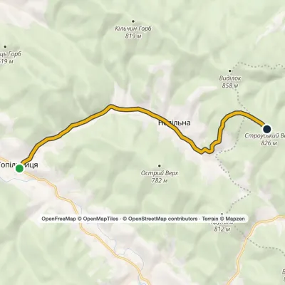 EasyOne-dayMarkedNedilna Tower of MemoryElevation profile441–826 m9 kmascent 386 m≈ 3 h walking
 EasyOne-dayTuria Poliana village Voievodyn WaterfallElevation profile431–878 m7 kmascent 447 m≈ 2.5 h walking
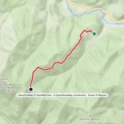 EasyOne-dayYamna village Yavirnyk polonynaElevation profile638–1 205 m5 kmascent 567 m≈ 2 h walking
 EasyOne-dayYaremche loopvia Dovbush RocksElevation profile533–750 m7.1 kmascent 202 m≈ 2 h walking
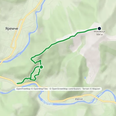 EasyOne-dayMarkedYaremche Mount MakovytsiaElevation profile555–984 m5.1 kmascent 460 m≈ 2 h walking
 EasyOne-dayMarkedZaroslyak base Mount HoverlaElevation profile1 266–2 061 m3.7 kmascent 795 m≈ 2.5 h walking
 EasyOne-dayMarkedZhenets tract Zhenetskyi Huk WaterfallElevation profile648–869 m7 kmascent 218 m≈ 2 h walking
Where to stay nearby
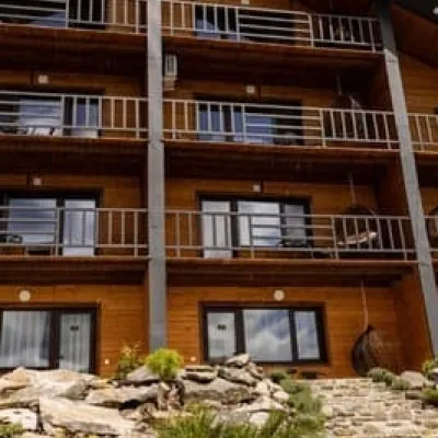 HotelManyava ResortIvano-FrankivskHot tubPoolSaunafrom 4 200 UAH per night
 HotelPid Vukhatym KamenemDzembroniaHot tubBBQParkingfrom 1 210 UAH per night
 HotelKaskadSambirHot tubSaunaBBQfrom 1 900 UAH per night
 HotelTuryanskyi DvirPolyanaHot tubBreakfastBBQfrom 2 400 UAH per night
 HotelBilohir'yaYaremchePoolBBQParkingfrom 5 880 UAH per night
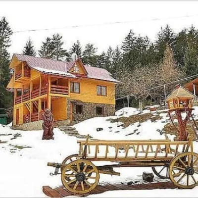 HotelLisova KazkaYaremcheSaunaBBQParkingfrom 2 200 UAH per night
Trails nearby
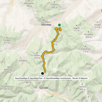 ModerateOne-dayMarkedManiava village Monastyretska polonynaElevation profile497–950 m12.1 kmascent 406 m≈ 3.5 h walking
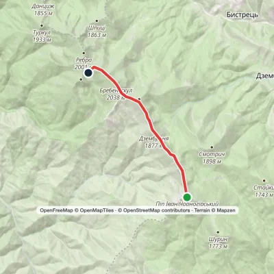 EasyOne-dayMount Pip Ivan Chornohirskyi to Lake Brebeneskulvia Mount Dzembronia, Mount BrebeneskulElevation profile1 799–2 035 m8.8 kmascent 364 m≈ 3 h walking
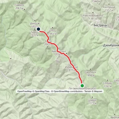 ModerateOne-dayMarkedMount Pip Ivan Chornohirskyi to Lake Nesamovytevia Mount Dzembronia, Mount RebraElevation profile1 742–2 028 m13.3 kmascent 329 m≈ 4 h walking
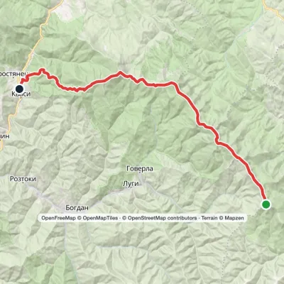 Hard1–2 daysMarkedMount Pip Ivan Chornohirskyi to Kvasy villagevia Mount Hoverla, Mount PetrosElevation profile536–2 061 m39.7 kmascent 1 467 m≈ 12.5 h walking
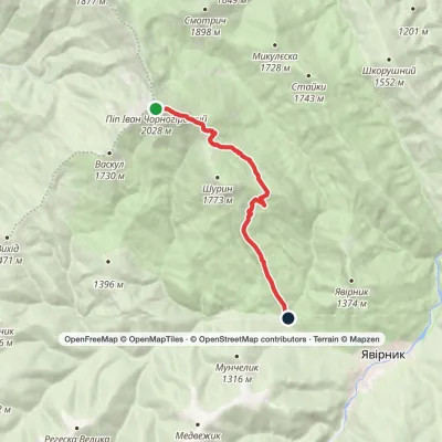 EasyOne-dayMarkedMount Pip Ivan Chornohirskyi to Shybene villagevia Vesnarka polonynaElevation profile908–2 028 m8.9 kmascent 61 m≈ 2.5 h walking
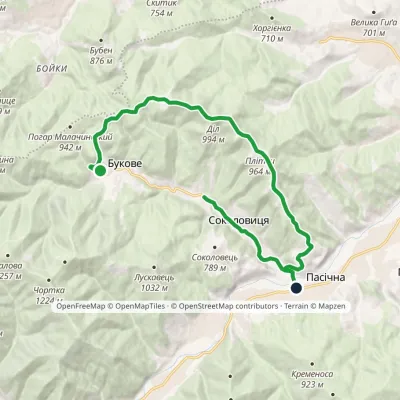 ModerateOne-dayMarkedBukove Bukhtivets-Bystrytsia waterfallElevation profile520–994 m15.5 kmascent 369 m≈ 4.5 h walking
You may also be interested in
All articles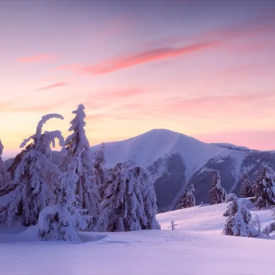 The Carpathians in winter 2026/27: where to go if you don’t skiWinter in the Ukrainian Carpathians is not only about ski runs and lift queues. A hot chan in the snow, a fireplace in a wooden Sadyba,...
 Carpathian trip planner: how to plan your route, overnights and a PDF planA trip to the mountains usually starts with a dozen browser tabs: the trail on one site, the place to stay on another, the drive in a...
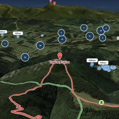 The best maps of the Carpathians: trails, 3D terrain and places to stay on one mapFor years we have been piecing the Carpathians together: trails, springs, mountain meadows, guesthouses, waterfalls. Now it all sits on...
